Article by Keanu John Pelitro | Documentation by Julia Fye Manzano
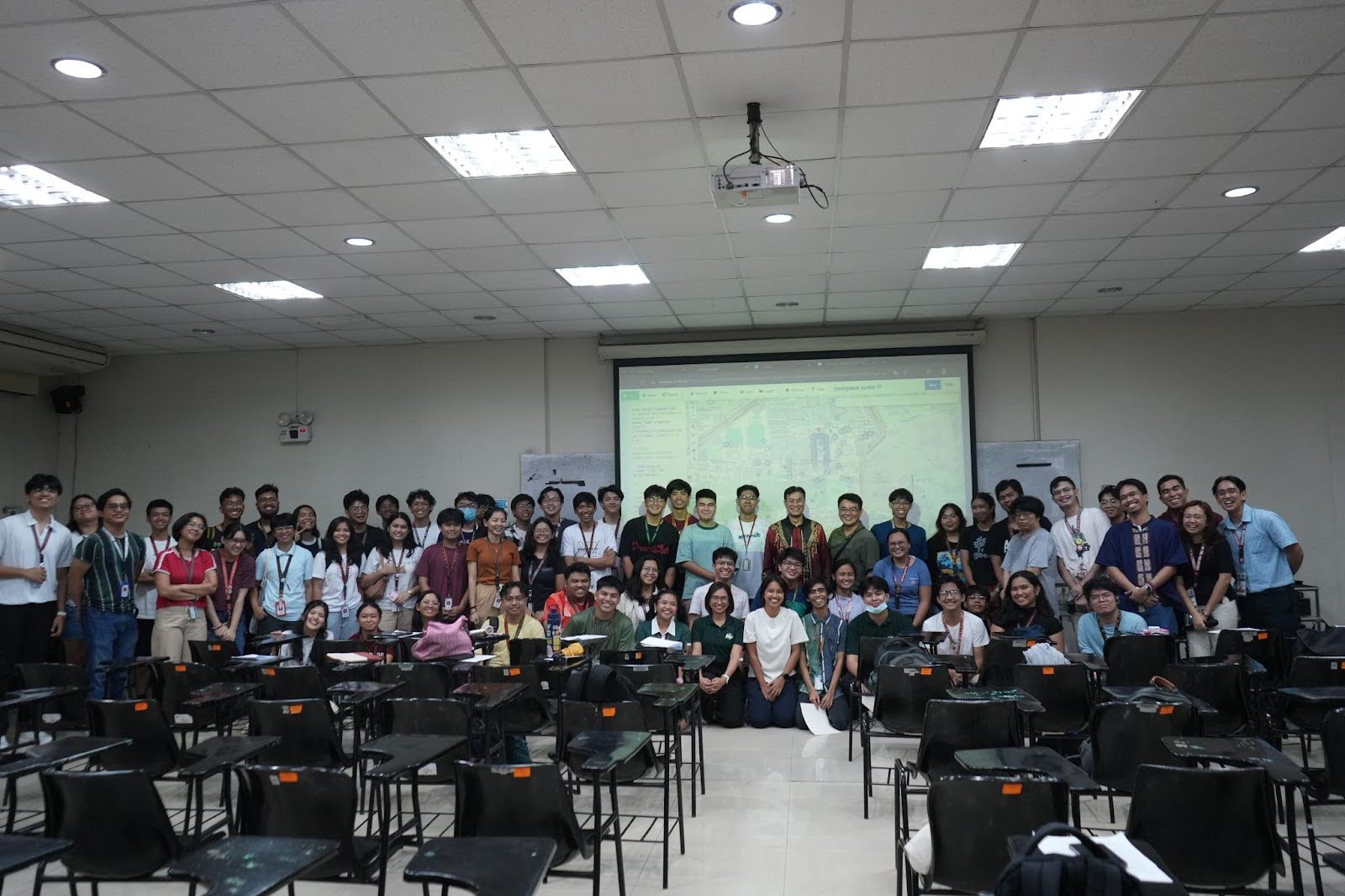
October 10, 2025 — The University of the Philippines Resilience Institute – Research and Creative Work Division (UPRI-RCW), in collaboration with NSTP Diliman Office and UPRI YouthMappers, successfully conducted “IS-KORD: Mapping Dengue, Empowering UP Community”, a community-based youth mapping workshop held at Melchor Hall, UP Diliman. The activity gathered students from various disciplines to enhance their understanding and application of Geographic Information System (GIS) technology for community-driven dengue prevention and risk mapping.
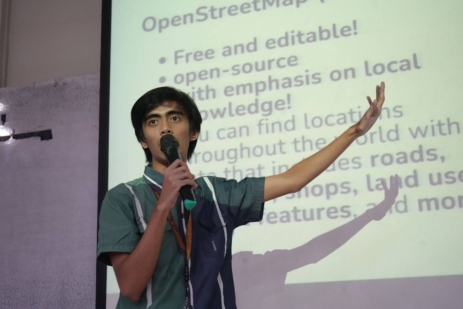
The initiative aimed to equip young participants with the technical and analytical skills to identify and map dengue-prone areas within the UP Diliman campus using OpenStreetMap (OSM) tools. Guided by facilitators, participants collaborated in groups to generate participatory risk maps highlighting potential mosquito breeding sites and health-risk zones, including drainage systems, water sources, and nearby health facilities.
According to UPRI-RCW, the workshop serves as both a capacity-building and community engagement initiative, fostering youth involvement in scientific data gathering, local health risk assessment, and proactive dengue prevention efforts. By linking participatory mapping with advocacy, the event underscored the vital role of youth-led action in enhancing community resilience and supporting evidence-based public health programs.
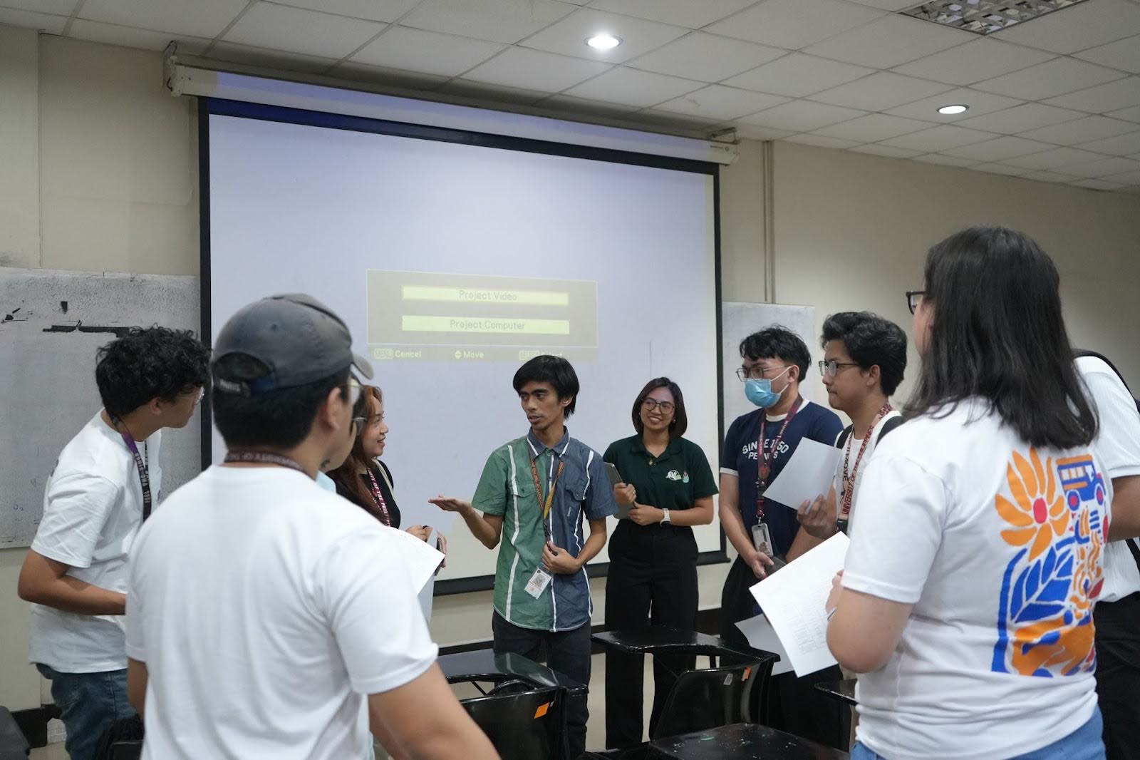
The event featured UPRI YouthMappers Mentor Feye Andal and President Rian Maculado, along with their team who also served as facilitators. It was made possible through the support of Mary Nicole Manlangit, Senior Research Associate for Research and Development of NSTP Diliman; Chief Science Research Specialist Dennis G. de la Torre; and students from the Department of Mechanical Engineering (DME).