Posted by: NOAH Hazards Team
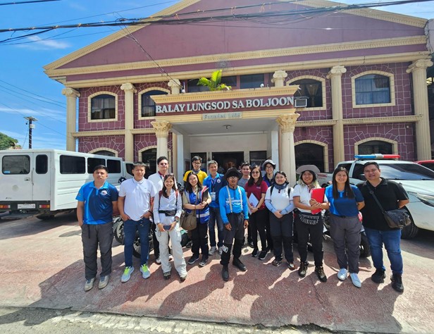
The UPRI-NOAH Center through the Philippine Academic Society for Climate and Disaster Resilience (PASCDR) partnered with the Ramon Aboitiz Foundation Inc. (RAFI), a non-government, non-profit organization that seeks to elevate the lives of Filipinos by promoting best practices in community development, in the assessment of natural hazards in Boljoon, Cebu. The initiative was through Project BRAVE, or the Natural Hazard Assessment for the Municipality of Boljoon, which aims to assess the susceptibility of the Municipality of Boljoon to hydrometeorological and geologic hazards. The goal is to empower the municipality with high-resolution, multi-scenario probabilistic hazard maps incorporating baseline and climate-adjusted data. These assessments will enable the local government to develop emergency response plans, implement proper mitigation measures, and enhance disaster preparedness of the community.
In line with this, the UPRI-NOAH researchers, with the assistance of the Municipal Disaster Risk Reduction and Management Office (MDRRMO) of Boljoon, conducted hazard validation from February 2 to 6, 2025. Three days were allocated for field investigation through ground or field assessment of the extent and occurrence of natural hazards in the affected areas.
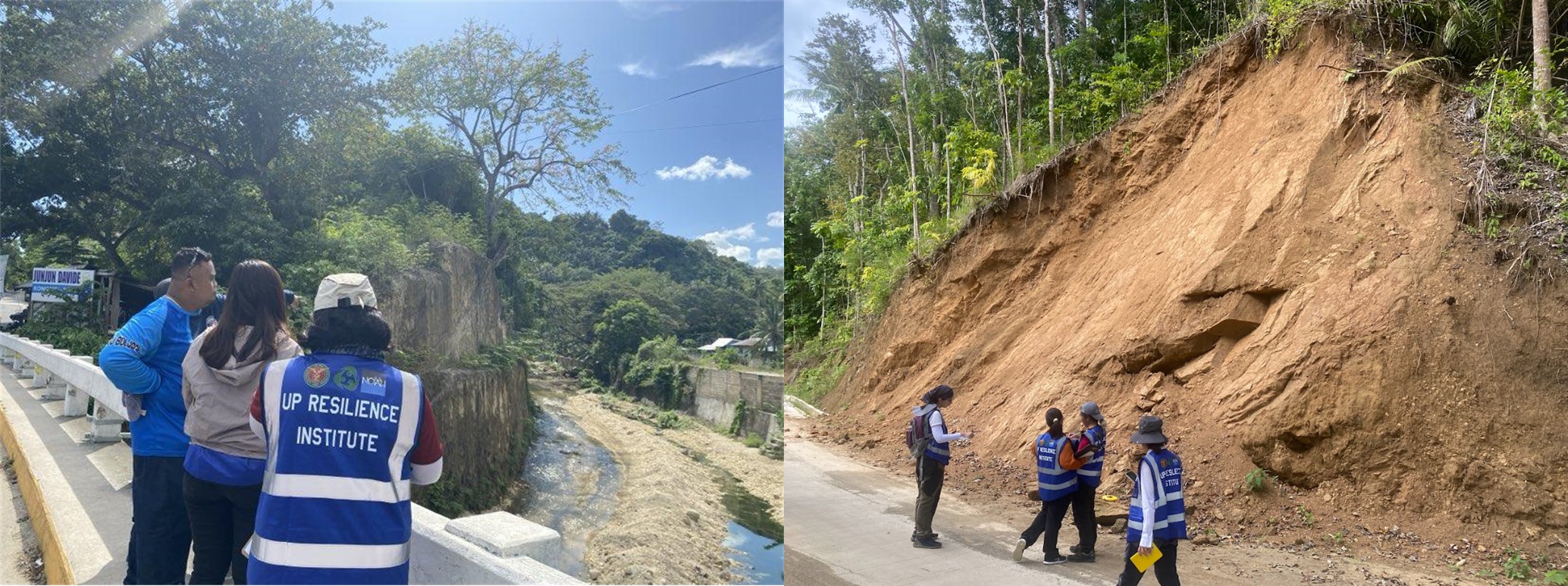
Hydrometeorological hazards, such as floods and storm surges, were validated through interviews and on-site investigations. Geologic hazards, such as landslides, ground rupture, sinkholes and land subsidence were investigated through geological fieldwork by identifying and sampling rock types, studying faults and lineaments and measuring orientation of rock layers. All observations and measurements will be used to create a detailed hazard map of the area.
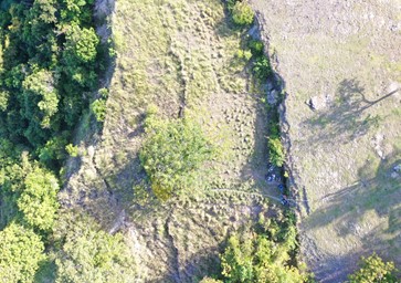
Drone surveys were also utilized to capture detailed images of geological features. This allowed the team to study large or remote areas such as the ground rupture in Brgy. Granada which was identified landslide prone area. This is done to further identify structures such as fissuring and rupture and to be able to map the extent of these features.
On the last day, the team held an exit interview with the MDRRMO of Boljoon and presented preliminary findings based on the team’s three-day validation. These findings included the confirmation of flooding and storm surges in a number of critical facilities, and the occurrence of landslides, sinkholes and ground ruptures in barangays found in the western part of the Municipality. The data gathered will be used to update the disaster timeline and refine the hazard models and maps of Boljoon. The hazard mapping of UPRI-NOAH Center will help in identifying areas prone to specific hazards and visually represent the intensity and locations of potential hazards in Boljoon. This will improve the disaster preparedness and response of the municipality and enable decision makers to act and implement focused mitigation strategies.