The University of the Philippines (UP), through the UP Resilience Institute (UPRI) and the UP Department of Industrial Engineering and Operations Research, proudly supported the global OpenStreetMap (OSM) community as partners of State of the Map 2025 (SotM). This annual international conference brings together mappers, researchers, and advocates of open geospatial data. Held in Manila, Philippines, the event marked the first time SotM was hosted in Southeast Asia, showcasing the country’s growing leadership in open mapping, disaster resilience, and community collaboration.
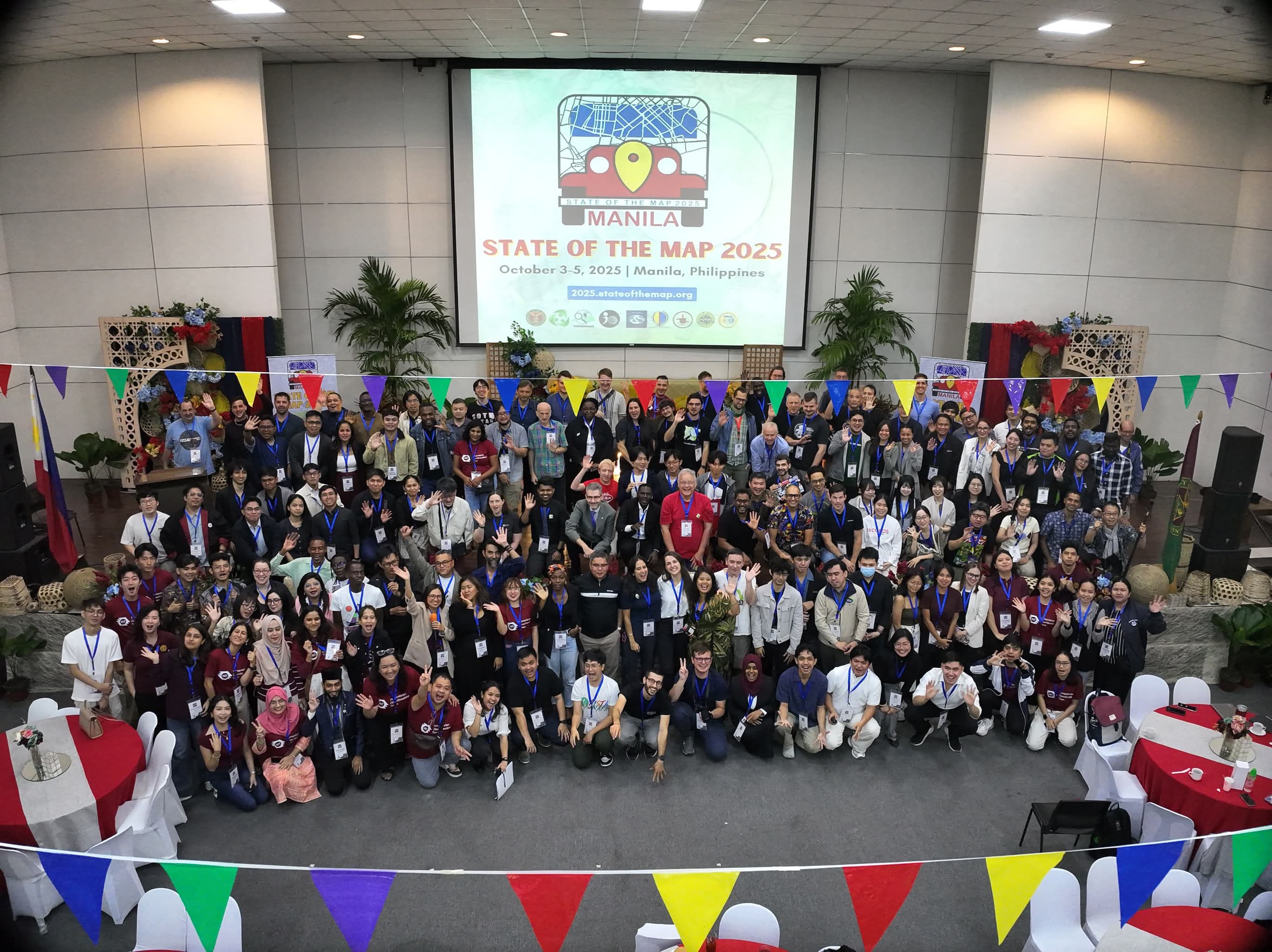
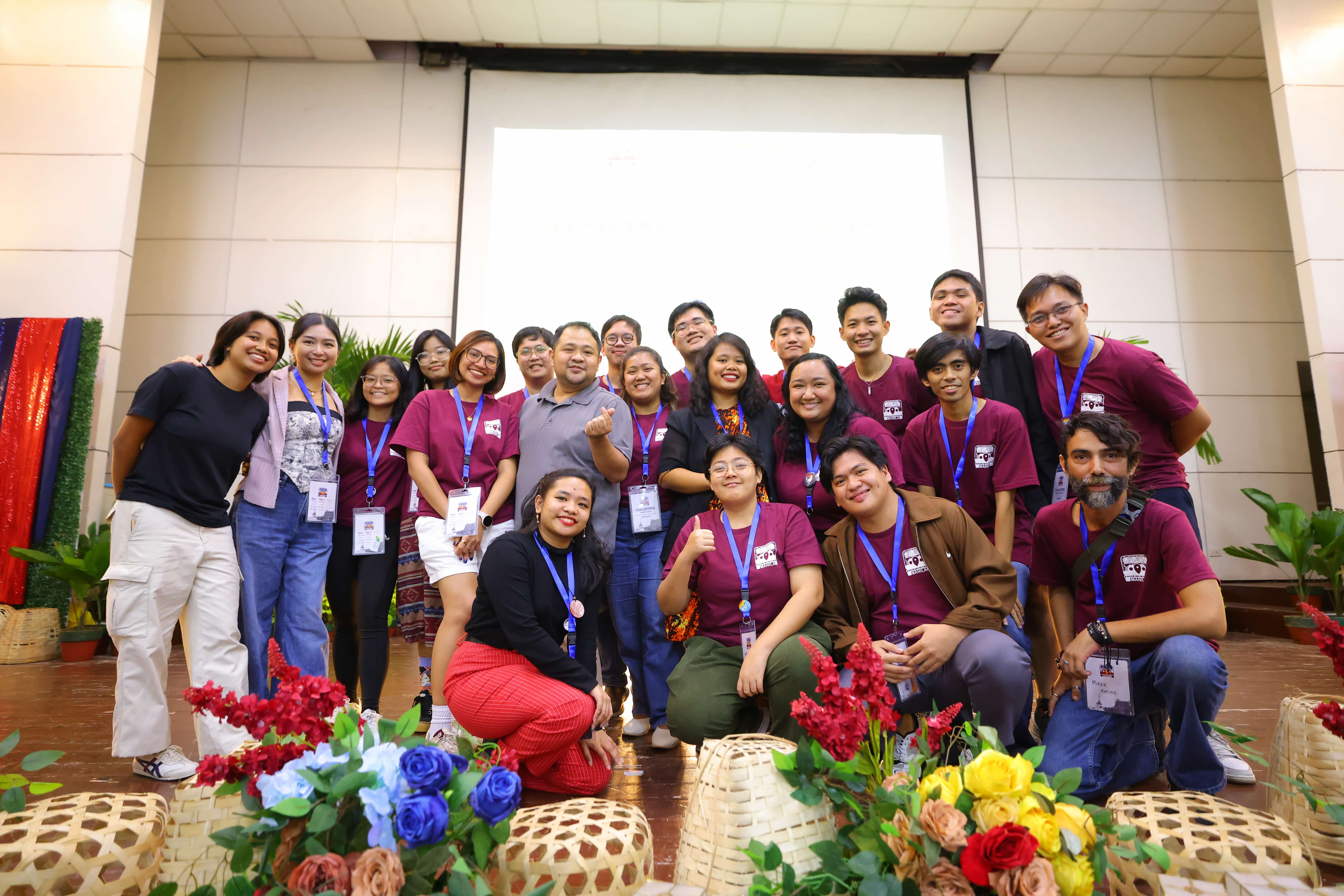
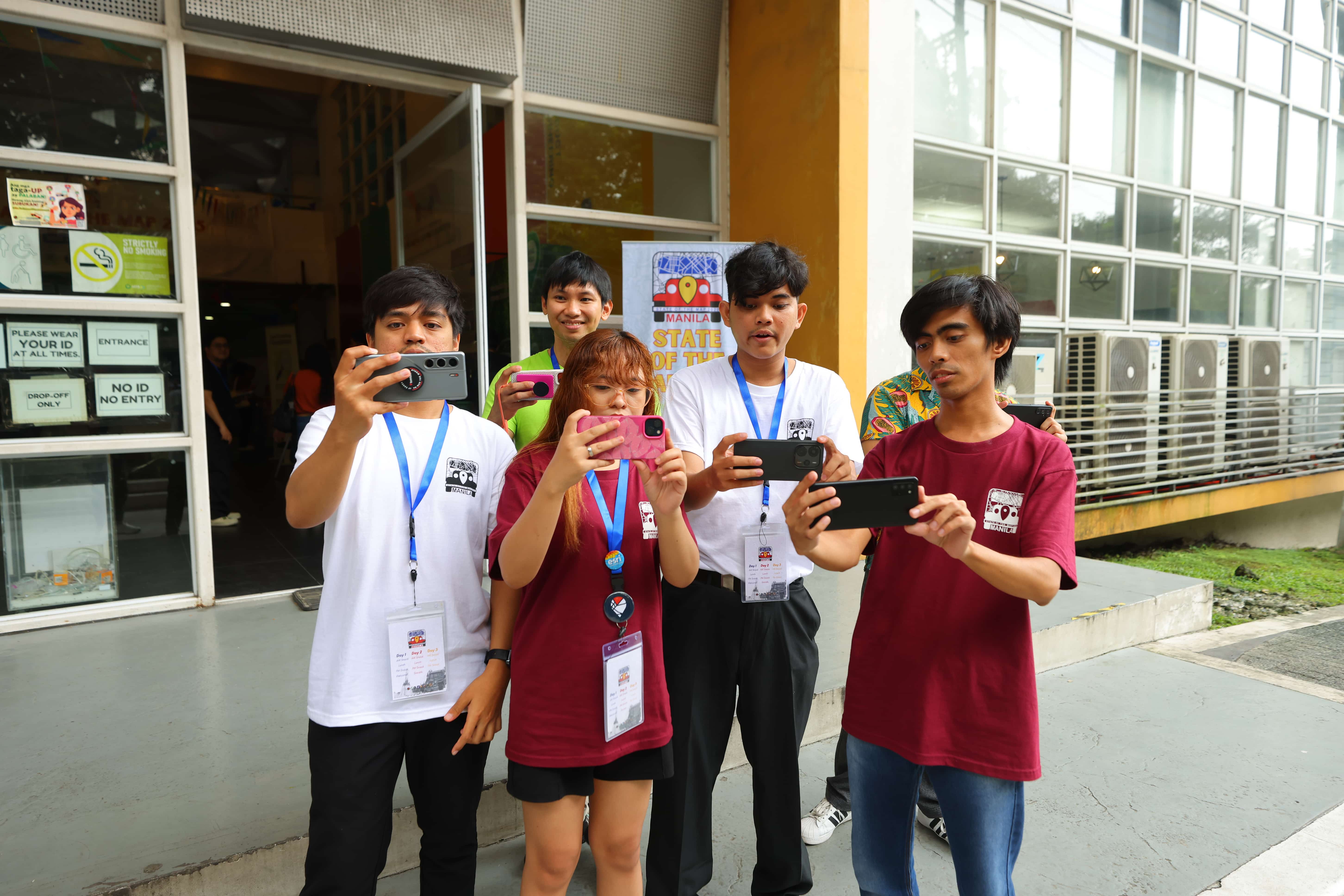
For three days, the international OSM community converged in the University of the Philippines Diliman in Quezon City, Metro Manila, and online, to share innovations, best practices, and research on open mapping, community resilience, and data for sustainable development through OSM. As a university-based partner, UPRI takes pride in contributing to the local organizing committee through the UPRI YouthMappers, who, together with the OpenStreetMap Philippines community, served as the primary volunteer group responsible for the logistics and on-the-ground implementation of the conference.
Long before Project NOAH became part of the University, open data had already been an integral component of its work. NOAH was among the early champions of using OpenStreetMap for disaster preparedness, notably in 2017 when the ISAIAH (Integrated Scenario-based Assessment of Impacts and Hazards) project was launched, which mapped 17 provinces across the Philippines to support hazard assessment and community resilience initiatives. This enduring advocacy for open data and participatory mapping continues to guide UPRI’s mission today.
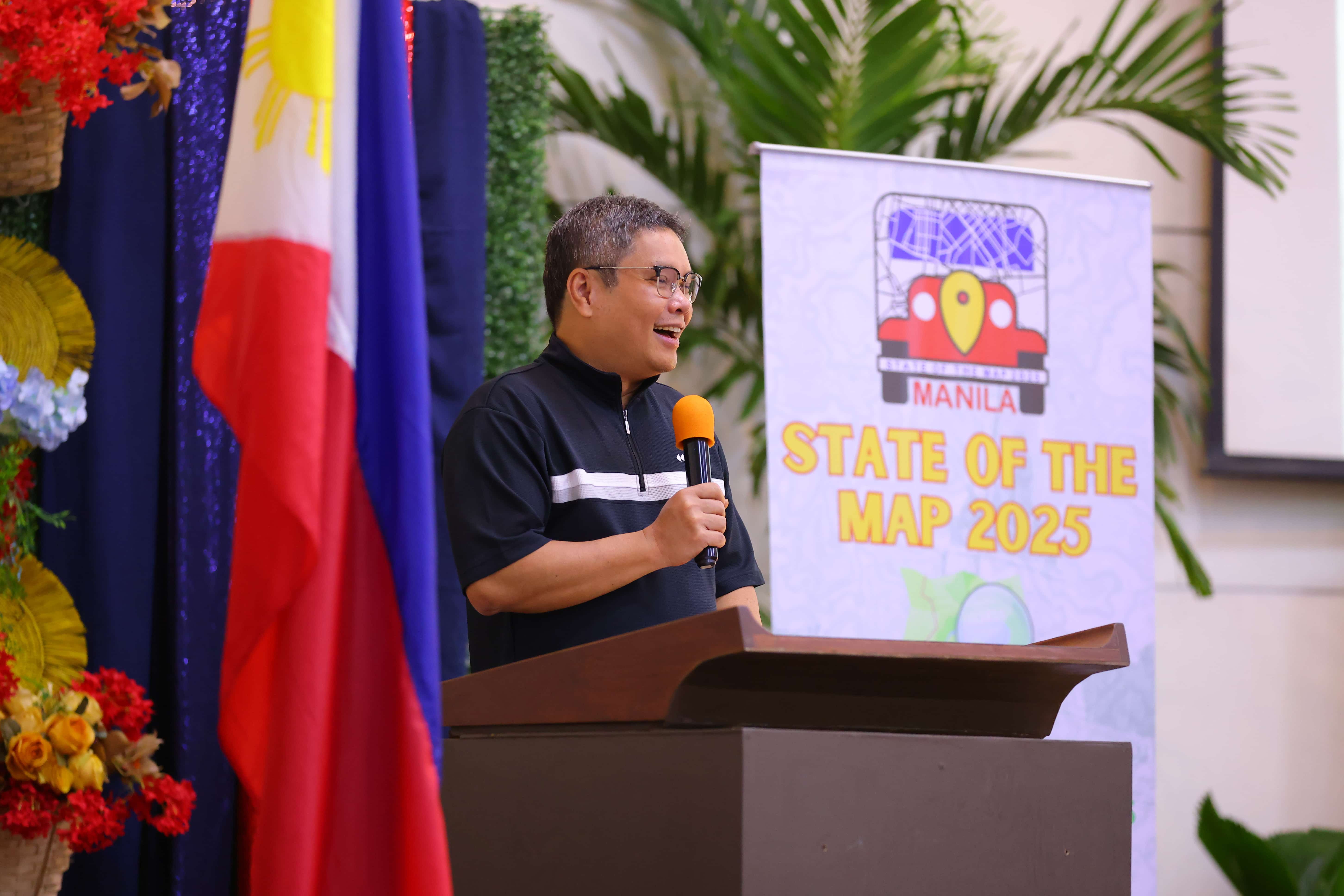
This commitment to open and collaborative science was echoed in the remarks of UP President Angelo Jimenez, who reflected on the true value of mapping, noting that maps are not only geographic tools but instruments of resilience, solidarity, and hope. He affirmed UP’s long-standing commitment to open geospatial initiatives for disaster risk reduction and public service, citing UP NOAH and YouthMappers as examples of how students and researchers serve communities through mapping. President Jimenez emphasized that education and research must extend beyond classrooms to empower communities and democratize access to knowledge, commending the OSM community for embodying global citizenship and showing how resilience is built by volunteers who care enough to make a difference.
Following this, Dr. Alfredo Mahar Lagmay, Executive Director of UPRI, welcomed participants by recalling the transformative role of volunteer mappers during Supertyphoon Haiyan (locally known as Yolanda). He shared how open and participatory mapping helped responders and local governments navigate the aftermath, emphasizing that the lessons from Haiyan continue to shape the country’s resilience programs. Dr. Lagmay also highlighted how sustained collaborations between scientists, volunteers, and institutions like OSM and UPRI have made open data an indispensable part of disaster preparedness in the Philippines.
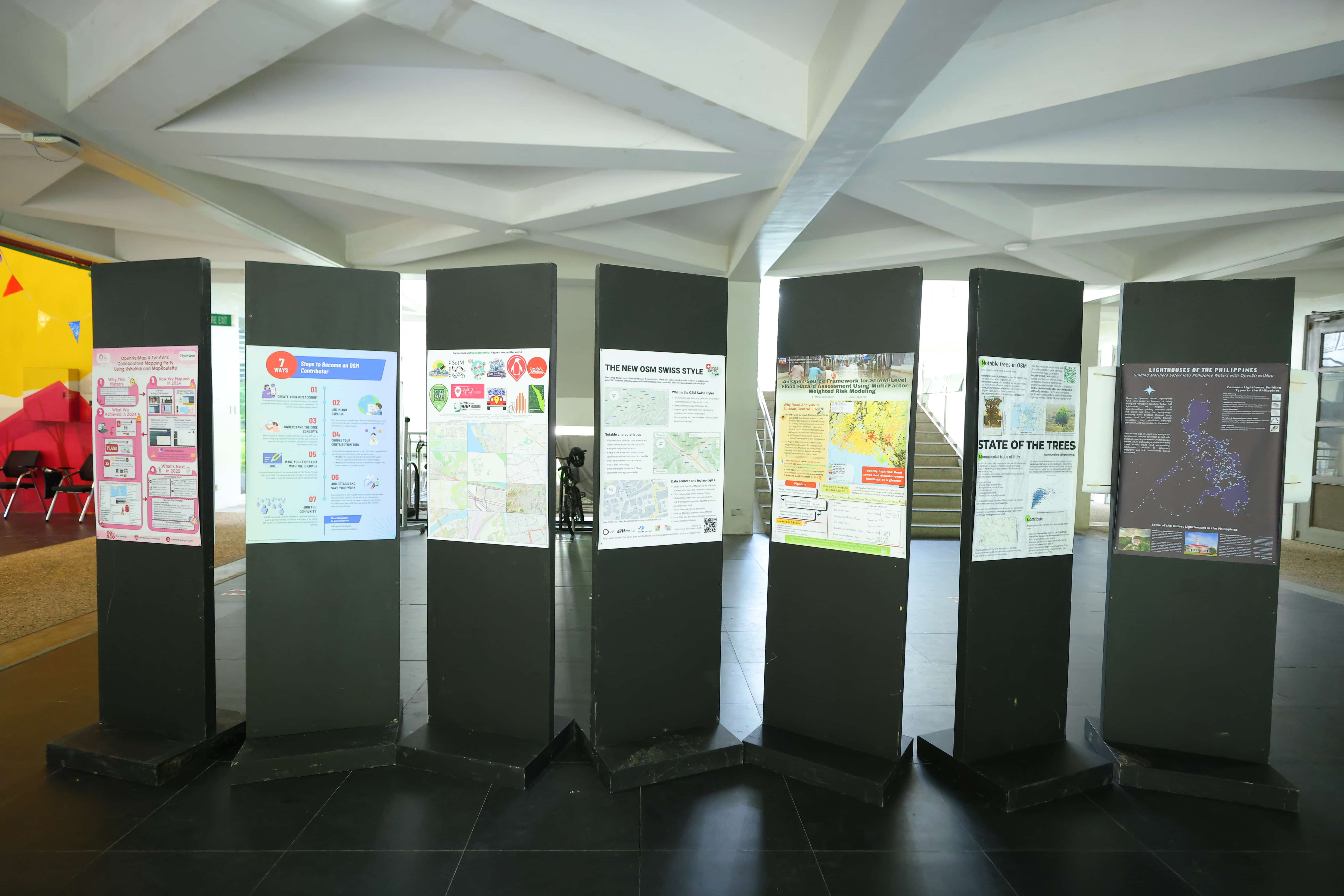
The conference featured a diverse program format that included general tracks, academic tracks, poster sessions, and lightning talks. The academic track included two Filipino educators — Ms. Ony Martinez from the UP Department of Geography and Dr. Briane Samson from the De La Salle University (DLSU) – Dr. Andrew L. Tan Data Science Institute, who shared their expertise on open mapping and spatial analysis. Both served as reviewers for the academic track submissions and contributed to the preparation of the SotM 2025 Academic Proceedings, which will be made publicly available soon. The conference also featured Birds of a Feather (BoF) sessions, which are informal gatherings where anyone could sign up on the board to share a project, research, or idea with fellow mappers. These sessions encouraged open exchange and spontaneous collaboration, reinforcing the community-driven ethos of OSM. Additionally, posters were also displayed throughout the venue, showcasing local and global initiatives that harness OSM data for social good.
Beyond the formal program, participants joined interactive workshops held in various formats, including panel discussions, focus group discussions, and field mapping activities, which strengthened cross-sector partnerships and highlighted the practical applications of OSM data in different local and regional contexts. Among these was a workshop hosted by the UPRI YouthMappers, which introduced participants to Mapillary and KartaView for collecting and analyzing street-level imagery, showcasing how open tools can complement mapping efforts and enhance local data quality in OSM.
The conference also fostered a strong sense of community through its social events. It opened with a welcome party that brought together participants in a festive Filipino atmosphere, featuring cultural performances by Kontra-GaPi and indie band Goon Lagoon, and celebrating the 15th anniversary of the Humanitarian OpenStreetMap Team (HOT). Later in the conference, the SotM socials, held in Club Hype in Tomas Morato, Quezon City, provided a more relaxed setting for continued networking and community bonding. Jeepneys — an iconic symbol of Filipino resilience and creativity — shuttled participants to the venue, adding a distinct local flair to the global gathering.
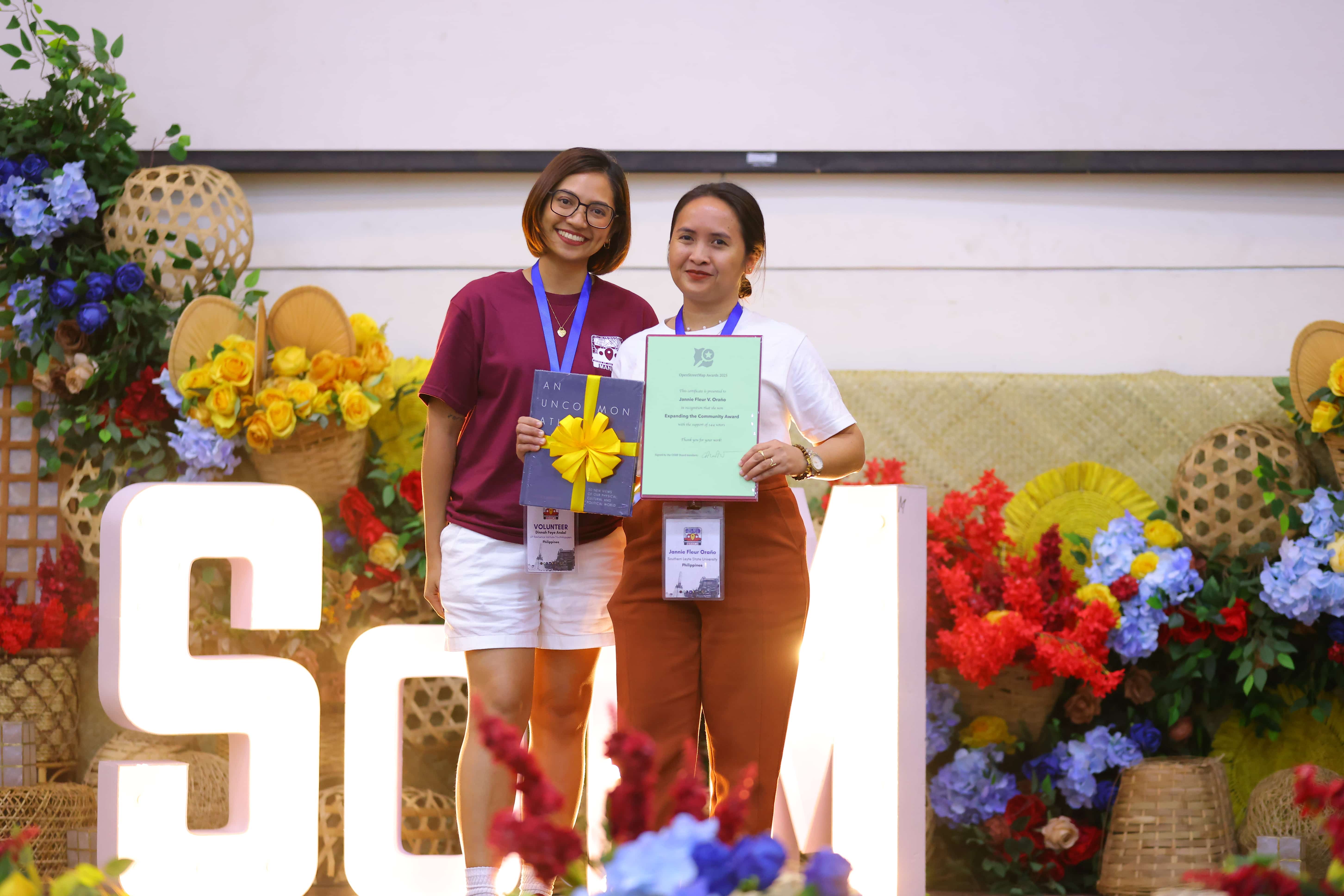
On the final day, the conference concluded with the SotM Awards Ceremony, recognizing outstanding contributions across several categories, including Core Systems, Innovation, Influential Writing, Greatness in Mapping, Expanding the Community, Team Achievement, and the Ulf Möller Memorial Award. The UPRI YouthMappers were nominated for the Team Achievement Award, garnering an impressive 101 community votes, a testament to their regional impact and continued advocacy for open mapping for resilience. Meanwhile, a Filipina nominee, Miss Jannie Fleur Oraño of the Southern Leyte State University YouthMappers, won the Expanding the Community Award, with 144 community votes.
During the closing session, the local organizing team extended heartfelt thanks to all participants, volunteers, suppliers, and partners whose collective effort made the conference possible. As the gathering in Manila came to an end, anticipation built for the next SotM, which will be hosted in Paris, France, in August 2026, continuing the tradition of bringing together the global mapping community to advance open geospatial innovation.
UPRI extends its heartfelt appreciation to the OpenStreetMap Foundation, the local organizing committee, State of the Map Working Group, venue partners, sponsors, and volunteers who made SotM 2025 possible. This milestone reaffirms the Philippines’ role as a regional leader in open mapping and demonstrates the potential of academic-community partnerships in building resilient, data-driven societies.