By: Janiella Sandoval
To reaffirm their commitment to advancing local climate and disaster resilience efforts, the municipalities of Sabtang and Uyugan, Batanes flew to Manila to attend an additional Geographic Information System (GIS) and Climate and Disaster Risk Assessment (CDRA) Training conducted by University of the Philippines Resilience Institute (UP RI) under the project “Bridging Academic Researchers and Vulnerable Island Communities in the Philippines: Enhancing the Climate and Disaster Risk Management Capacities of Municipalities in Batanes,” also known as APN-Batanes Project .
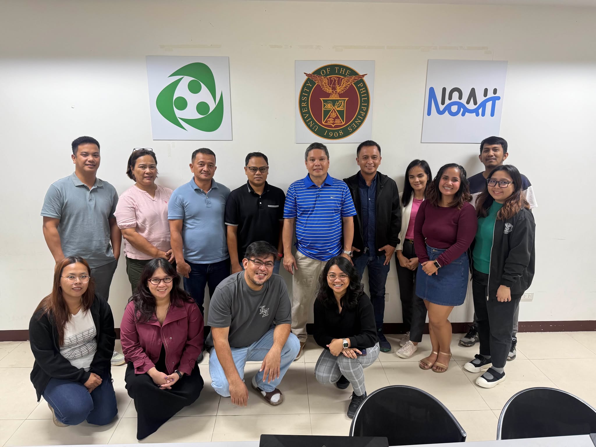
Training participants from the Municipalities of Sabtang and Uyugan together with the UP RI facilitators and Executive Director, Dr. Mahar Lagmay
Held on July 14–18, 2025, at the UP RI Office in Quezon City, the training, conducted upon the request of the municipalities of Uyugan and Sabtang, offered an opportunity for local government representatives who were unable to join the first session in Batanes last May 2026 to complete the foundational “Learn Phase” of the APN–Batanes Project. Participants included representatives from the Municipal Engineering Office, Mayor’s Office, Municipal Planning and Development Office, Municipal Assessor’s Office, and Municipal Agriculture Office of the Municipality of Uyugan, as well as the Municipal Planning and Development Office and the Tourism Section of the Municipality of Sabtang. This follow-up session reinforced the project’s commitment to inclusivity, ensuring that all six municipalities of Batanes are equipped with the fundamental skills and tools necessary to strengthen evidence-based planning and decision-making in local governance.
Strengthening GIS Capacity Across All Batanes Municipalities
The first three days of the training introduced participants to key GIS concepts, tools, and applications for climate and disaster risk assessment. The sessions covered topics such as spatial data types, map projections, georeferencing, and spatial data collection using Global Navigation Satellite System (GNSS) devices. Participants also learned to process, manage, and visualize data using Quantum GIS (QGIS) software. Hands-on exercises allowed participants to create their own map layouts, reinforcing the practical application of GIS in local planning. The training also featured discussions on land use mapping and exposure unit extraction, both critical components in conducting the CDRA.

Forester Janiella Sandoval of UP RI presents the different map elements as part of the GIS training sessions.
Deepening Understanding Through CDRA Training
Following the GIS component of the training, participants continued with a two-day CDRA training. The sessions guided participants through the step-by-step process of conducting a CDRA, from identifying climate hazards and analyzing exposure, assessing sensitivity and adaptive capacity, and computing for risk. Facilitators from the UP RI provided case examples and practical exercises, allowing participants to apply GIS outputs in developing risk maps and interpreting results for integration into their local plans.

Mr. Julius Obrique of UP RI guides the training participants during a hands-on exercise on the use of various devices for GIS applications.
Building Resilience Through Data-Driven Local Governance
Participants expressed their appreciation for the training, emphasizing how these tools can enhance key local plans such as the Local Climate Change Action Plan (LCCAP), Municipal Water Supply and Sanitation Master Plan (MWSSMP), and Local Disaster Risk Reduction and Management Plan (LDRRMP). They also identified potential applications in tax mapping, road network planning, cultural mapping, and hazard visualization to inform policy and development priorities.
The July 2026 training marked the completion of the Learn Phase of the APN–Batanes Project, ensuring that all municipal governments of Batanes have built foundational GIS and CDRA capacities. By bridging academic expertise with local knowledge, the project continues to empower island communities to interpret data, understand risks, and integrate climate resilience into everyday governance.
Through sustained learning and collaboration, the UP RI and its local partners reaffirm their shared goal—to build a more resilient Batanes, where science and community action converge for a safer, adaptive, and sustainable future.