By: Ella Danielle C. Santiaguel
As part of the ongoing efforts to strengthen the planning capacity of the Municipality of Balaoan, in partnership with the University of the Philippines Resilience Institute (UP RI), the “Spatial Strategies and Proposed Land Use Mapping Workshop” was held from May 6 to 8, 2025. Building on the outputs of previous sessions which clarified the municipal vision, identified key development thrusts, and assessed gaps relative to the Balaoanian’s long-term aspirations, this workshop shifted toward a more technical focus. It aimed to equip participants with a deeper understanding of LGU’s current conditions and spatial opportunities, while collaboratively identifying development strategies and generating a proposed land use map. These outputs will serve as critical components in finalizing the municipality’s Comprehensive Land Use Plan (CLUP), ensuring that future growth aligns with the shared vision of a resilient and inclusive Balaoan.
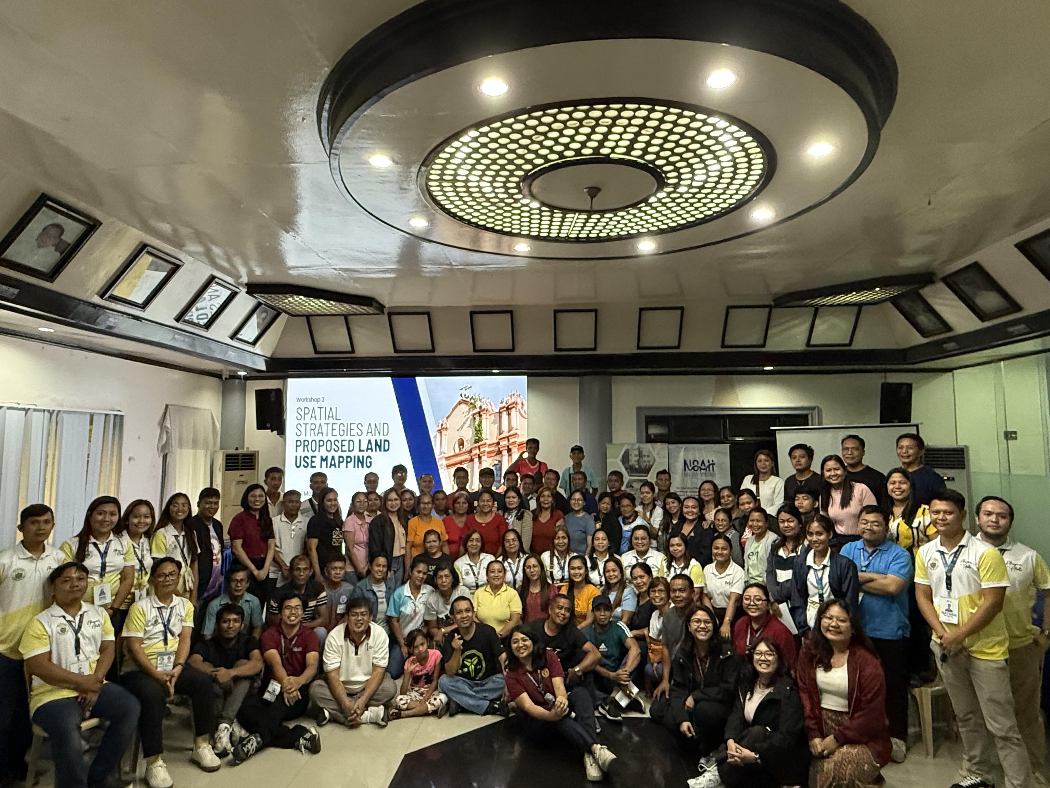 Municipality of Balaoan participants, along with the UP RI – NOAH Center staff
Day 1: Laying the Analytical Groundwork for Spatial Planning
The workshop opened with a comprehensive review of the revised municipal vision, led by Ms. April Dawn F. Tegelan, a Senior Science Research Specialist at UP RI. This session reaffirmed the desired development path of Balaoanians and laid the groundwork for aligning all spatial strategies and land use decisions to this shared vision.
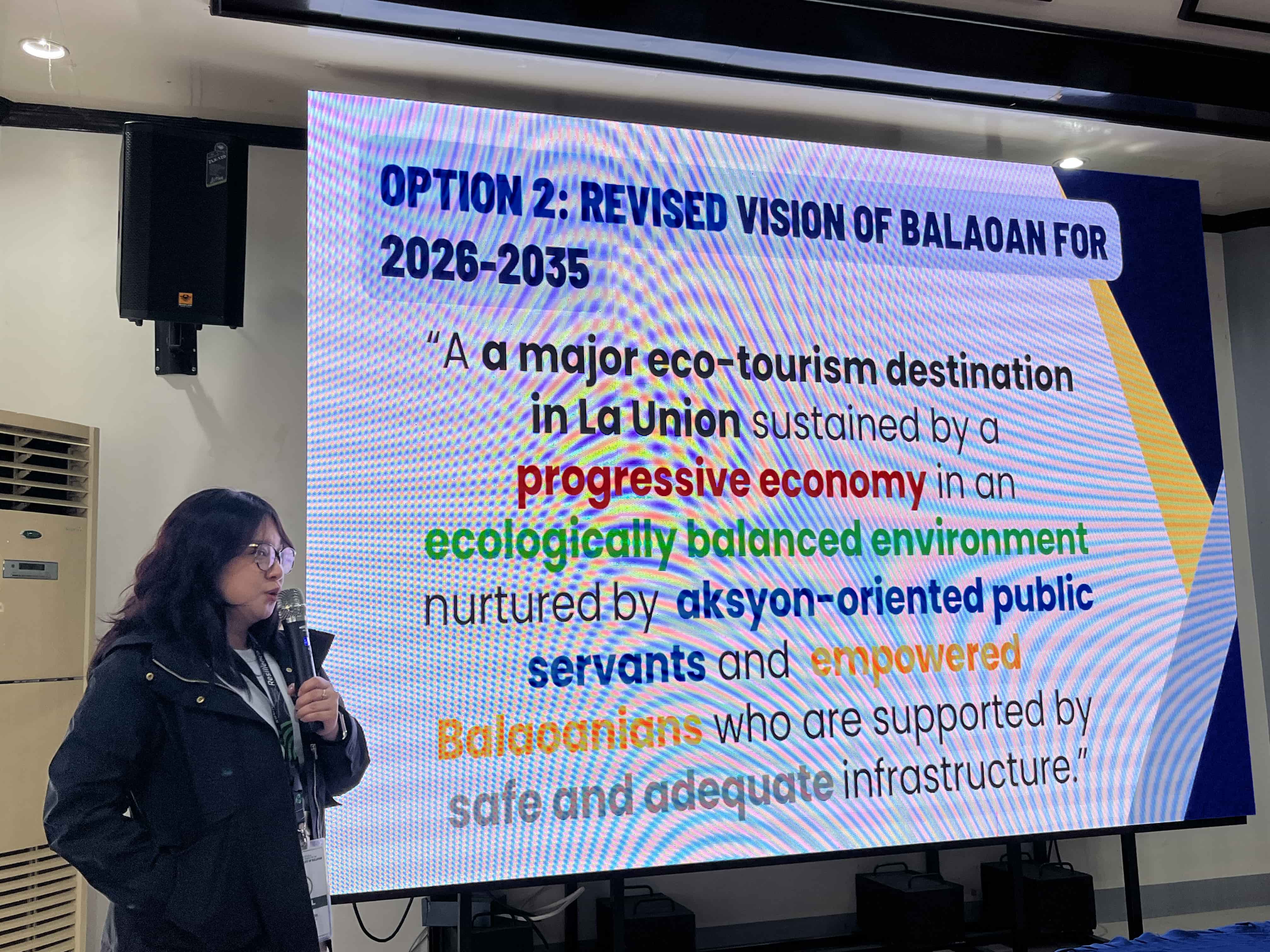 Ms. April Dawn F. Tegelan discussing the revised vision of the Municipality of Balaoan
Following this, the UP RI Sectoral Coordinators, composed of For. Rysch Nae S. Subijano, For. Janiella A. Sandoval, Ms. Ella Danielle C. Santiaguel, Ms. Marie Claire P. Mandar, and Engr. Kristian Audri D. Gabriel, facilitated the presentation and validation of the Vision Reality Gap (VRG) – Goals, Objectives, Targets and Strategies (GOTS) and the Strengths, Weaknesses, Opportunities, and Challenges (SWOC) matrices for each development sector. These activities served as a reflective checkpoint, enabling participants to assess the internal and external factors that may affect Balaoan’s development trajectory.
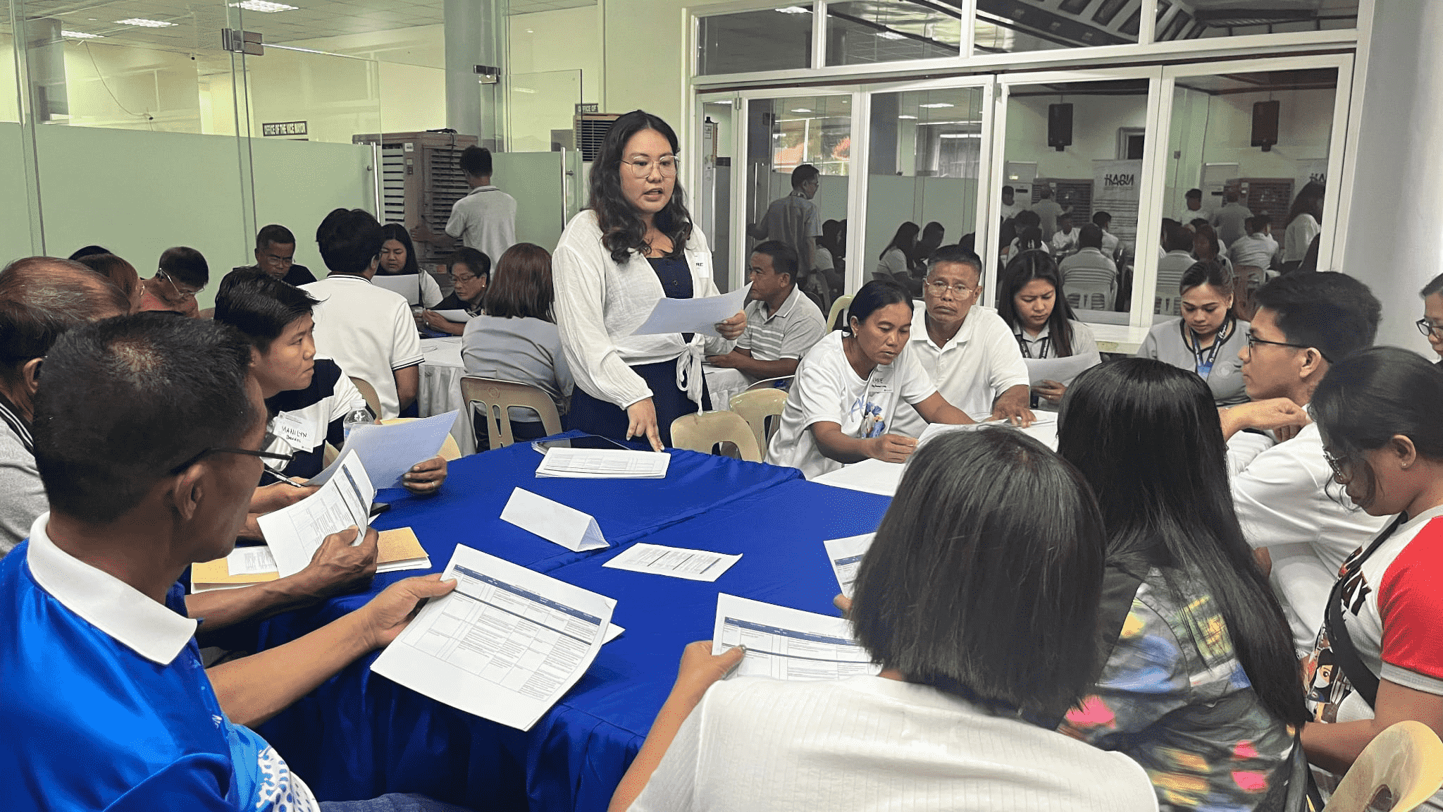 Ms. Marie Claire P. Mandar discussing the revised VRG-GOTS and SWOC to workshop participants
Dr. Mario Delos Reyes, a former dean of the UP School of Urban and Regional Planning (SURP) and the President of the Centre for Neighbourhood Studies Philippines (CeNS Philippines), then led a key lecture on mainstreaming climate change adaptation and disaster risk reduction (CCA-DRR) into local development plans. This was followed by EnP. Arge Louise Joy S. Esquivel, a Supervising Science Research Specialist at UP RI, where she presented the results of the Climate and Disaster Risk Assessment (CDRA) of the Municipality by facilitating the activity on determining risk-sensitive policy interventions. The session provided stakeholders with a detailed understanding of Balaoan’s risk score per hazard across its 36 barangays. Participants validated the assessment findings and identified priority areas for intervention.
The day concluded with sectoral coordinators presenting findings from the situational analysis and land supply and demand assessments, giving participants a clearer understanding of the municipality’s baseline condition in terms of population, land availability, and development pressures.
Day 2: Translating Vision into Spatial Strategies and Urban Patterns
With a strong analytical foundation established, the second day of the workshop shifted towards envisioning spatial strategies. Ms. Maire Claire P. Mandar, a Supervising Researcher at UP RI, delivered an insightful lecture on development thrusts and spatial strategies, emphasizing how these frameworks shape the municipality’s physical growth and land use patterns. Through a consensus-building activity, stakeholders collectively identified agricultural tourism as a spatial strategy and the core direction for Balaoan’s development.
The spatial discussion deepened with a lecture by Ms. Ella Danielle C. Santiaguel, a Senior Research Associate at UP RI, who introduced participants to various urban forms and their implications for municipal development. The session encouraged participants to critically examine different physical layouts and settlement patterns. As part of the activity, participants were grouped and assigned specific urban forms, which they visualized by creating concept maps that reimagined Balaoan according to their assigned model. To arrive at a unified direction, participants evaluated each urban form concept map using a Goal Achievement Matrix (GAM)—a decision-making tool that aligns options with the municipality’s vision and goals. After deliberation and voting, the stakeholders reached a consensus in favor of the Multiple-Nuclei Model as the most suitable urban form to guide Balaoan’s spatial development.
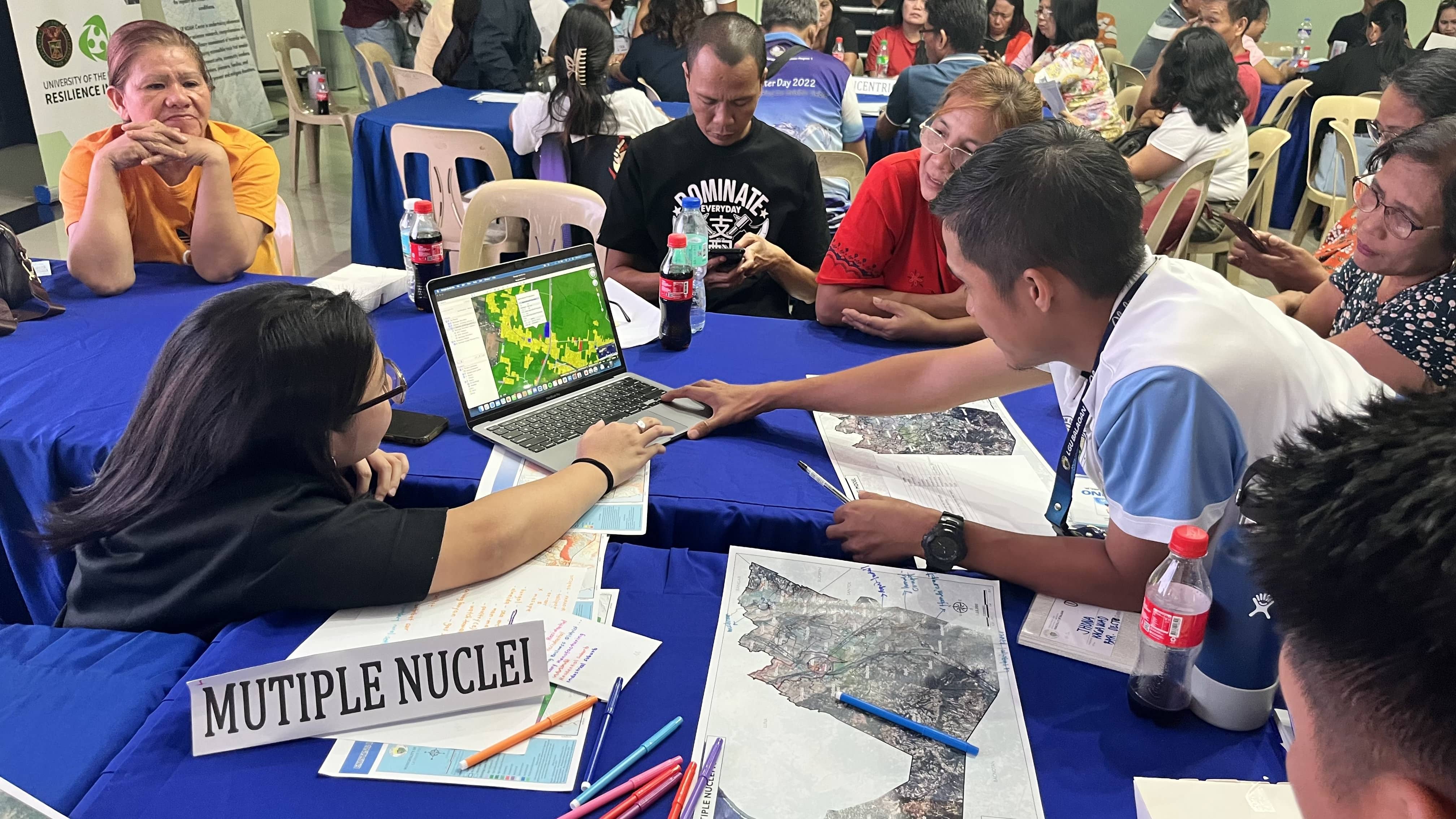 Ms. Ella Danielle C. Santiaguel facilitating the discussion of the group assigned to the Multiple Nuclei Model as they create their concept map
Day 3: From Policy to Practice—Land Use Planning in Action
The final day of the workshop focused on operationalizing the spatial concepts through land use planning tools and policy instruments. It began with a lecture by April Dawn F. Tegelan (UP RI) on land use policies and their role in translating spatial strategies into actionable plans. Participants were grouped according to four land use policy areas—settlement, production, protection, and infrastructure—and tasked to formulate relevant policies for their assigned themes. Each group then presented their proposed policies, fostering dialogue and shared understanding among stakeholders on how best to guide Balaoan’s future development.
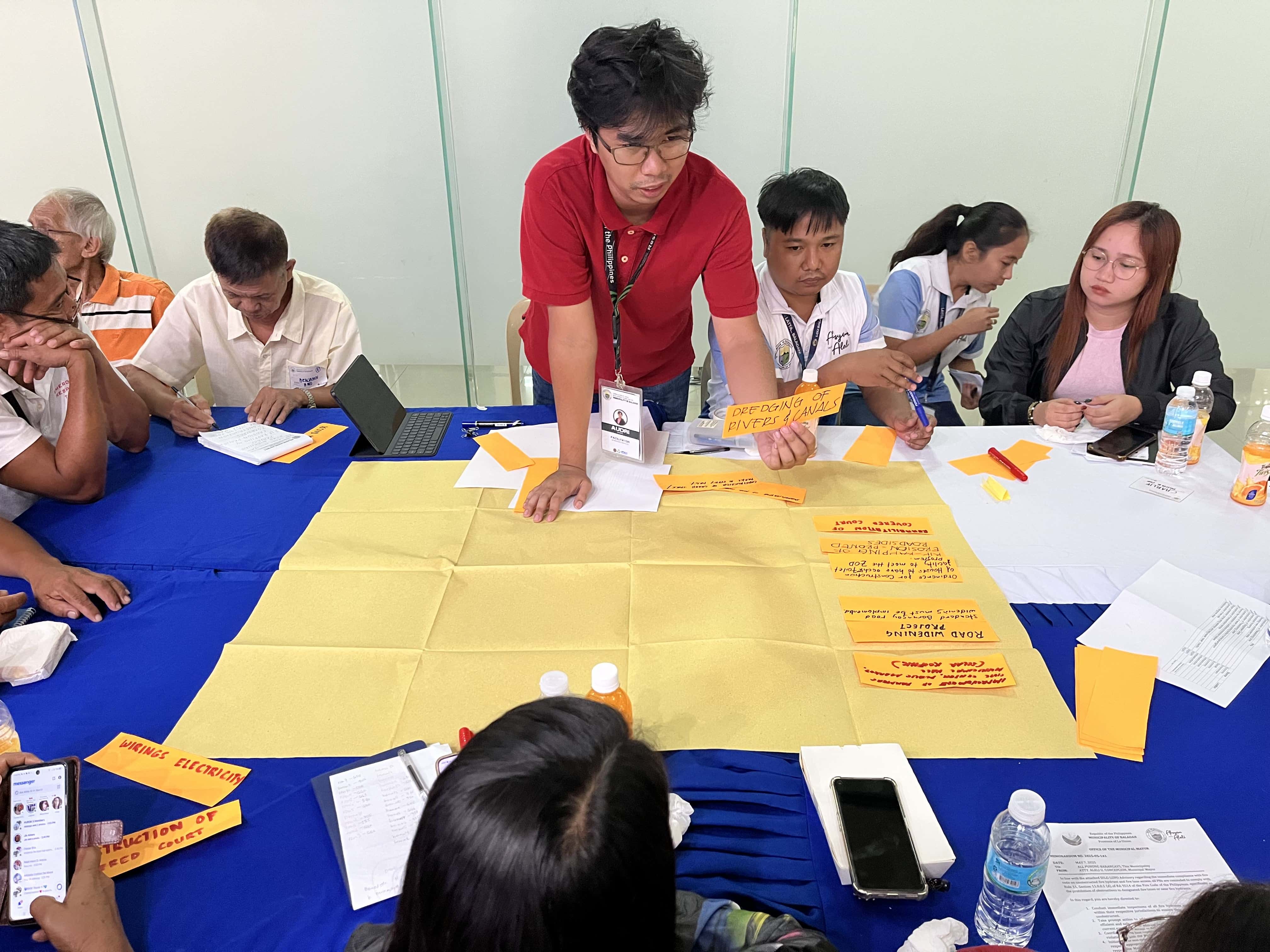 Engr. Kristian Audri Gabriel facilitating the formulation of land use policies for infrastructure areas
Next, the group reconvened for a session on Key Strategic Programs, facilitated by UP RI Sectoral Coordinators. In this activity, participants reviewed the projects, programs and activities that were outputs from the previous workshops and local plans. Participants were tasked to determine whether each Project, Program, and Activity (PPAs) required a spatial component and proposed potential locations within the municipality where these could be situated. This step served as a crucial bridge to the subsequent land use mapping activity, ensuring that development interventions are spatially grounded and strategically placed.
One of the most engaging parts of the entire workshop was designing the Proposed Land Use Scheme, led by EnP. Jerico Mendoza, a Chief Science Research Specialist at UP RI. This hands-on activity allowed participants to develop a proposed land use map that integrates all the spatial and policy inputs gathered over the three days. Considerations were also presented in this activity such as non-buildable areas, hazard-prone areas, accessibility, and population needs. This allowed participants to apply risk-sensitive and evidence-based planning principles, ensuring that land use decisions align with both the municipality’s development vision and safety requirements.
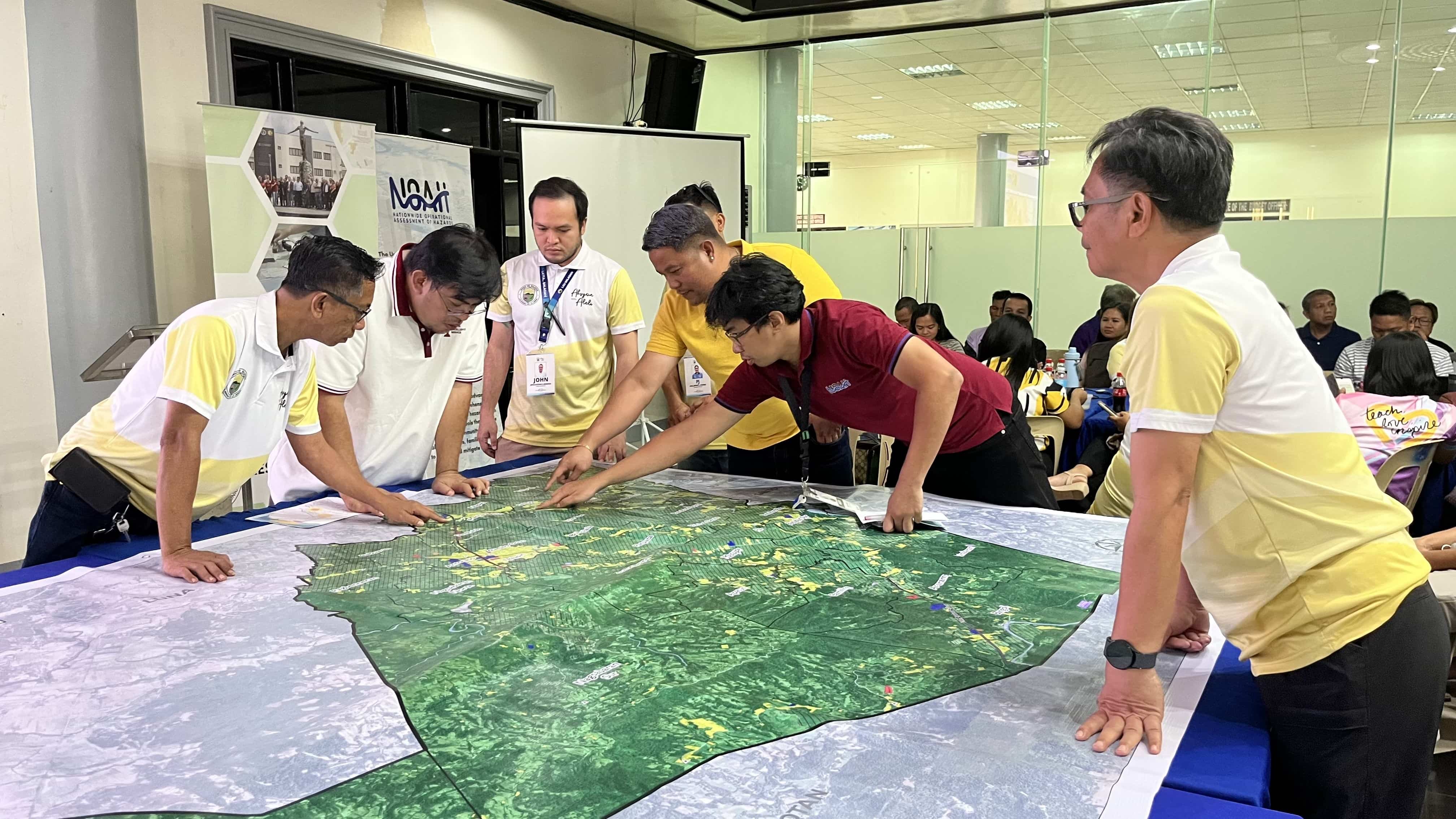 EnP. Jerico E. Mendoza and Engr. Kristian Audri D. Gabriel, together with sectoral office heads of Balaoan, identifying the spatial locations of proposed projects in the municipality
Finally, Dr. Likha Minimo, Knowledge Sharing Director at UP RI, facilitated the lecture and accomplishment of the Visual Preference Survey, a participatory tool to gather design preferences and perceptions from stakeholders. This activity provided valuable insights into the community’s aspirations regarding the visual character of public spaces, infrastructure, and urban form—ensuring that the plan reflects not only technical analyses but also local values and identity.
Conclusion: Moving Toward a Shared Spatial Vision
The three-day workshop marked a pivotal stage in Balaoan’s planning journey, as stakeholders collectively translated the municipality’s development vision into spatial strategies and land use proposals. Through a series of technical inputs, participatory discussions, and collaborative mapping exercises, participants not only deepened their understanding of local conditions but also played an active role in shaping how Balaoan will grow. The insights and outputs generated during this workshop will serve as key inputs to the CLUP, anchoring it in both evidence and community values. As the planning process advances, the shared commitment demonstrated in this workshop lays a strong foundation for a more resilient, inclusive, and future-ready Balaoan.