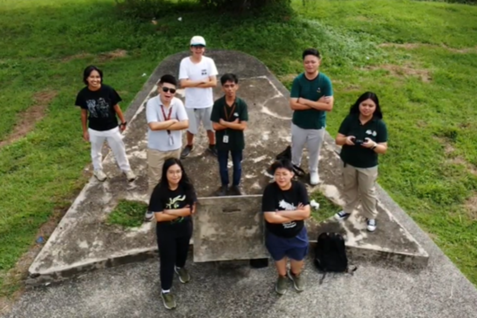
On November 22, 2025, the UP Resilience Institute YouthMappers (UPRIYM) conducted a one-day workshop introducing its members and applicants to the role of drones in……
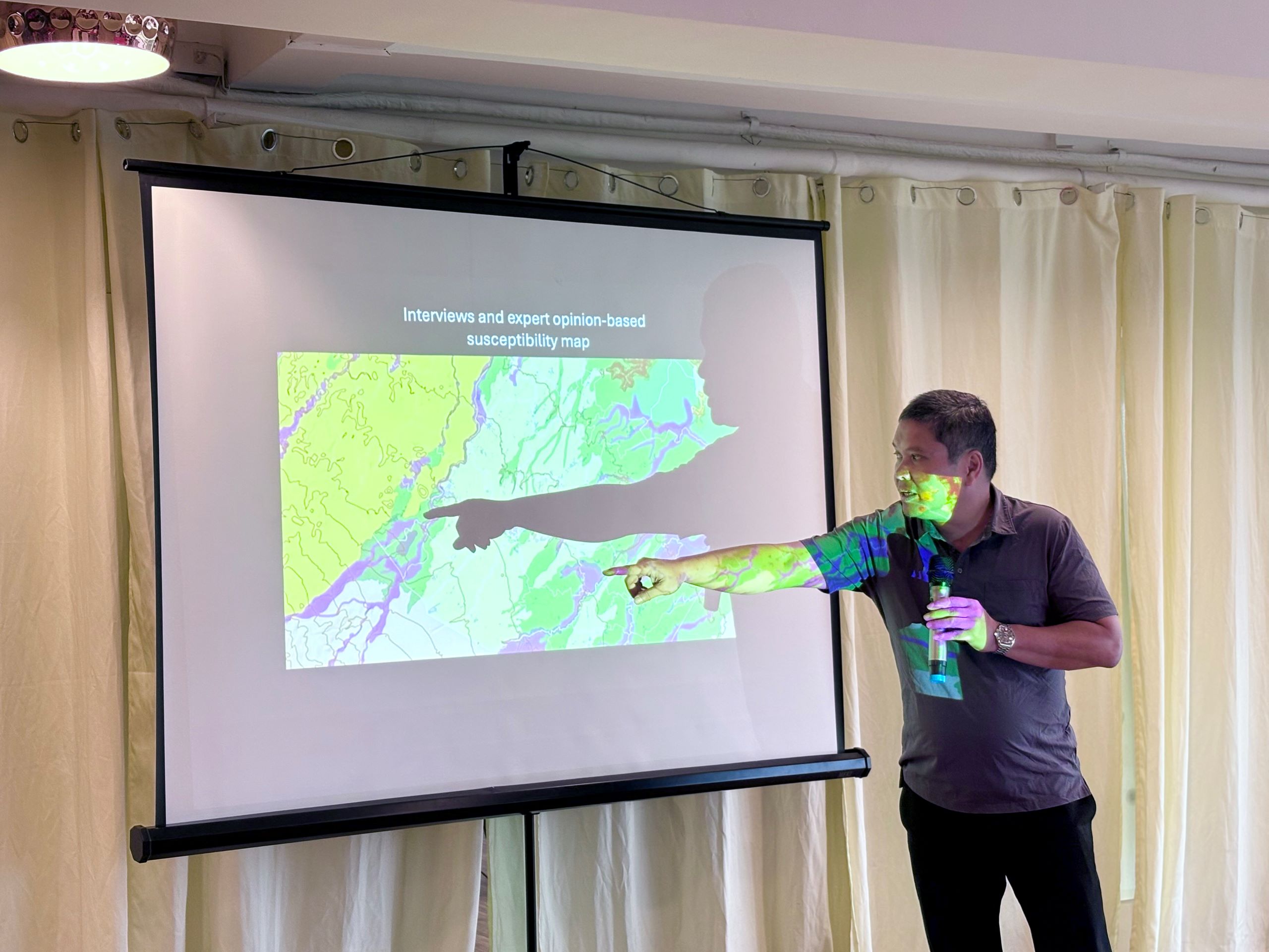
On 25 November 2025, UPRI’s Dr. Alfredo Mahar Lagmay, together with UPRI-NOAH Center’s researcher, Ms. Patricia Anne Delmendo served as resource and keynote speakers for……
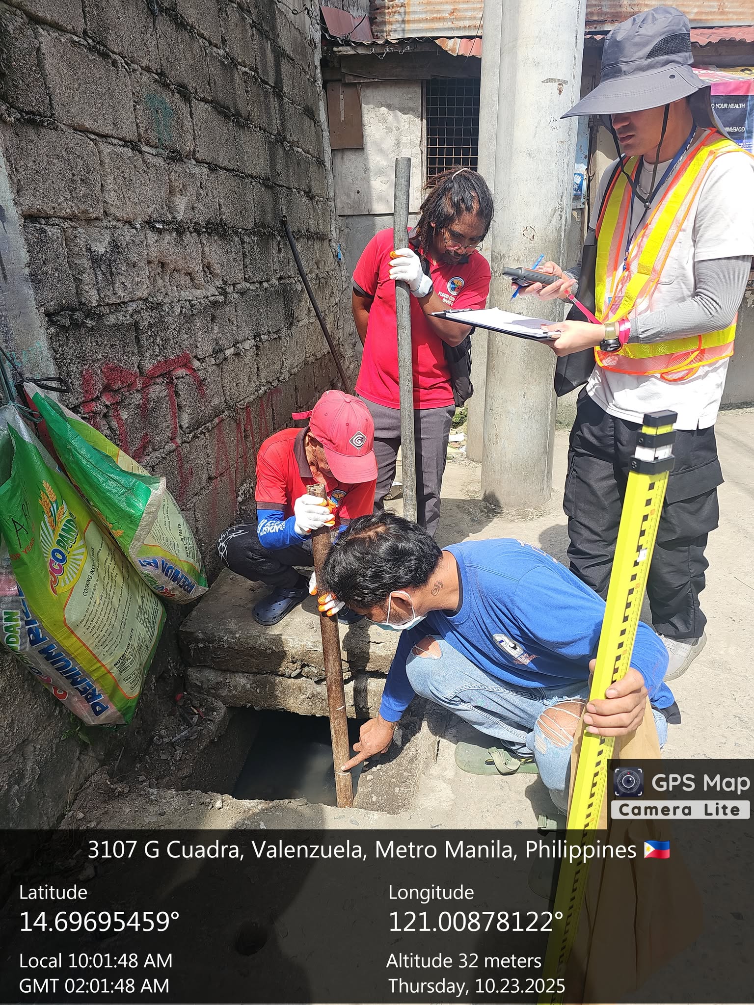
Valenzuela City has partnered with the University of the Philippines (UP) through the UP Resilience Institute (UP RI) – Nationwide Operational Assessment of Hazards (UP……
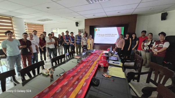
Article Prepared By: Franklin Joshua Gali and Patrick Ryan Bello From October 15, 2025, representatives of the UP Resilience Institute Institution Building Division (UPRI-IB) sent……
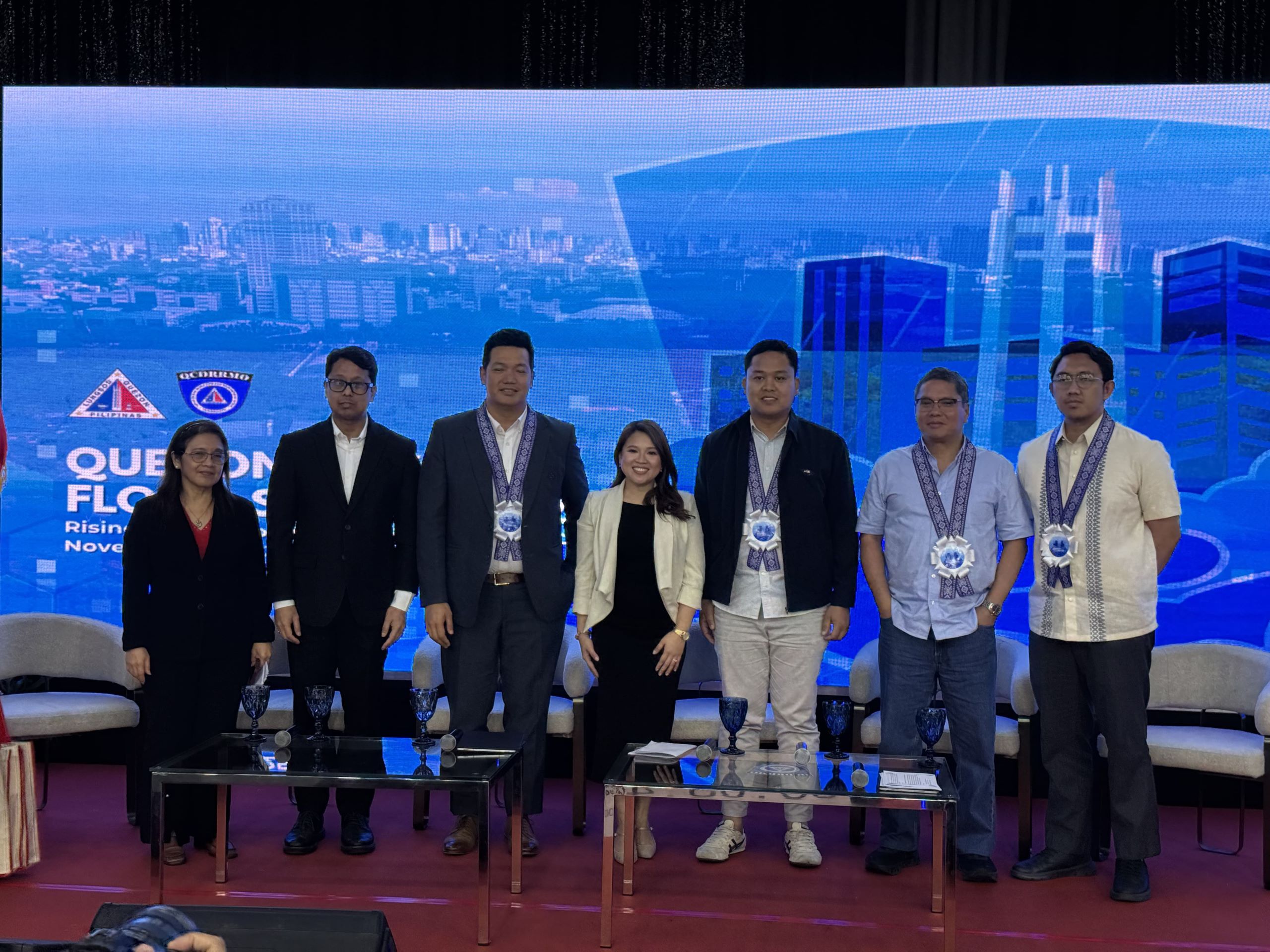
Dr. Mahar Lagmay with QCDRRMO Chief Maria Bianca Perez and Associate Architect of Palafox Associates Ryan Chai Cabañez, with the panel of experts from DILG,……
Article Written by Patrick Ryan Bello and Franklin Joshua Gali On 16 October 2025, a contingent from the Institution Building Division under UP Resilience Institute……
Written by: Ma. Shara Micah Oliquino with contributions from Gabriel Tan (Data extraction support) and Evangeline Lucille Ortiz (Design & Layout) From October 13 to……
Dr. DJ Darwin Bandoy speaks on harnessing the potential of special disease mapping. November 2025—Zamboanga City. Dr. DJ Darwin Bandoy, newly appointed Director of the……
Written by: Patrick Ryan Bello, Franklin Joshua G. Gali, and Jonathan David M. Maligalig Last October 8, the Institution Building Division under the UP Resilience……