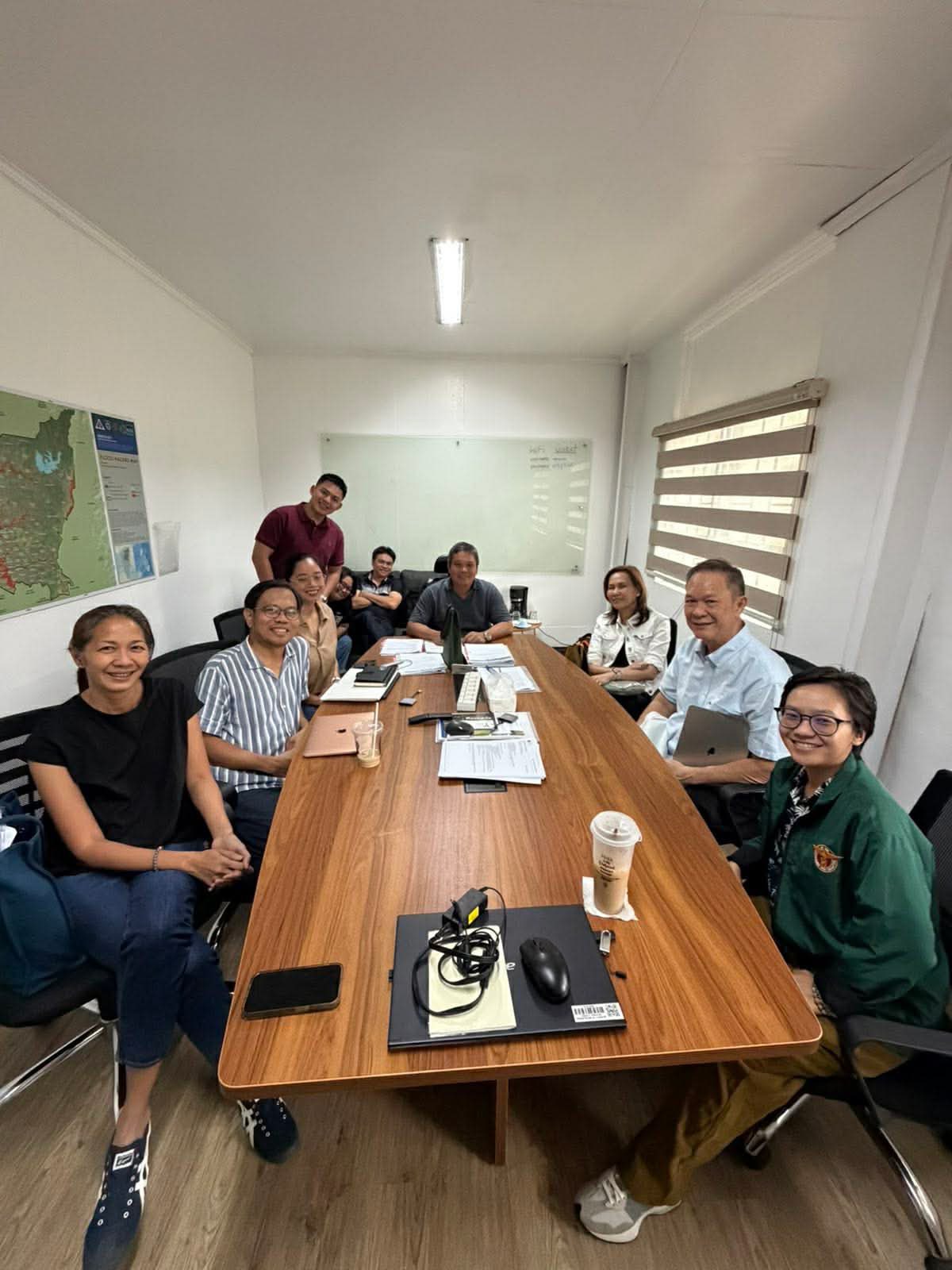
by: RCW and Education Division January 14, 2026 – Former Tarlac Governor and current Tarlac City Mayor Susan Areno Yap-Sulit visited the UP Resilience Institute……
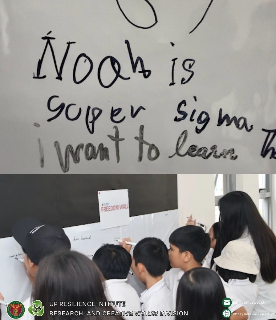
The UP Resilience Institute (UPRI) and NOAH Center had around 70 little visitors from the Centro Montessori school who were curious about the science behind……
Twelve years have passed since the unprecedented Typhoon Yolanda which heavily impacted Eastern Visayas. Going a step ahead of building back better, communities and schools……
Children posed the question, “What will I do if an earthquake happens while I’m sleeping?” The first iteration of IRAYA: Initiating Resilience Through Art and……
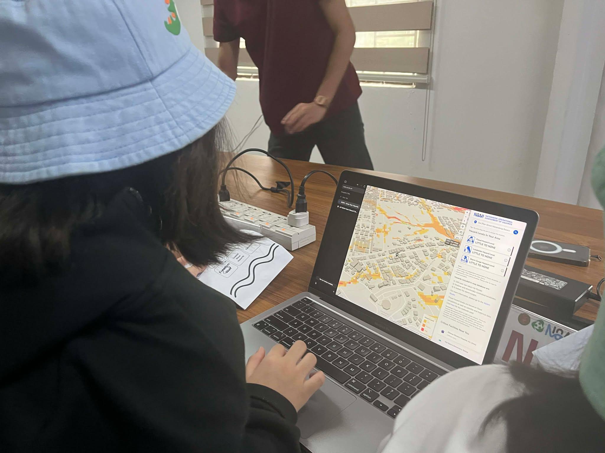
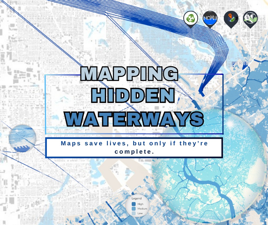
Flooding in the Philippines is often associated with extreme rainfall events. But in reality, floods are also shaped by what lies beneath—creeks, rivers, drainage lines,……
by Gereka Marie Garcia and Aira Joy Delos Angeles January 15, 2026 — Bright young minds from Centro Montessori recently visited the UP Resilience Institute-NOAH,……
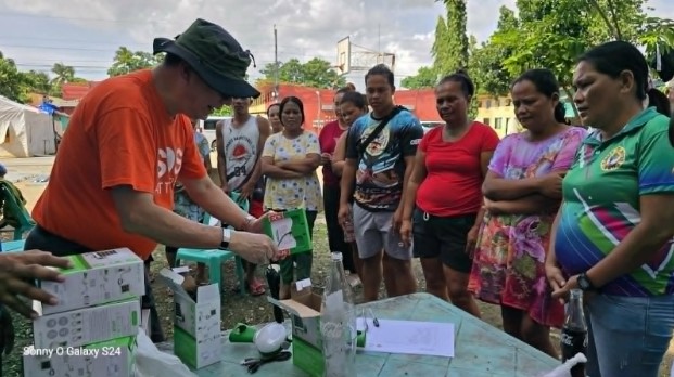
Article Written By: Jose Abraham Ongkiko Jose Abraham Ongkiko, Chief Science Research Specialist (also SOS Volunteer Responder) together with Jerzyne Anne Corpuz, Junior Project Assistant……
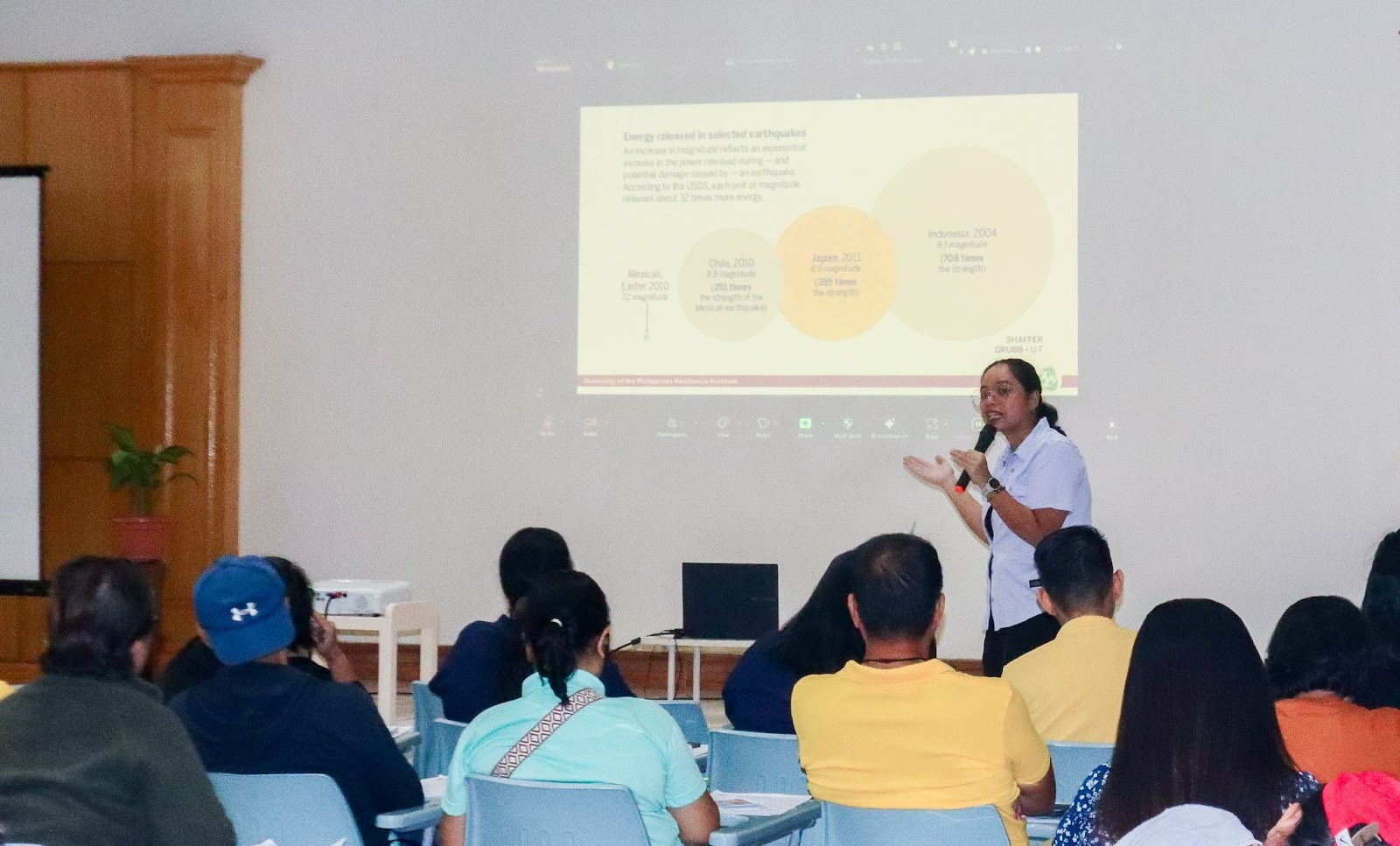
By Dainty Clarice Rabang, UPRI Education Division December 12, 2025 – The UP Resilience Institute served as a resource speaker on the science of earthquake……