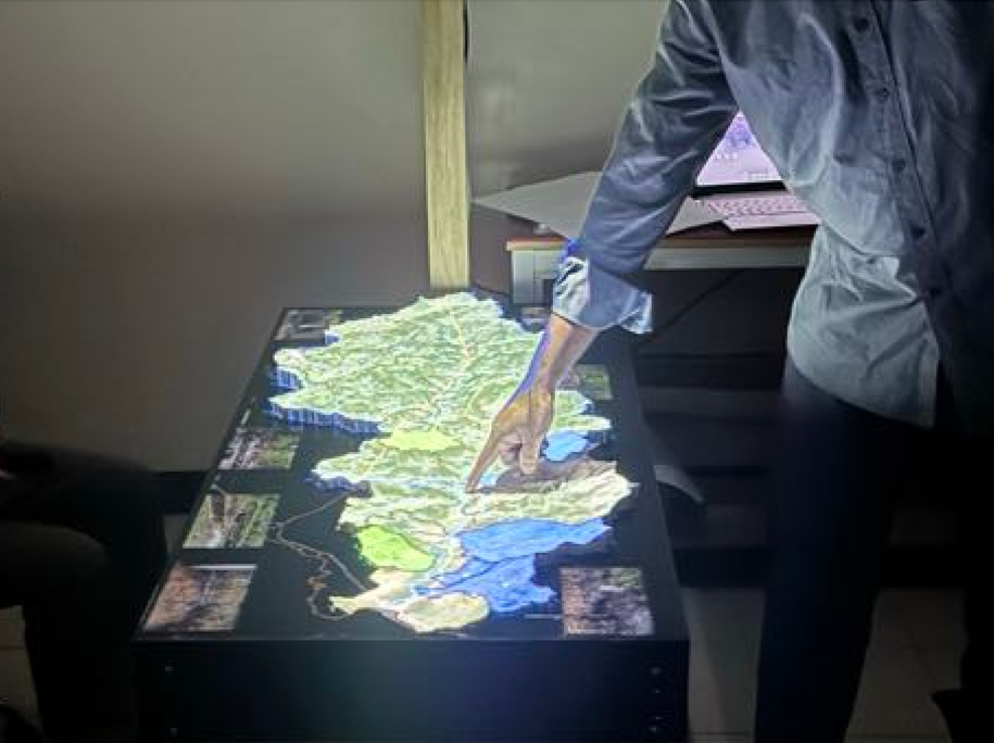
A unique 3D mapping technique was developed at the University of the Philippines by Dr. Chelo Pascua and his team as an effective means of conveying the geology and geohazards of the Balangiga River Watershed through a projector that overlays thematic maps.
When this projection is displayed on the 3D printed model, community members gain a clearer understanding of the locations of rock formations, fault structures, water pathways, land use, floods, and landslides. Such spatial data is optimally utilized for planning purposes, which every Local Government Unit (LGU) is mandated to submit to national government agencies.
In line with the public service initiatives of UP aimed at assisting communities, a demonstration of the 3D projection mapping tool took place on February 6, 2025, at the UP National Institute of Geological Sciences for the officials of the Municipality of Balangiga, led by Mayor Dana Flynch R. de Lira. The demonstration received high praise from Dr. Cherry L. Ringor, Director of the Institute of Environmental Science and Meteorology (IESM), Dr. Alfredo Mahar Lagmay, Executive Director of the UP Resilience Institute, Mr. Richard Ybañez, and former NIGS Director Dr. Mario Aurelio for its innovative method of communicating scientific information.
Having trouble viewing the video above? Click here to watch it: https://www.facebook.com/share/v/16EwE42ku3/