Lineament Analysis Training for UP Cebu (CENVI)
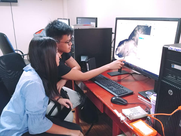
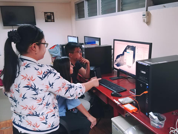
On January 24–25, 2019 researchers from the Center for Environmental Informatics (CENVI) of UP Cebu visited the UP Resilience Institute for Lineament Analysis Training. The aim of the activity is to introduce and demonstrate the use of satellite images and digital elevation models (DEMs) in identifying lineaments in the surface of the earth that may correspond to geologic features such as joints, fractures and fault lines. Techniques and guidelines for manual analysis were shown and explained using available images from Google Earth, 5 m x 5 m mid-resolution DEM generated from Interferometric Synthetic-Aperture Radar (IfSAR) and 1 m x 1 m high-resolution DEM produced from Light Detection and Ranging (LiDAR). For a more relevant experience, DEMs from Cebu and Bohol were used. These places, specifically Naga City in Cebu and the northwestern portion of Bohol, recently experienced hazard events that were structurally controlled and can be directly correlated to lineaments.

Researchers from the Center for Environment Informatics (CENVI) of UP Cebu were taught about lineament identification and analysis using DEMs from IfSAR and LiDAR.

Through GIS and remote sensing, lineament analysis was demonstrated and taught using recent relevant events that occurred in provinces such as Cebu and Bohol.
