by Kristian Audri Gabriel and Janiella Sandoval
The UP NOAH Center conducted a three-day Geographic Information Systems (GIS) workshop from December 3–5, 2024, at the Municipality of Balaoan, La Union. The participants consisted of representatives from each department of the municipality. The objective of the workshop was to equip participants with GIS knowledge and techniques relevant to spatial analysis, planning, and development.
The GIS workshop was part of the partnership between the UP NOAH Center and the Municipality of Balaoan to formulate their Comprehensive Land Use Plan (CLUP), Comprehensive Development Plan (CDP), and Local Climate Change Action Plan (LCCAP). This workshop marked the first activity in a series of engagements aimed at enhancing the municipality’s capacity for data-driven decision-making and planning.
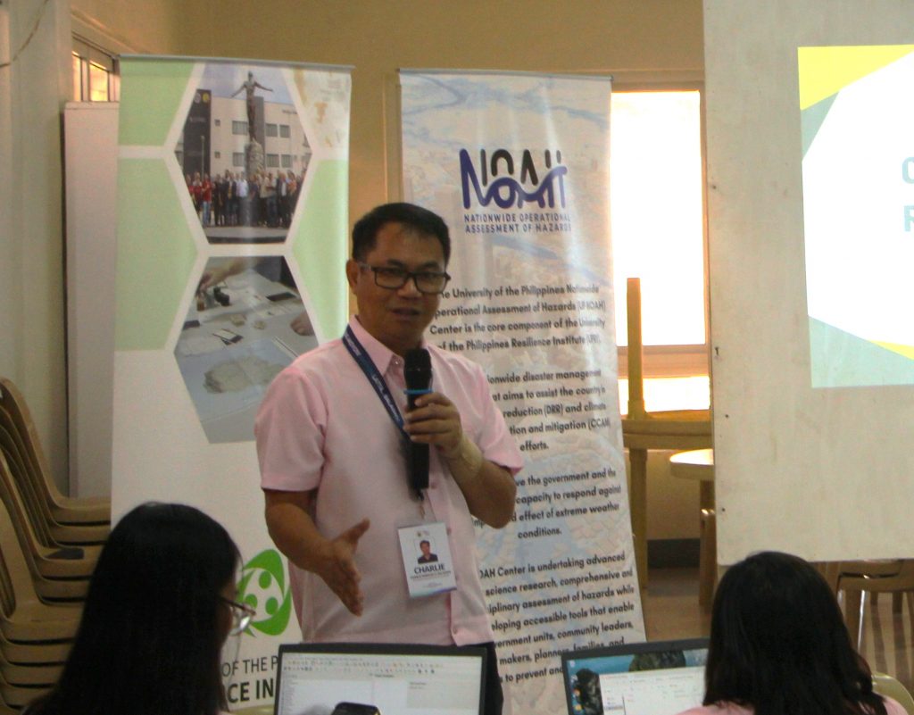
EnP. Charlie Fedencio O. Balanon, Municipality of Balaoan’s Municipal Planning and Development Coordinator.
EnP. Charlie Fedencio O. Balanon, the Municipal Planning and Development Coordinator, opened the workshop by emphasizing the importance and applications of GIS across different municipal offices. His opening remarks highlighted how GIS could transform the way local government units approach sustainable planning, foster collaboration among departments, and ensure that decisions are based on reliable spatial data.
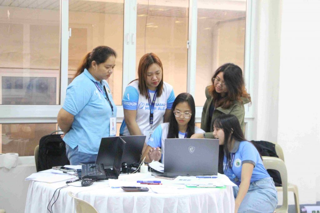
EnP. Arge Louise Joy Esquivel assisting the staff from the Municipality of Balaoan.
The lectures and activities were led by researchers from the NOAH Planning Component. Day One of the workshop began with an introduction to GIS, it’s historical development, the types of data, and map projections. Participants gained insight into various GIS applications across fields and learned how to gather data for spatial analysis. Each lecture was followed by a hands-on activity where participants explored fundamental GIS tools and processes, including adding raster and vector data, map navigation, attribute table management, and basic formatting. The training also discussed how to extract features from Google Earth and georeference aerial images and maps. This session provided participants with a strong foundational understanding of GIS and its potential applications in the local context.
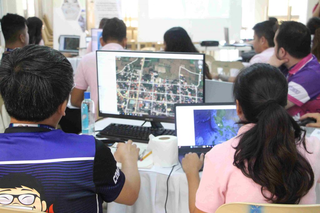
Staff from the Engineering office learning to use Google Earth Pro.
Day Two of the workshop focused on data collection, land use mapping, and exposure units. Participants engaged in field data collection using GPS and learned how to transfer the data into GIS software. They then concentrated on land use mapping, digitizing building footprints from the georeferenced image outputs from day one. The session concluded with an activity exploring hazard exposure and risk assessment, where participants categorized land use areas into various exposure unit types. These exercises not only demonstrated the practical applications of GIS but also underscored its role in disaster preparedness and risk mitigation, which are critical for a climate-vulnerable municipality like Balaoan.
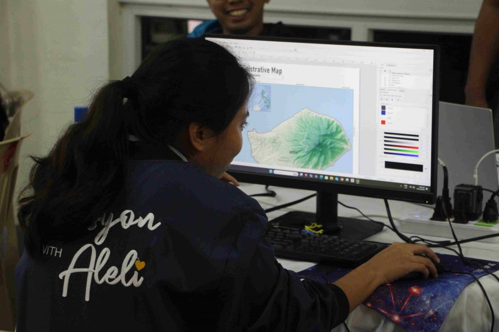
Creating the map layout as the final output for the workshop.
The final day of the workshop focused on layout creation, teaching participants how to add and format different map elements to effectively present spatial data. This interactive session fostered a sense of achievement among participants as they showcased their newly acquired skills and discussed how they plan to apply GIS in their respective roles. The day also included discussions on integrating GIS outputs into the municipality’s ongoing projects, ensuring that the learnings from the workshop are directly aligned with Balaoan’s development objectives.
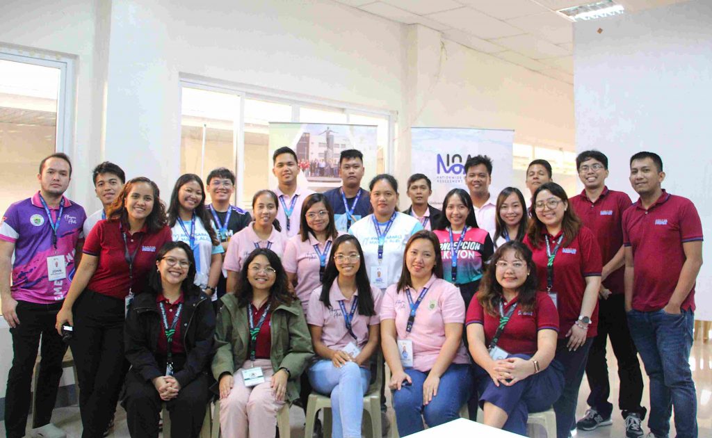
UP RI NOAH Center staff, along with representatives from the various offices of the Municipality of Balaoan.
The workshop’s success can be attributed not only to the technical expertise shared by the facilitators but also to the active participation and enthusiasm of the attendees. By the end of the three days, participants had gained a solid understanding of GIS tools and applications for local development, preparing them to contribute meaningfully to geographic analysis and decision-making in their respective fields.
Looking ahead, the UP NOAH Center is excited to continue this collaboration with the Municipality of Balaoan through future activities that will build on the foundation established during this workshop. Together, the UP NOAH Center and the Municipality of Balaoan aim to create comprehensive, evidence-based plans that will guide the municipality’s sustainable growth and resilience in the coming years.