


Klima at Kultura
Complex scientific concepts should be grounded in the lived realities of communities entailing translation into local languages and culturally-responsive warning systems. These would ensure that…...
The Language of Resilience
‘Sanrokan’ refers to the tradition of Romblon in sharing food and sharing ideas. This is the concept behind the 2026 International Sanrokan Festival on the…...
The Intersectionality of Climate Action
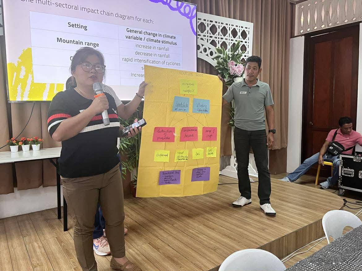
The impact of climate change differs from one sector to another, especially factoring in poverty and inequality. Farmers and fisherfolk may experience sea level rise…...
Youth Leaders Shaking the System for Climate Solutions
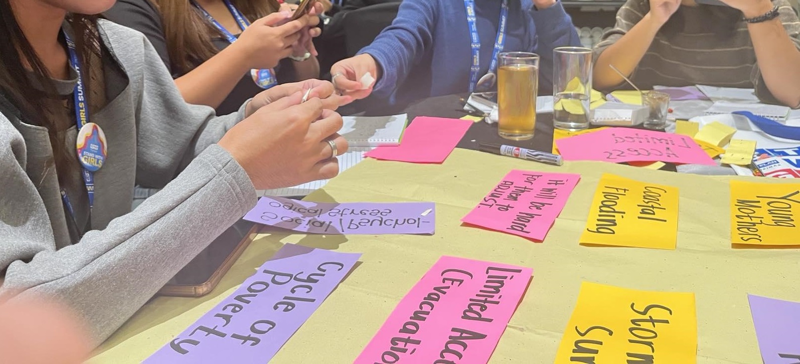
Youth leaders from community-based organizations in coastal areas of Las Pinas joined ‘EcoTayo: Ugnayan sa Klima for Resilient Communities,’ an innovative action planning workshop led…...
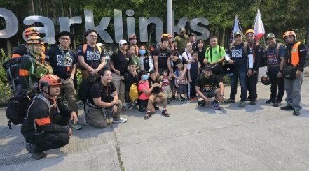
Resilience for the First Unit of Society: UPRI Joins the Family Prep MARCH
On February 22, 2026, representatives from the UP Resilience Institute (UPRI) joined the Family Prep M.A.R.C.H. (Mass Assembly for Rescue and Care for Humanity) at…...