


Two UPRI Researchers Among Five Filipinos Accepted to 2025 Global Green Finance Hub Climate Policy Fellowship
Two UPRI Researchers Among Five Filipinos Accepted to 2025 Global Green Finance Hub Climate Policy Fellowship Two researchers from the University of the Philippines Resilience…...
UP Quick Response Team deployed following the M6.9 Bogo Bay earthquake
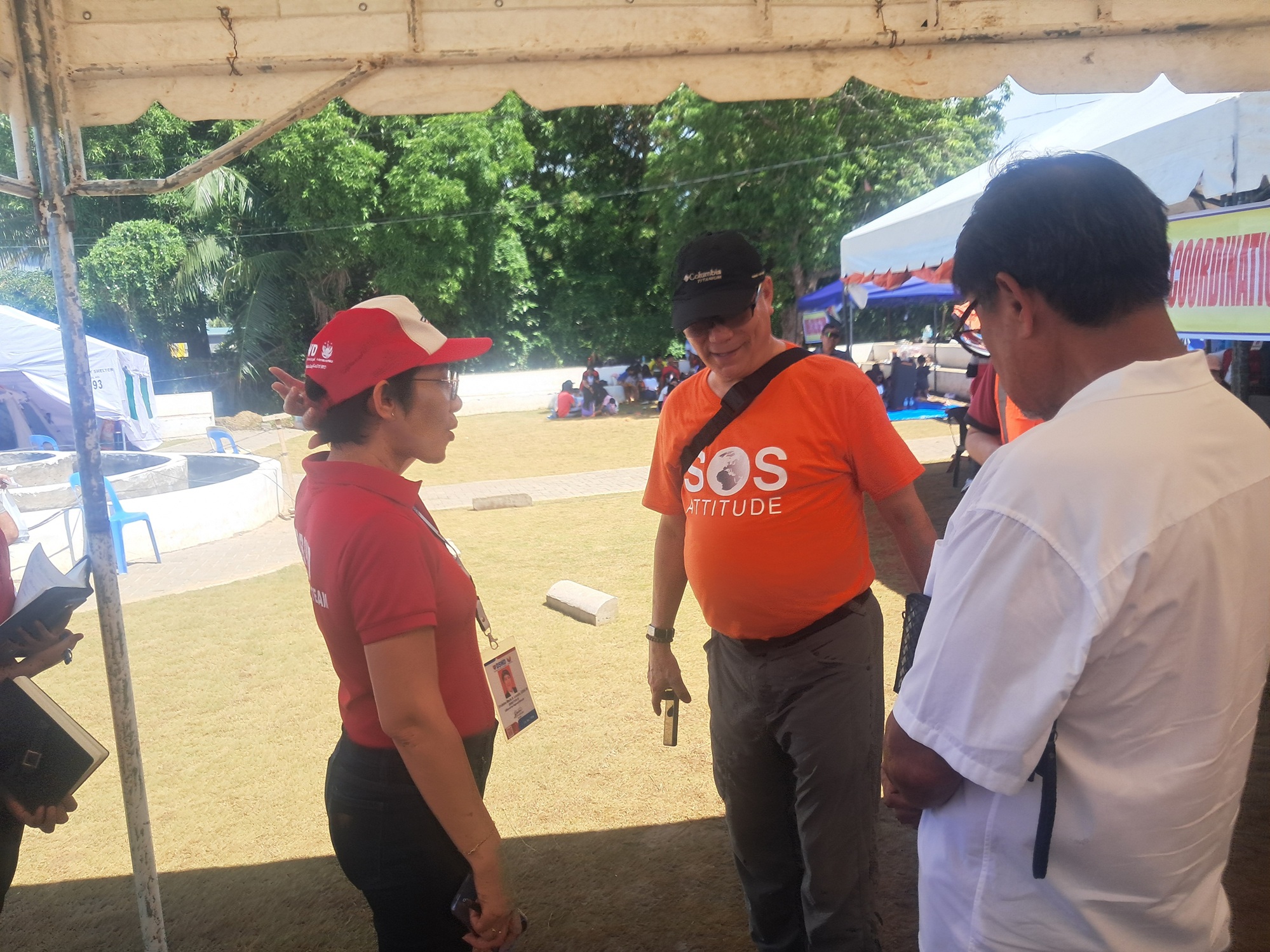
Written by NOAH Hazard Assessment Team The UP Quick Response Team, comprised of the UP Resilience Institute–NOAH Center (UPRI-NOAH), the UP National Institute of Geological…...
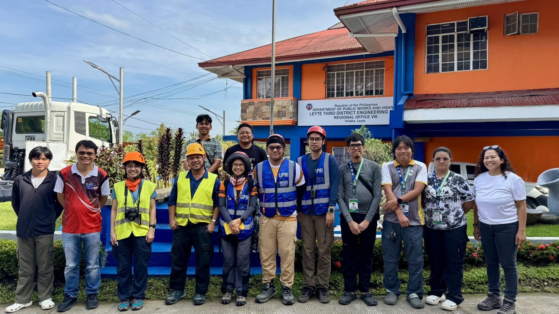
UPRI-IB conducts sites assessment of Cities and Municipalities after the Sept. 30 Northern Cebu Earthquake
Written by: Patrick Ryan Bello, Franklin Joshua G. Gali, and Jonathan David M. Maligalig Last October 8, the Institution Building Division under the UP Resilience…...
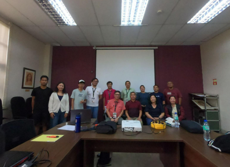
UPRI-IB conducts a Focus Group Discussion with UP Cebu following the Sept. 30 Northern Cebu Earthquake
Written by: Patrick Ryan Bello, Franklin Joshua G. Gali, and Jonathan David M. Maligalig On 8 October 2025, a contingent from the Institution Building Division…...
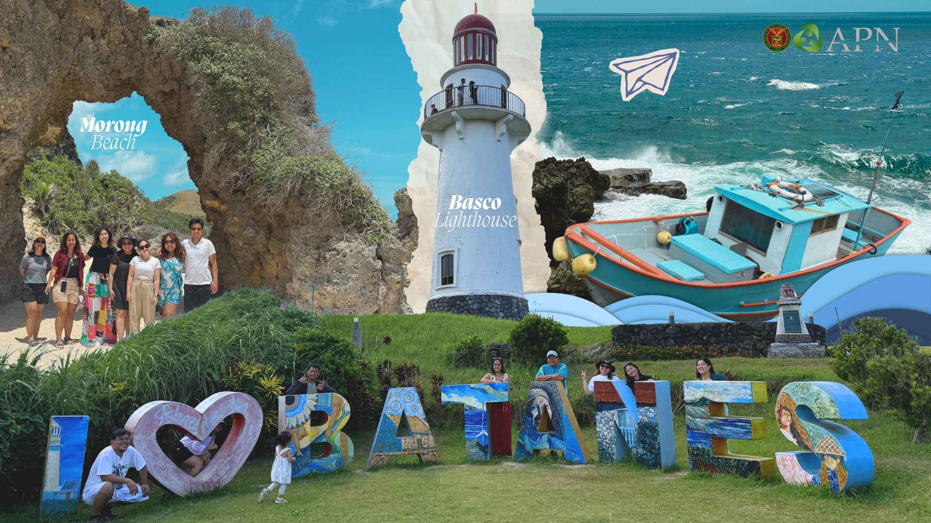
Batanes: The Landscape of Resilience
Known for its stone houses perched atop postcard-perfect cliffs, where emerald grass meets the rhythmic crash of waves against volcanic boulders, Batanes feels like a landscape touched by divine forces. Yet, it is perhaps for that very reason that the...