


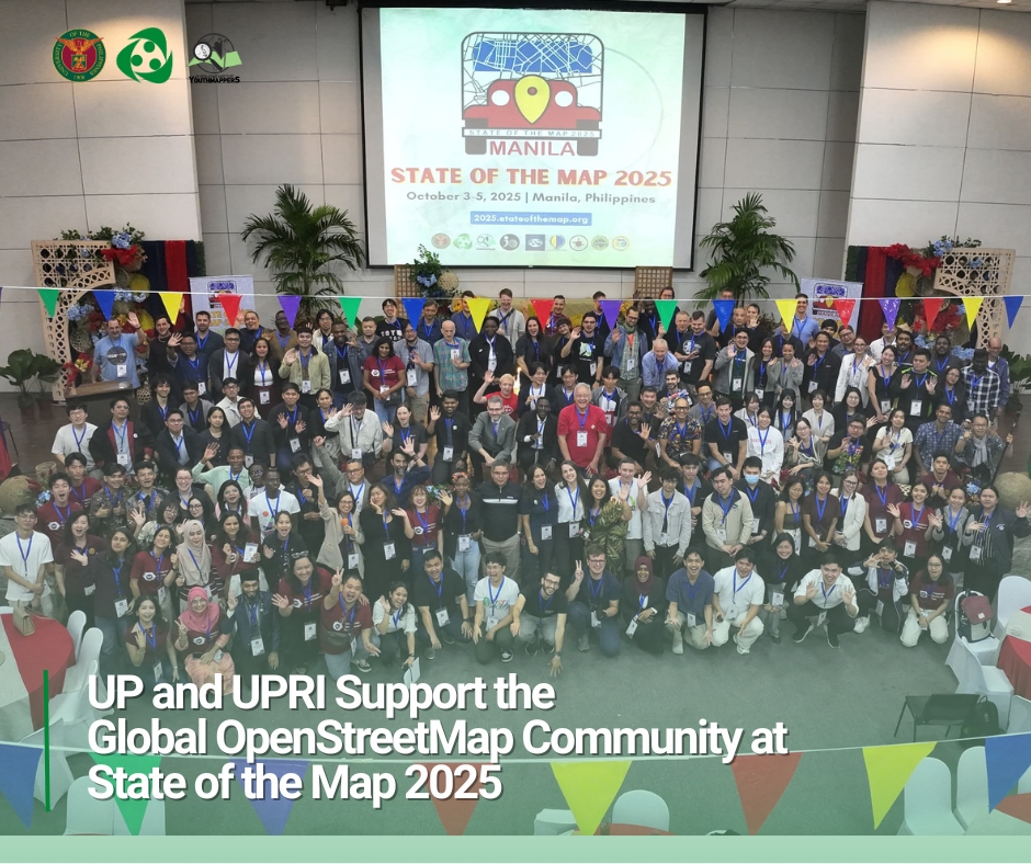
UP and UPRI Support the Global OpenStreetMap Community at State of the Map 2025
The University of the Philippines (UP), through the UP Resilience Institute (UPRI) and the UP Department of Industrial Engineering and Operations Research, proudly supported the…...

Behind The Science Podcast: Measuring earthquake impact on the construction sector
On the 84th episode of the Behind the Science Podcast series, we unpacked the situation of the building construction industry in the aftermath of disasters.…...
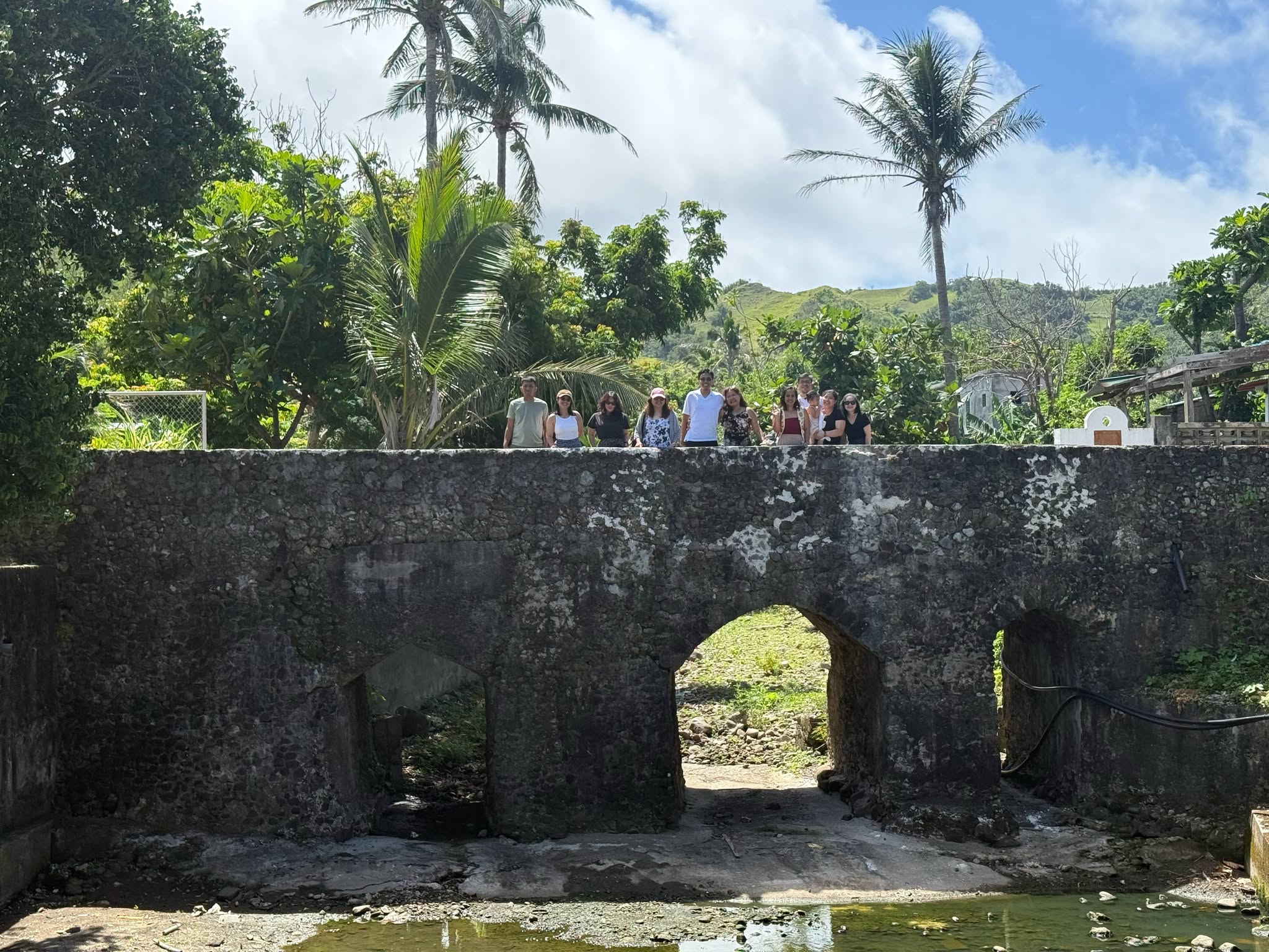
From Trainers to Learners: Reflections on Resilience in Batanes
The capacity-building activities under the project “Bridging Academic Researchers and Vulnerable Island Communities in the Philippines: Enhancing the Climate and Disaster Risk Management Capacities of Municipalities in Batanes” (APN–Batanes Project) were intentionally aligned with national frameworks for climate and disaster...
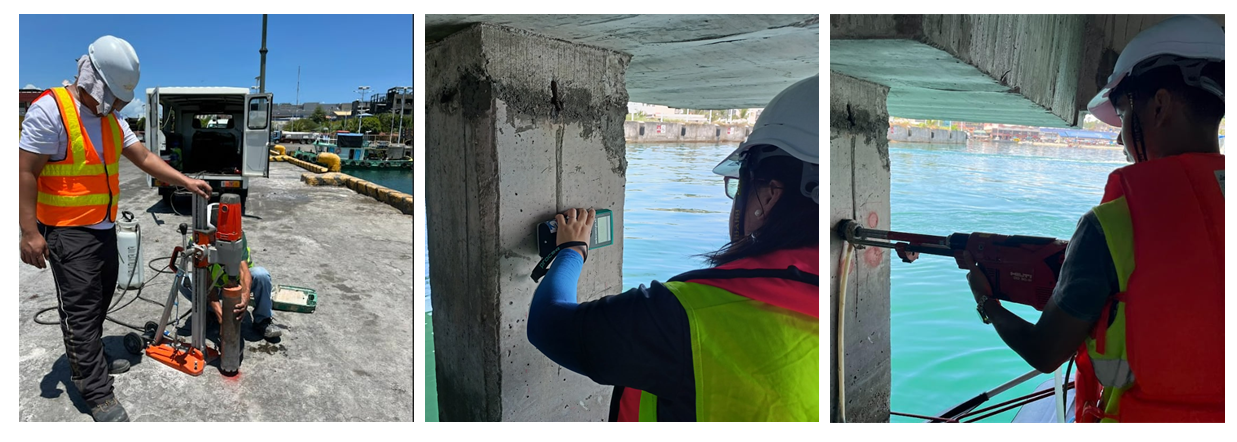
Engineering for Resilience: Accelerated Rebar Corrosion Study in Coastal Concrete under the ExCoN Project
Written by: Chelly Mei Tanpoco and Audrei Anne Ybanez A common durability issue observed in coastal concrete infrastructure is the corrosion of the steel reinforcement…...
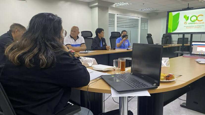
UP Resilience Institute Serves as Judge for the 2025 Quezon City Green Awards
The 2025 Quezon City Green Awards, now in its third year, recognizes outstanding initiatives in Disaster Risk Reduction and Management (DRRM) and Climate Action. The…...