Assistance during Disasters (Public Service) – Natonin Landslide (Typhoon Rosita)
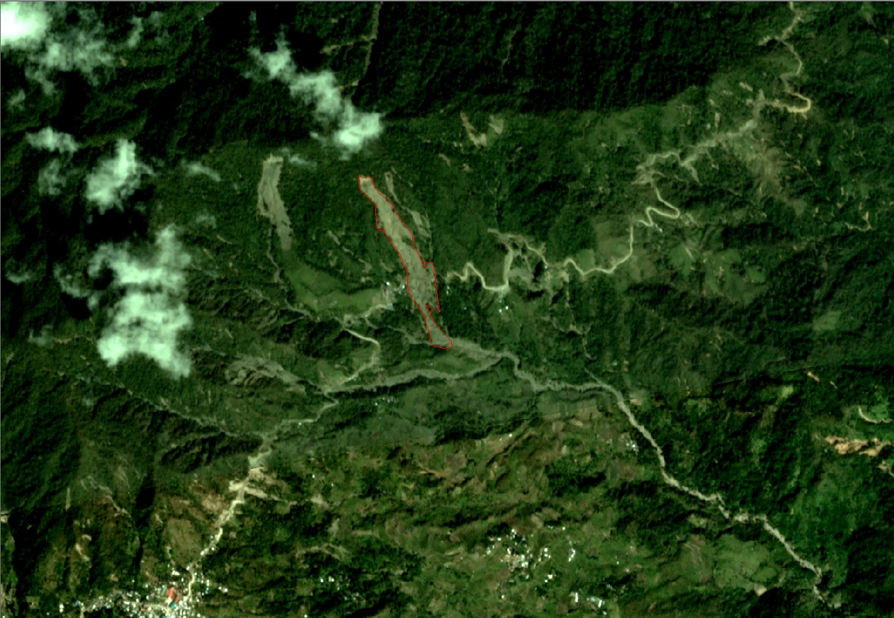
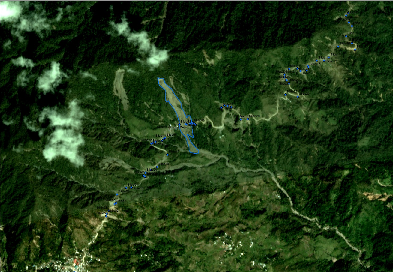
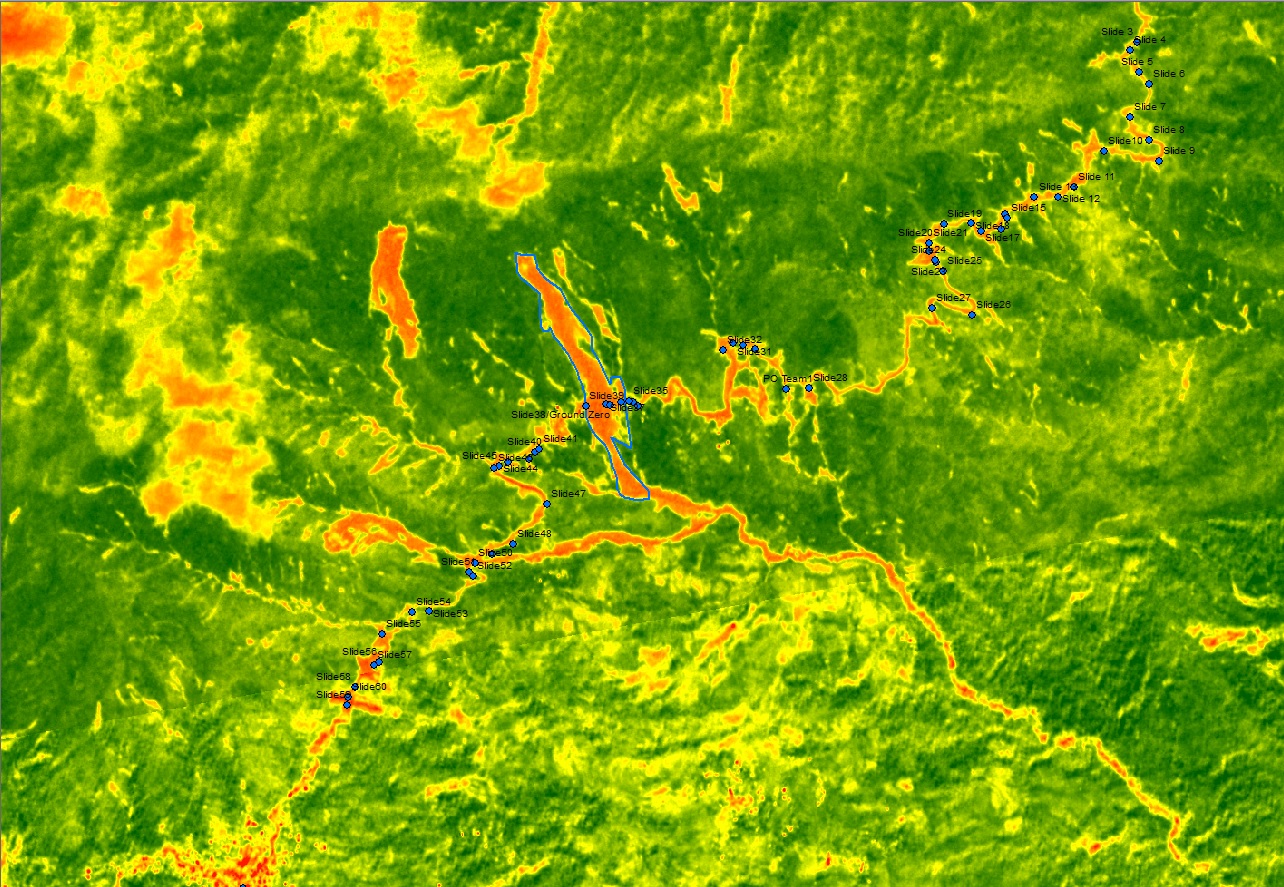
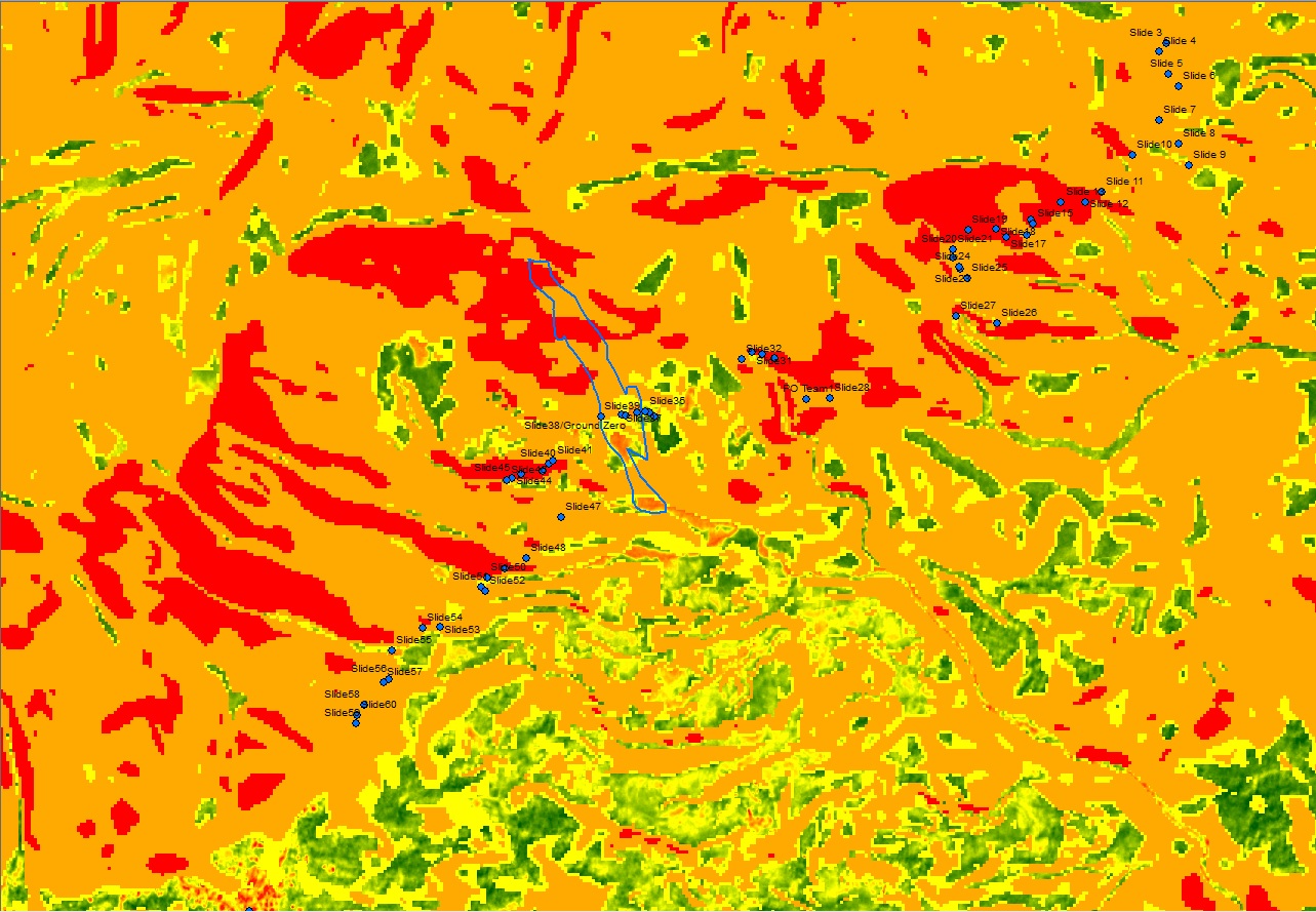
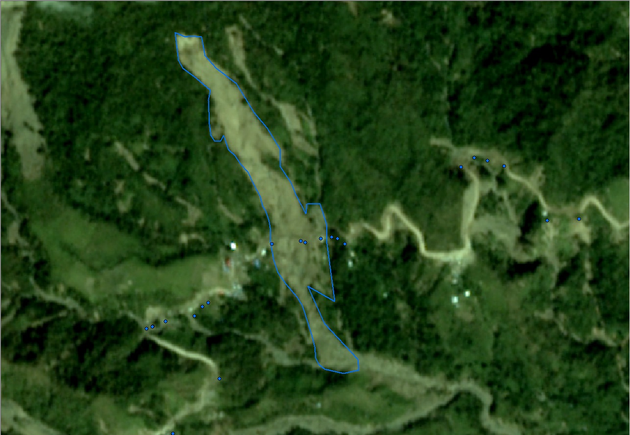
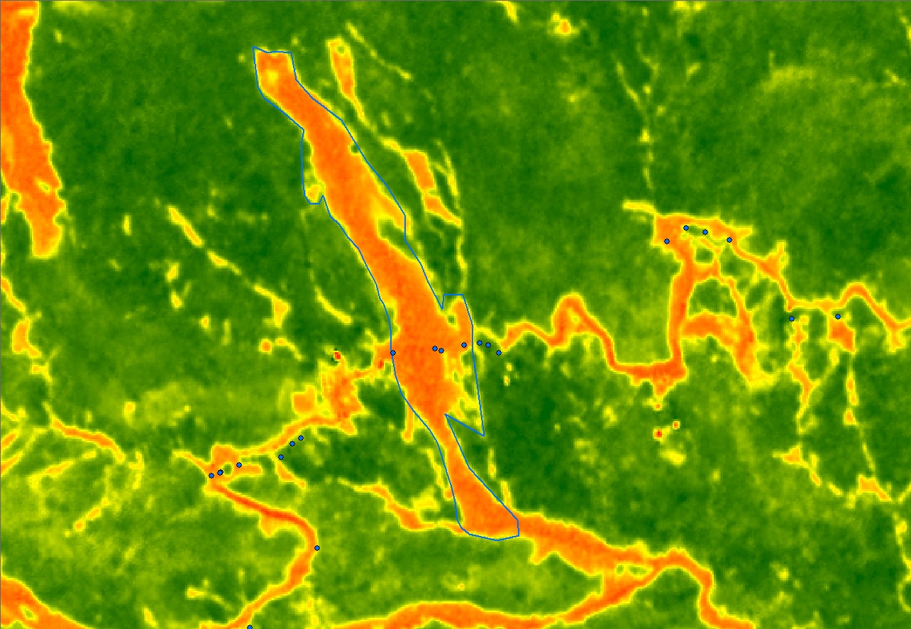
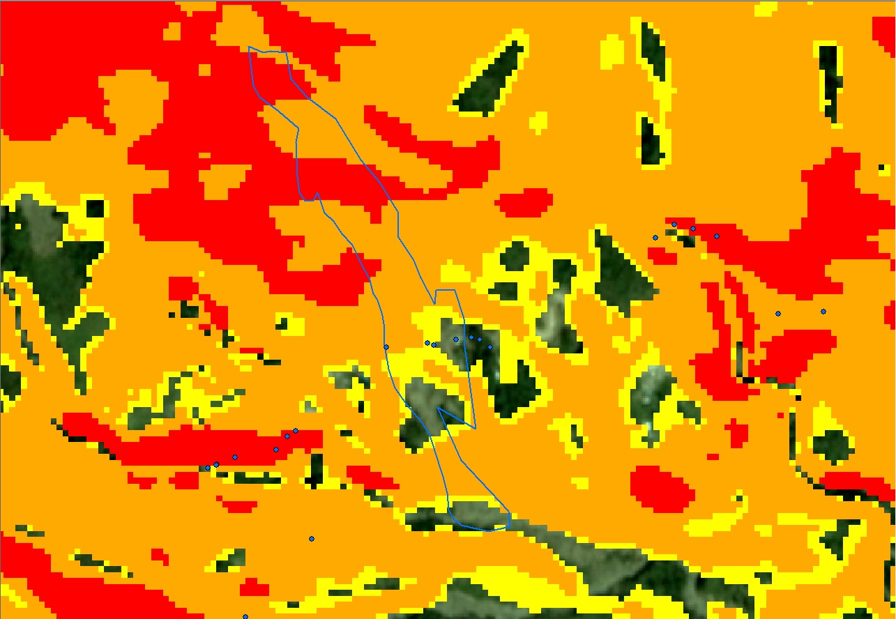
During the onslaught of Typhoon Rosita last October to November 2018, Sitio Ha’rang in Banawel, Natonin, Mountain Province experienced landslide which buried the DPWH 2nd District Engineering Building. A total of 30 individual were reported affected by the landslide where 3 were killed and 27 were trapped inside the DPWH building.

Photo taken during the SAR Operations. (Source: PDRRMO-Mountain Province)

Photo taken during the SAR Operations. (Source: PDRRMO-Mountain Province)
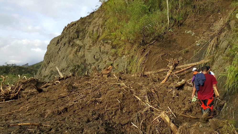
Photo taken during the SAR Operations. (Source: PDRRMO-Mountain Province)
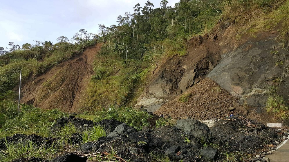
Photo taken during the SAR Operations. (Source: PDRRMO-Mountain Province)
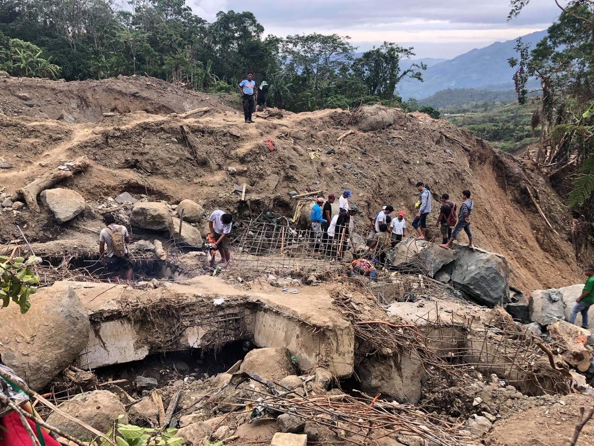
Photo taken during the SAR Operations. (Source: PDRRMO-Mountain Province)
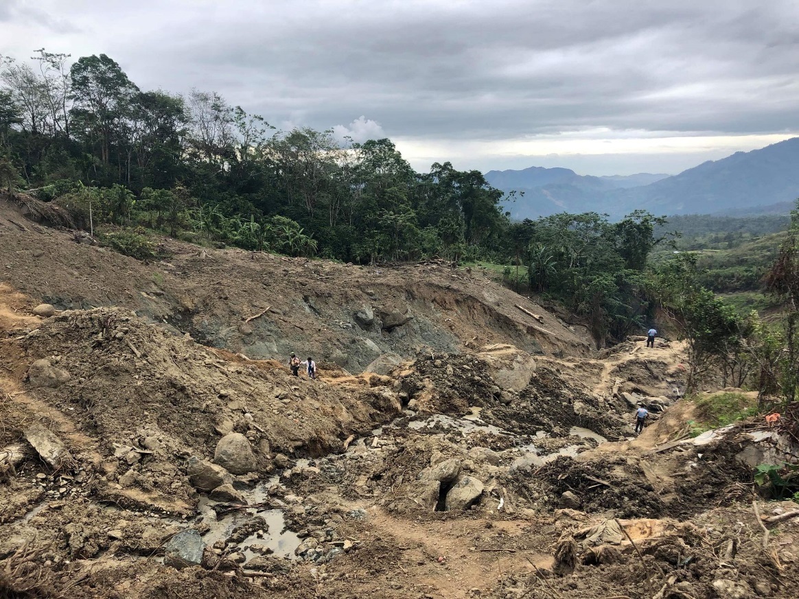
Photo taken during the SAR Operations. (Source: PDRRMO-Mountain Province)
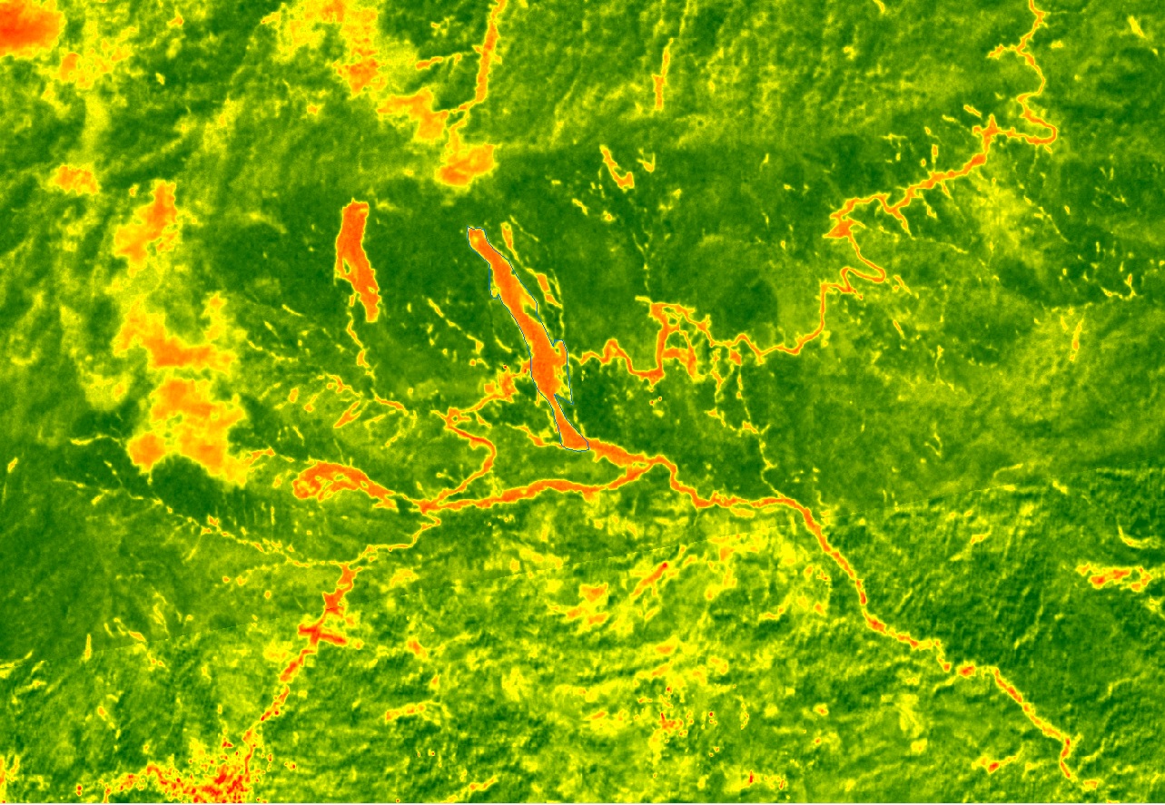
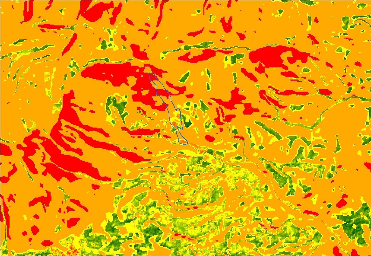
The University of the Philippines Resilience Institute offered technical assistance during the search and retrieval operation which was conducted from 31 October 2018 to 21 November 2018. UPRI delineated boundaries of major landslide areas by using satellite images. NOAH maps were also used to verify areas of high, moderate and low hazards.