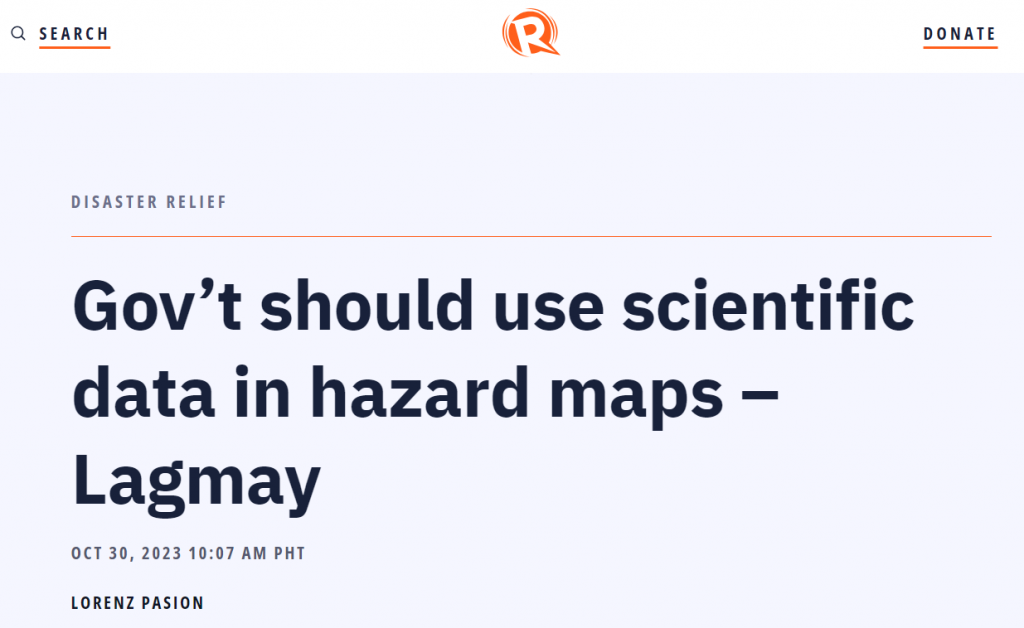
 Screenshot of the title page of the article written by Lorenz Pasion from Rappler’s website
In an interview with Rappler, UPRI and NOAH Center Executive Director Dr. Mahar Lagmay has said that many people have died because the government still only relies on historical anecdotes about disasters rather than on scientific data that will predict where the hazards will be. In addition to historical maps, local governments should use “probabilistic maps” to reduce casualties.
In many incidents, even those in evacuation centers have been killed, citing Tacloban in 2013, Compostela Valley in 2012, and Kusiong Relocation site in 2022. Dr. Lagmay questioned why so many casualties occurred in those areas. The answer, he says, is that the location of these evacuation centers are themselves in a hazardous location. They had interviewed people in the area and asked them if landslides had occurred in the area and colored a map, which is used a basis for their hazard maps. Changes in these maps only occur after a disaster happens. This is in contrast to probabilistic maps which are informed by simulations of hazards in areas which can highlight hazardous areas before a disaster strikes. This provides a much clearer picture than only relying on what people have remembered in the past. Deaths in evacuation centers could have been avoided with the use of NOAH’s probabilistic maps, where areas that had evacuation areas had been marked as having low susceptibility in local maps but highly susceptible in NOAH’s maps. Despite all of this, deterministic maps are still used for planning.
“We need to plan for them and adapt to those future climate change impacts which may be happening now already,” Dr. Lagmay said.
Read the full article from Rappler by clicking on this link.
Read more about Probabilistic Risk Assessment by clicking on this link.
