by the Education Division and Hazards Assessment Team
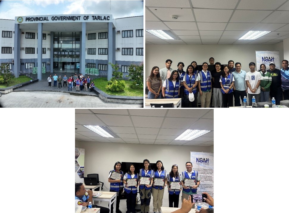
The University of the Philippines Resilience Institute (UPRI) conducted a comprehensive training on drone flight and mapping for the Provincial Government of Tarlac (PGT) last 27 to 28 August, 2025. The activity brought together staff from the provincial offices, the City Government of Tarlac, municipal representatives, and local Disaster Risk Reduction and Management (DRRM) officers, underscoring the wide interest in applying drone technology to strengthen local resilience.
In his welcoming remarks, UPRI Executive Director Dr. Mahar Lagmay emphasized the importance of equipping local governments with practical skills and tools. He noted that while drones are advanced pieces of technology, their true value lies in enabling LGUs to make informed decisions for disaster preparedness, environmental monitoring, and sustainable development. “What we aim to build here is a culture of readiness—where data and tools are harnessed to protect lives, support planning, and ensure that development remains sustainable,” he said.
The training featured a two-part program. The morning session introduced participants to drone fundamentals—covering types of drones, core components, safe operation, and the basics of aerial mapping. Trainers demonstrated how aerial images can be processed into maps, models, and other decision-support products, highlighting applications in hazard monitoring, land use planning, and infrastructure assessment.
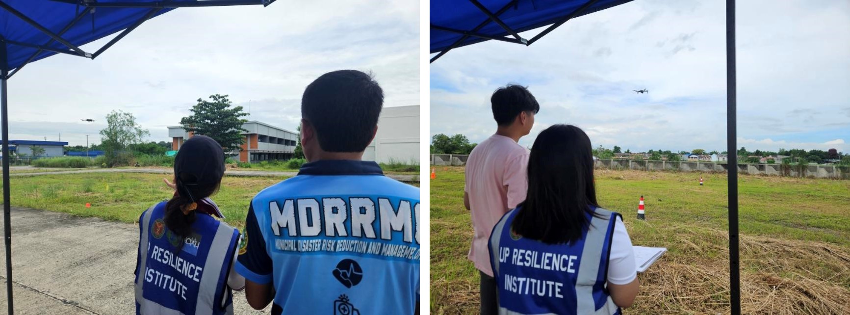
In the afternoon, participants engaged in live flight demonstrations. UPRI CAAP-certified instructor-operators guided them through safety protocols, flight checklists, and the do’s and don’ts of operating drones in the field. Attendees were able to observe and experience waypoint plotting, flight path planning, and mapping maneuvers, reinforcing how drones can be deployed for both routine monitoring and rapid disaster assessments.
By gathering representatives from across the province—from the capital city to municipal staff and DRRM officers—the training fostered collaboration and a shared vision of how drone technology can serve as a vital tool for local governance. Participants expressed enthusiasm for applying their learnings in ongoing and future projects, particularly in disaster preparedness, environmental monitoring, and urban planning.
The initiative reflects UPRI’s continued commitment to capacity building and knowledge sharing with local governments. Through trainings such as this, UPRI helps LGUs translate innovative technologies into concrete action, ensuring that communities are better prepared for the challenges of climate change, natural hazards, and sustainable development.
Interested in Drone Training?
For local governments, institutions, or organizations interested in collaborating with UPRI on drone flight and mapping training, you may reach us through:
📧 Email: resilience.institute@up.edu.ph, upri.educ@up.edu.ph
🌐 Website: resilience.up.edu.ph
☎️ Phone: +63 (02)8981-8500 loc. 3771