Valenzuela City has partnered with the University of the Philippines (UP) through the UP Resilience Institute (UP RI) – Nationwide Operational Assessment of Hazards (UP NOAH) Center in developing a Drainage Master Plan (DMP) for the city. The Valenzuela City Drainage Master Plan (VCDMP) is a multi-year project that commenced in September 2025.

This plan will be used to further understand the flooding situation of the city and the impacts of the inundation in every barangay. The DMP also serves as a framework for long-term flood management and as a guide for the planning and implementation of drainage improvement and flood control programs in their locality. It is part of the efforts of Valenzuela City to ensure that data-driven and Science-based flooding information from UP RI will be utilized before investing in any structural and non-structural flood control projects.
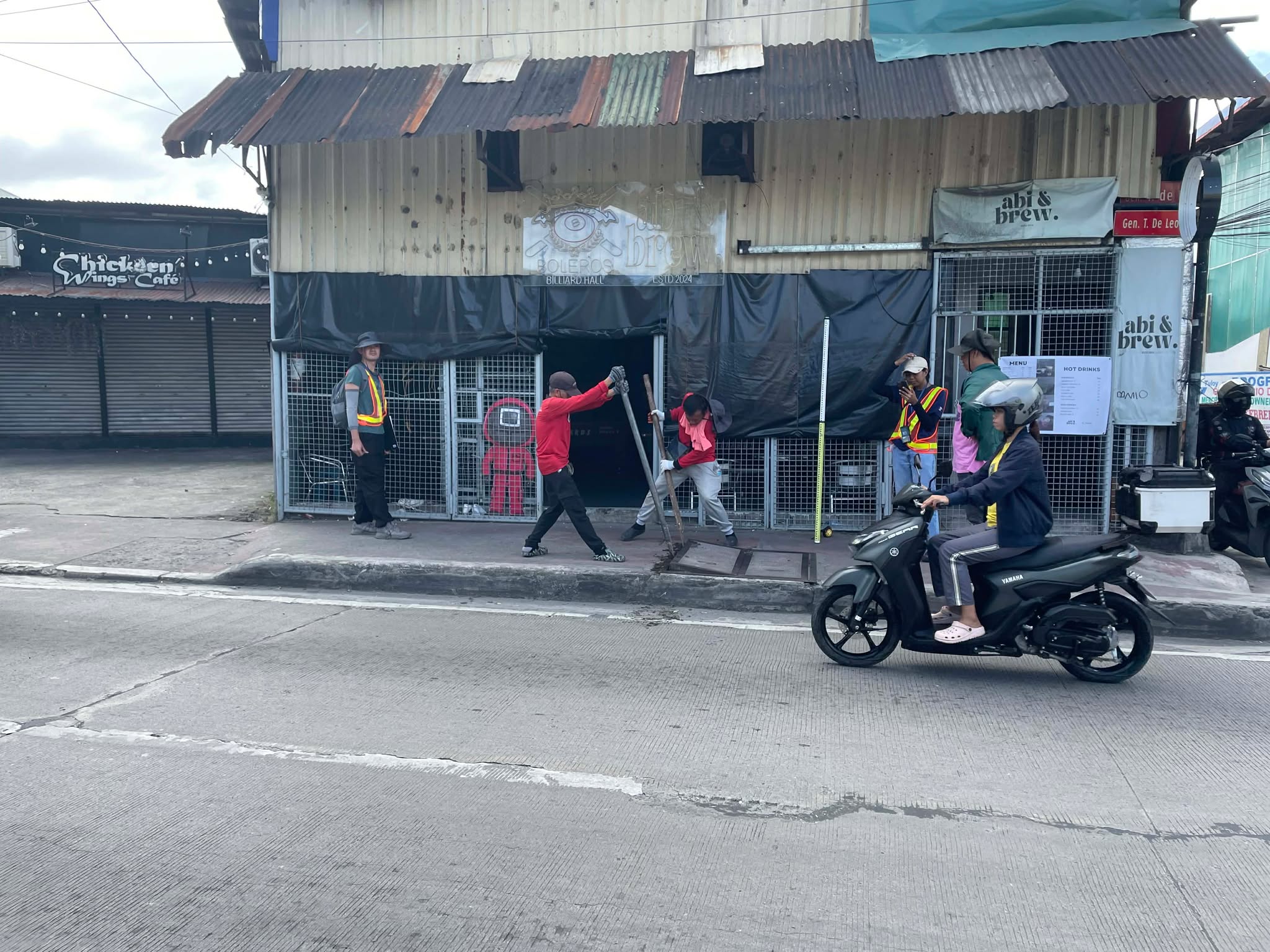
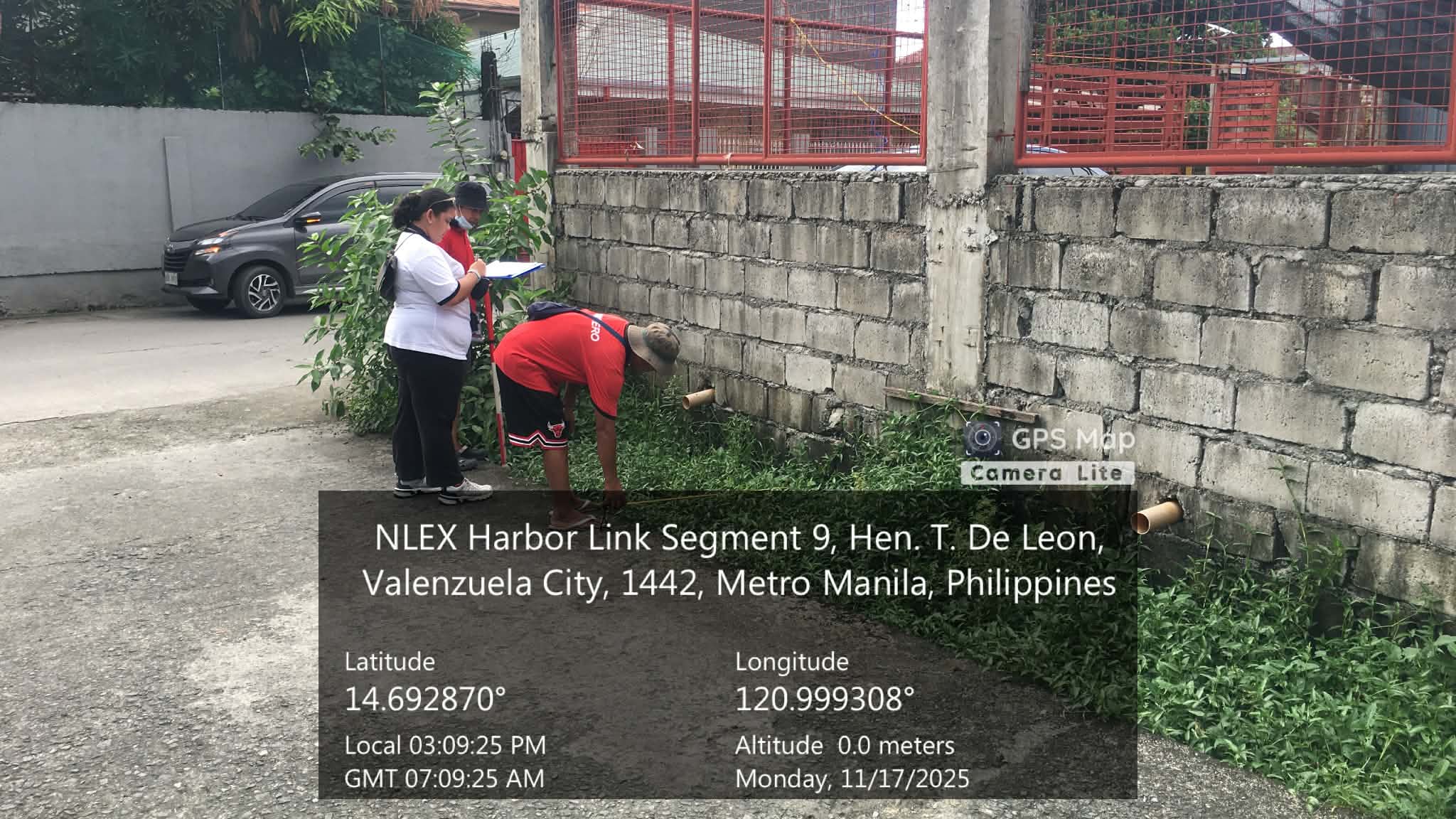
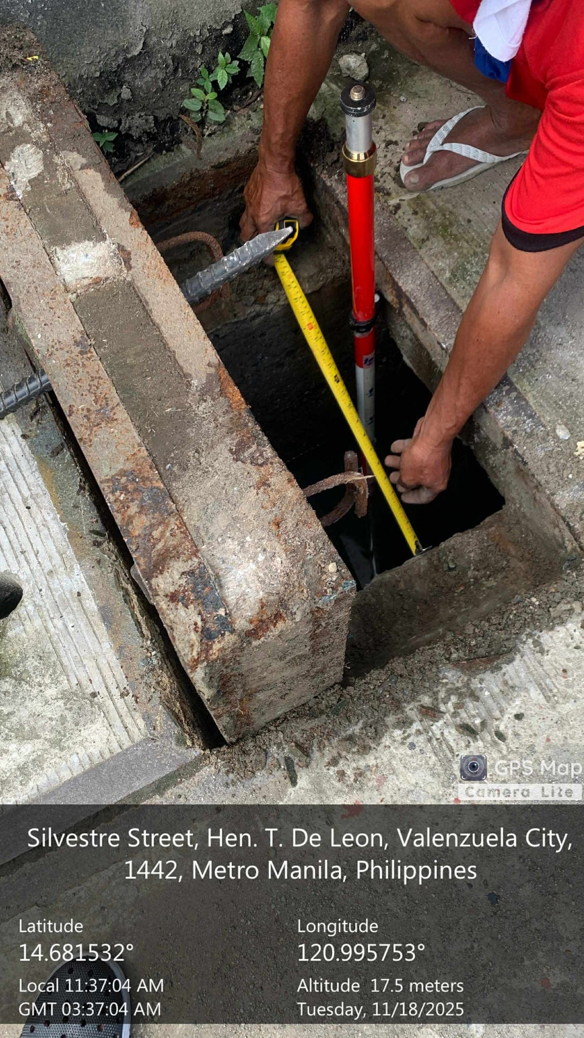
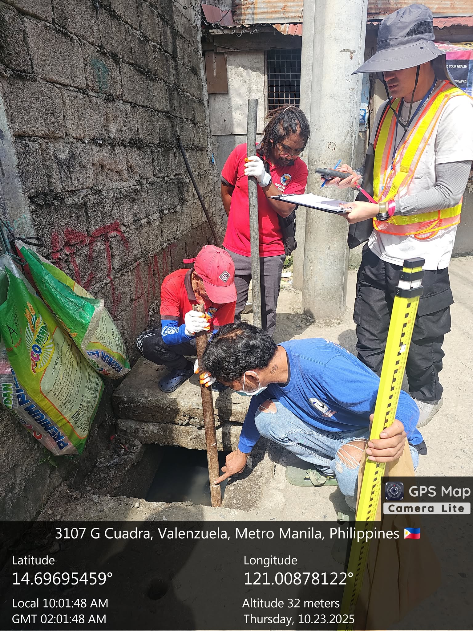
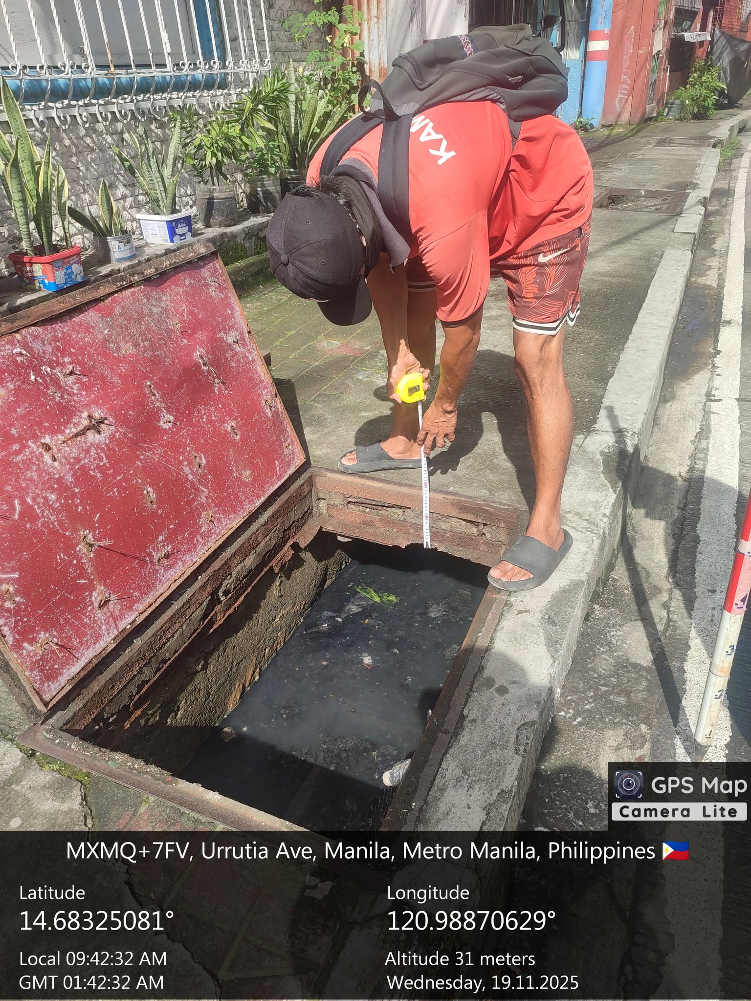
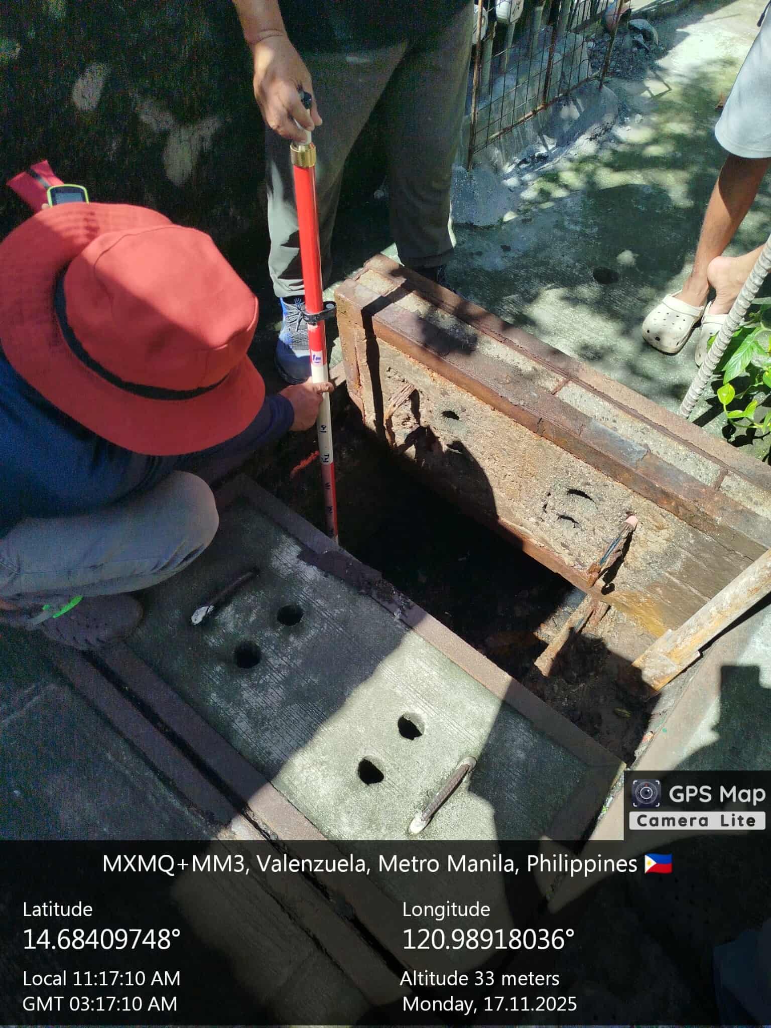
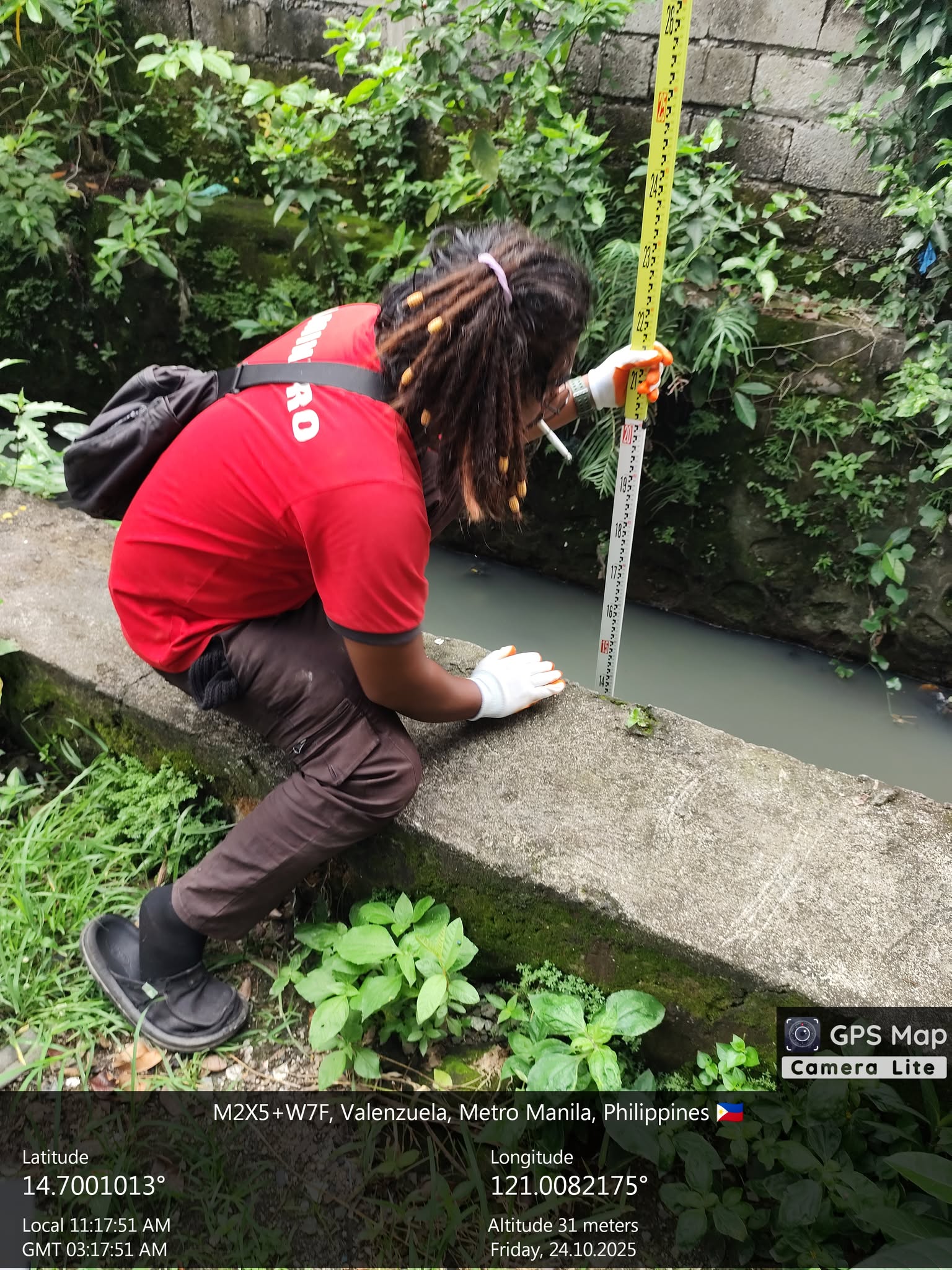
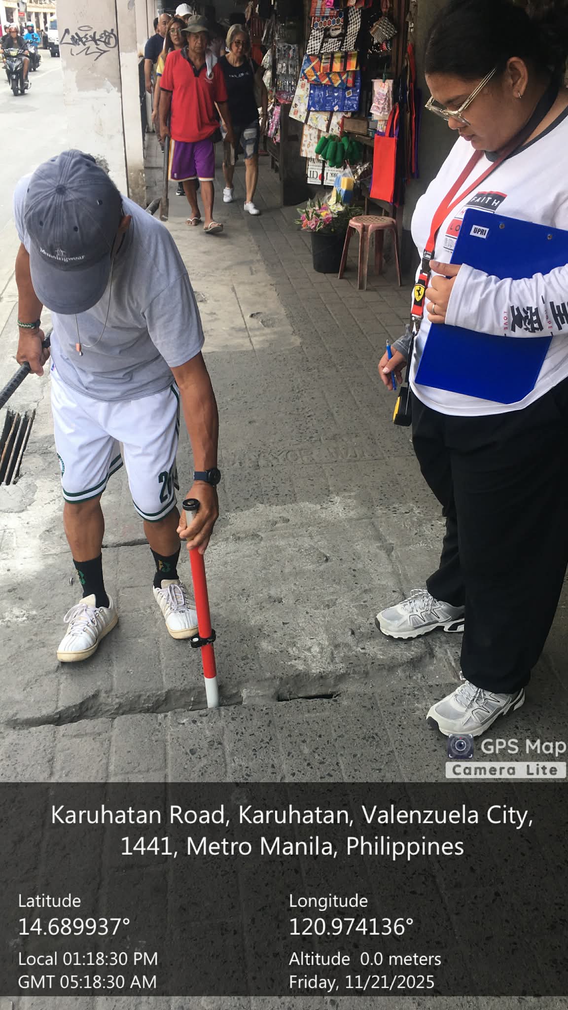
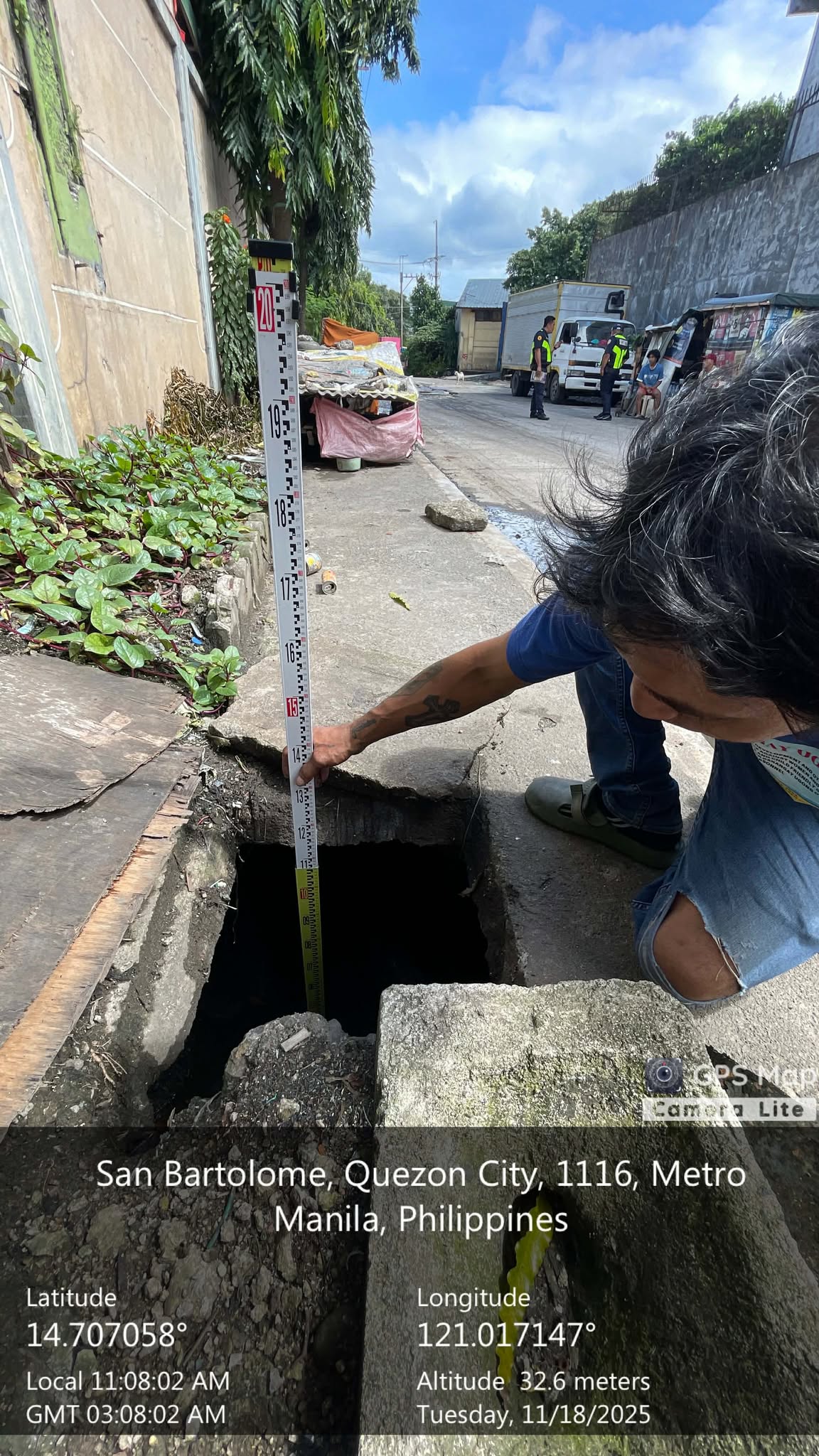
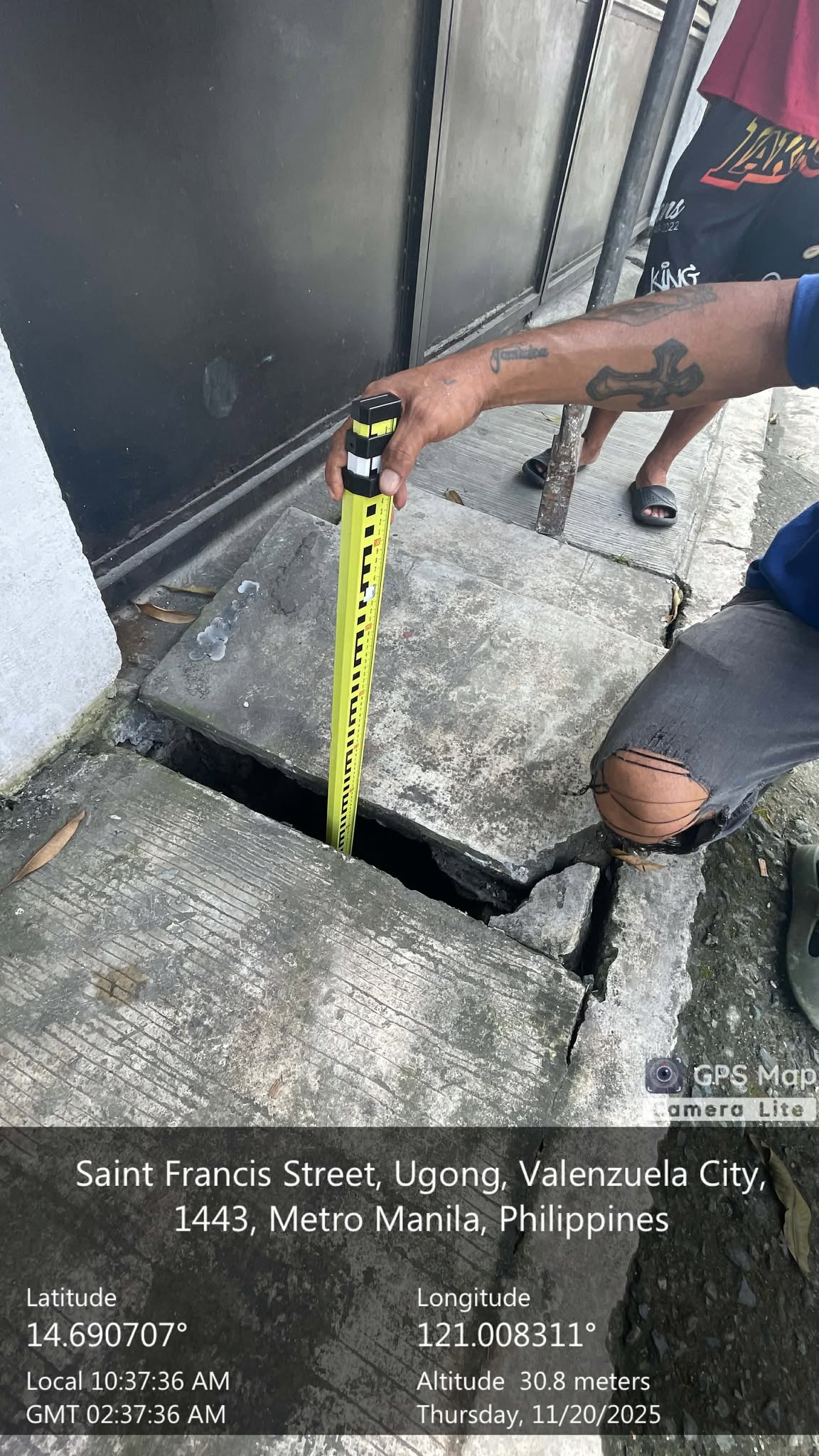
As part of Phase 1 of the project, a drainage survey was done where researchers went to the field and visited the two (2) pilot barangays, Brgy. Gen. T de Leon and Brgy. Ugong. The drainage survey is important in establishing a reliable baseline data of the existing drainage infrastructure in the pilot barangays. These surveys will document the existing drainage system and identify flood-prone areas resulting from inadequate drainage systems and structures, including shallow or clogged canals, undersized pipes, and disconnected networks. The presence and condition of inlet structures, drainage pipes, and outfalls were also evaluated.
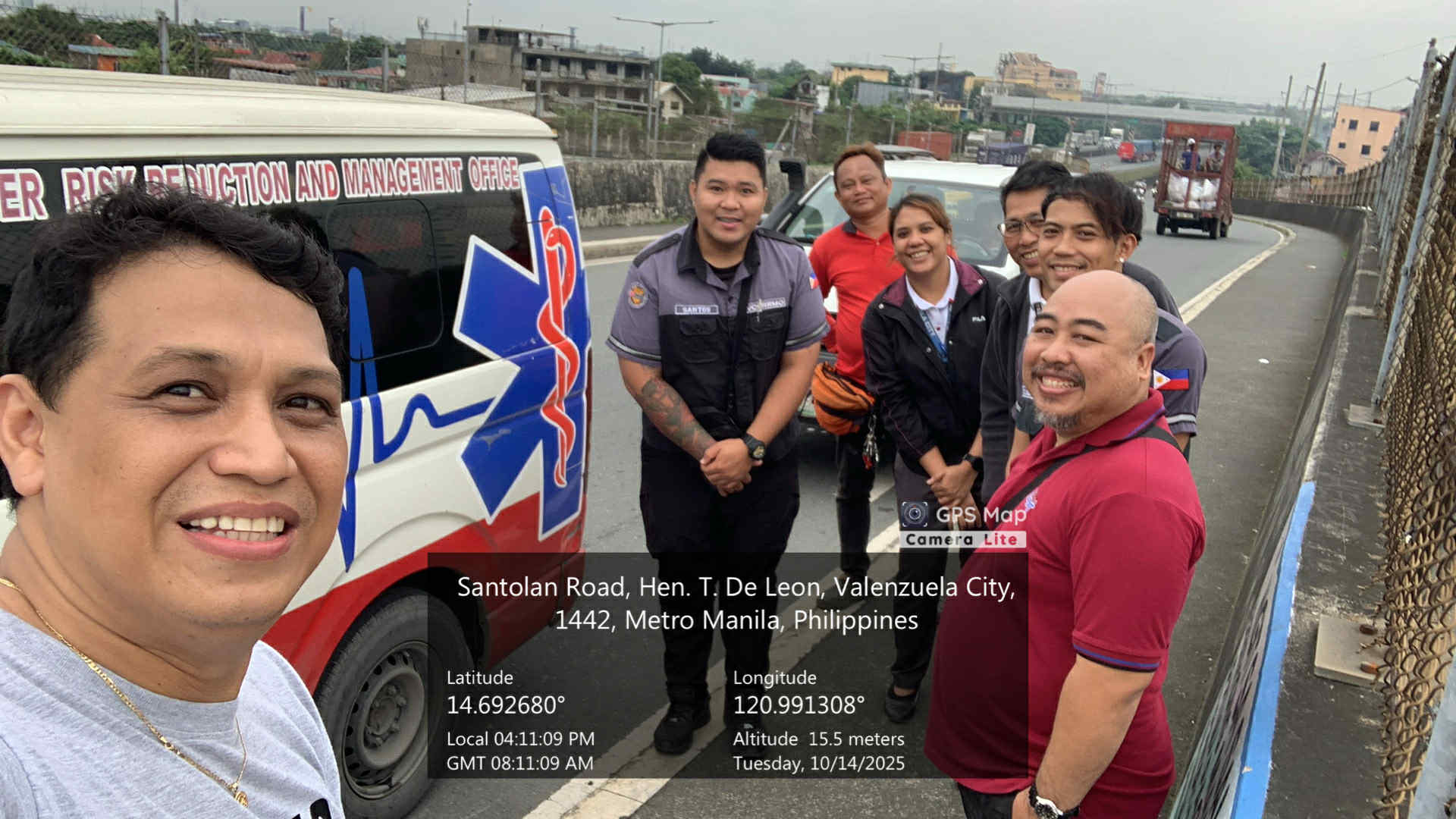
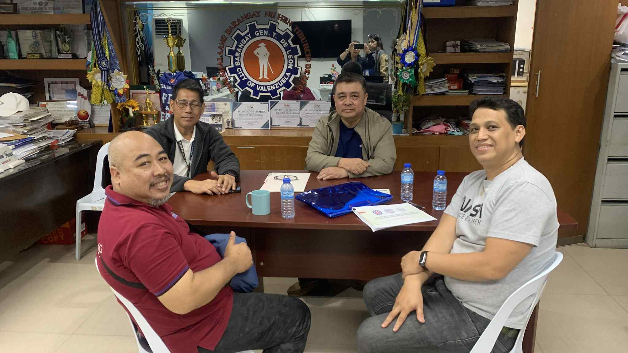
Valenzuela City Engineering Office, Valenzuela City Disaster Risk Reduction and Management Office (VCDRRMO), Flood Control Division (FCD), and Brgy. Ugong and Brgy. Gen. T. de Leon officers and representatives took a great part in coordinating locally and assisting the UP RI team for a smooth implementation of the field survey activities.
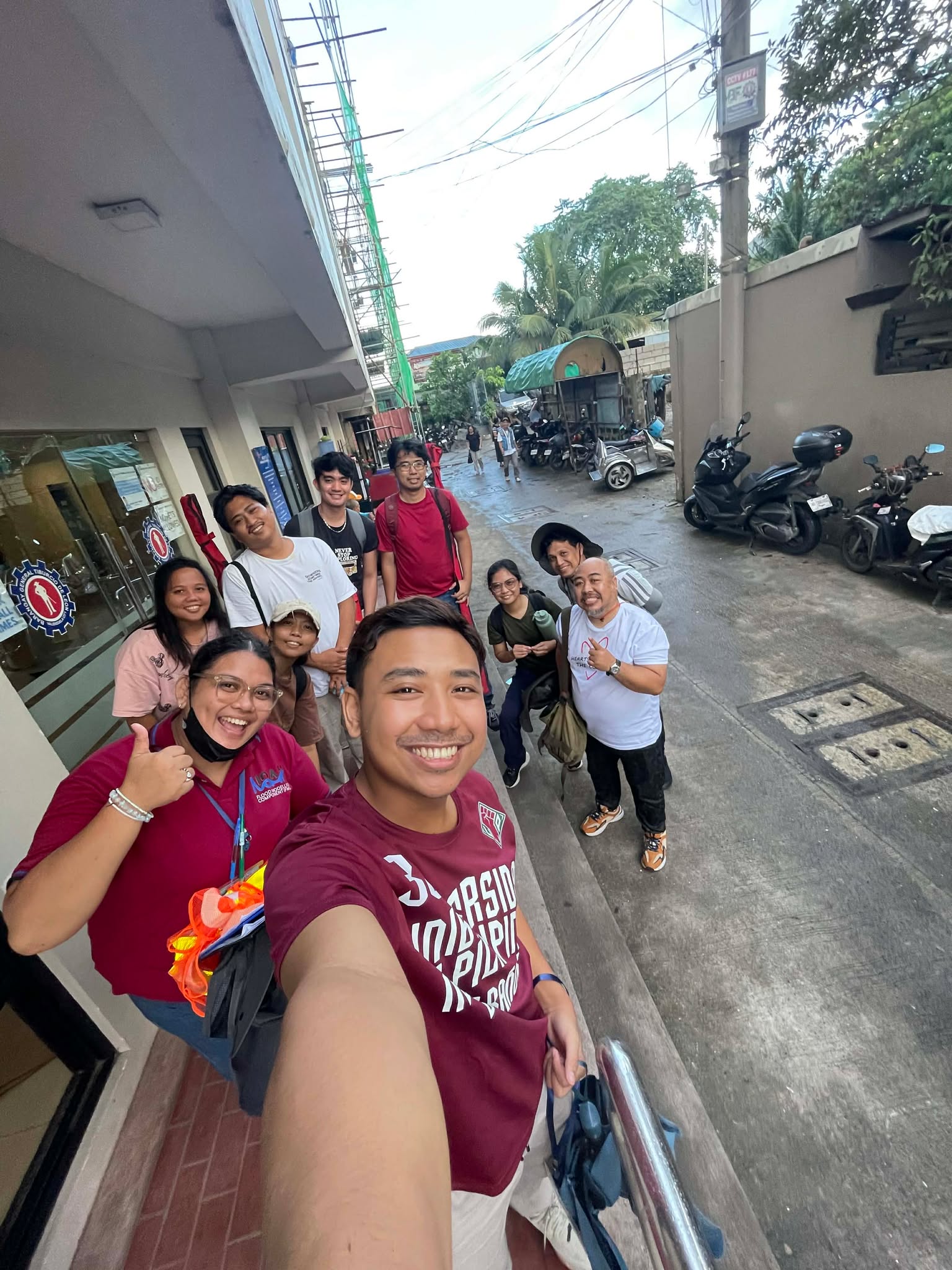
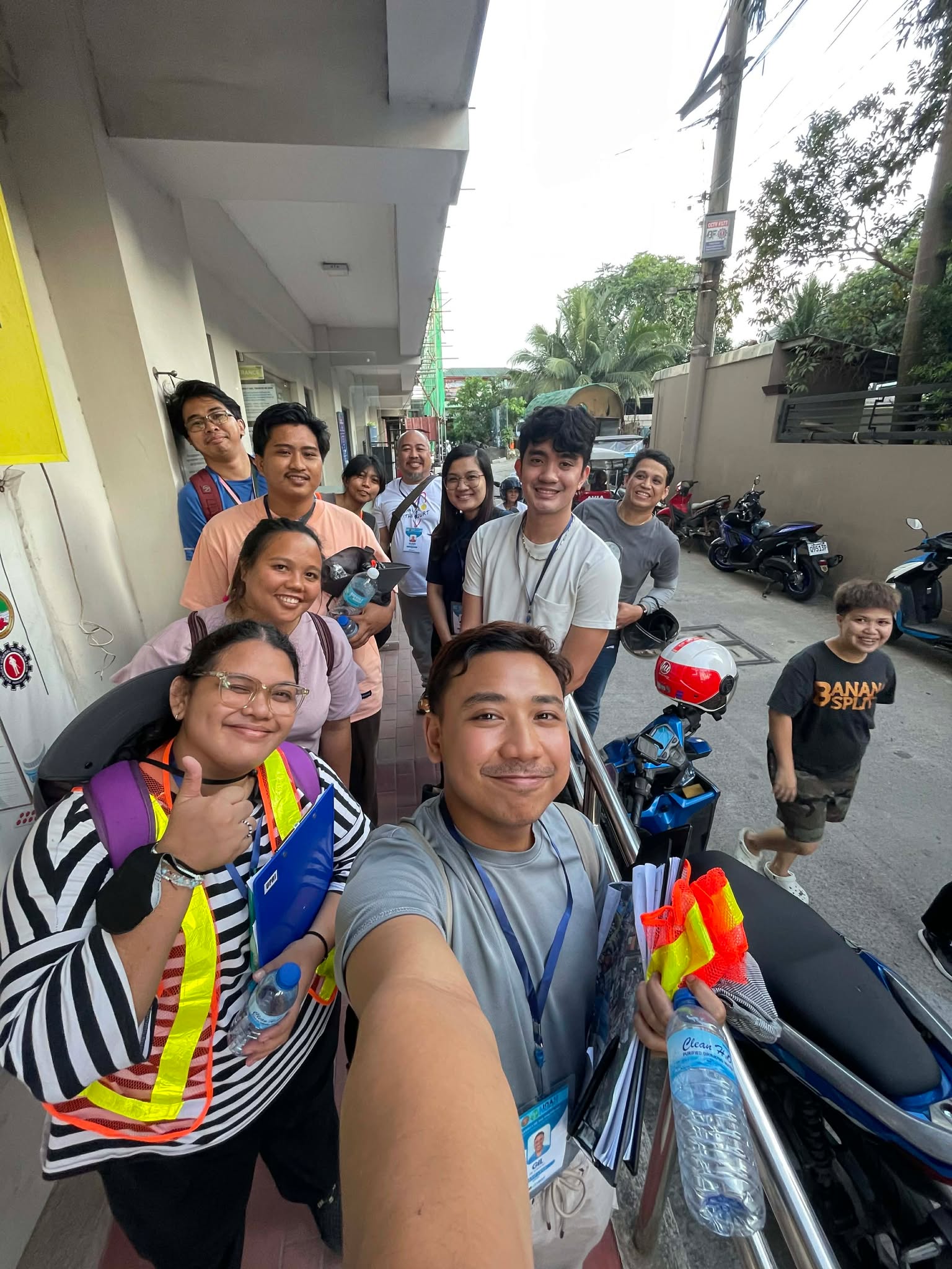
Marc Moises, Glenn Sabio, Steffanie Chua, Leony Timbal, Dino Evangelista, Bianca Berdin, Ram Magdaong, Gil Lontoc, John Harold Cruz, Kate Manegdeg, and Earl Morcilla, researchers from the Flood Modelling Component (FMC), along with Kristian Audri Gabriel and Julius Obrique of the Planning Team of the UP NOAH Center, took part in the Drainage Survey that started on the 3rd week of October. The drainage survey activities continued in the first and third weeks of November, covering the rest of the areas of the pilot barangays.
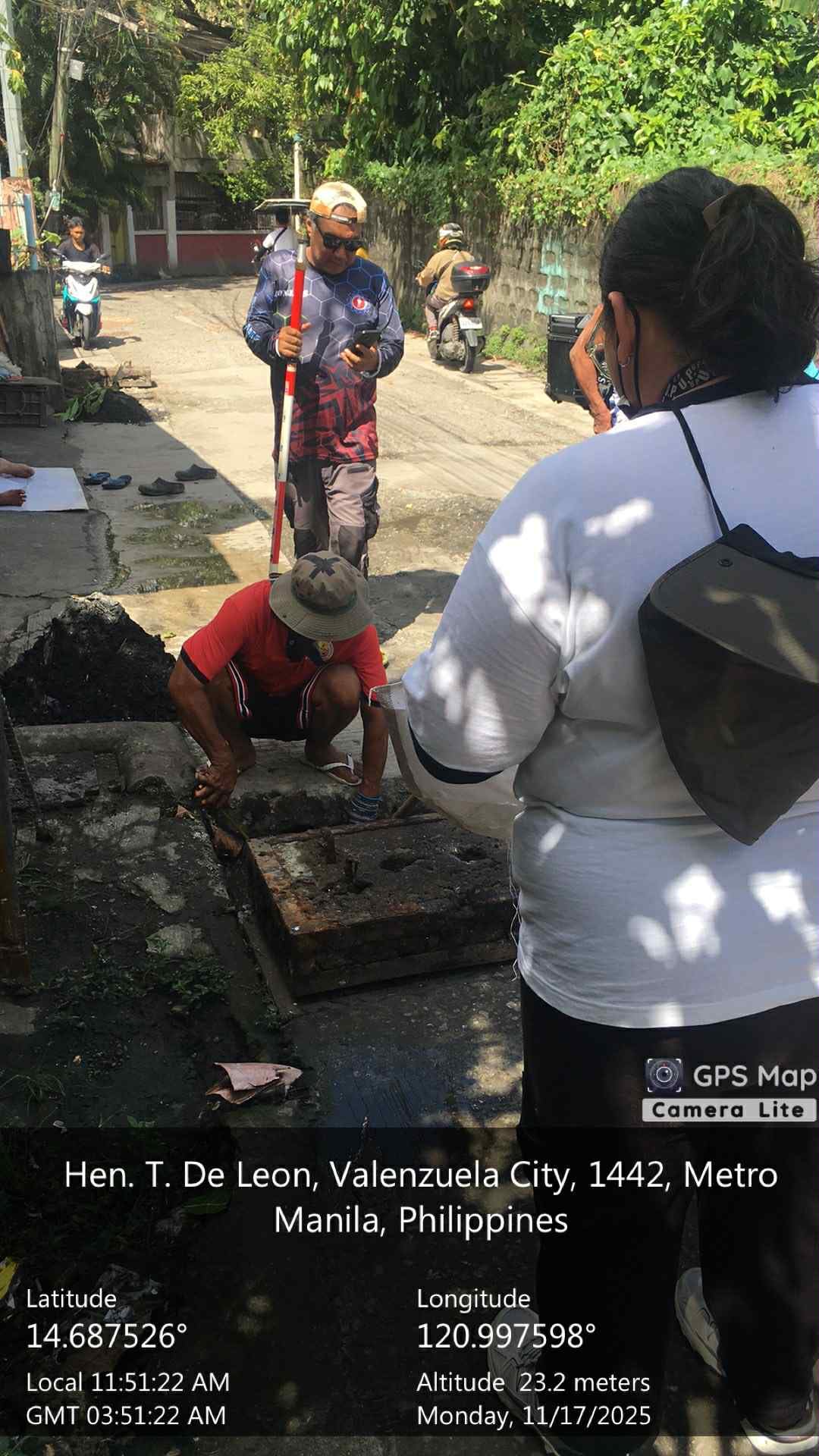
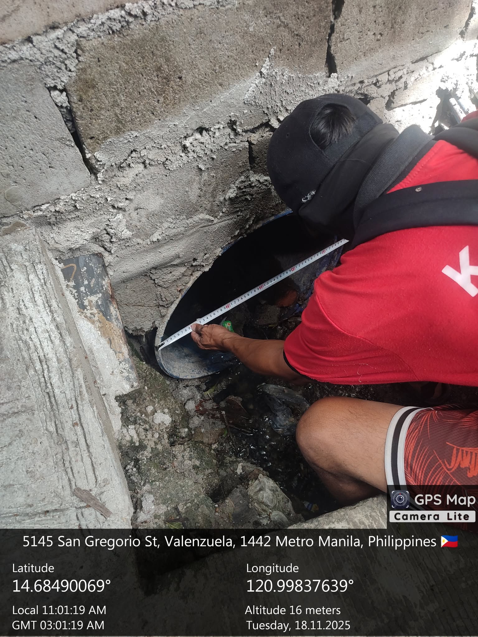
Existing data from the local government unit (LGU), such as as-built drawings, prove to be useful references for assessment; however, this may not reflect the current drainage structures’ conditions. There may be changes due to deterioration, clogging, or unrecorded modifications over time. The drainage survey provides an opportunity to verify structural dimensions and evaluate the present state of the drainage system. The output from the survey activities will then be used to validate the existing drainage data of the city.

Combined drainage data from the field survey and all other existing drainage data from the LGU will be used in developing a GIS-based drainage inventory database and in creating hydraulic models. These models will be used to simulate drainage flow, estimate system capacity under varying rainfall conditions, and identify priority areas for improvement.