The UP Resilience Institute (UPRI), in partnership with the UP Department of Industrial Engineering and Operations Research, recently conducted a comprehensive street-level image collection effort in Baguio City under the project ABRRAM (A development of Basic Resource Recognition and Allocation Model for Disaster Response and Planning).
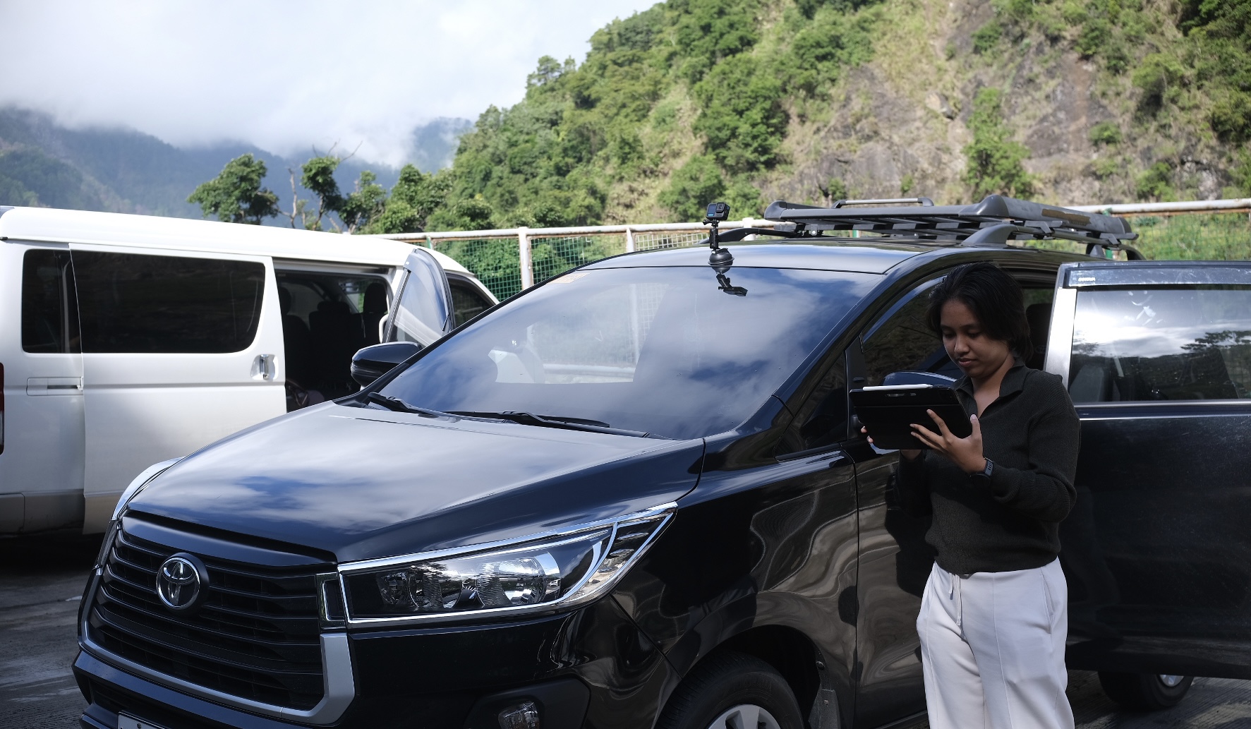
Using action cameras and the Mapillary platform, a tool that collects street-level imagery and automatically detects map features, the team captured high-resolution images across major roads in Baguio City. These images will be used to update the city’s geospatial data on critical facilities, support the improvement of disaster preparedness strategies, and train computer vision models to automatically detect structures such as hospitals, schools, evacuation centers, and key infrastructure. As an OpenStreetMap-integrated platform, Mapillary helps enhance open data ecosystems by contributing imagery and derived features that support mapping and urban resilience efforts.
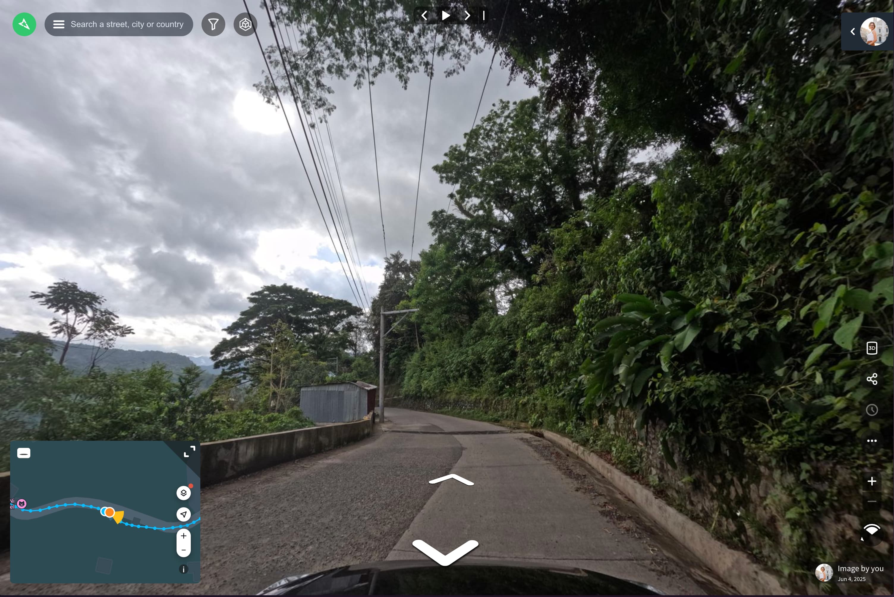
The idea takes inspiration from how Mapillary detects street signs using computer vision. Building on this capability, ABRRAM explores how similar approaches can be applied to disaster resilience – using AI to identify disaster-relevant infrastructure and develop tools that help local governments and planners respond faster and more effectively in times of crisis.
Through this effort, UPRI continues to demonstrate how low-cost tools and open data can come together to make cities safer and more resilient.