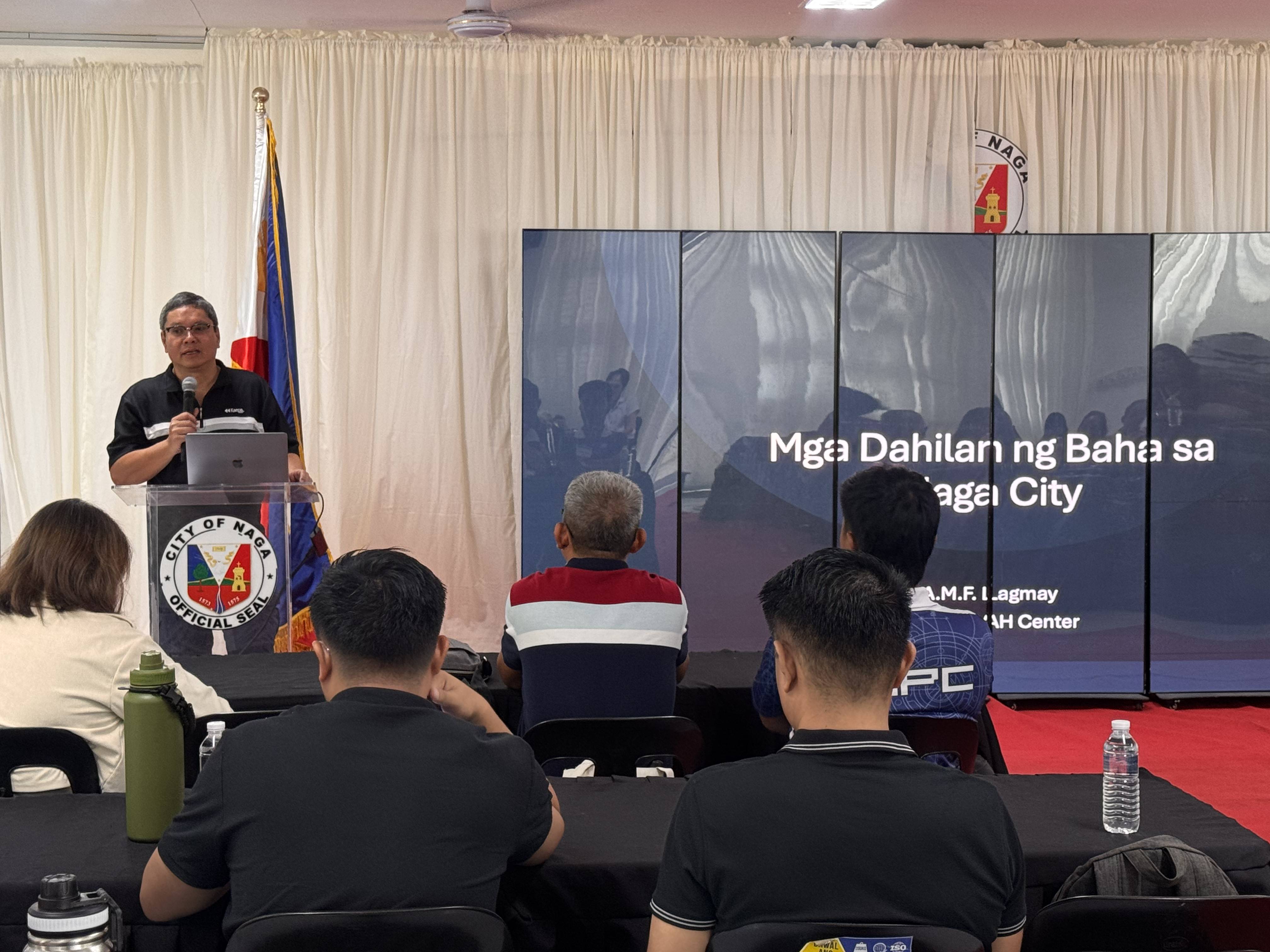
The UPRI-NOAH Center visited Naga City to conduct a two-day engagement aimed at capacitating local stakeholders on flooding and disaster preparedness. The initiative, hosted by the City Government of Naga, brought together the academe, students, local government agencies, and barangay officials to deepen their understanding of flood hazards and to introduce tools that can support their operations. The sessions were also joined by Hon. Leni Robredo, whose presence underscored the importance of strong local leadership in disaster resilience, and featured a comprehensive presentation by UPRI Executive Director, Dr. Alfredo Mahar Lagmay, on the river systems and topography of the Bicol region and how these influence flooding in Naga City.

Understanding Naga’s Flood Risks
Naga City, like many urban centers in the Bicol Region, is highly vulnerable to flooding. During the sessions, Dr. Lagmay emphasized how interconnected river systems across the region influence flood behavior within the city. He also highlighted recent extreme events, noting that rainfall from Typhoon Kristine in 2023 exceeded that of Typhoon Ondoy in 2009. Despite this, it did not even match the 100-year rainfall return period often used as a design benchmark, underscoring the need to prepare for events that can surpass even “worst-case” scenarios.
Introducing Science-Based Tools
The NOAH team introduced the NOAH website and the Impact-Based Flood Forecasting System, which provides localized, accessible hazard information and weather-related data that can be used for disaster preparedness. While not all participants had previously engaged with these tools, feedback confirmed their potential use in local disaster risk reduction and management operations.
Stakeholders also confirmed that the flood-prone areas identified in the models were consistent with their experience on the ground. However, they noted that during Typhoon Kristine, flooding reached higher levels than those shown in the models. This is understandable, as the current flood hazard maps are based on a 100-year rainfall return period, while Kristine brought rainfall volumes that exceeded this threshold. The feedback highlights the importance of updating hazard models to consider more extreme scenarios and climate change-adjusted projections.
Local Expertise and Collaboration
The sessions also underscored the value of community-based expertise. In our conversations with Mr. Mike Padua, more widely known as Typhoon2000, it became clear how much local knowledge contributes to Naga’s disaster preparedness. For years, he has provided the city with reliable weather and rainfall monitoring, supporting local operations and complementing formal forecasting systems. His on-the-ground expertise, together with that of other local practitioners, strengthens Naga’s preparedness and response capabilities-highlighting the importance of collaboration between local knowledge and scientific data.
Moving Forward
UPRI NOAH’s engagement in Naga City illustrates how scientific initiatives can support local governments in building resilience. By combining updated scientific models, accessible forecasting tools, and strong local partnerships, local government units are better equipped to protect communities against increasingly extreme weather events. The experience in Naga demonstrates that resilience is not only about data and models, but also about proactive leadership and sustained collaboration between academia, scientists, and local governments.