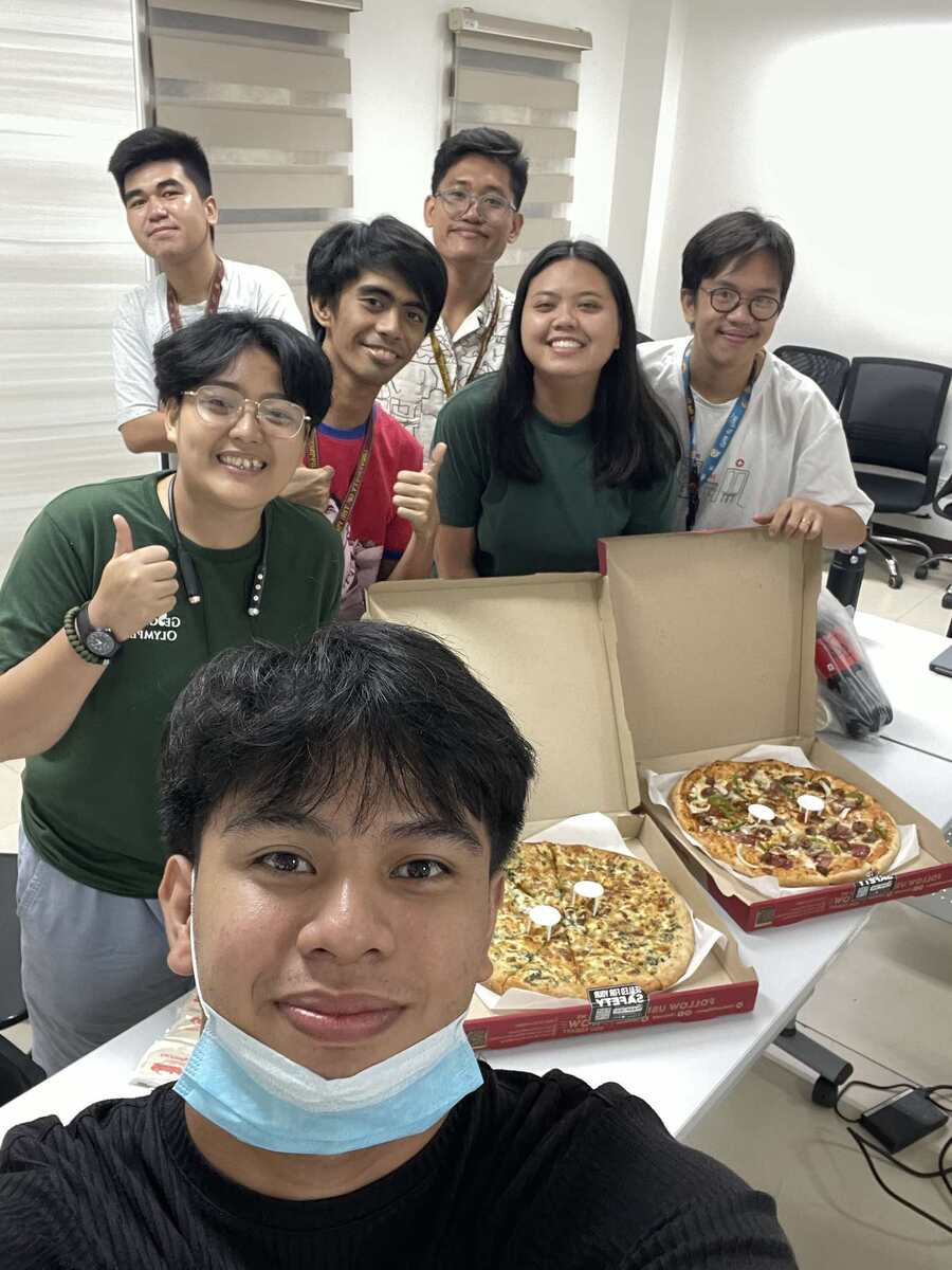
For the second year in a row, UPRI YouthMappers proudly joined universities around the world, including Hitotsubashi University, Reitaku University, the University of California, Los Angeles (UCLA), MapTime Los Angeles, and the University of Southern California, in commemorating International Humanitarian Mapathon Day through a two-day mapping event that highlights the role of open geospatial data in addressing humanitarian challenges.
The first day kicked off with the launch of the Map Challenge: Mapping Human Stories, where students were introduced to the theme of visualizing humanitarian crises. Participants were tasked to map recent disasters from the past year, whether natural (e.g., earthquakes, floods, wildfires) or human-made (e.g., conflicts, displacement, refugee crises). Their mission is to create visually compelling maps or applications that reveal the risks communities face, their resilience in adversity, and their pathways to recovery.
Participants responded with a range of creative outputs, including human story maps, disaster preparedness apps, interactive dashboards, and maps showcasing risk, impact, resilience, and recovery.
On the second day, students came together in a collaborative mapping session to digitize critical infrastructure and communities in support of real-world humanitarian projects, reinforcing our shared commitment to data for good.
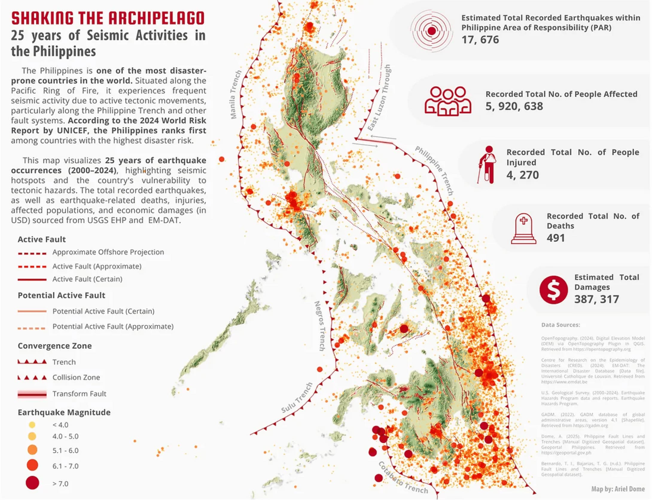
A special congratulations goes to our very own Ariel Dome, who won the Best Map Design award for his compelling entry titled “Shaking the Archipelago: 25 Years of Seismic Activities in the Philippines.” His map stood out not only for its striking visual composition but also for its ability to capture the scale, frequency, and human impact of seismic events across the country, offering a sobering reminder of the importance of preparedness and resilience in a quake-prone nation.
UPRI YM remains committed to empowering young mappers to use their skills in the service of people and communities.