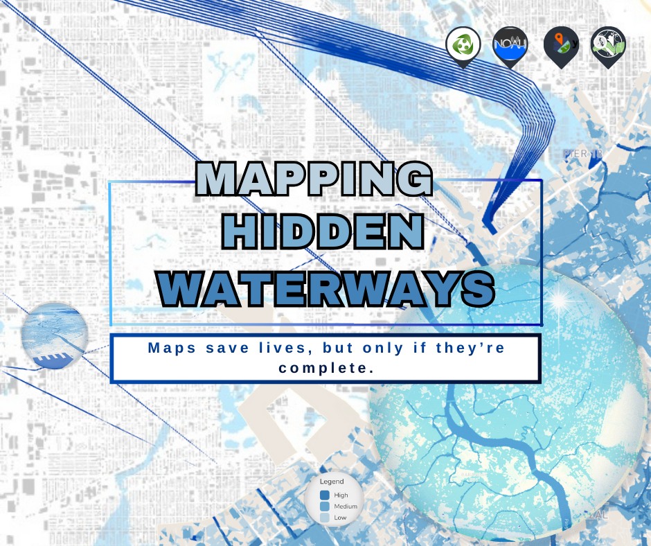
Flooding in the Philippines is often associated with extreme rainfall events. But in reality, floods are also shaped by what lies beneath—creeks, rivers, drainage lines, and waterways that determine where water flows, pools, or escapes. When these features are missing or misrepresented in maps, even the best flood models become harder to interpret and use for protecting communities.
This is why the UP Resilience Institute – NOAH Center, together with UPRI YouthMappers, officially launched the Hidden Waterways Mapping Campaign last Saturday, a crowdsourced effort to improve how waterways are mapped, making flood information more accurate, usable, and actionable.
Why this campaign matters
Flood control infrastructure—such as drainage systems, retention basins, floodways, and river improvements—depends on knowing exactly how water naturally moves across the landscape. When creeks and streams are missing from maps, they also become invisible to planners, engineers, and communities.
NOAH’s flood hazard models use terrain, rainfall, and hydrologic parameters to simulate where floodwaters will flow and accumulate. OpenStreetMap (OSM) data serve as a critical reference layer for validating and interpreting flood model outputs, especially in areas where elevation data alone cannot clearly resolve small channels or man-made waterways. When waterways are missing from base maps, it becomes harder to explain flood behavior on the NOAH website, even if the model detects flooding. Improving waterway data, therefore, strengthens how flood risk is understood, verified, and acted upon.
Using NOAH’s flood hazard layers, UPRI YouthMappers identified areas where waterways are likely to exist but need verification in OSM. These “missing waterways” are often small streams, creeks, or drainage channels that become crucial during heavy rainfall but are frequently absent from standard maps.
Together with the broader OSM-PH community, YouthMappers are now tracing these waterways using satellite imagery, local knowledge, and crowdsourced validation, ensuring that what appears on the map better reflects what exists on the ground.

One shared goal, two complementary approaches
This initiative builds on momentum already growing within the mapping community. Last December, OSM Philippines also raised concerns about flood control and missing waterways, calling on mappers to focus on rivers, creeks, and drainage features. When YouthMappers and OSM Philippines volunteers met during the campaign launch, both groups recognized that they were working toward the same goal—just from different starting points.
OSM-PH introduced its MapRoulette-based waterway campaign, which focuses on validating and extending waterways from existing OSM waterway nodes, such as river endpoints, intersections, and disconnected segments, so that fragmented rivers and streams can be properly connected. In parallel, YouthMappers presented a hazard-driven approach using the HOT Tasking Manager, where mapping areas are prioritized based on the NOAH flood hazard data. By the end of the session, both communities agreed to align their efforts, combining tools, volunteer networks, and strategies into one coordinated movement. YouthMappers will also test whether a hazard-based workflow yields more meaningful waterway mapping than a node-based micro-task approach.
This kind of collaboration—between scientists, students, and open-mapping communities—is what makes open data powerful.
Whether you are a student, a mapper, or someone who simply cares about floods in your community, you can take part. You do not need to be an expert—only willing to look at a map, trace a waterway, and help make the invisible visible.
Join the campaign now!
- https://tasks.hotosm.org/projects/39408
- https://tasks.hotosm.org/projects/39540
- https://tasks.hotosm.org/projects/39541