From December 15 to 18, 2024, UP Resilience Institute YouthMappers (UPRIYM) participated in the Free and Open Source Software for Geospatial (FOSS4G) Asia conference in Bangkok, Thailand. This event brought together professionals, researchers, and enthusiasts from the geospatial community across Asia to explore innovations in open-source geospatial technology and its applications for societal benefit.
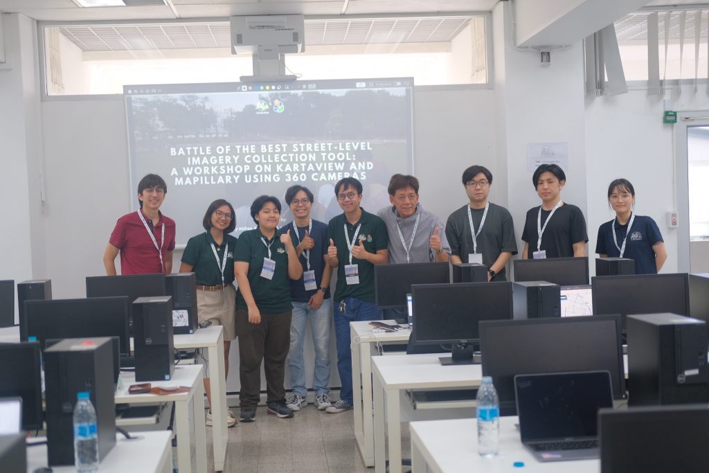
UPRIYM led a workshop on street-level image collection, showcasing how tools like Mapillary and KartaView can empower local communities to create detailed, up-to-date visual data for disaster risk reduction, urban planning, and sustainable development. The workshop, conducted by UPRIYM’s Student Leaders Kylle Valero, Ceejay Abilay, and mentor Feye Andal, emphasized the importance of community-driven mapping efforts in fostering resilience and improving local decision-making processes.
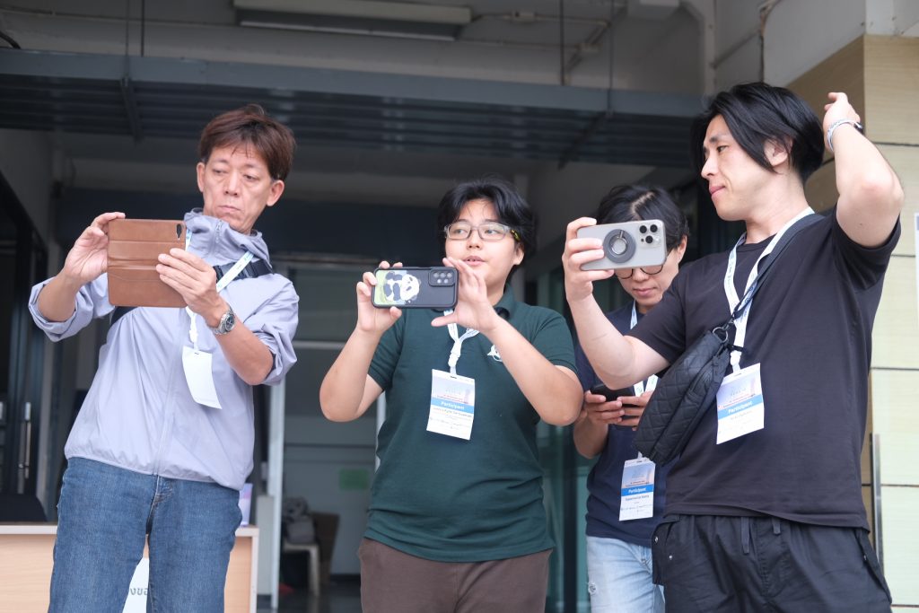
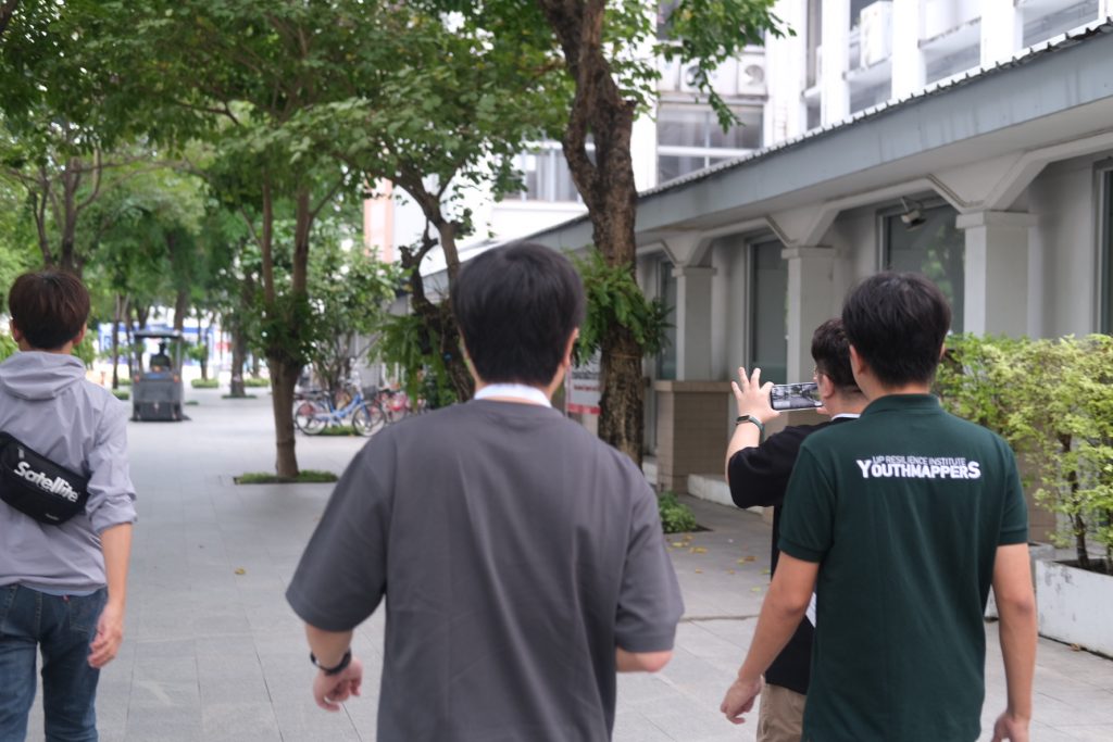
Participants were guided through the end-to-end workflow of street-level data collection, from using smartphones and action cameras for imagery to uploading and analyzing the data on both Mapillary and KartaView. The hands-on approach allowed attendees to experience how accessible and user-friendly these tools are, even for non-technical users.
By leading this workshop, UPRIYM reaffirmed its commitment to leveraging open-source technologies and community participation in building resilient societies. UPRIYM’s involvement in FOSS4G Asia 2024 reflects our dedication to knowledge-sharing and innovation, reinforcing our position as users and contributors in open-source solutions for disaster risk reduction and sustainable development. We look forward to continuing these conversations and collaborating with like-minded organizations across the region.