Posted by: NOAH Hazards Team
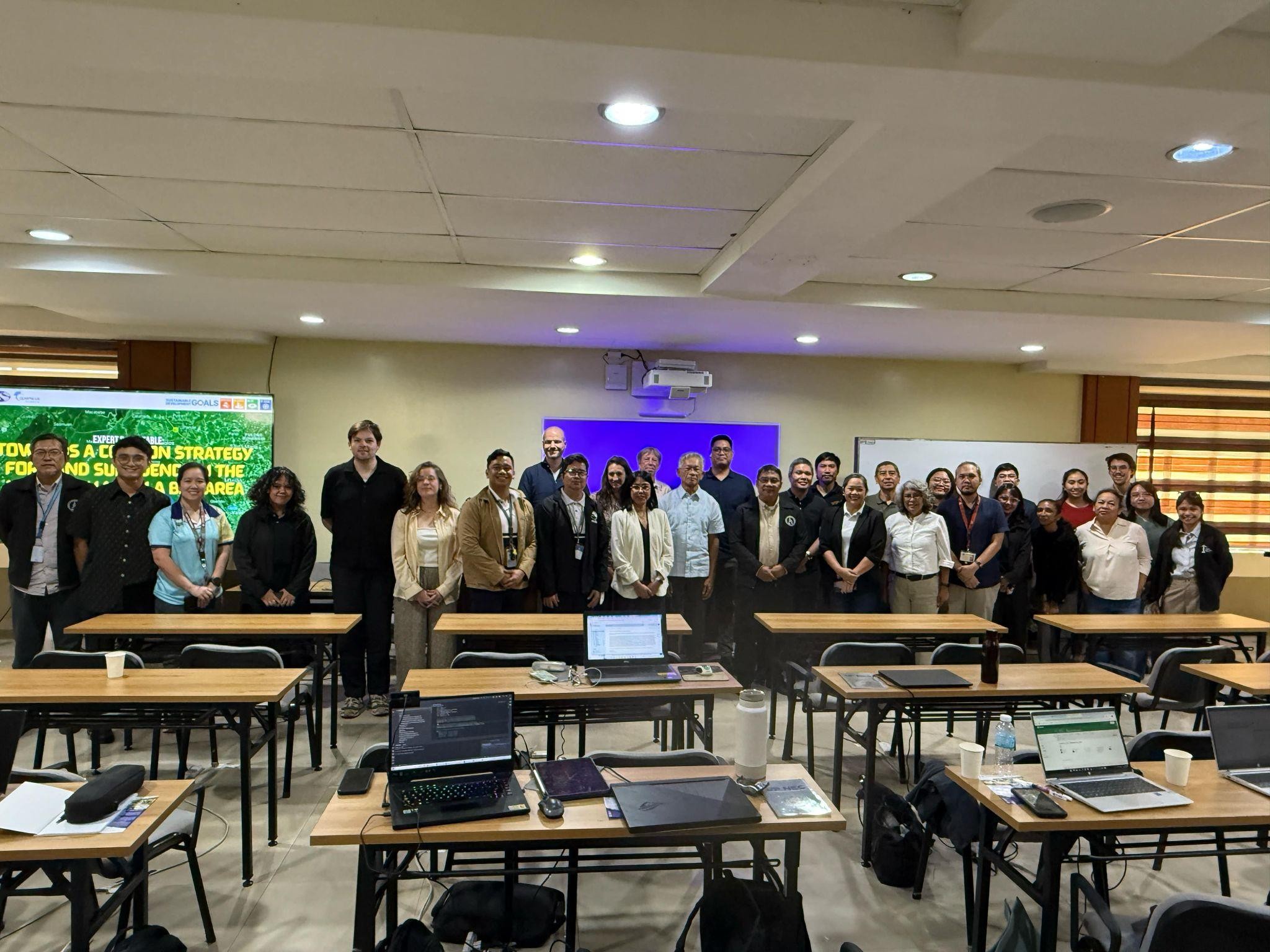
The UP National Engineering Center (UP NEC), UP Department of Geodetic Engineering (UP DGE), Philippine Space Agency (PhilSA), and the UNESCO Land Subsidence International Initiative (LaSII) through the Wageningen University & Research (WUR) of The Netherlands, convened an expert roundtable to develop a unified strategy for addressing land subsidence in the northern Manila Bay area (NMBA) at the National Engineering Complex (NEC), UP Diliman last 12 February 2025. The event aimed to enhance understanding of the current state-of-knowledge and to review past, ongoing, and future efforts regarding subsidence and relative sea level rise in the NMBA. Dr. Philip Minderhoud of UNESCO LaSII and WUR presented a global perspective on subsidence, its contributing factors, and basic subsidence mechanisms in coastal-deltaic systems worldwide. He emphasized the value of adopting strategies from neighboring countries facing similar challenges for potential application in the NMBA.
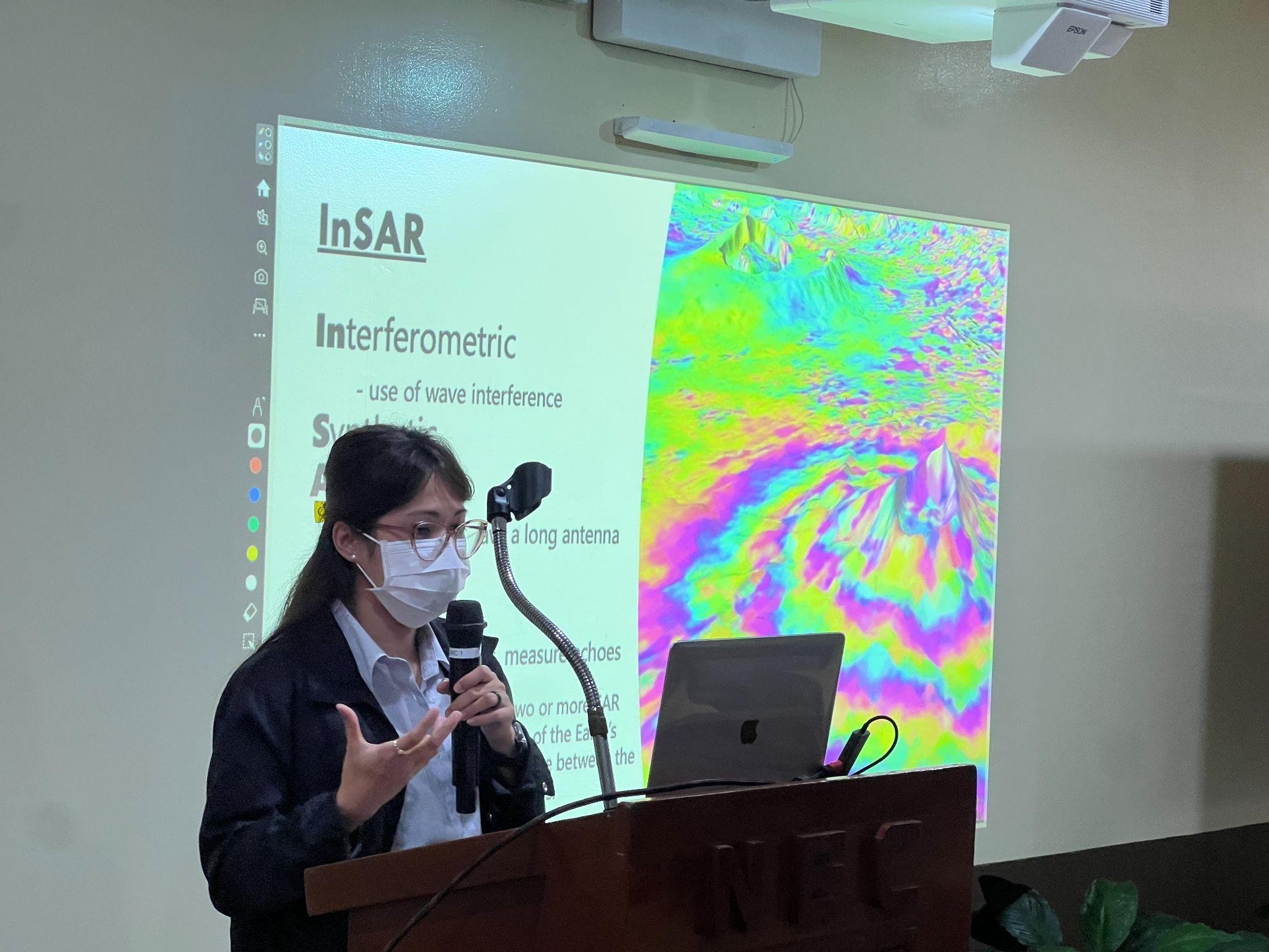
On measuring subsidence, Jolly Joyce Sulapas of UP RI NOAH Center highlighted the use of interferometric synthetic aperture radar (InSAR) for detecting millimeter-scale ground motion, sharing insights from UP RI’s 2024 subsidence study in major Philippine cities. Dr. Rosalie Reyes of UP DGE elaborated on leveling techniques and GNSS methods, detailing the status of monitoring stations in NMBA. Dr. Jace Refran of PhilSA presented findings from PSInSAR (Persistent Scatterer InSAR) analysis for subsidence in Baguio City, Greater Manila Area, and dam structures.
On the causes of subsidence, Dr. Janneli Lea Soria of UP Institute of Environmental Science & Meteorology (UP IESM) provided the geological context on why the NMBA is prone to sinking due to historical changes in the delta, rivers, and shorelines. Olaf Neussner of PhilSA analyzed land-to-water transitions in Pampanga and Bulacan using Sentinel-1 reflectance data, showcasing impacts such as submerged or abandoned structures, lost roads, and diminishing green spaces.
Participants discuss different aspects of subsidence on measurement, causes, and impacts through an intervention matrix, identifying gaps and priority actions. Key recommendations included fast tracking the modernization of the Philippine Geodetic Reference System, installation of low-cost GNSS stations for continuous monitoring and increased coverage, and addressing groundwater extraction as the primary cause. The need for greater awareness and improved stakeholder communication was also emphasized.
The participants also identified and addressed the needs, actions, and responsibilities of key sectors—media, businesses, NGOs, and government decision-makers—to tackle land subsidence. They highlighted the media’s role in disseminating impactful stories, businesses’ focus on risk and investment, NGOs’ commitment to preserving nature and livelihoods, and the government’s responsibility in creating a mitigation roadmap and raising stakeholder awareness. Coordination among these groups, supported by accessible platforms like conferences and dashboards, was deemed essential for sustained collaboration and public awareness.