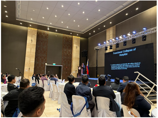
The University of the Philippines Resilience Institute (UPRI) joined healthcare workers, emergency responders, and other frontliners during the opening day of the PCGH-DEMAC 9th Postgraduate……
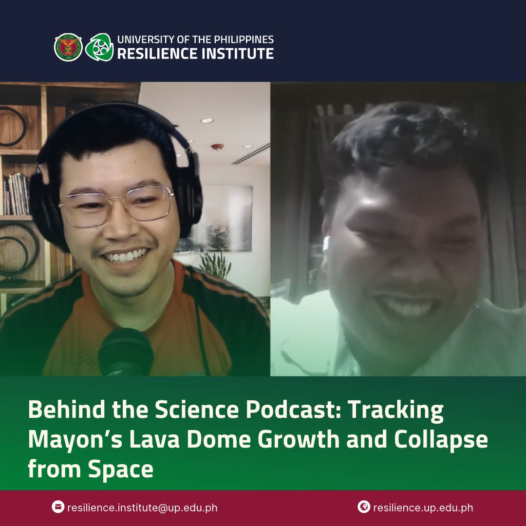
How can satellite images help scientists follow changes at the summit of an erupting volcano? In this episode of the Behind the Science Podcast, host……
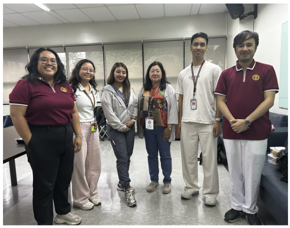
On August 1–2, 2026, four representatives from the University of the Philippines (UP) were deployed to provide Emergency Response Support during the 2026 UP College……
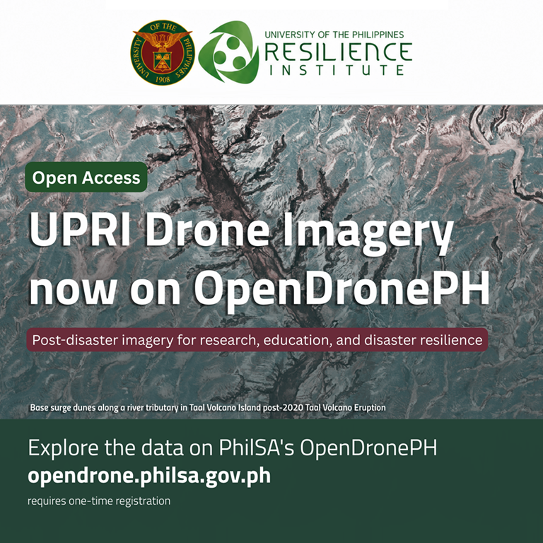
The University of the Philippines Resilience Institute (UPRI) is sharing selected imagery from its database of post-disaster drone products through OpenDronePH, the Philippine Space Agency’s……
The University of the Philippines Resilience Institute (UPRI) through the Institution Building (IB) Division conducted an Emergency Response Team (ERT) Orientation for the UP College……
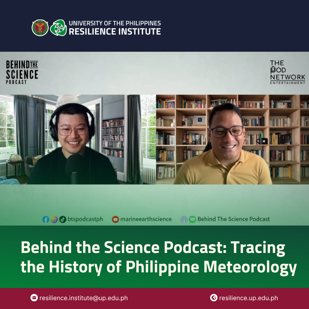
Long before satellite images, numerical weather models, and alerts delivered through mobile phones, how did scientists in the Philippines observe typhoons, warn ships, and build……
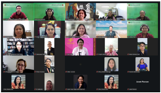
The UP Resilience Institute – Institution Building (UPRI-IB) Division, together with the UP Manila Disaster Risk Reduction and Management in Health (DRRM-H), participated in the……
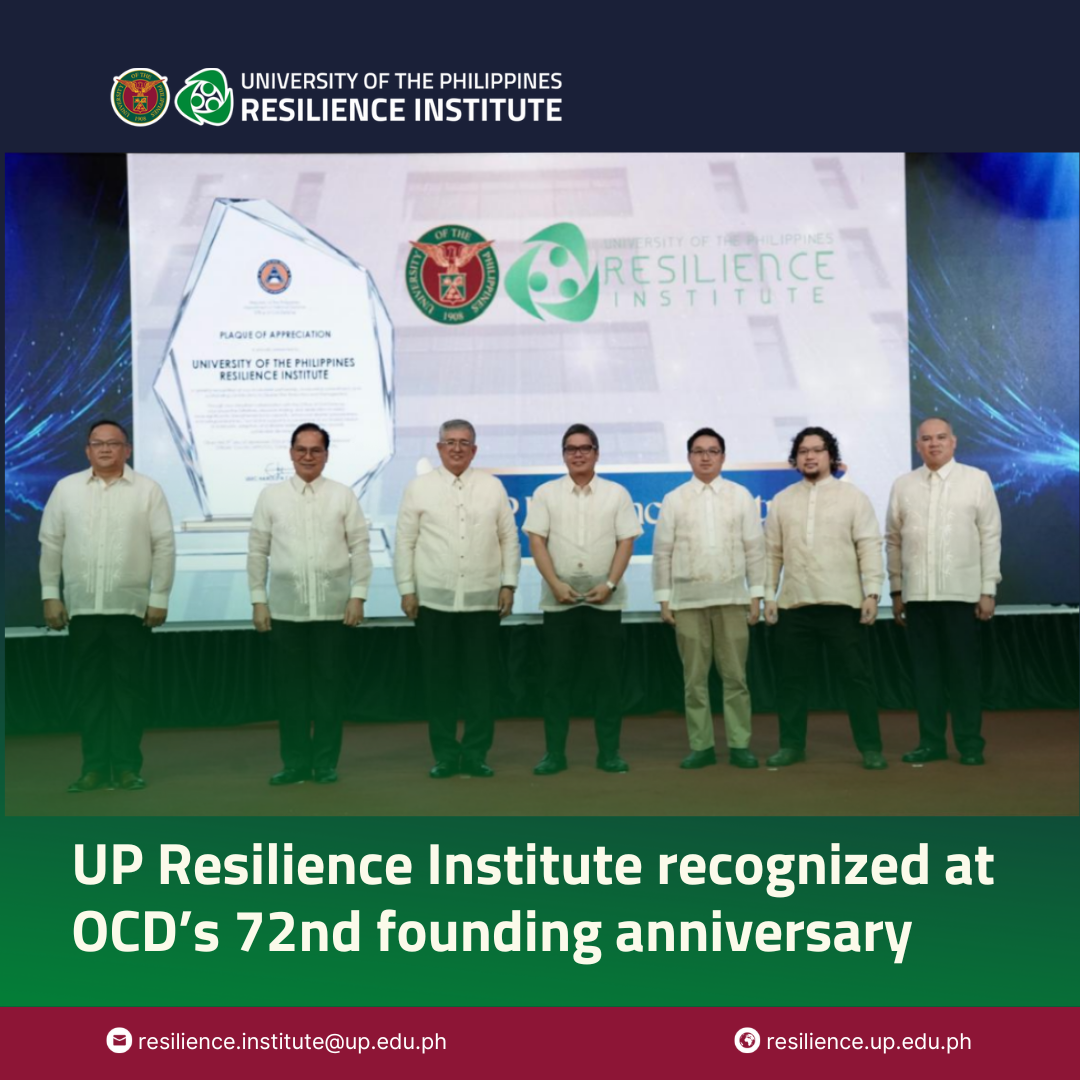
The University of the Philippines Resilience Institute (UPRI) received a Plaque of Appreciation from the Office of Civil Defense (OCD) during its 72nd founding anniversary……
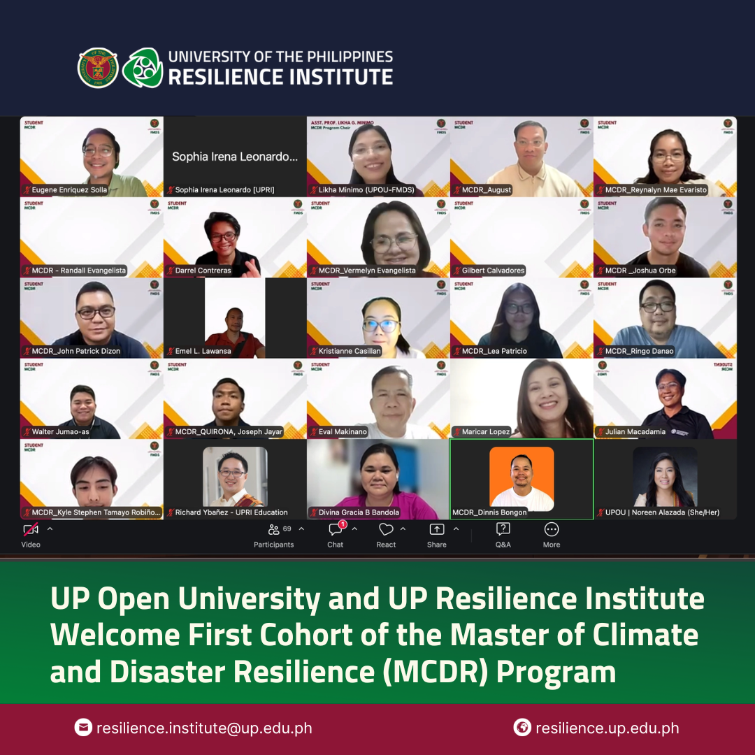
Written by Sophia Irena Leonardo (Education Division) The University of the Philippines Open University (UPOU), in partnership with the UP Resilience Institute (UPRI), officially welcomed……