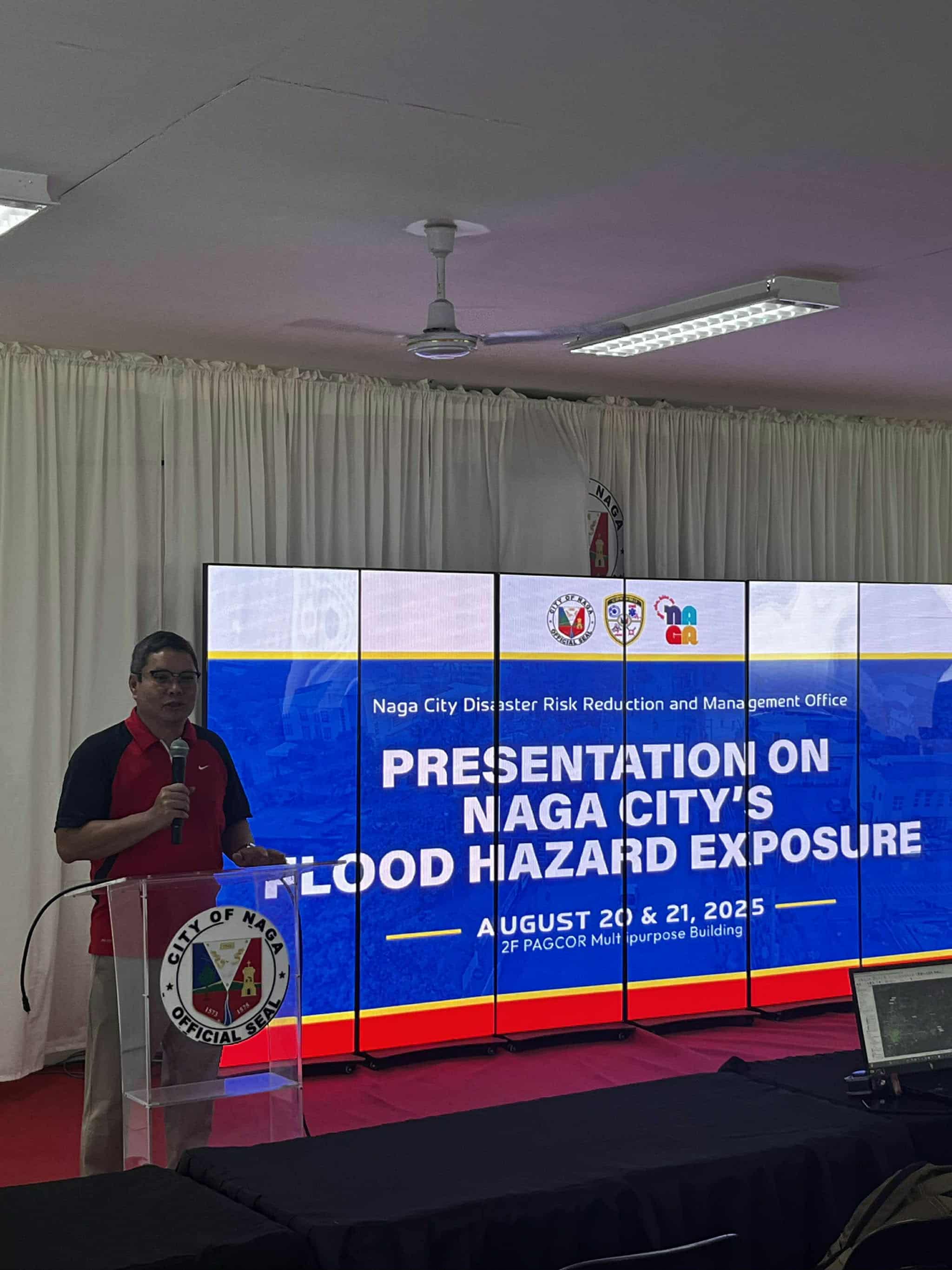
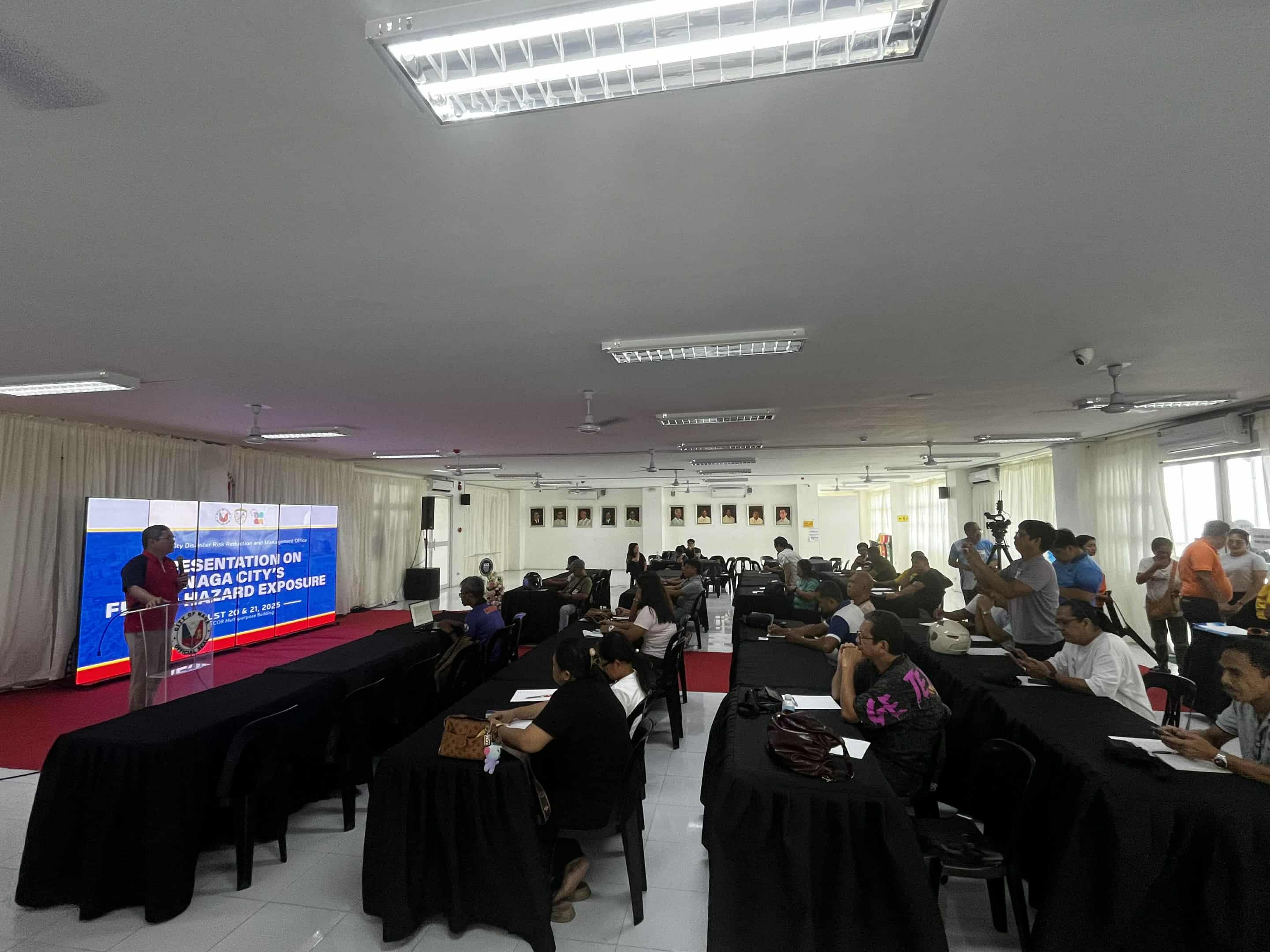
The University of the Philippines (UP) Resilience Institute (UP RI) – Nationwide Operational Assessment of Hazards (UP NOAH) Center conducted a flood validation activity for the City of Naga, Camarines Sur, on August 21, 2025. The results of the validation will be used to improve and update the UP NOAH flood models, which, along with other tools provided by the UP NOAH, can be used by barangay officials to inform their daily operations. Representatives from all twenty-seven (27) barangays of Naga City were present at the flood validation activity.
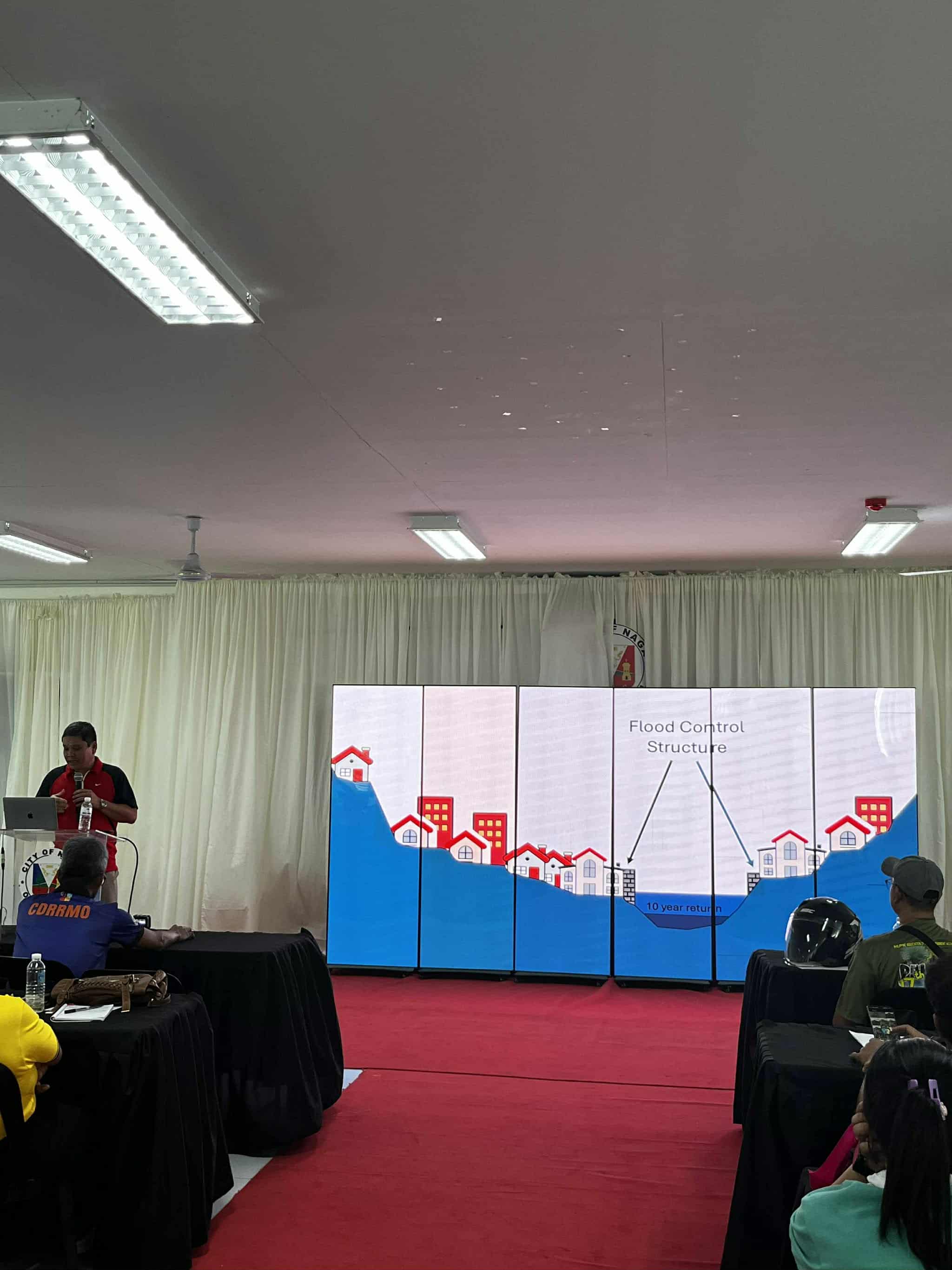
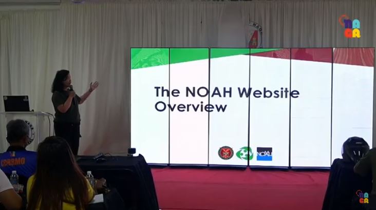
Executive Director Dr. Alfredo Mahar Lagmay explained the meaning of rain return periods and described how certain flood control structures are likely to fare under varying rainfall scenarios. He also discussed the possible effects of climate change on the weather events that the City experiences annually. He mentioned that aside from looking at main river channels such as Naga River and Bicol River, the residents of Naga City should also consider how smaller streams and creeks can affect flooding. He encouraged the consistent use of the UP NOAH Website and its new features, highlighting the importance of identifying safe areas on the map.
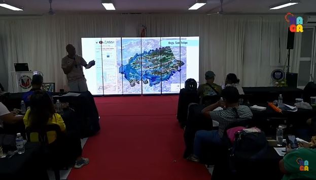
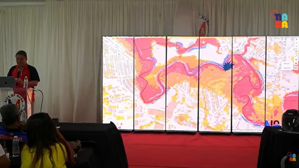
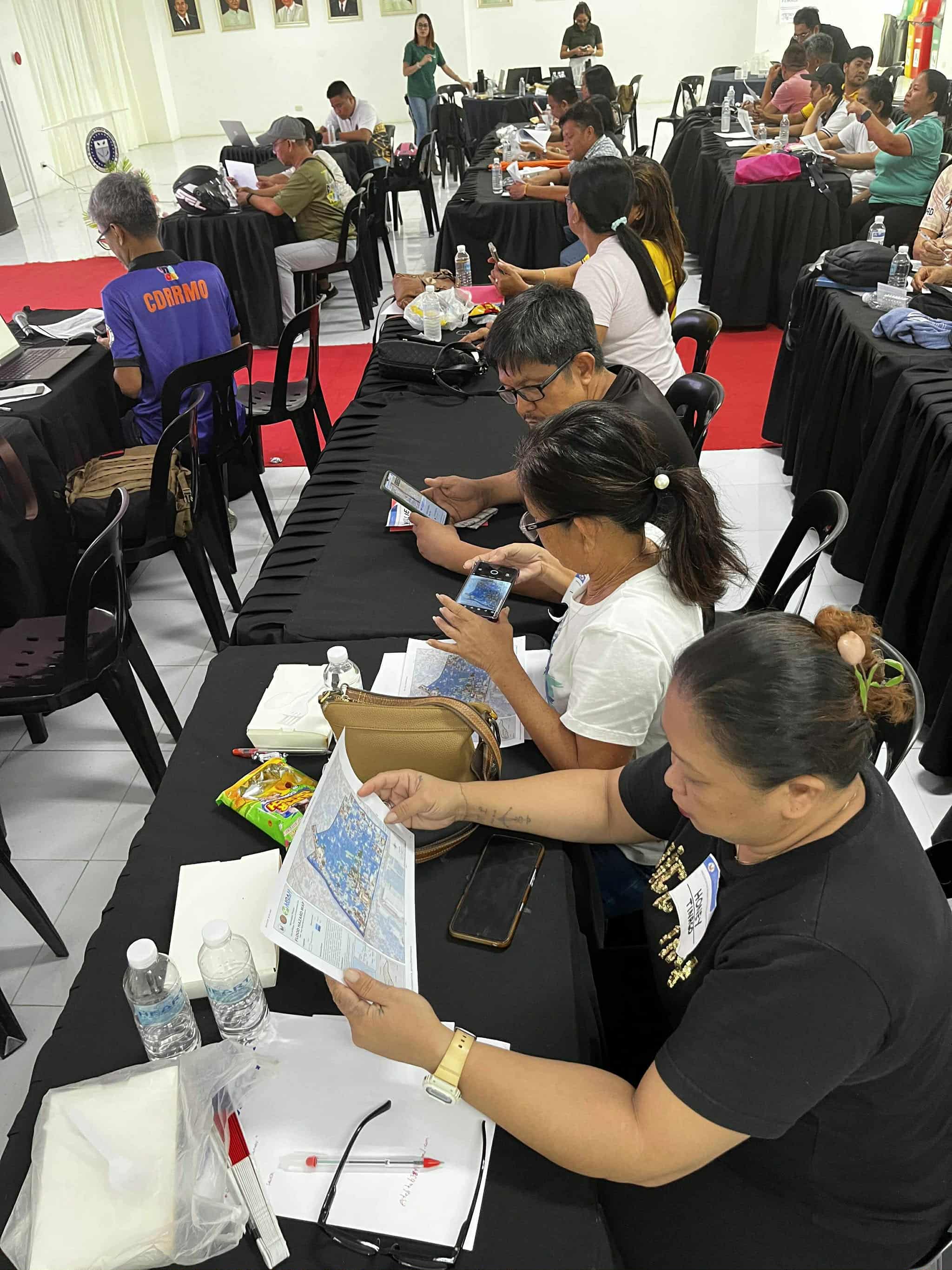
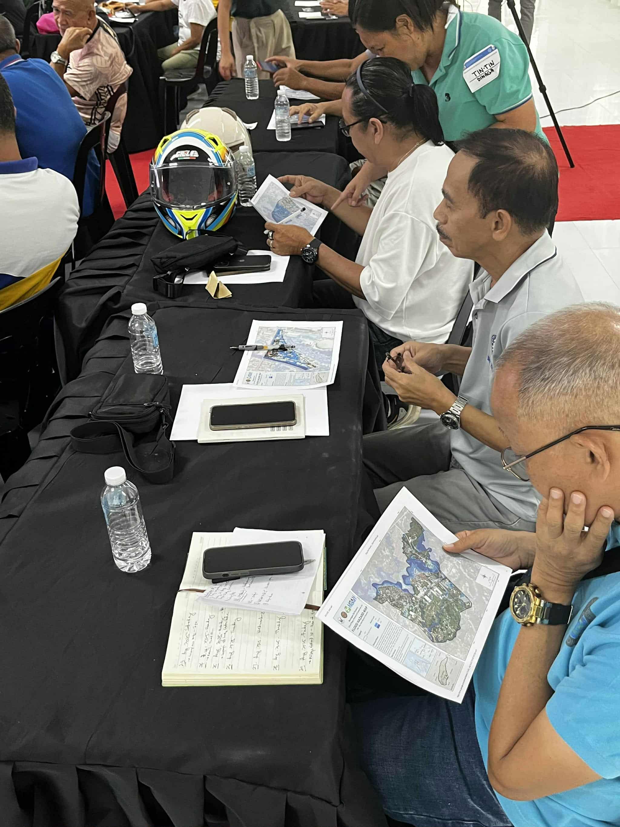
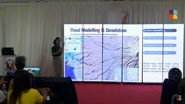
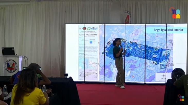
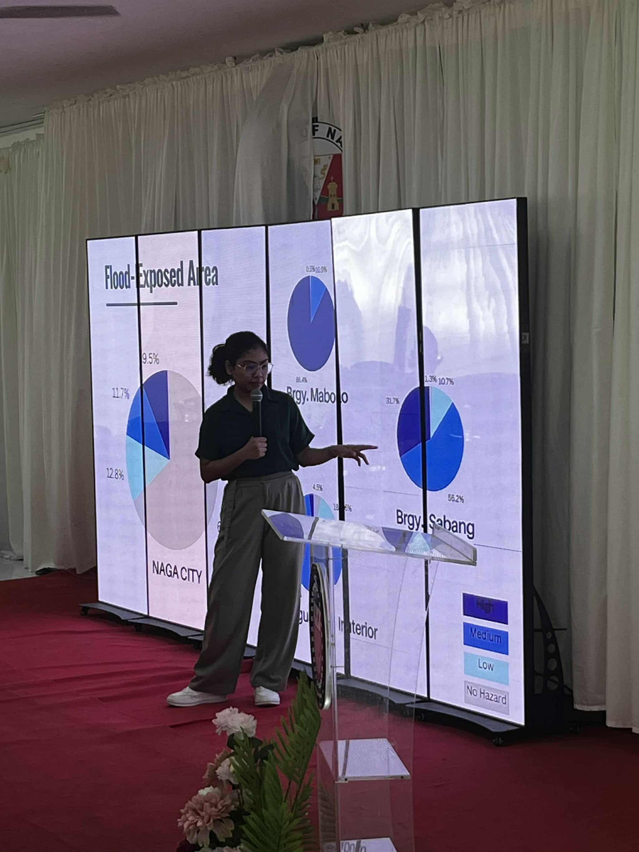
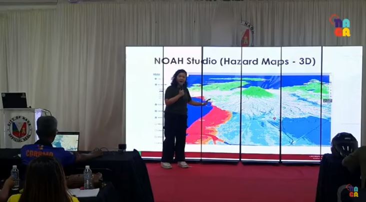
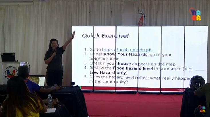
Engr. Leony Ann Timbal of the UP NOAH Center-Flood Modelling Component discussed how UP NOAH generated flood hazard maps for each of the barangays in Naga City. Ms. Dianne Bencito-Parcon then discussed some of the new features of the NOAH Website and led the participants in a quick exercise where they located their houses and checked the flood hazard levels in their areas.
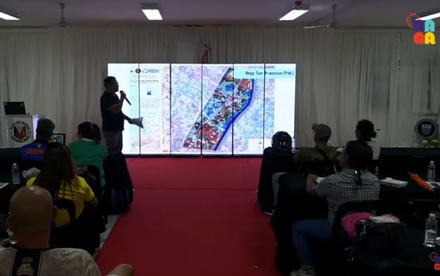
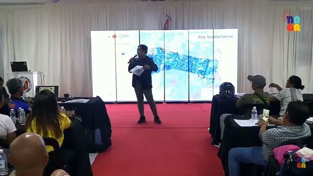
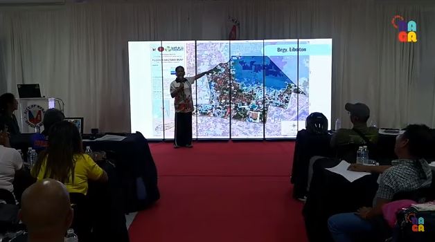
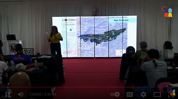
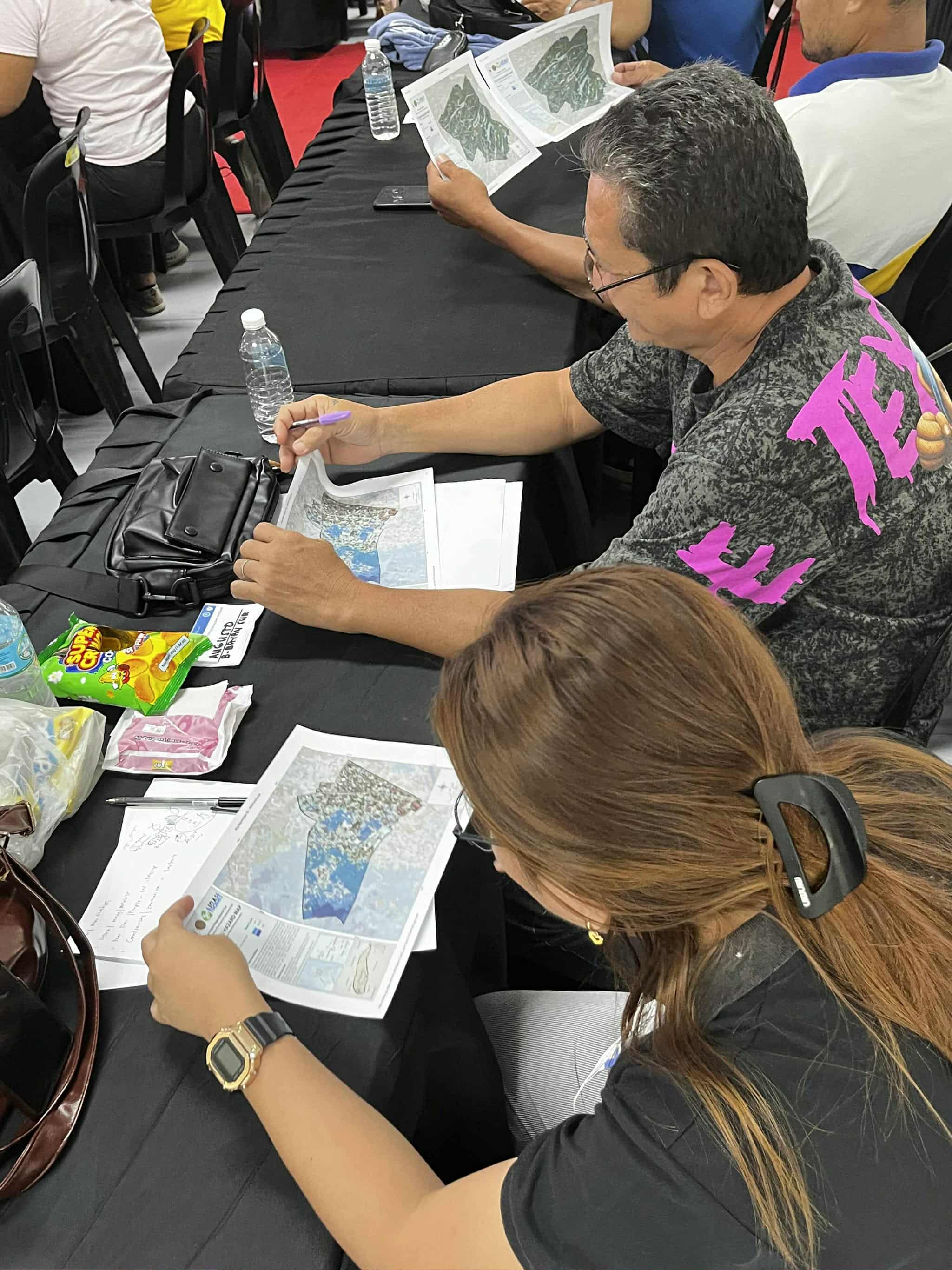
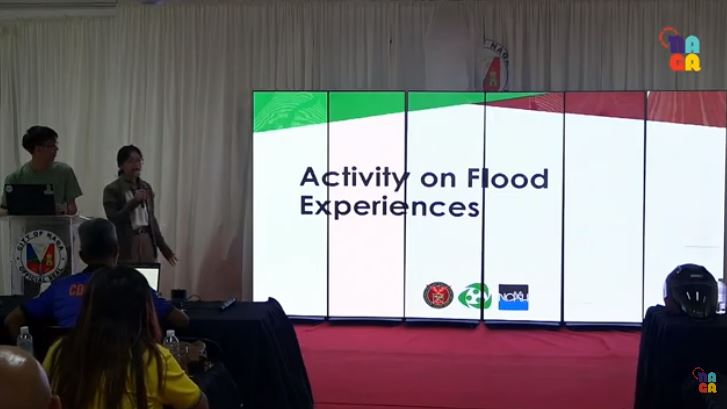
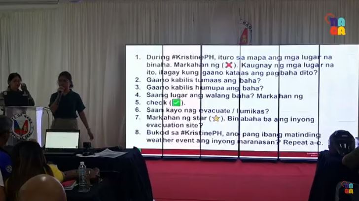
Ms. Jolly Joyce Sulapas of the Hazard Assessment Team and Engr. Timbal led the flood validation activity, assisted by WebGIS Team researchers Ms. Feye Andal, Ms. Janice Carpo-Aldea, Mr. Fritz Andal, and Mr. Kenneth Liporada. The participants were asked to recall their experiences during Typhoon Kristine last October 2024, which, with an accumulated rainfall of 737.9 mm over 24 hours, was one of the most extreme weather events experienced in Naga City in recent years. They were asked to use the UP NOAH flood hazard maps to identify places that were affected by flood, describing flood depth and duration. They also located evacuation sites and areas that had not been affected by the flood. In addition, they were also asked to recall other extreme weather events they have experienced in recent years aside from Typhoon Kristine.
Representatives from Brgy. San Francisco (Pob.), Brgy. San Felipe, Brgy. Cararayan, Brgy. Liboton, and Brgy. Igualidad Interior presented their output after the validation activity. Engr. Timbal closed the afternoon session with a discussion of Risk Index for Climate Displacement (RICD), highlighting the possible effects of flooding in the decision-making of the residents to either move, evacuate, or migrate should they continue to experience flooding along with other natural hazards present in their area.
The Naga City Government uploaded a live stream of this event via their Youtube channel. You may watch the video here: Presentation on Naga City’s Flood Hazard Exposure Day 2 | Afternoon Session