
By the NOAH Hazards Assessment Team and Education Division
The University of the Philippines Resilience Institute (UPRI), through Hazard Assessment Team and Education division, conducted a three-day drone flight and mapping training from March 10 to 12, 2026, for participants from the Provincial Government of Tarlac (PGT), the City Government of Tarlac, and Tarlac State University.
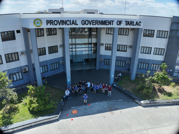
Building on a previous training conducted in August 2025, this second engagement reflects the sustained partnership between UPRI and the Provincial Government of Tarlac. The program was also extended from two to three days to allow for deeper hands-on learning and more comprehensive technical application.
The training convened representatives from a wide range of offices and units, reflecting a deliberate multi-sectoral approach to strengthening local technical capacity. Participating offices included the Provincial Environment and Natural Resources Office (PGT-ENRO), Provincial Assessor’s Office, City Planning and Development Office (CPDO), Research and Planning, Development Planning, and PGT-PEO, alongside members of the Production Team. Academic participation was led by the Center for Engineering and Environmental Research – College of Science of Tarlac State University.
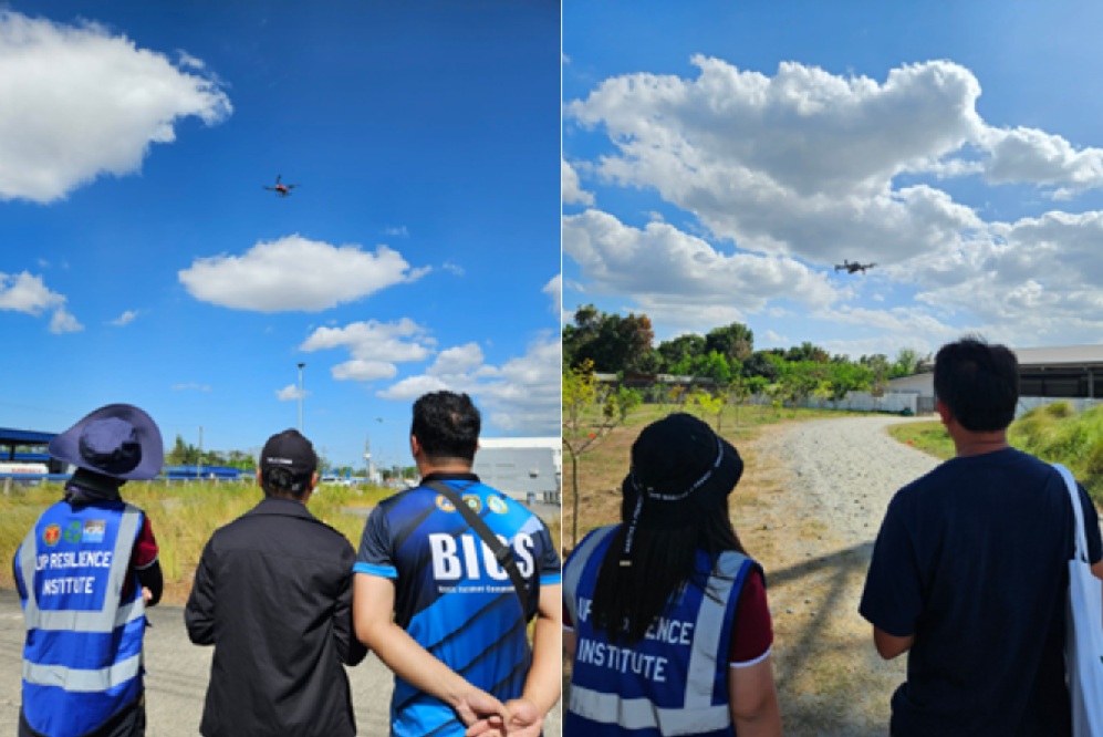
Designed as a hands-on technical capacity-building program, the training covered core competencies in drone operations, including mission planning, flight safety, and data acquisition protocols for mapping applications. Participants conducted supervised drone flights and implemented structured mapping missions aligned with real-world DRRM and planning use cases.
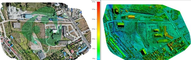
A key component of the training was the end-to-end mapping workflow, where participants processed collected aerial data to generate orthomosaics and point cloud outputs. These outputs demonstrate the practical application of drone-based surveys in supporting hazard assessment, land use analysis, infrastructure planning, and environmental monitoring.
The program achieved a 100% completion rate, with all eleven (11) participants successfully passing the training. This outcome reflects both the effectiveness of the training framework and the readiness of local institutions to operationalize drone technologies within their respective mandates.
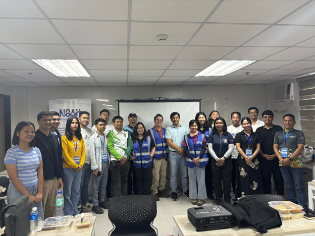
The program concluded with closing remarks from a representative of the Provincial Government of Tarlac, who reaffirmed the province’s commitment to strengthening its internal technical capacities. As one of UPRI’s earliest resilience hub partners, Tarlac continues to invest in building a new generation of practitioners equipped with advanced tools and skills. Plans for future collaborations, including GIS-focused training, were also highlighted.
By bringing together provincial and city government offices alongside academic partners, the training strengthened cross-sector collaboration and established a shared technical baseline for drone-enabled data collection and analysis. This integrated approach ensures that investments in technology are matched with institutional capacity to translate data into actionable insights.
UPRI continues to advance its mandate of equipping local governments and partner institutions with applied scientific tools and competencies. Through sustained training initiatives, the Institute supports the operationalization of drone-based mapping as a standard component of disaster risk reduction, planning, and evidence-based decision-making.