By: Ms. April Dawn Tegelan and Engr. Kristian Audri Gabriel
The island province of Batanes, known for its distinct landscapes and strong cultural heritage, faces a complex and intensifying risk profile shaped by both geologic and hydrometeorological hazards. Regularly exposed to typhoons, strong winds, storm surges, and shifting climate patterns, the province also contends with flooding, landslides, and the long-term impacts of sea level rise. These overlapping hazards, combined with its geographic isolation and limited access to resources, heighten the vulnerability of its municipalities and underscore the need for more deliberate, risk-informed planning. In response, local governments in Batanes continue to take proactive steps to strengthen resilience through approaches that combine scientific analysis with local knowledge.
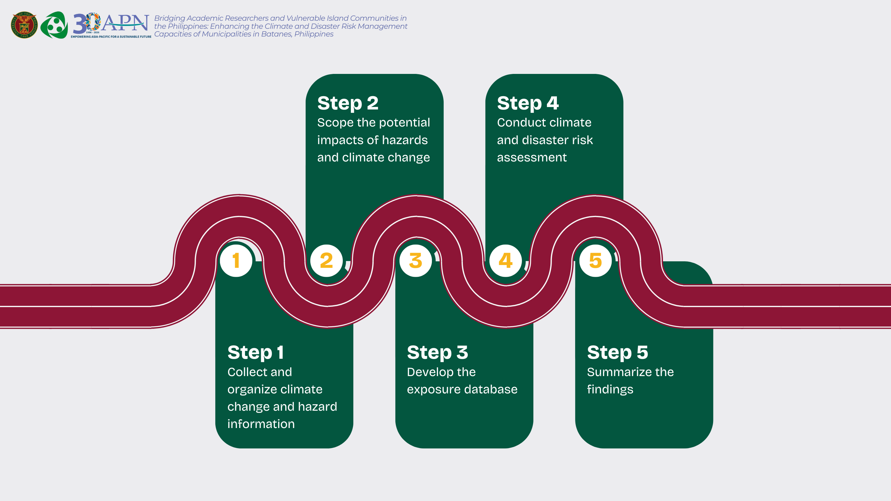
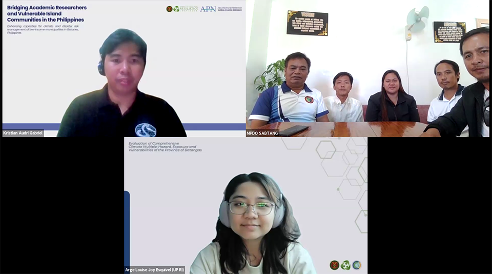
As part of these ongoing efforts under the APN Batanes Project, a series of online Climate and Disaster Risk Assessment (CDRA) validation sessions were conducted with local government units (LGUs). These sessions build on earlier capacity-building activities and serve as a critical step in ensuring that risk assessment outputs are both technically sound and grounded in local realities. During the sessions, the CDRA framework was revisited and initial assessment results were presented. More importantly, the process emphasized moving beyond presenting data toward interpreting what these risks mean at the barangay level, allowing LGUs to validate findings based on their own experiences and translate technical results into more actionable insights for planning and decision making.
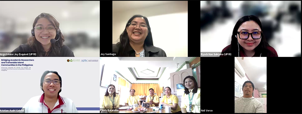
Conducted via Zoom between March 09–23, the validation sessions were held per LGU, allowing for more focused discussions grounded in each municipality’s context. Each session followed a structured flow that moved from presentation to review. The technical team first introduced the CDRA framework, explaining how risk is assessed through the interaction of hazards, exposure, and vulnerability. This was followed by a presentation of initial outputs, including hazard maps, exposure datasets, vulnerability indicators, and corresponding risk maps.
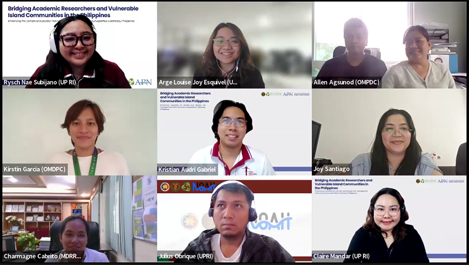
To situate these results, key climate variables such as temperature, rainfall, and sea level rise were discussed alongside hazard analyses on flooding, rain-induced landslides, and storm surges, including future projections. Historical disaster data, particularly past typhoon impacts, were also presented to contextualize the modeled results.
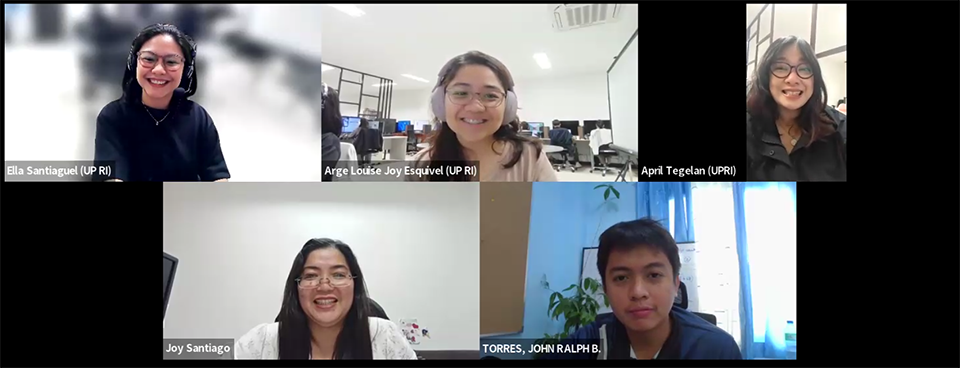
The sessions then shifted to an open forum, where participants reviewed the outputs and provided feedback based on local knowledge and experience. Discussions revolved around validating hazard extents, verifying exposure data, and refining vulnerability indicators to better reflect on-the-ground conditions.
Local Knowledge and Refining Risk Information
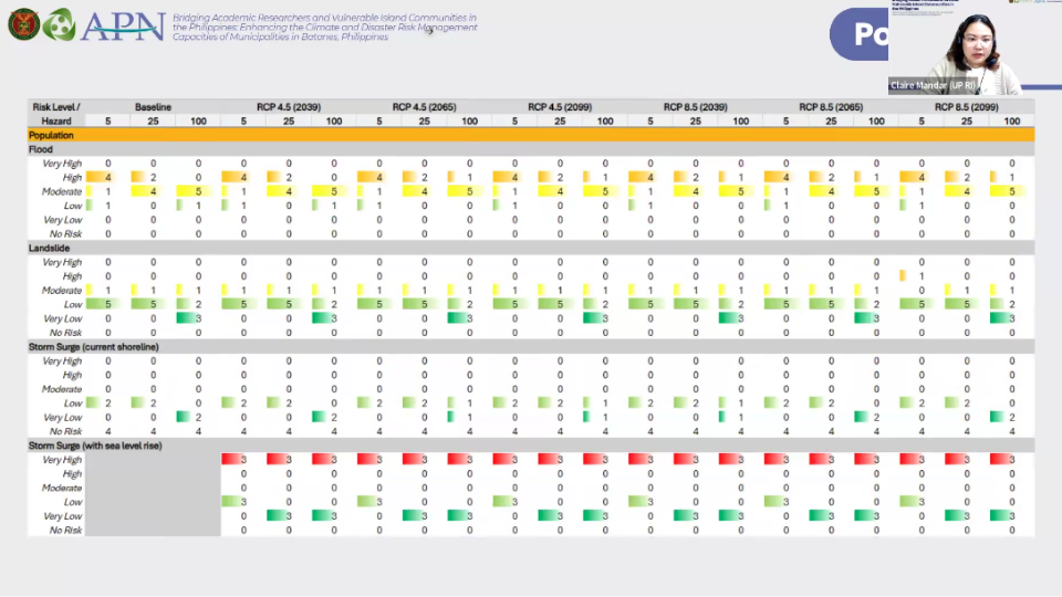
A key strength of the validation sessions was the active participation of local government unit stakeholders, including representatives from Municipal Disaster Risk Reduction and Management Office, Municipal Planning and Development Office, Municipal Engineering Office, Municipal Agriculture Office, and Municipal Social Welfare and Development Office. Their inputs provided a diverse perspective that enriched the technical analysis, identifying discrepancies in hazard maps, such as areas where flooding or storm surge impacts were underestimated or overrepresented. The range of perspectives from different offices also allowed the CDRA results to be viewed through multiple lenses, deepening the overall understanding of risk. As a result, the risk maps became more accurate and relevant for planning, giving LGUs a clearer basis for identifying priority areas and interventions.
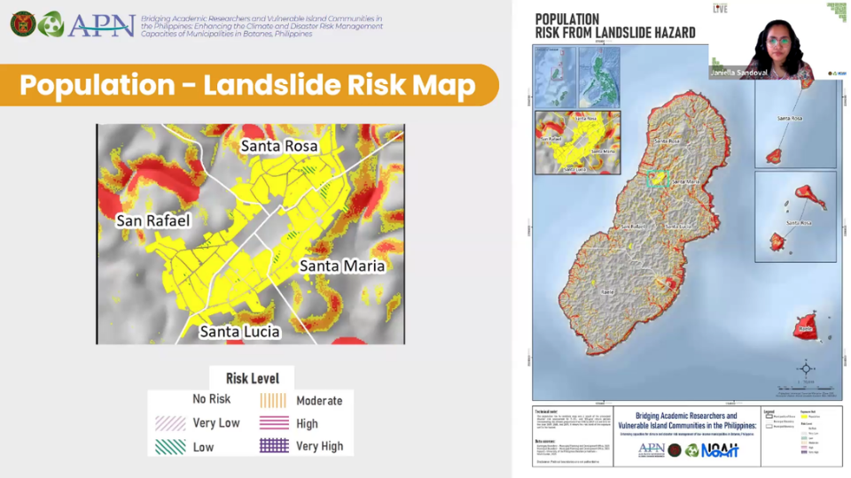
Beyond improving the data, the process also strengthened LGU capacity to understand and apply risk information. Through active engagement, participants developed greater confidence in interpreting the results and using them to support more informed, risk-sensitive decision-making.
Moving Forward
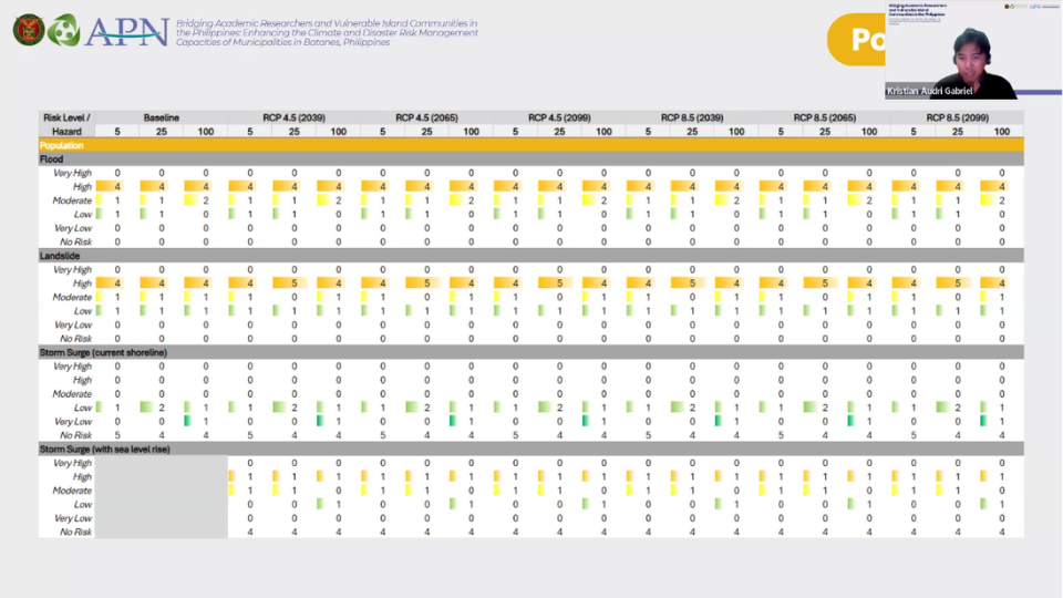
The validation sessions are part of a continuing series of activities and workshops aimed at strengthening climate and disaster risk management capacities in Batanes. Upcoming workshops, peer mentoring sessions, and knowledge-sharing events will further support LGUs in refining their technical skills and integrating CDRA results into their planning processes.
As these efforts progress, the focus remains on building a resilient future for Batanes, one that is grounded in data, informed by local knowledge, and driven by collaborative action.