
What does climate and disaster resilience look like from the ground?
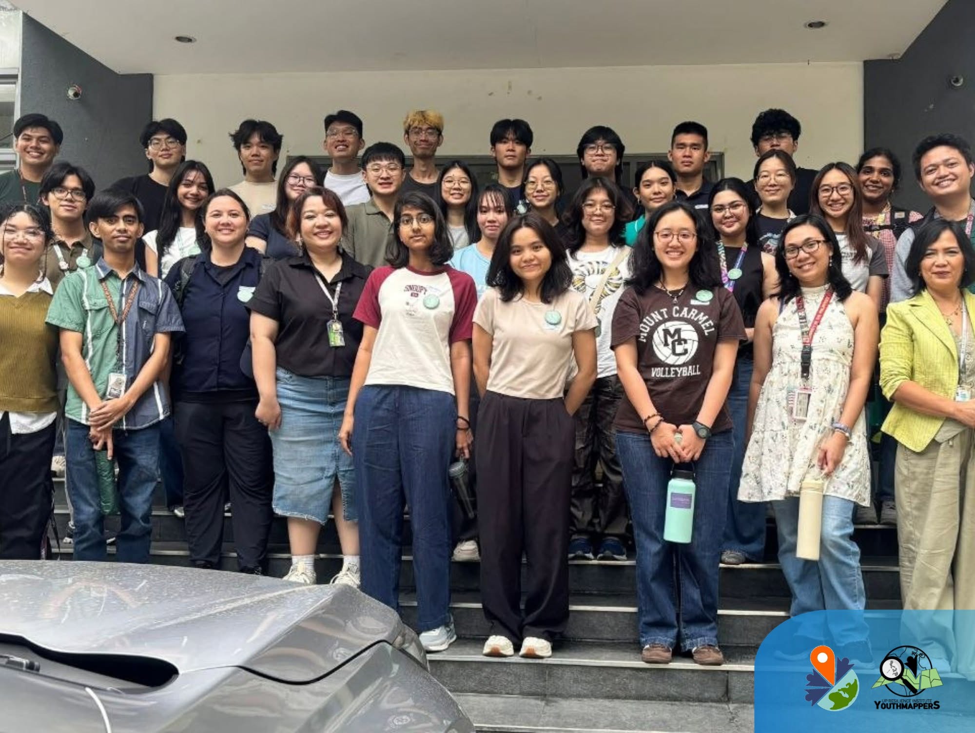
For university students, answering this question requires moving beyond textbooks and stepping directly into the environments they aim to understand. The UP Resilience Institute YouthMappers (UPRIYM) recently hosted a cross-border academic exchange and field mapping workshop, welcoming visiting students from NUS College (NUSC)—the honors college of the National University of Singapore—alongside students from De La Salle University (DLSU).
The collaborative event focused on the practical application of open geographic data in disaster risk reduction (DRR) and humanitarian mapping, highlighting how student-led initiatives drive regional climate action.
A Tri-University Exchange: Why This Collaboration Matters
While Singapore and the Philippines share a geographic home in Southeast Asia, their urban landscapes and climate vulnerabilities look vastly different. This exchange brought together three distinct student perspectives: the macro-level urban planning and policy focus of NUSC, the localized engineering and social sciences expertise of DLSU, and the frontline disaster resilience framework of UPRIYM.
For the visiting Singaporean students, this fieldwork offered a unique window into the realities of localized risk management in a country on the frontlines of climate vulnerability. By collaborating with DLSU and UP students, the NUSC delegation moved beyond theoretical models to observe how dynamic, densely populated spaces function in real time.
The workshop demonstrated that resilience is not just about rigid infrastructure; it is built on adaptive, community-generated data. Bridging these distinct institutional perspectives gave all participants a more holistic understanding of regional climate resilience.
The Power of Open-Source Tools and Youth Leadership
The activity highlighted a core philosophy shared by UPRIYM and the global YouthMappers network: “We don’t just build maps, we build mappers.” Today’s youth are no longer passive recipients of disaster safety information; they are data creators and leaders capable of filling critical gaps in public infrastructure data.
Before deploying into the field, UPRIYM members conducted a technical orientation on OpenStreetMap (OSM), the world’s leading open-source geographic database. The student-led training introduced the NUS delegation to two vital mobile data-collection tools:
- Every Door: Used for mapping and updating micro-level points of interest (POIs).
- Mapillary: Used for capturing sequence-based, street-level imagery to support remote map validation.
By mastering these tools, the students learned how grassroots civic tech can bypass traditional bureaucratic delays to provide real-time, actionable data for humanitarian aid and urban planning.
Narrative of the Day: Rain, Resilience, and the Ikot Jeepney
The true test of the workshop took place on the ground. Participants were divided into working groups and assigned specific routes across the UP Diliman campus, each accompanied by an experienced UPRIYM volunteer to provide technical guidance.
Equipped with their smartphones, the teams set out to audit the campus layout—identifying new POIs, updating outdated map registries, and capturing street-level imagery.
Midway through the activity, the weather shifted, bringing intermittent rain across the campus. However, rather than stalling the fieldwork, the weather triggered an impromptu lesson in local adaptation.
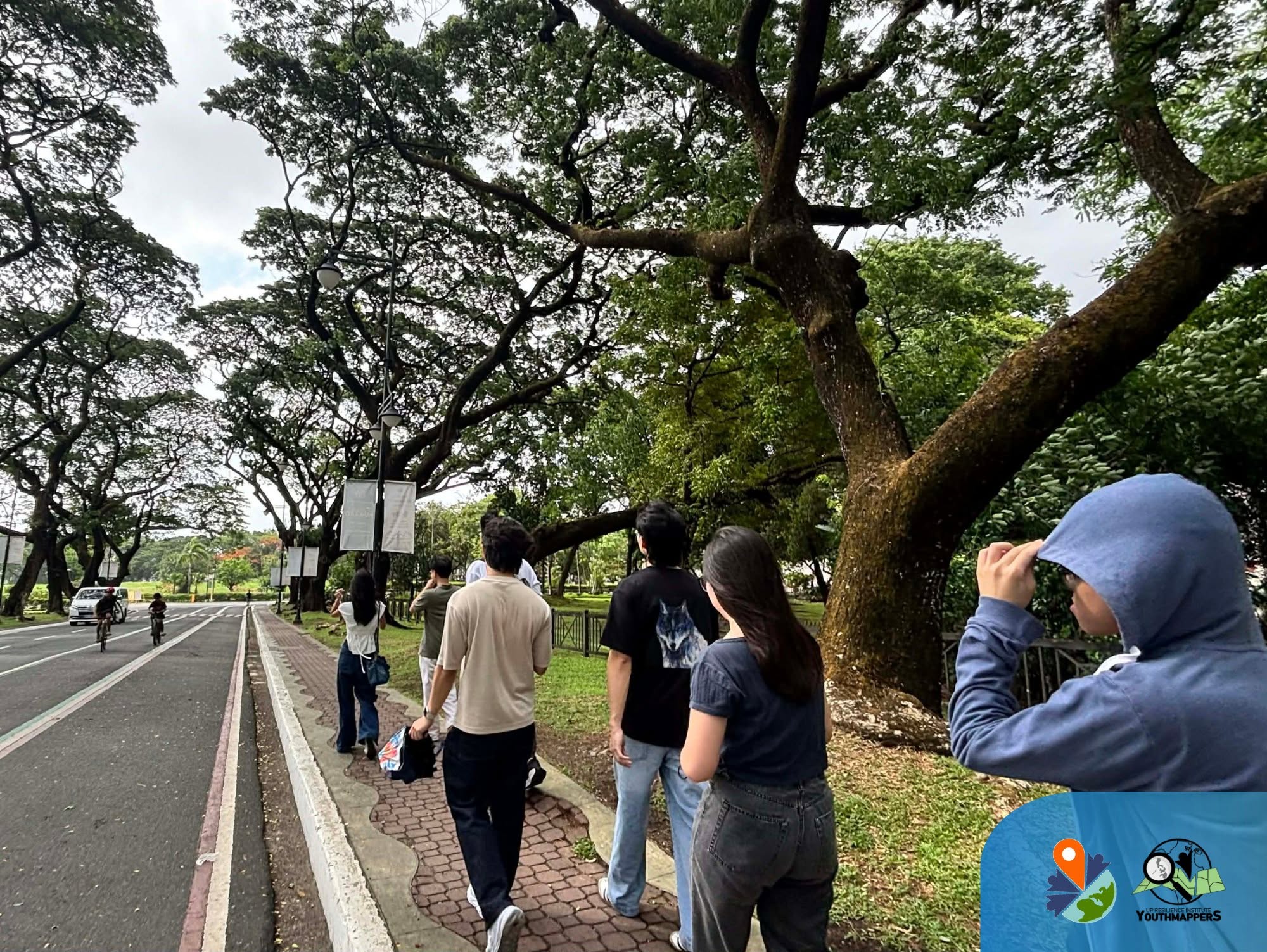
Demonstrating the exact resourcefulness required in real-world mapping scenarios, several teams integrated the iconic UP Diliman Ikot jeepneys into their data-collection workflows. Traveling along jeepney routes allowed the teams to remain sheltered while continuously logging critical spatial data and capturing extensive Mapillary sequences.
Tangible Outcomes for the Mapping Ecosystem
By the end of the deployment, the joint efforts of the UP and NUS students produced tangible results for the open-data community:
- 207 nodes were newly added or improved in OpenStreetMap, significantly refining the campus’s digital footprint.
- Fresh street-level imagery sequences were contributed to Mapillary, establishing a robust baseline dataset for future campus resilience assessments.
- Deepened regional capacity, preparing both student bodies to use geospatial tools to address sustainable development challenges.
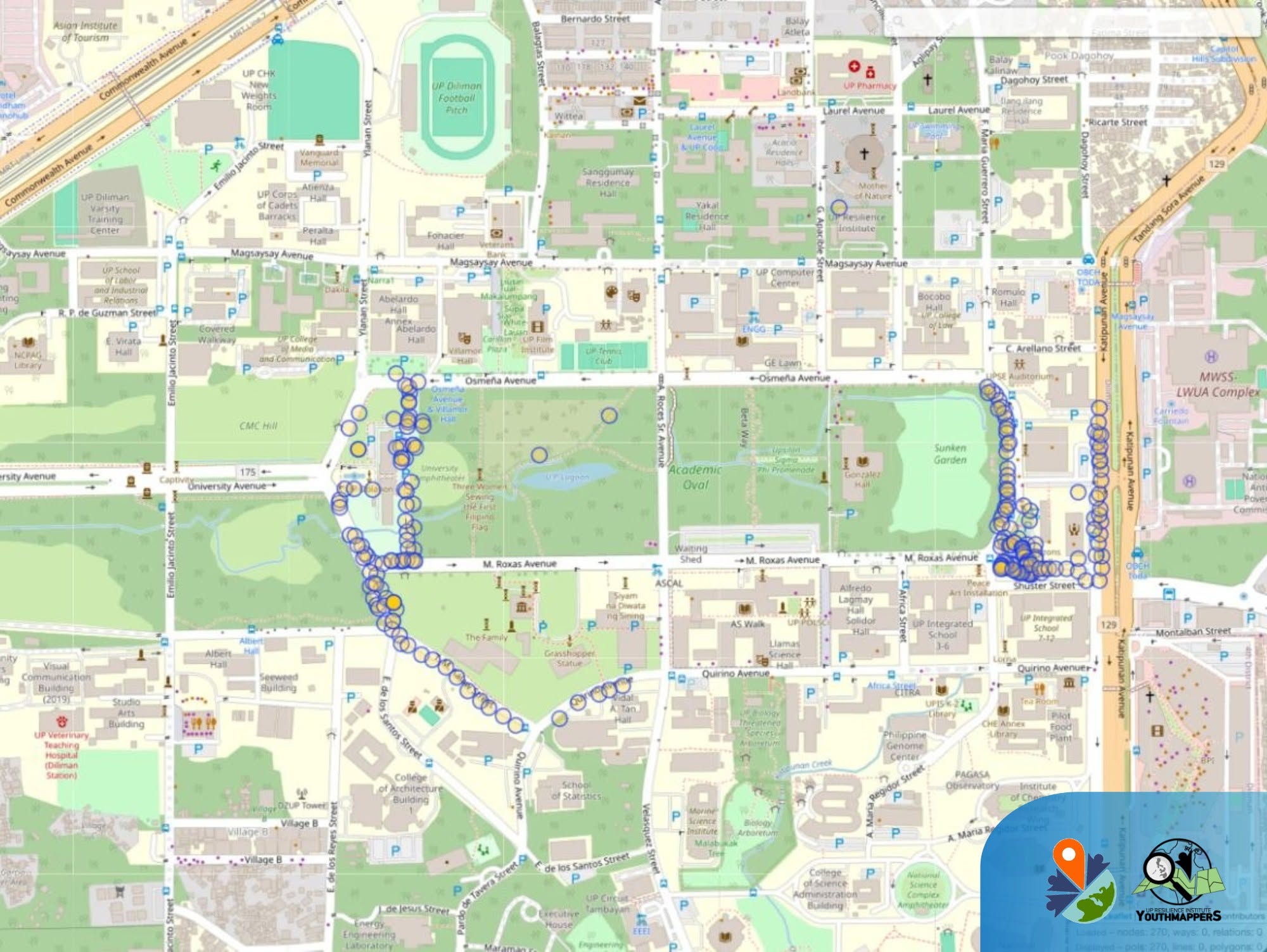
More than 200 points of interest were added and improved in OSM. Screenshot from Overpass-Turbo.
Core Takeaways from the Workshop
- Democratizing Data: OpenStreetMap bridges resource gaps by allowing everyday citizens to generate high-quality geospatial information.
- The Value of Fieldwork: Remote mapping is valuable, but on-the-ground field validation remains irreplaceable for capturing true local contexts.
- Youth as Catalyst: International, student-led collaborations expand local capacities and build a stronger, interconnected network of disaster-ready youth leaders across Southeast Asia.
Charting the Path Forward
The day concluded with a debriefing session, a traditional group photo, and open discussions regarding future initiatives. UPRIYM expressed its deep appreciation to the NUS students for their technical focus, adaptability, and collaborative spirit.
As climate challenges become increasingly transboundary, partnerships like this underscore the necessity of a unified regional response. UPRIYM and NUS look forward to sustaining this connection, exploring future collaborations in geospatial technologies, and continuing to build a resilient, well-mapped Southeast Asia.