by Gereka Marie N. Garcia, Klara Bilbao, and Dr. DJ Darwin Bandoy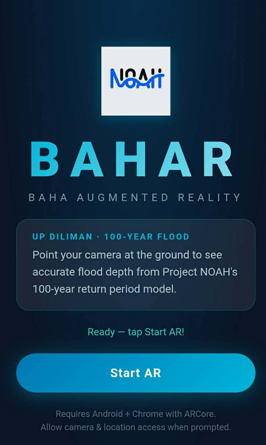
A new advancement in disaster preparedness technology is currently being developed, marking a significant step toward more accessible and intuitive flood risk communication.
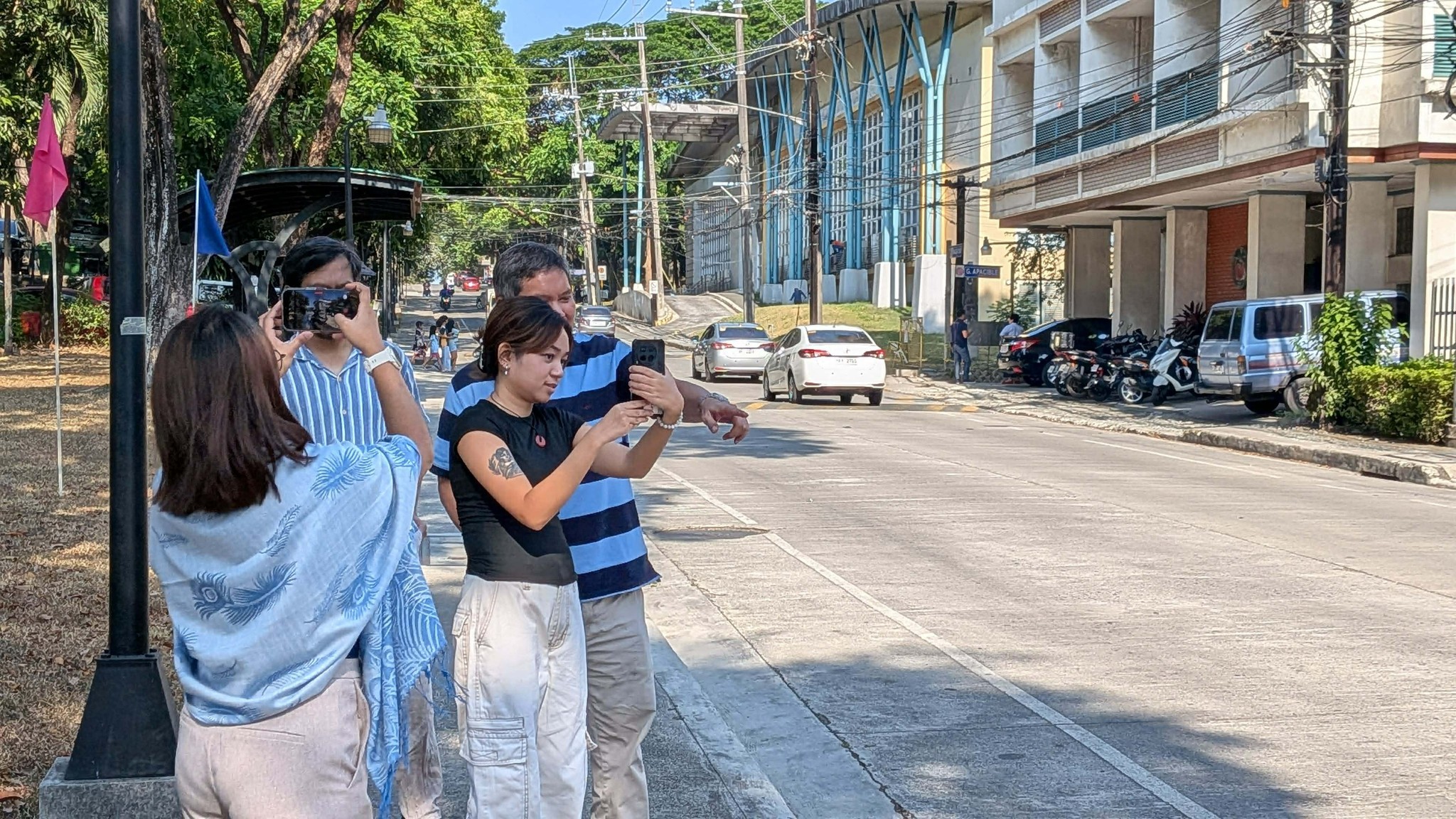
BAHAR (Baha Augmented Reality) is an emerging augmented reality (AR) application designed to bring scientifically grounded flood risk information closer to the public. The system is built on hazard data from the UP NOAH, particularly its 100-year return period flood maps and modeled flood depth datasets, ensuring that visualizations are anchored in validated, science-based projections. Through smartphone-based AR visualization, it overlays realistic, three-dimensional representations of floodwater onto actual environments, enabling users to better understand how flood hazards may manifest in their immediate surroundings.
. 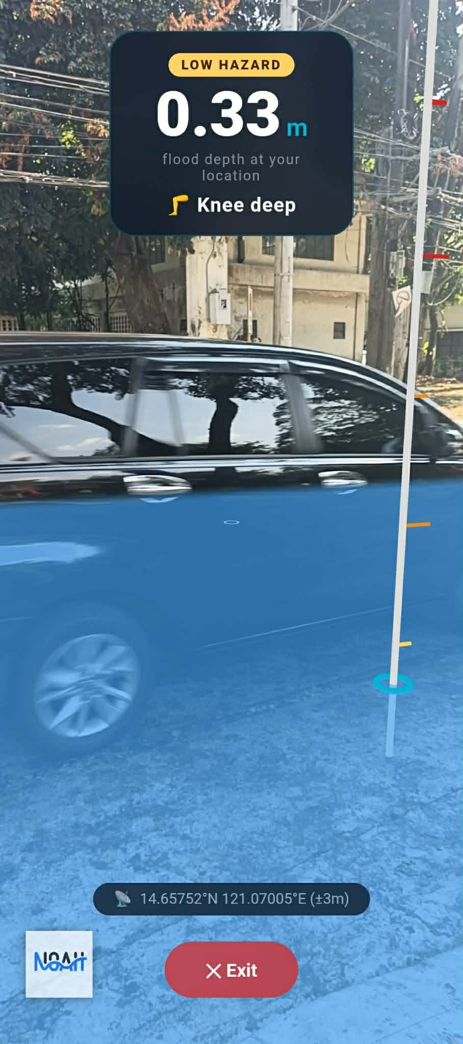
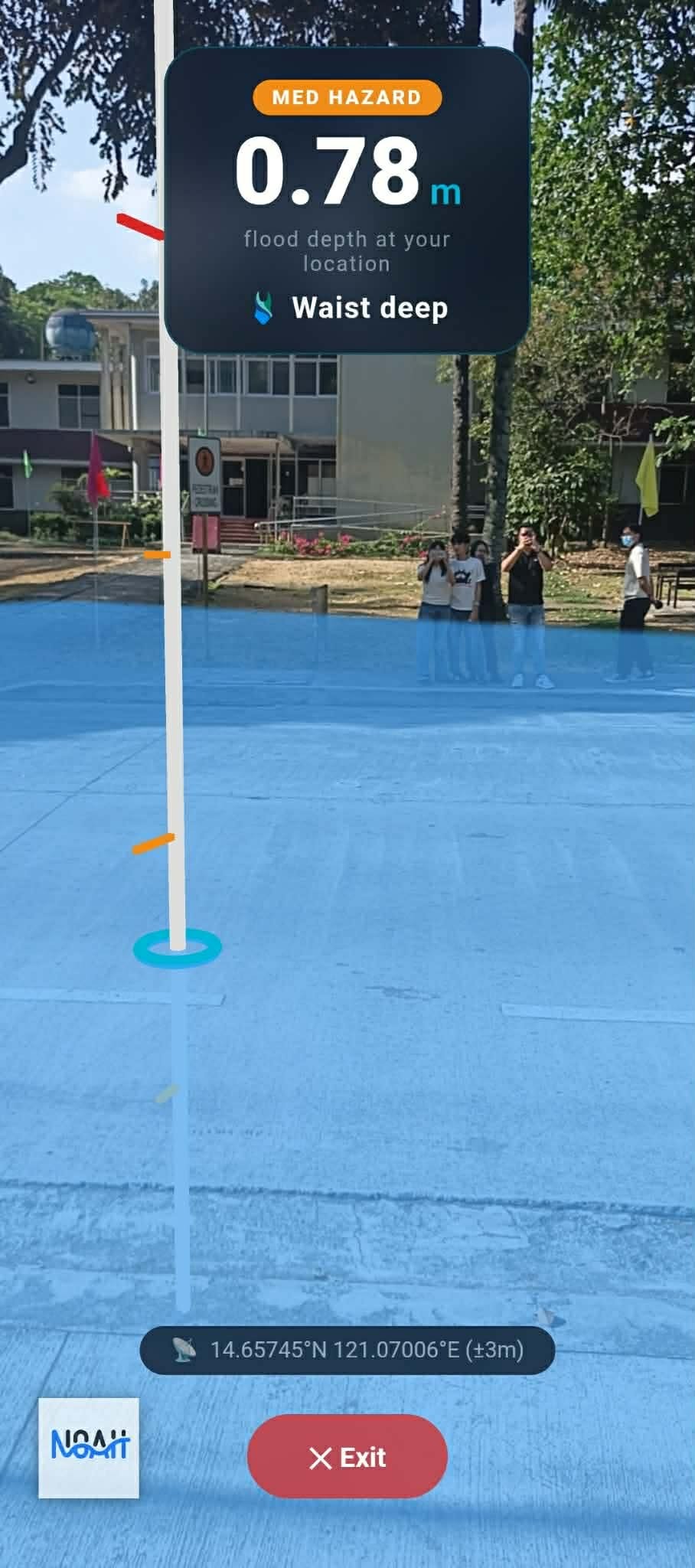
Still under development, the tool aims to enhance flood risk awareness and improve public comprehension of hazard maps derived from the UP NOAH. By translating complex geospatial flood data into an interactive visual format, BAHAR seeks to make hazard information more understandable, accessible, and relevant to end users. The system integrates geolocation capabilities to accurately position flood projections in real-world contexts, incorporating both flood extent and depth based on NOAH’s datasets. This allows users to visualize not only where flooding may occur, but also how deep it may be at specific locations.
Beyond visualization, the system is intended to support broader objectives in disaster risk reduction, including strengthening situational awareness, advancing disaster preparedness education, and promoting informed decision-making at the community level before hazard events.
The project is the result of a collaborative effort between the NOAH Flood Modeling Team and the Research and Creative Work Office.
BAHAR is expected to contribute to the evolving landscape of science-based disaster communication, offering an innovative approach to understanding and interpreting flood risk in real-world settings.