by: Gereka Marie N. Garcia
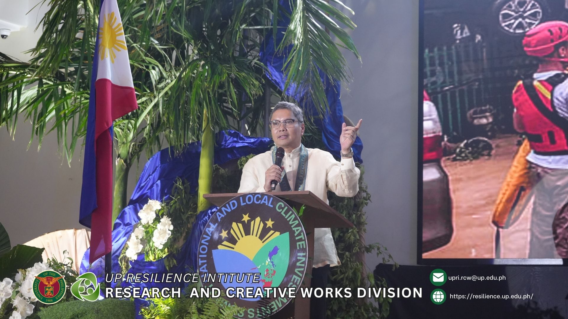
Legazpi City, Albay — Dr. Mahar Lagmay, Executive Director of the University of the Philippines Resilience Institute (UPRI) NOAH Center, delivered a powerful call for proactive, science-based disaster management at the National Summit on Climate and Disaster Emergency in the Philippines (NLCI) held on November 26-27, 2025, at The Oriental Hotel.
Showcasing UP NOAH’s Life-Saving Science and Technology
Throughout his presentations, Dr. Lagmay showcased the capabilities and achievements of the University of the Philippines Resilience Institute’s NOAH (Nationwide Operational Assessment of Hazards) Center – a nationwide disaster management program that has been at the forefront of improving the government and the Filipino people’s capacity to respond against extreme weather conditions for the past 13 years.
NOAH undertakes advanced disaster science research, comprehensive and multidisciplinary assessment of hazards while also developing accessible tools that enable local government units, community leaders, policy makers, planners, families, and individuals to prevent and mitigate disasters.
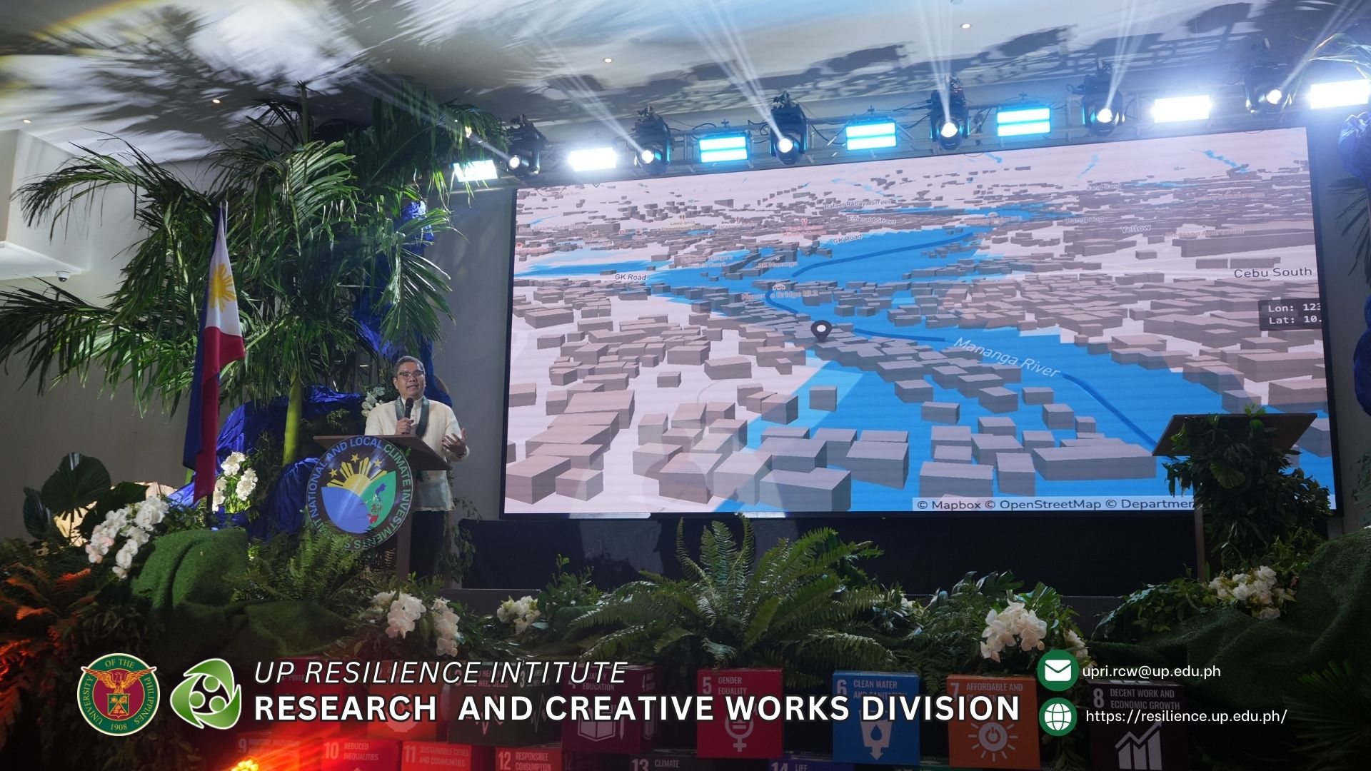
Dr. Lagmay presented various maps and simulation data to demonstrate NOAH’s proven track record. The system’s flood maps have been described as “eerily accurate” by communities who have witnessed their precision during actual disaster events. More importantly, the system can simulate interventions and determine whether infrastructure investments will work before they are even built, allowing for evidence-based decision-making on disaster risk reduction investments.
From Reactive to Anticipatory: Dr. Lagmay’s Vision for Science-Based Disaster Prevention
In his plenary address on “Resilience Building for Climate Vulnerable Communities,” Dr. Lagmay presented a compelling case for using science to its maximum potential in disaster prevention. He showcased various maps and simulation data, demonstrating how technology can complement deterministic hazard maps.
“The business of hazard mapping is not merely to identify hazards but also identify the safest places within communities”, Dr. Lagmay explained. He emphasized that hazard maps should not only show dangerous areas but, more importantly, highlight the safest locations where communities can thrive.
Dr. Lagmay challenged conventional approaches to flood control, arguing that traditional infrastructure like dikes can only withstand limited flooding. He pointed to the changing climate where once-in-a-lifetime events like Typhoon Ondoy now occur frequently. In Marikina, flooding has reached three floors high, causing repeated devastation to homes and vehicles.
“Its happening frequently, it’s obvious that dikes don’t work,” he stated, explaining that substandard infrastructure gets overwhelmed in the changing climate. He advocated for nature-based solutions as primary interventions, with grey infrastructure like dikes serving as a last resort.
Testing Solutions Before Spending Billions
One of Dr. Lagmay’s most compelling arguments centered on a capability that could revolutionize infrastructure planning: the ability to simulate and test solutions before committing massive investments – essentially allowing the government to “see the future” before breaking ground.
He demonstrated how NOAH conducts street-level simulations with remarkable precision, meticulously examining every drainage system, every hole in major thoroughfares like EDSA, and identifying exactly where water accumulates during flooding events. This level of detail provides planners with a virtual testing ground for proposed interventions.
“With the right design, we can simulate an intervention and determine whether an investment or infrastructure project will actually work – before spending billions,” Dr. Lagmay explained.
Dr. Lagmay illustrated this with a practical example: “sponge roads” – permeable surfaces designed to absorb water. Through detailed mapping, scientists can pinpoint exactly where water naturally accumulates during floods. “Makikita mo sa mapa kung saan tumatapon ang tubig, then that’s where you put sponge roads,” he explained.
The implication is profound: instead of implementing expensive solutions across entire cities on the assumption they might help, resources can be concentrated precisely where they will have maximum impact. This targeted, evidence-based approach could save the government billions of pesos by ensuring investments actually solve problems rather than becoming expensive monuments to ineffective planning—or worse, infrastructure that sits unused because it was placed in the wrong location.
Dr. Lagmay backed up his advocacy for nature-based solutions with hard data from NOAH research in Negros province. His team discovered that simply restoring forests to 1990 levels would reduce floodwater by 1 million cubic meters – equivalent to the capacity of 400 Olympic-size swimming pools. This single finding demonstrates the transformative potential of working with natural systems. For a fraction of the cost of building massive concrete flood control structures, forest restoration can provide enormous water retention capacity while simultaneously delivering co-benefits like carbon sequestration, biodiversity conservation, and watershed protection.
“The point of showing you these is to demonstrate how we can use science to its maximum potential,” he emphasized. The combination of nature-based solutions, strategic grey infrastructure placement informed by simulations, and science-based planning represents the Philippines’ most cost-effective path toward genuine, lasting resilience.
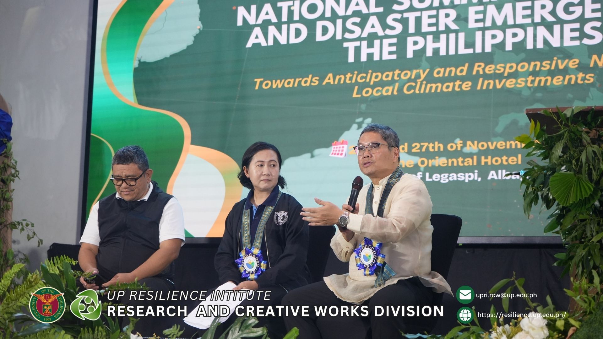
Critical Assessments at the Press Conference
During the Day 1 press conference titled “Forging the Enhanced Climate and Disaster Agenda for the Environment and Natural Resources Sector,” Dr. Lagmay provided candid assessments that highlighted systemic failures in the country’s disaster preparedness.
On Recent Massive Flooding
When asked about recent flooding events and whether the government and communities are truly ready for such disasters, Dr. Lagmay delivered a critical assessment: readiness should have been in place because affected areas were already clearly identified in existing scientific hazard maps.
“The core failure is not a lack of knowledge but the continued practice of allowing development to occur in known floodplains,” he explained. He pointed to the recurring statement from disaster survivors that a catastrophe of such magnitude “has never happened before” as a definitive indicator of systemic failure to anticipate predictable events.
The tragedy, Dr. Lagmay concluded, is that life-saving scientific tools already exist but are not being used to their full potential.
Priority Investment: Restoring the Sensor Network
When asked to recommend which early warning or mapping technologies should be prioritized for funding, Dr. Lagmay’s answer was definitive: restore the nationwide network of approximately 2,000 real-time rain gauges and flood sensors.
This world-class system once provided critical 3-to-12-hour early warnings and was proven to have averted at least 15 potential disasters before it fell into disrepair. Dr. Lagmay recounted seeing a defunct sensor along a river that, had it been operational, could have warned people and saved lives in a recent flood event.
He framed the restoration of this established and life-saving sensor network as the single most critical investment the country could make in its disaster preparedness infrastructure.
Beyond Science Communication
Addressing the challenge of climate education, particularly in geographically isolated and disadvantaged areas, Dr. Lagmay contended that the problem extends beyond simple science communication.
For scientific knowledge to be truly embraced and acted upon by communities, it must be integrated with the arts and humanities. He advocated for a multidisciplinary approach involving professionals such as psychologists and historians to connect with people on a deeper cultural and emotional level, making the abstract risks of climate change tangible and compelling.
A Call to Action
Dr. Lagmay’s participation at the NLCI underscored the critical importance of learning from past disasters to systematically lessen the risks of future events. His message was clear: the Philippines possesses the science, capability, and people to build resilience, but these resources must be properly utilized and maintained.
“We have science, we have capability, we have the people to do it and they have been doing it for the past 13 years,” he stated, emphasizing that the country’s survival depends on implementing science-based interventions before disasters strike, not after.
The summit, organized by the Local Climate Change Adaptation for Development, Inc. (LCCAD) in partnership with UP Resilience Institute and other agencies, aimed to mobilize whole-of-society action on climate and disaster emergencies. Dr. Lagmay’s contributions reinforced the central message: anticipatory, science-based action is not optional—it is essential for the Philippines’ resilience and survival.
__________________________________________________________________________________________________________________________________________________
The National Summit on Climate and Disaster Emergency in the Philippines brought together government officials, scientists, civil society organizations, and local government units to address the nation’s climate and disaster challenges through enhanced collaboration and science-based interventions.