The University of the Philippines (UP) Resilience Institute (UP RI) – Nationwide Operational Assessment of Hazards (NOAH) Center conducted flood validation interviews and barangay site visits in the Municipality of Balaoan, La Union from March 11 to 14. These activities were done to obtain more data and provide a better understanding on the flooding situation in the municipality.
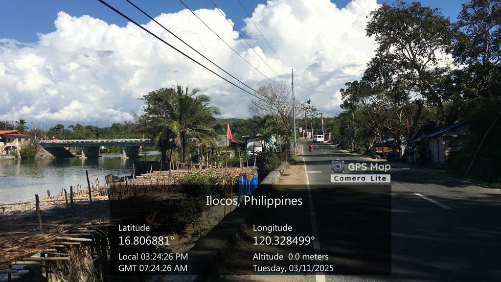
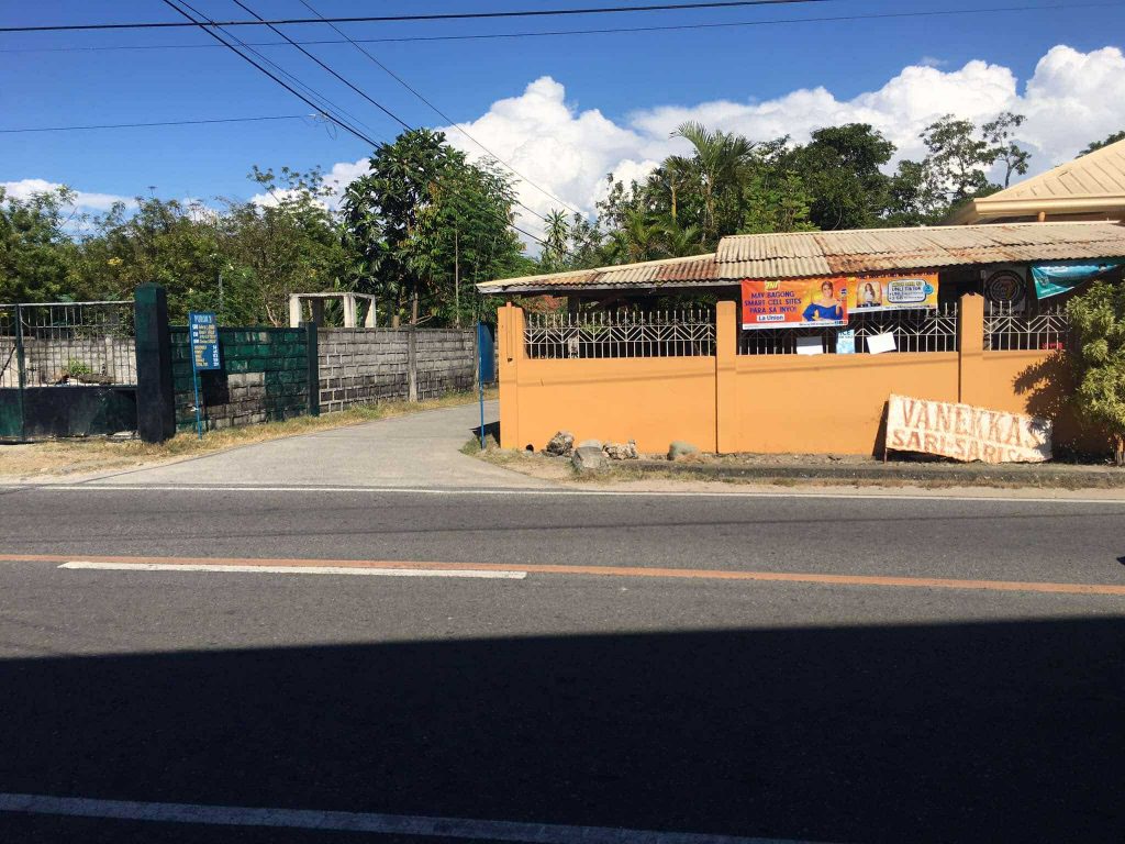
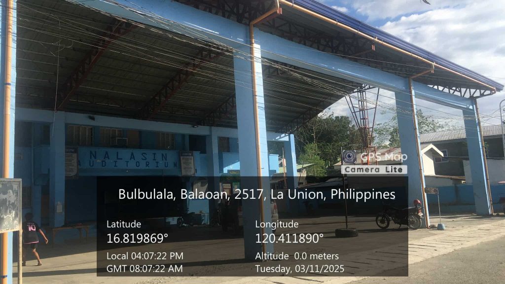
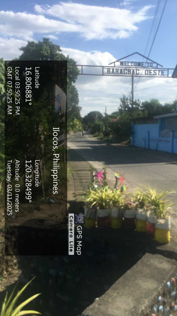
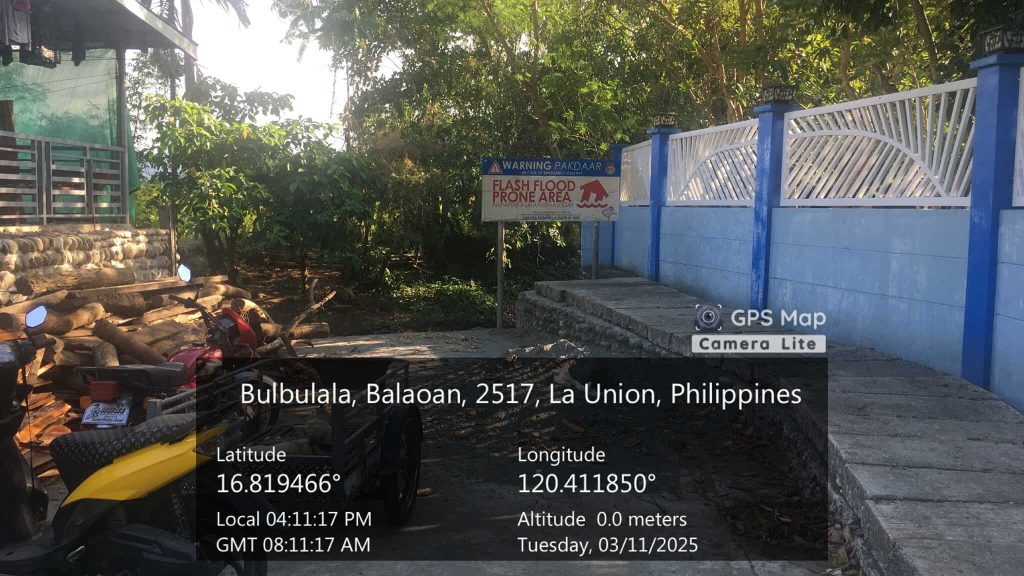
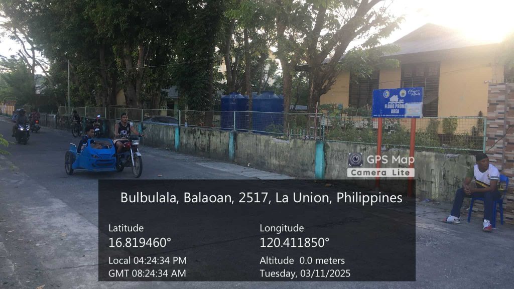
The visits to some of the flood-prone barangays were made possible with the help of the Municipality of Balaoan, and guidance of the Municipal Disaster Risk Reduction and Management Office (MDRRMO) and Municipal Planning and Development Office (MPDO). They were conducted on March 11, one day before the Visioning, Vision-Reality Gap Analysis, and Goal-Setting Workshop which was facilitated and organized by the Planning Team of the UP RI – UP NOAH Center. Mr. Dino Evangelista, one of the researchers from the Flood Modelling Component (FMC) visited some of the flood-prone barangays including the two coastal barangays of Balaoan, Brgy. Paraoir and Brgy. Almeida. He also visited Brgy. Antonino and Brgy. Nalasin, two barangays near the Poblacion area, and a landlocked barangay in the northeastern portion of the municipality, Brgy. Baracbac Oeste. These barangays were considered to be the most flood-prone, with communities being affected according to the initial flood simulation.
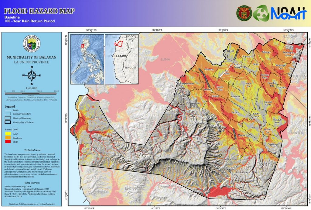
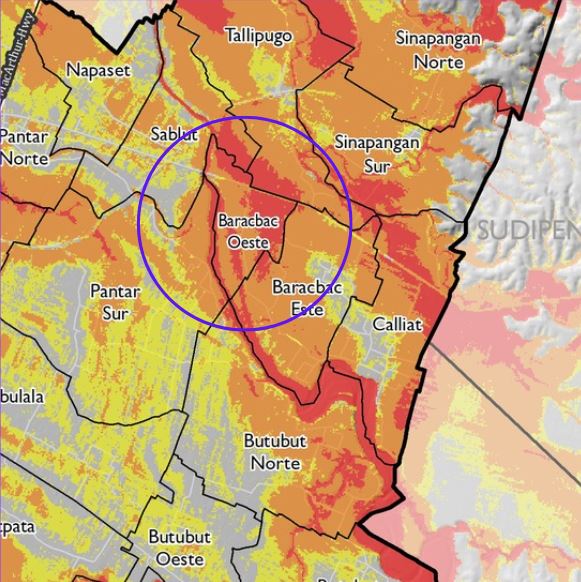
In terms of the percentage of flooded areas, Brgy. Baracbac Oeste is considered to be the most affected, as 97.24% of the area of the barangay is shown to be covered by flood hazard for a 100-year rain return period in the simulation. Situated between two major tributaries of the Maluyo River, the small land area of the barangay is almost entirely exposed to flood.
As a side activity during the workshop proper on March 12 and 13, representatives from each of the 36 barangays were interviewed to validate some of the locations that may have experienced flooding during specific extreme rainfall events. Aside from validating the initial points, barangay participants were also asked if there are other flood-prone locations within their barangays and what may be the possible cause of flooding. The data that will be gathered from the site visits and interviews will be used to check the accuracy of the flood simulations and further improve the flood hazard maps of UP RI.