by: April Dawn Federizo Tegelan
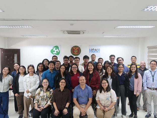
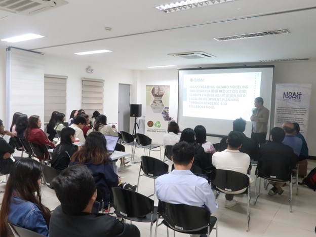
Spain and the Philippines share a long history that continues to influence the country’s towns and cities up to this day. The layout of plazas, municipal centers in many localities reflects Spanish-era influences on governance and urban design. Today, that legacy takes on a new form as both countries continue to exchange knowledge, this time in the fields of science, land use planning, and resilience. In a recent brownbag session hosted by the University of the Philippines Resilience Institute (UP RI), Filipino experts from the institute and Dr. Jesús Garrido Manrique from Universidad de Granada discussed how the study of natural hazards can be integrated into land use planning.
The session opened with an overview of UP Nationwide Operational Assessment of Hazards (NOAH) Center’s work on hazard modeling and its role within the UP Resilience Institute’s broader mission of science-based disaster risk reduction and management. They highlighted how the work of the center’s different components, ranging from hydrometeorological and geological hazard modeling, local development planning, and information dissemination can contribute to developing planning and decision-making across the Philippines.
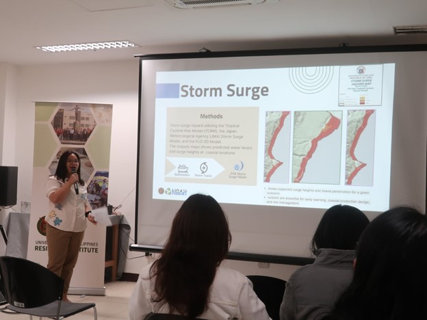
UP RI researchers presented several hazard assessment models currently used in the Philippines. The Hazard Assessment and Flood Modeling Team of the UP NOAH Center explained how hydrometeorological hazards are simulated using tools such as TCRM, JMA, TRIGRSP, and FLO-2D. For geological hazards, the team showcased models for ground shaking (using attenuation relationships for peak ground acceleration), liquefaction (through logistic regression models), and tsunamis (via fault-based worst-case scenario simulations). They also highlighted the use of InSAR data to monitor land subsidence in Metro Manila and other major metropolitan areas. Tephra deposition modeling for volcanic eruptions was likewise discussed.
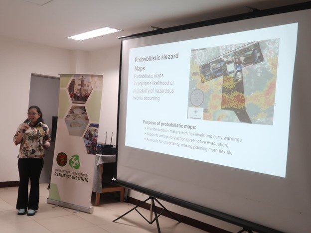
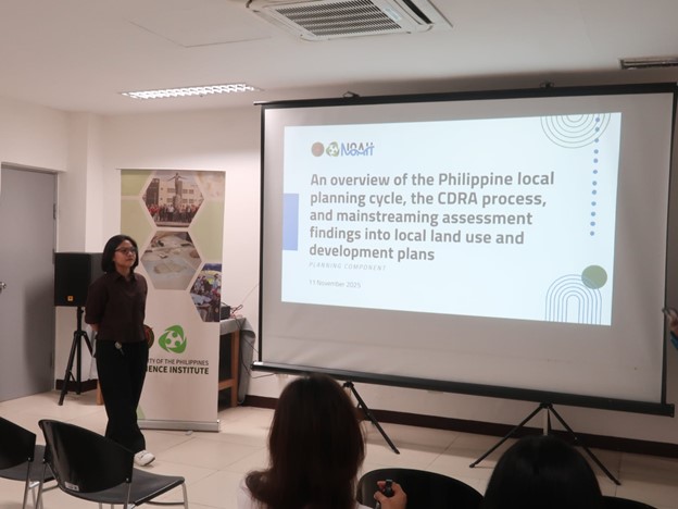
The NOAH researchers emphasized the critical role of probabilistic modeling, particularly for rain-induced and structurally controlled landslides. All of these models and hazard maps are publicly accessible through the NOAH website and are utilized by the UP NOAH Center’s Planning Component to provide technical assistance that help Local Government Units (LGU) integrate hazard and risk information into their development plans.
UP RI’s Executive Director, Dr. Alfredo Mahar Francisco A. Lagmay, also emphasized that these hazard maps are not merely scientific outputs, they are practical tools meant to inform local development plans, policy formulation, and disaster preparedness programs, underscoring the importance of reducing hazard exposure through better land-use decisions.
Dr. Garrido from the Universidad de Granada then shared Spain’s experience in disaster risk reduction and urban planning. He described how Spain’s framework for risk management, similar to the framework UP RI utilizes, is built on three components: hazard, vulnerability, and exposure. Drawing on Spanish and European legislation such as the Strategic Environmental Assessment Directive and the Floods Directive. Dr. Garrido also outlined how hazard maps and master plans together guide spatial and urban planning decisions. “If exposure is zero, risk is decreased,” he said, emphasizing that preventing construction in high-risk areas remains one of the most effective mitigation strategies.
Dr. Garrido also discussed Spain’s administrative and planning structure as involving spatial plans at the regional level, urban plans at the municipal level, and the integration of natural hazard considerations across both. He explained how different laws, such as the Water Act, Coastal Act, and Land Acts, define restrictions on development to prevent building in flood-prone or coastal hazard zones. Yet, he admitted that challenges persist: many local planners are not fully aware of these legislations, and enforcement remains inconsistent.
During the open forum, both parties reflected on the shared challenges of turning science into policy. UP RI’s Dr. Lagmay and Ms. Esquivel noted that while Philippine LGUs now have access to hazard maps, their ability to use these tools effectively depends on both technical and financial capacity. Dr. Garrido echoed this saying that “the problem is not the projects—it’s in enforcing the law.”
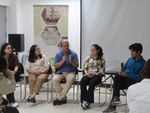
The exchange also touched on the need for better communication between scientists, policymakers, and communities. In Spain, Dr. Garrido shared, scientific studies on hazards are sometimes confined to academic circles, and new policies are being developed to ensure that researchers share data with local authorities. “If research data is not shared, there are penalties,” he explained, underscoring the importance of open data policies for effective disaster risk governance.
Despite differences in context, both countries recognized the same goal: to use science to build safer, more resilient communities. As the session closed, Dr. Garrido reflected, “We have a lot to learn from each other. Science may differ in method, but resilience is always shared.” Through these continuing exchanges between UP RI and the Universidad de Granada, the enduring link between Spain and the Philippines finds new expression, not in architecture or religion, but in a shared commitment to protecting lives and communities through science and planning.