By: NOAH Hazard Assessment Team
The 3rd PASCDR National Conference was organized by the Philippine Academic Society for Climate and Disaster Resilience (PASCDR) in partnership with the UP Resilience Institute and De La Salle University, bringing together researchers, practitioners, and stakeholders working on climate and disaster resilience across the Philippines.
During the conference, the NOAH Center – Hazard Assessment Team presented a research poster titled “Multi-hazards in the Coastal Area of Kusiong, Maguindanao del Norte, Philippines.” The poster showcased an integrated multi-hazard assessment of Barangay Kusiong, combining remote sensing data, geohazard modelling, and field-based observations to analyze overlapping threats such as debris flows, landslides, flooding, storm surges, liquefaction, ground shaking, and land subsidence. The study emphasized the cascading nature of hazards in coastal and mountainous environments and highlighted the need for strengthened community-level risk governance, improved early warning systems, and adaptive land-use planning. The research also provided comprehensive hazard exposure maps to support local decision-making and long-term risk reduction in vulnerable communities.
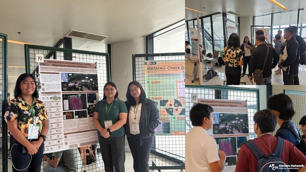
The team was honored to share that the poster received the Best Poster Award at the conference—recognition that underscores the importance of multi-hazard approaches in advancing climate and disaster resilience research in the country.
In addition to presenting a poster at the conference, the NOAH Center – Hazard Assessment Team also delivered an oral presentation titled “Tsunami Hazard Mapping of Northwest Luzon from a Hypothetical Manila Trench Zone 2 Earthquake.” The talk outlined the team’s exploratory approach to developing tsunami simulations—an early-stage effort aimed at understanding the workflow, data requirements, and modelling considerations involved in assessing tsunami hazards.
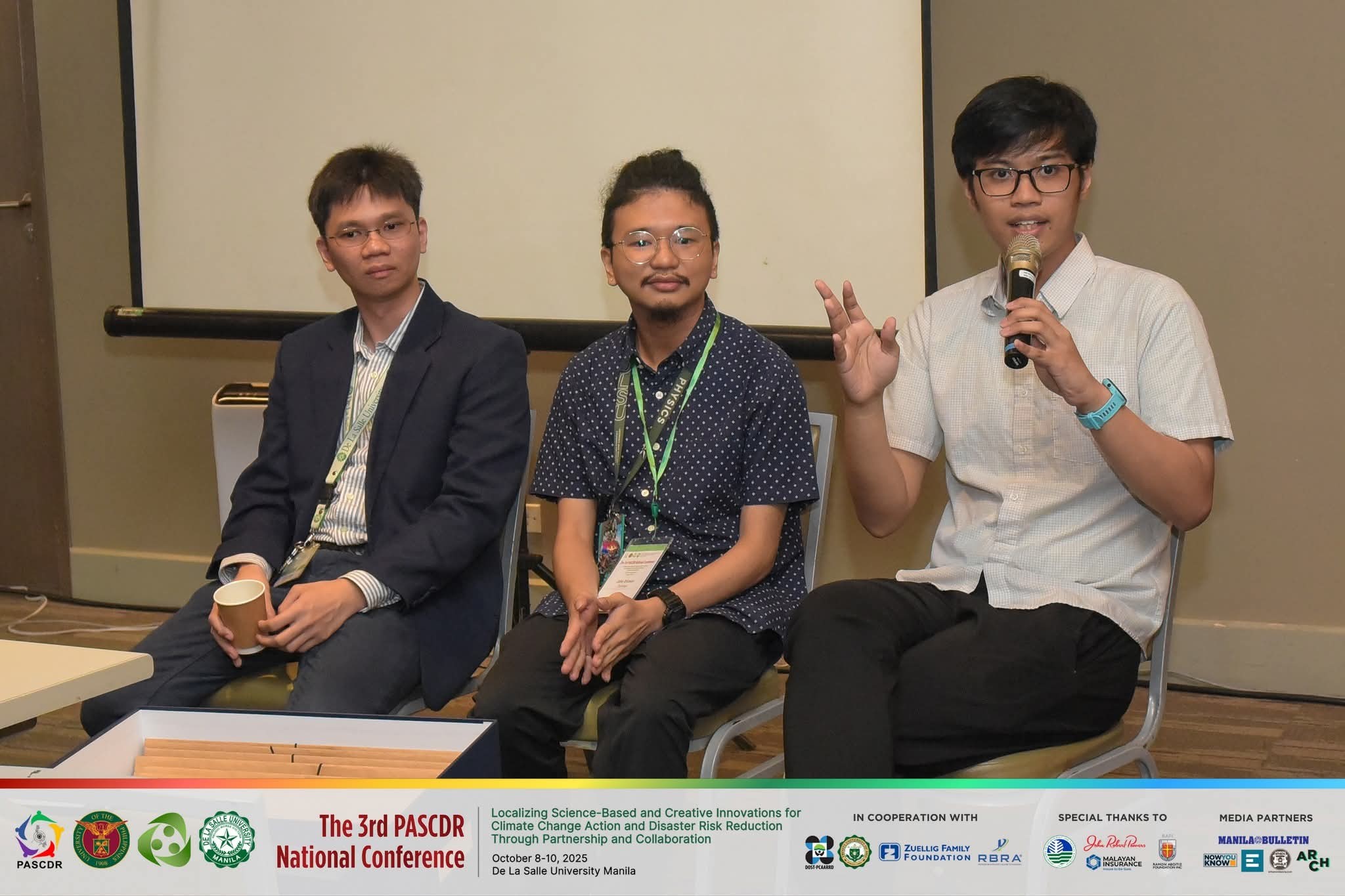
During the session, the team shared its initial modelling attempts and the insights gained throughout the process. A key focus of the presentation was the importance of accurately defining fault parameters—such as fault length, width, depth, and slip—which greatly influence the reliability of tsunami simulations. The team also discussed the uncertainties and practical challenges encountered while working with the available datasets, noting how these shaped the team’s internal learning and highlighted areas where further refinement would be beneficial.
By sharing studies and ongoing exploratory work, the NOAH Center Hazard Assessment Team aimed to contribute to collective knowledge-building and help capacitate researchers, practitioners, and communities in understanding multi-hazard risks. The conference served as a meaningful platform for exchanging insights, strengthening technical networks, and supporting broader efforts to enhance disaster preparedness and resilience across the country.