Written by: NOAH Hazard Assessment Team
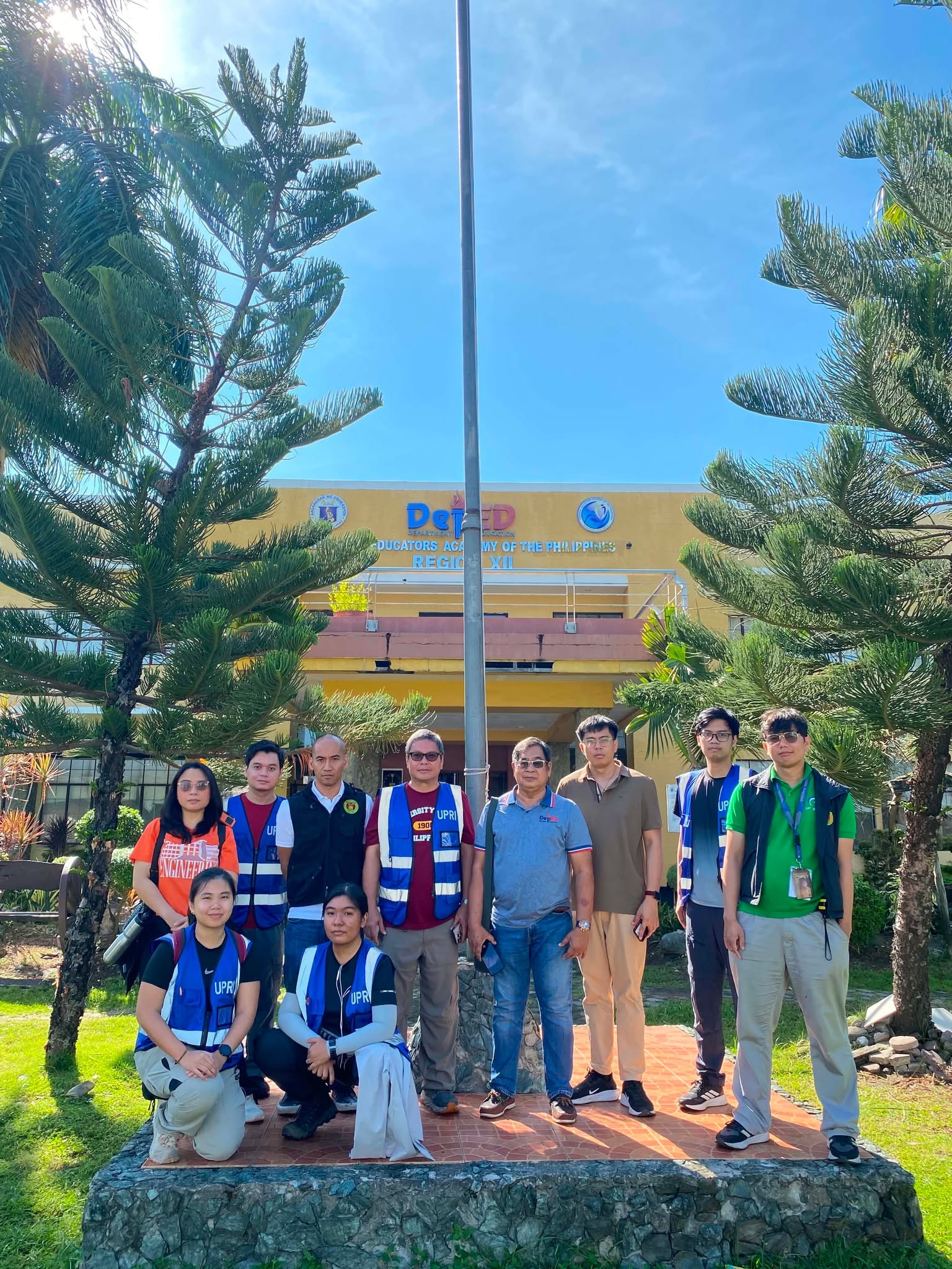
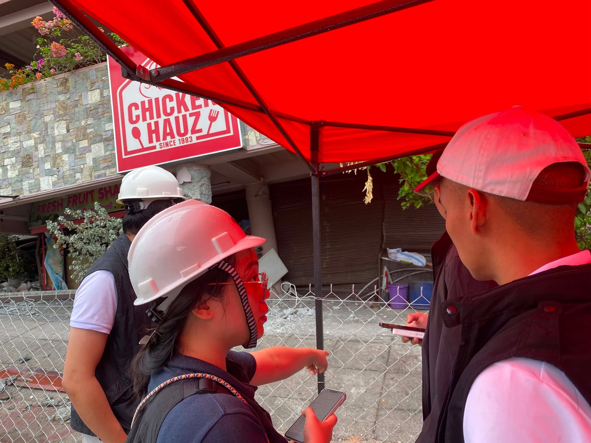
On June 10-13, 2026, a UP Quick Response Team composed of geologists and engineers from the UP Resilience Institute-NOAH Center and the UP Institute of Civil Engineering conducted a post-earthquake assessment following the Mw 7.8 earthquake in Mindanao on June 8, 2026. In collaboration with engineers from the Department of Education based in National Educators Academy of the Philippines (Region 12), the team evaluated infrastructural damage and geological hazards in General Santos City and various barangays in Sarangani Province.
Investigation of natural hazards and damaged infrastructures initially identified through social media crowdsourcing, as well as heavily affected school facilities, was prioritized as the team aims to provide significant data to equip local decision-makers with a clear, science-backed basis for immediate safety and community resilience.
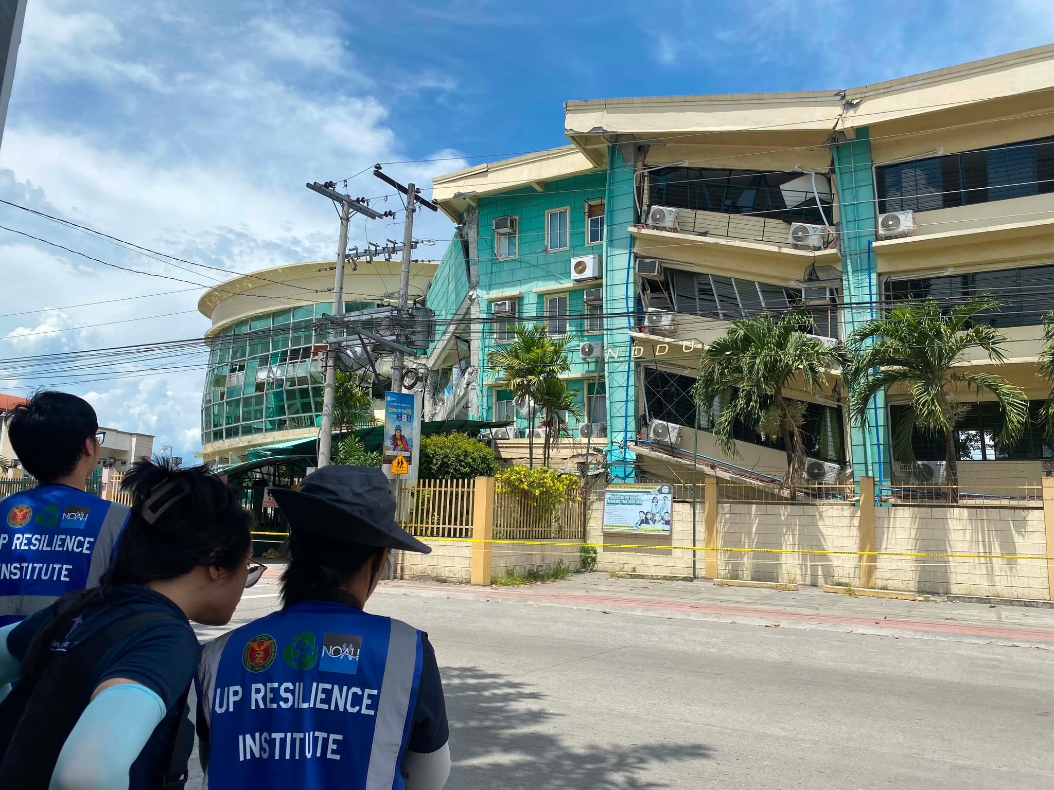
Southern Mindanao, particularly General Santos City and Sarangani Province, is highly susceptible to secondary hazards, as it is characterized by low-elevation coastal plains, broad river deltas, prograding coastlines, and extensive floodplains. Field investigations confirmed that the intense ground shaking triggered widespread liquefaction across these low-lying areas, driven by loose, water-saturated alluvial deposits and shallow groundwater. The team documented severe liquefaction manifestations, including sand boils, sediment ejection, and differential settlement, at locations of interest such as Hicban Subdivision and along David G. Calina Street. The team also conducted inspections at sites such as Notre Dame of Dadiangas University-IBED Lagao in General Santos City and Matanao National High School in Davao del Sur, which featured asymmetrically collapsed buildings.
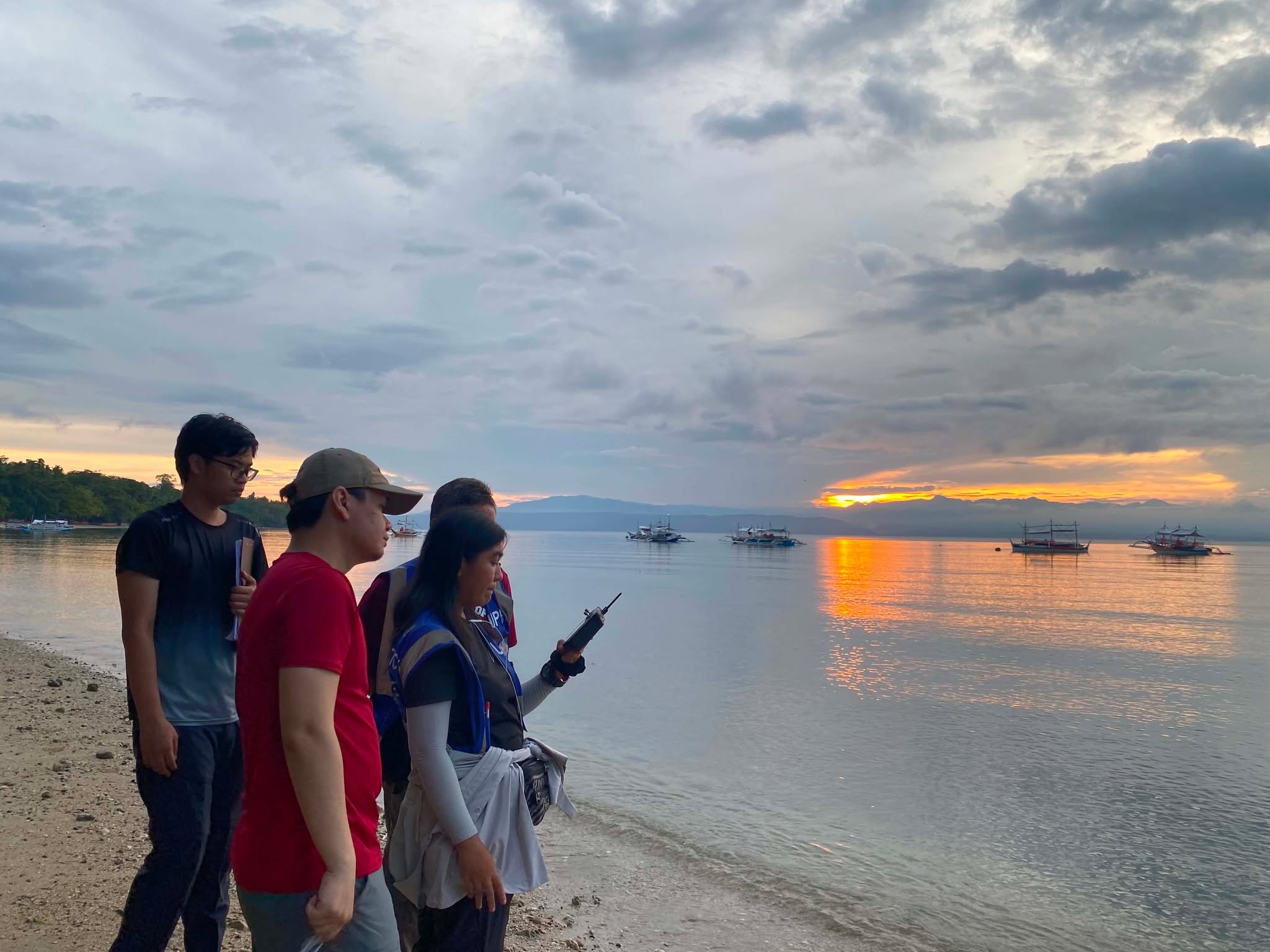
Along the coastal barangays, the team evaluated the tsunami generated by the earthquake, combining GeoClaw-based numerical modeling with shoreline surveys and debris mapping across six coastal communities in Sarangani Bay: Gumasa, Glan, Kapatan, Cabug, Balut Island Port in General Santos City, and Calumpang. In most areas, the tsunami manifested as brief sea level disturbances resembling unusually high tides, with wave amplitudes generally staying below 1 meter. However, distinct inundation and sediment deposition were observed in vulnerable low-lying sites, such as Gumasa in Glan, Sarangani and the Balut Island Port in General Santos City. Discrepancies between the modeled propagation and field observations highlighted how local resonance and tidal variations influence semi-enclosed bays, reinforcing that field validation remains essential for interpreting low-amplitude tsunami events.
In most areas, the tsunami manifested as brief sea level disturbances resembling unusually high tides, with wave amplitudes generally staying below 1 meter. However, distinct inundation and sediment deposition were observed in vulnerable low-lying sites, such as Gumasa in Glan, Sarangani and the Balut Island Port in General Santos City. Discrepancies between the modeled propagation and field observations highlighted how local resonance and tidal variations influence semi-enclosed bays, reinforcing that field validation remains essential for interpreting low-amplitude tsunami events.
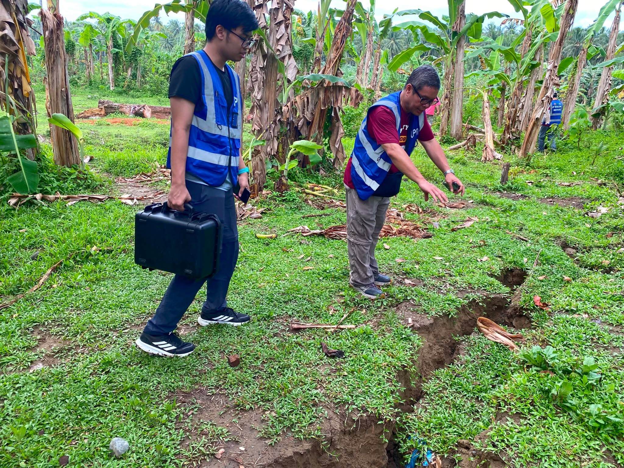
Further inland, the team documented severe ground failure in the Municipality of Glan, particularly within the Glan School of Arts and Trades (GSAT) campus adjacent to the Glan River. Field investigations revealed extensive ground fissures stretching across several tens of meters, exhibiting a highly consistent spatial pattern that indicates a distinct, localized zone of deformation.
The findings from the post-earthquake assessment emphasize the importance of rapid, science-based field investigations in understanding the full extent of earthquake impacts beyond what can be observed immediately after a disaster. By integrating geological field mapping, infrastructure inspections, drone surveys, and numerical hazard modeling, the UP Resilience Institute Quick Response Team provided critical information to support evidence-based decision-making for response, recovery, and long-term risk reduction. These efforts reinforce UPRI’s commitment to advancing disaster resilience through timely hazard assessment, scientific research, and collaboration with national and local partners to help build safer and more resilient communities.