UP Resilience Institute representatives attended the recently concluded Pista ng Mapa and State of the Map Asia 2022 Conference held from November 21 to 25, 2022 at the Bicol University East Campus in Legazpi City, Albay.
Pista ng Mapa (Festival of Maps) is the pioneer and premier free (as to cost and as in freedom) and open conference in the Philippines made for and by people who have a passion for open mapping, open data, and open source. It is an outreach activity to generate public interest, advocate and advance the use of open (geo) data, promote free and open source software for geospatial (FOSS4G), and support local open mapping communities around the Philippines.
Since the first Pista in 2019, it has connected countless participants from different backgrounds to celebrate open-source code and software, open data, and open geospatial information. It has inspired new members to join, help, or start their communities.
Meanwhile, State of the Map Asia (SotMA) is a regional State of the Map conference for the continent of Asia. The idea was born at State Of The Map 2012, held in Tokyo, and after some brainstorming, held their first conference in 2015.
The back-to-back conferences brought together 300+ delegates from cities and municipalities across the country and internationally, celebrating open data and open mapping initiatives in the Asia Pacific region.
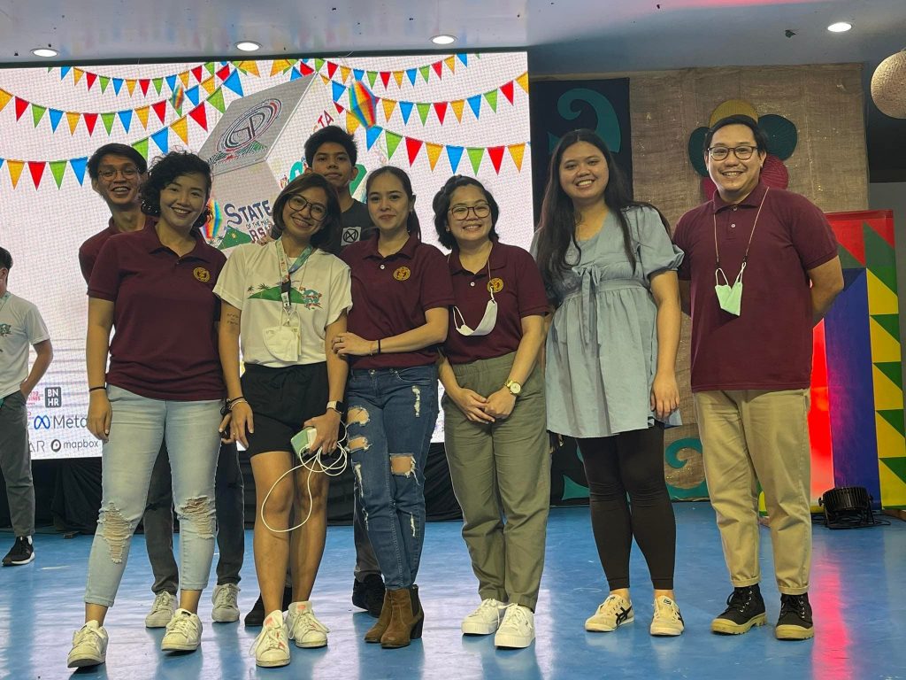
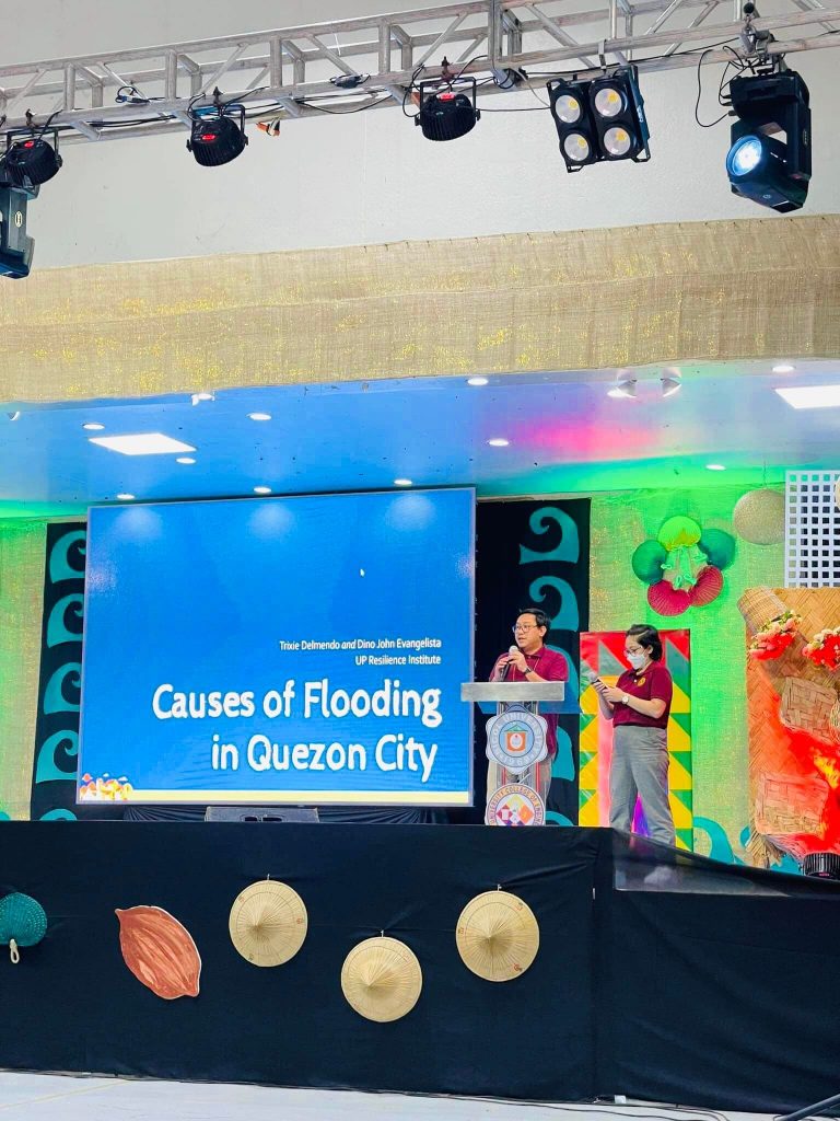
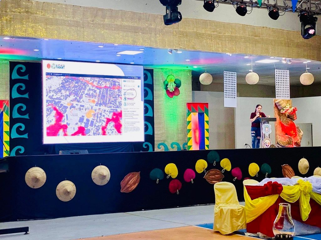
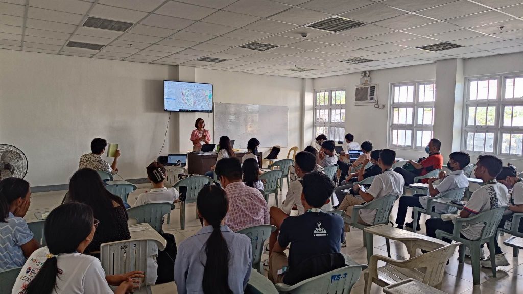
Representatives from the UPRI – NOAH team including Dianne Bencito, Janice Carpo-Aldea, Fritz Andal, Kenneth Liporada, Feye Andal, Patricia Delmendo, and Dino Evangelista delivered talks and workshops related to the utilization of open data in the field of disaster risk reduction and management, the causes of urban flooding in Quezon City, and using geospatial data with Python in Pista ng Mapa. Monica May L. Mendoza, a UPRI – Education office representative, helped facilitate the field data collection workshop using QGIS and Mergin Maps, with Feye Andal leading the workshop.
In the workshop facilitated by Dianne Bencito and Fritz Andal, the two researchers discussed how Python became the most popular programming language, especially in geospatial analysis. Since Pista ng Mapa promotes free and open source platforms, Python was recognized as the best programming language for geospatial data manipulation and the fastest-growing programming language due to it being free and open source while having a supportive community of developers I. They also introduced the basics of Python and GIS and gave a few hands-on exercises. Additionally, they discussed the usage of GeoPandas, a Python library, such as reading a geospatial file, measuring distance, and modifying the projections.
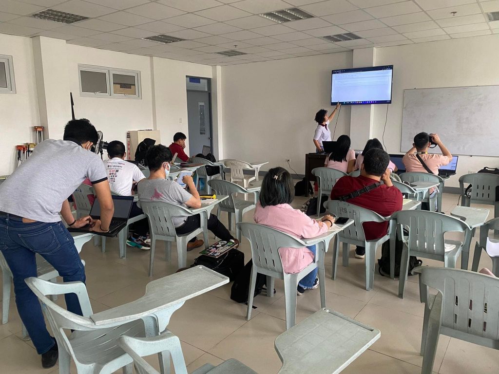
Meanwhile, Feye Andal and Monica Mendoza led the workshop on collecting data using QGIS and Mergin Maps. Mergin Maps is a set of tools, applications, and online services that helps collect, store, and synchronize spatial data. In the workshop, they discussed how to design a survey project using QGIS and upload it to the cloud, conducted mini-fieldwork around the campus to collect data about the university buildings using Mergin Maps, and synchronized the collected data from Mergin Maps to QGIS.
A series of workshops about QGIS handled by one of the event organizers, Ben Hur Pintor, was also attended by the UPRI researchers as participants on the 3rd day of Pista ng Mapa and State of the Map 2022. The workshops included a discussion about data collection using QGIS and QField, Web Mapping, and automating processes, presentations, and model builders. All these are relevant and useful in UPRI’s map-making and modeling processes.
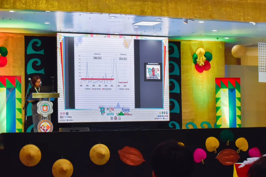
Our Executive Director, Dr. Alfredo Mahar Francisco Lagmay, also delivered a keynote speech on the first day of State of the Map Asia 2022, highlighting the importance of smart cities in the Philippines through the help of open data.
Similar to Pista ng Mapa, the SotMA 2022 during the latter part of the week, held simultaneous academic sessions facilitated by professionals from different fields of mapping and research abroad. Some of the academic sessions attended by the UPRI researchers were about the state of female participation in Open-Mapping, the use of portable offline web map servers, the use of drones for mapping and rescue operations, and the use of Artificial intelligence (AI), and Computer Vision in mapping.
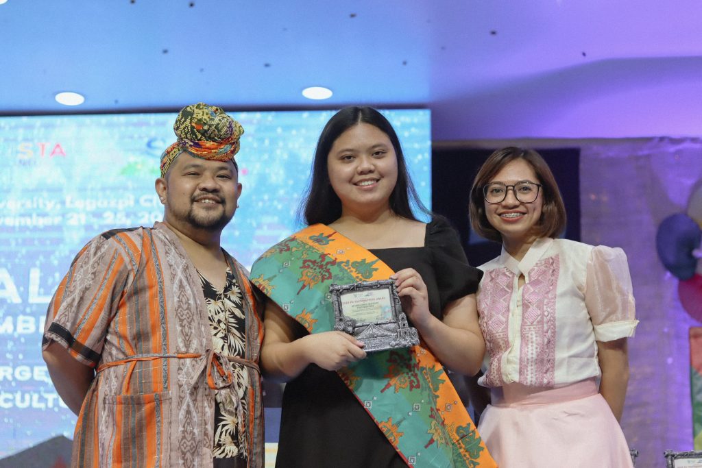
Our student organization, UPRI YouthMappers (UPRIYM), received the PH 2022 YouthMappers Award for their distinguished and invaluable contribution to OpenStreetMap and open mapping for 2022, during the Cultural Night of the conference. UPRIYM Mentors Monica Mendoza and Feye Andal received the award on behalf of the student organization.
UPRI would like to congratulate the organizers, sponsors, participants, partners, and volunteers of Pista ng Mapa and State of the Map Asia 2022.
Photo credits to Joshua Losantas of the Geodetic Engineers of the Philippines Inc. Bicol University Student Chapter