Posted by NOAH Hazard Team
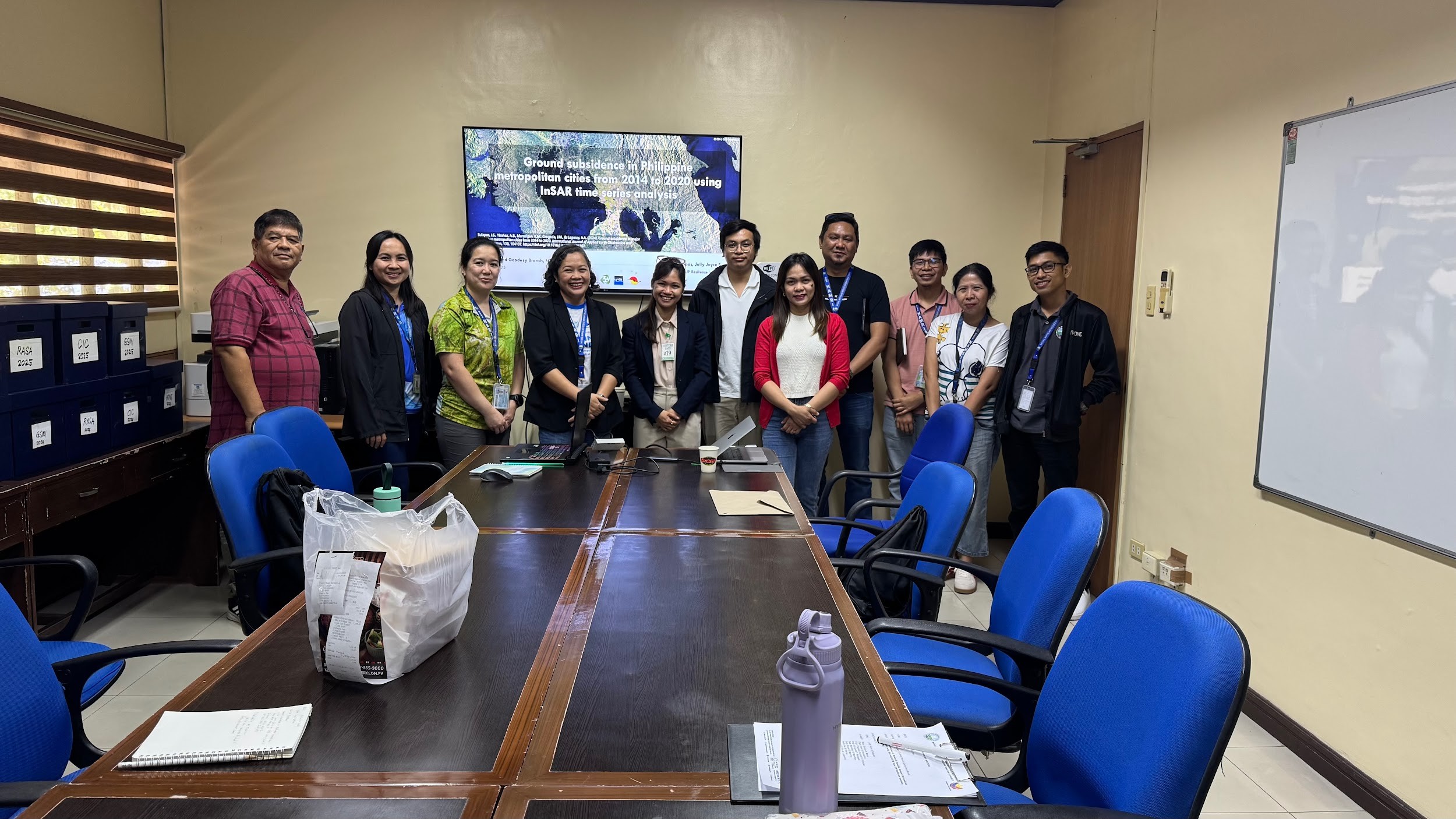
On April 3, 2025, the National Mapping and Resource Information Authority (NAMRIA) held a consultation meeting with the University of the Philippines (UP) Resilience Institute (RI) at its main office in Fort Bonifacio, Taguig. The meeting was facilitated by Engr. Charisma Cayapan of the Mapping and Geodesy Branch (MGB), which oversees the Philippine Active Geodetic Network (PageNET) — a nationwide system of permanent Global Navigation Satellite Systems (GNSS) that supports NAMRIA’s broader goal of modernizing the Philippine Geodetic Reference System (PGRS).
The meeting focused on UP RI’s subsidence study conducted in key metropolitan areas across the country. Ms. Sulapas from UP RI shared valuable insights on SAR processing and time series analysis using LiCSAR and LiCSBAS, highlighting how these tools can enhance the interpretation of ground movement and improve the accuracy of geodetic data.
One of the key takeaways from the meeting was the continued challenge of effectively modernizing the PGRS. Technical issues with data parameters, difficulties in maintaining geodetic benchmarks nationwide, and the lack of manpower all contribute to the complexity of the task, resulting in inconsistencies and data gaps. Achieving a nationwide objective requires a collaborative effort and the efficient use of already-available tools and resources.
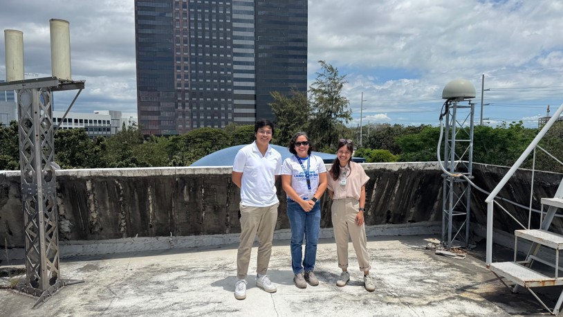
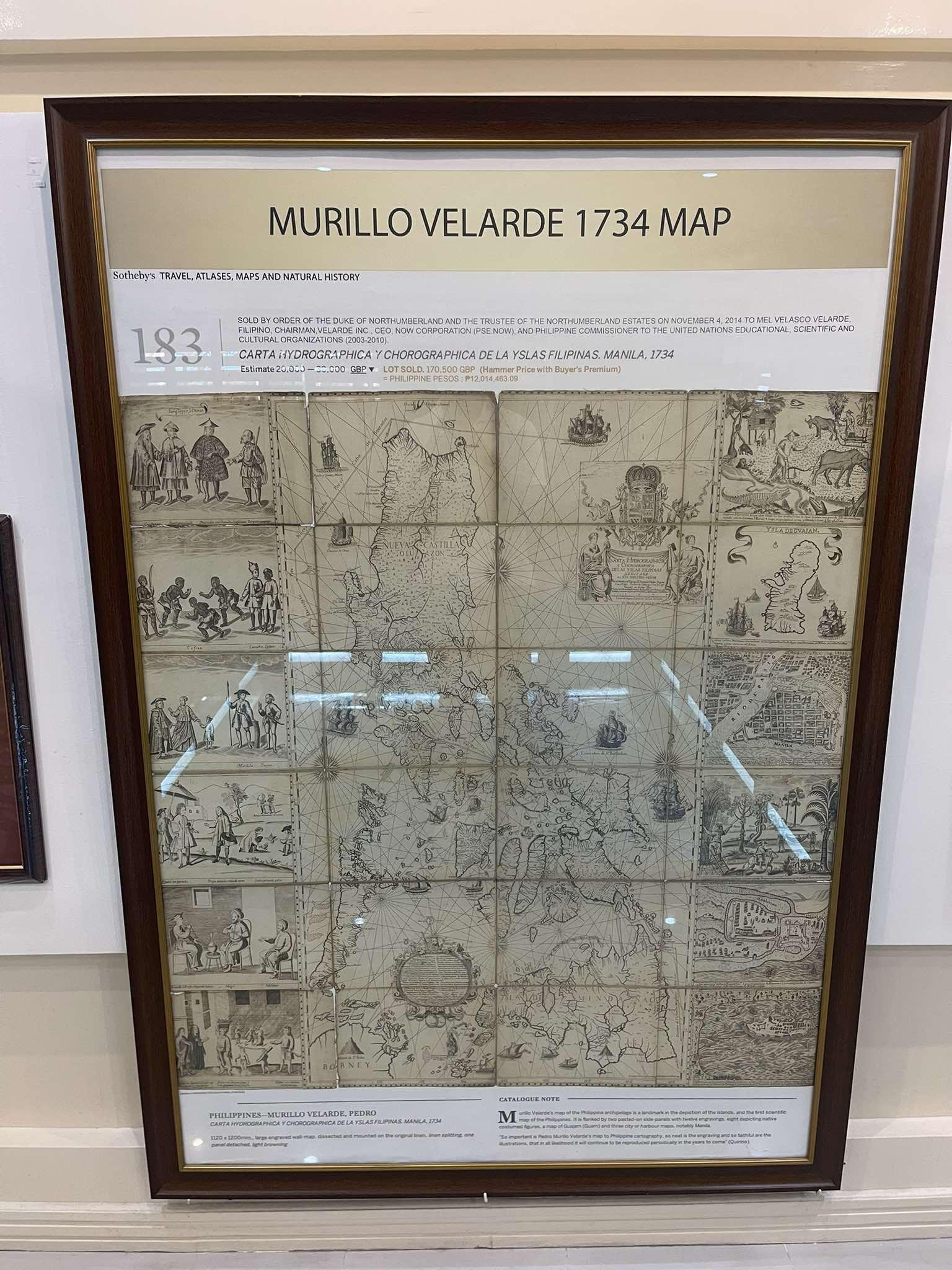
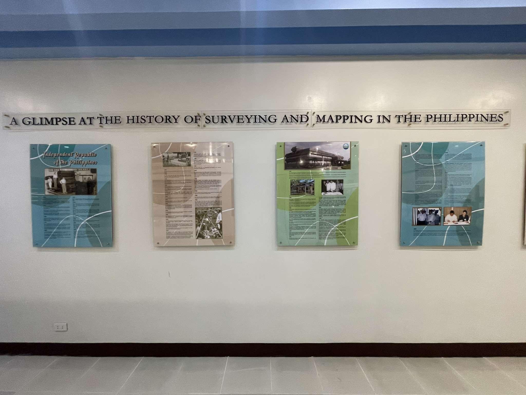
As a gesture of appreciation, Engr. Cayapan led the UP RI representatives on a tour of their facility, showcasing installed satellite and geodetic instruments, as well as NAMRIA’s library. The library doubles as a museum, housing historical artifacts related to the early development of navigation and geodetic technology. Among the highlights is a replica of the “Carta Hydrographica y Chorographica de la Yslas Filipinas”, also known as the Murillo Velarde 1734 Map. Often referred to as the “mother of all Philippine maps,” it remains a vital historical reference in affirming the country’s sovereignty over the Kalayaan Island Group.
This opportunity allows UPRI to share latest scientific knowledge that help in impactful solutions at a national level or regional level. Moreover, these meetings build trusted relationships that can lead to long-term partnerships and programs. This meeting with government agencies provides a strategic advantage by fostering collaboration, aligning regulatory and scientific priorities, and accelerating the development and implementation of innovative solutions through shared expertise and resources.