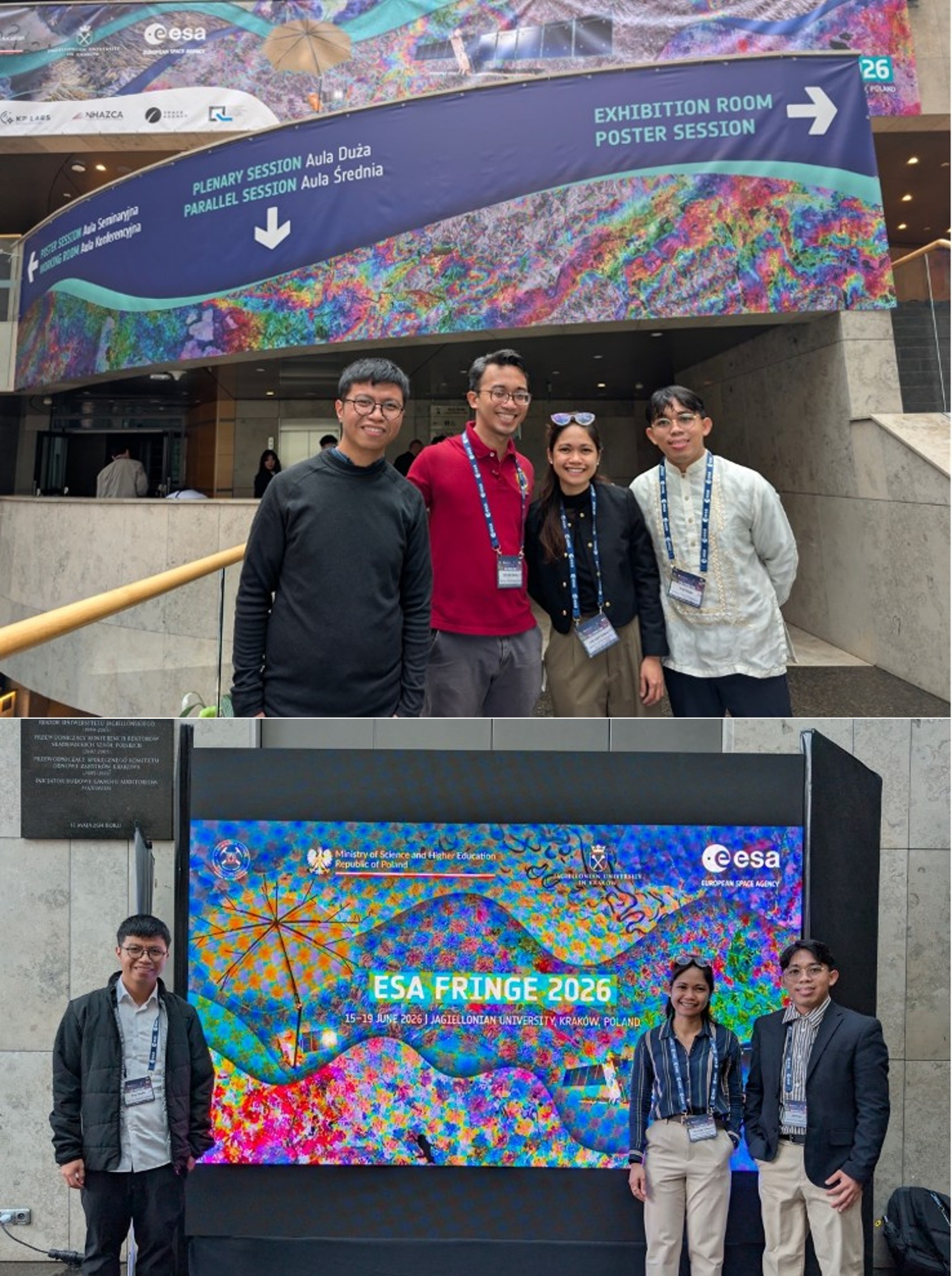
Written by: NOAH Hazard Assessment Team
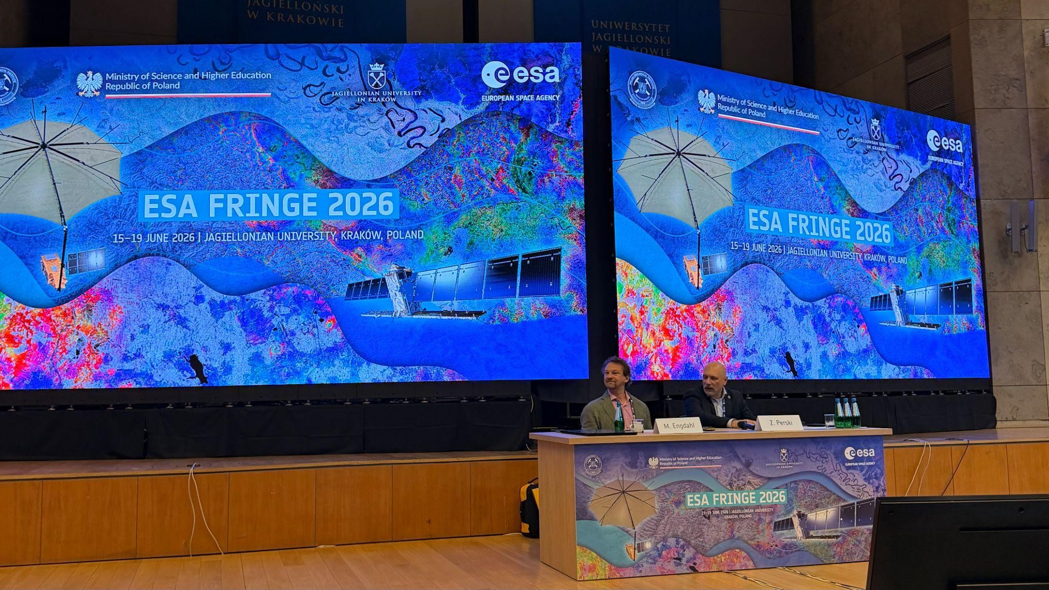
The European Space Agency’s FRINGE 2026 workshop was held at Jagiellonian University in Kraków, Poland, from 15 to 19 June 2026 under the theme “Advances in the Science and Applications of SAR Interferometry”. This event, held every two to three years, once again served as a central forum for the global Interferometric Synthetic Aperture Radar (InSAR) community, bringing together scientists, mission teams, industry representatives, and early‑career researchers to exchange knowledge and showcase advances in InSAR, a remote sensing technique using radar satellites to measure millimeter-scale deformation of the Earth’s surface over time. FRINGE 2026 was structured around a series of thematic sessions that reflected both mission updates and scientific frontiers. These themes included advances in theory and methodology, current and future ESA SAR missions, phase closure theory and applications, data products, atmosphere and ionosphere, processing environments and operational services, volcanoes and volcanic hazards, ice and snow, displacements and deformations, BIOMASS, earthquakes and tectonics, bistatic and multistatic SAR with Harmony, and landslide and related hazards. The breadth of topics underscored FRINGE’s role in bridging fundamental science with applied hazard monitoring and operational services.
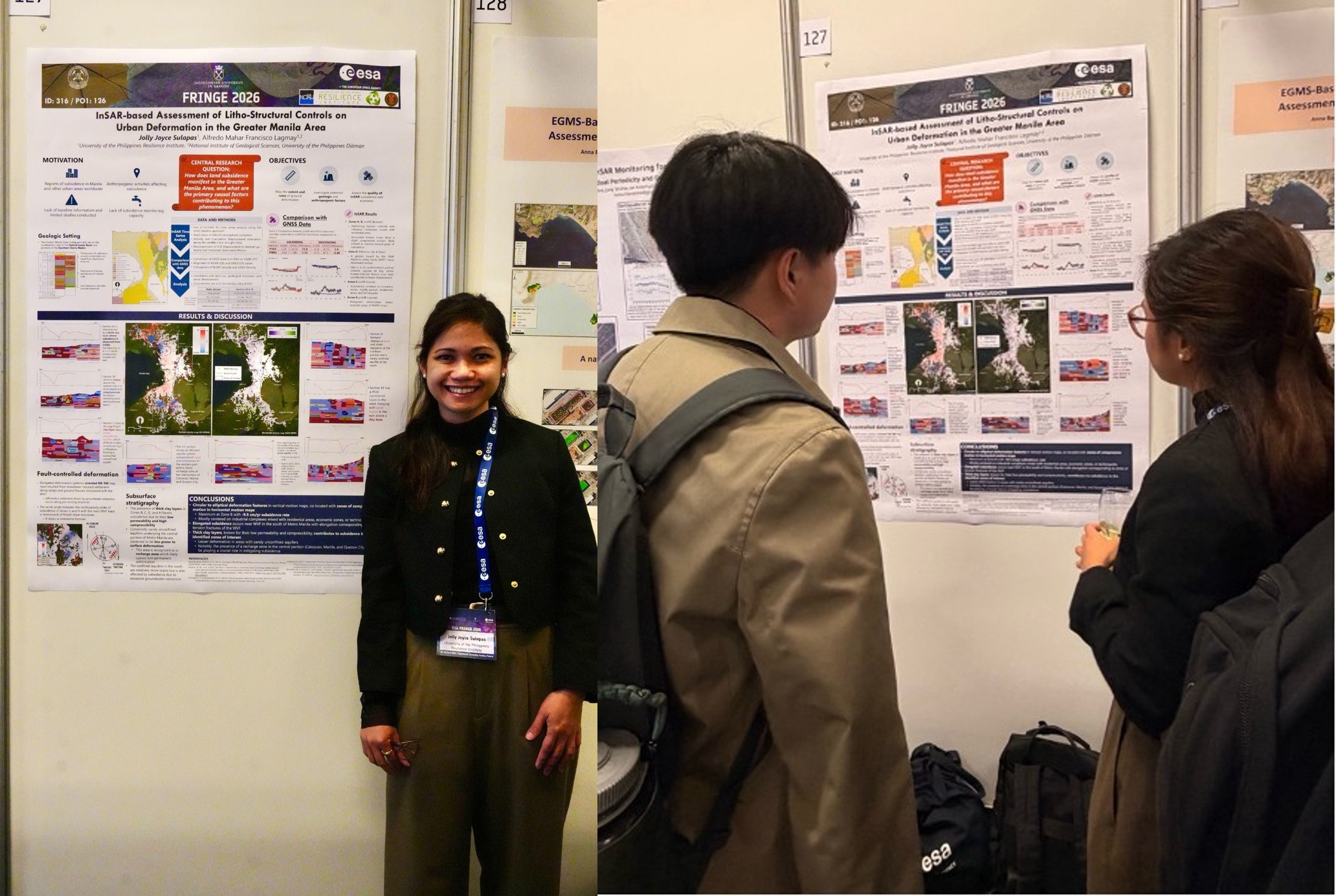
The UP Resilience Institute (UPRI) participated through Jolly Joyce Sulapas, who presented a poster titled “InSAR‑based Assessment of Litho‑Structural Controls on Urban Deformation in the Greater Manila Area.” The study underscores the effectiveness of InSAR as a monitoring framework for urban deformation, enabling the detection of subtle, spatially variable ground‑motion patterns that traditional ground‑based methods may overlook. By integrating InSAR‑derived geospatial data with geological and hydrological information, the research supports evidence‑based land‑use planning, hazard assessment, and subsidence mitigation strategies in the Greater Manila Area and similar urban environments worldwide. Her participation was supported by the Research Dissemination Grant of the Office of the Vice President for Academic Affairs (OVPAA).
FRINGE 2026 also offered a glimpse into the future of radar missions, with exciting developments ahead for Sentinel‑1 Next Generation, NISAR, ROSE‑L, Harmony, and Hydroterra. These upcoming missions promise enhanced spatial resolution, improved temporal coverage, and expanded applications for environmental monitoring and hazard assessment—advances that will further empower institutions like UPRI to strengthen resilience through science‑based decision‑making.