
By Monica May L. Mendoza, Education Division, and Alexis Bryan G. Rivera and Cristan M. Malaiba, UP NOAH Center-Hazard Assessment Team
The University of the Philippines Resilience Institute (UPRI), together with the Department of Education (DepEd), through its Disaster Risk Reduction and Management Service (DRRMS) and Education Facilities Division (EFD), and the Department of Public Works and Highways–Negros Island Region (DPWH-NIR), conducted a Joint Technical Validation Mission in San Juan, Siquijor, on 24-26 September 2026.
The mission aimed to assess reported ground subsidence and sinkhole hazards affecting selected public schools, identify areas potentially exposed to ground instability, and determine locations that may require further geophysical and geotechnical investigation. The findings are intended to provide technical inputs for DepEd and the selected schools in identifying potential risks, developing appropriate risk reduction measures, evaluating proposed sites for Learning Continuity Spaces (LCS), and informing decisions on school facility management and learning continuity.
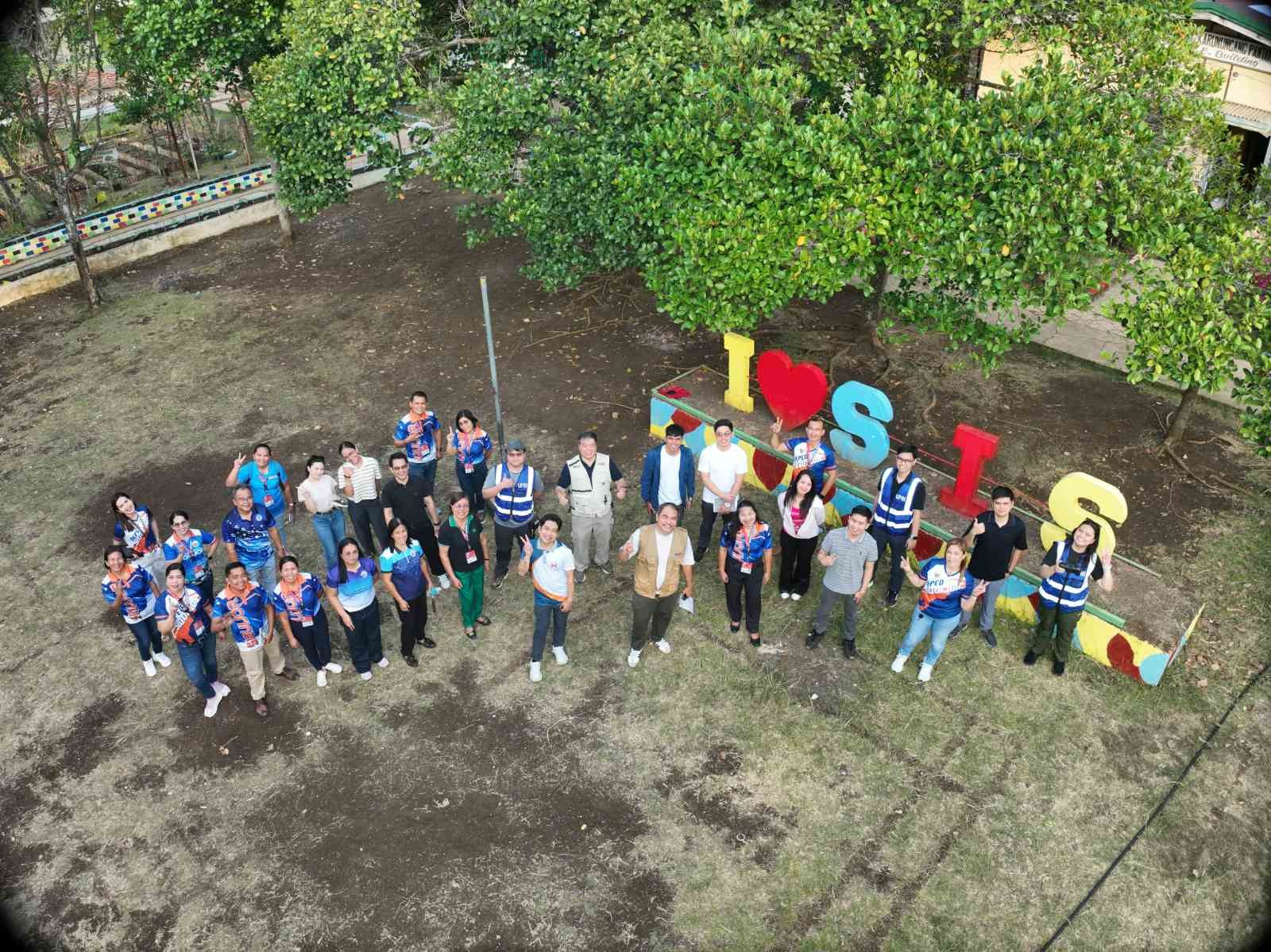
The UPRI team comprised Engr. Alexis Bryan Rivera, a civil engineer; Mr. Cristan Malaiba, a geologist, both from the UP NOAH Center–Hazard Assessment Team, and Ms. Monica May Mendoza of the Education Division, who served as the team’s drone pilot.
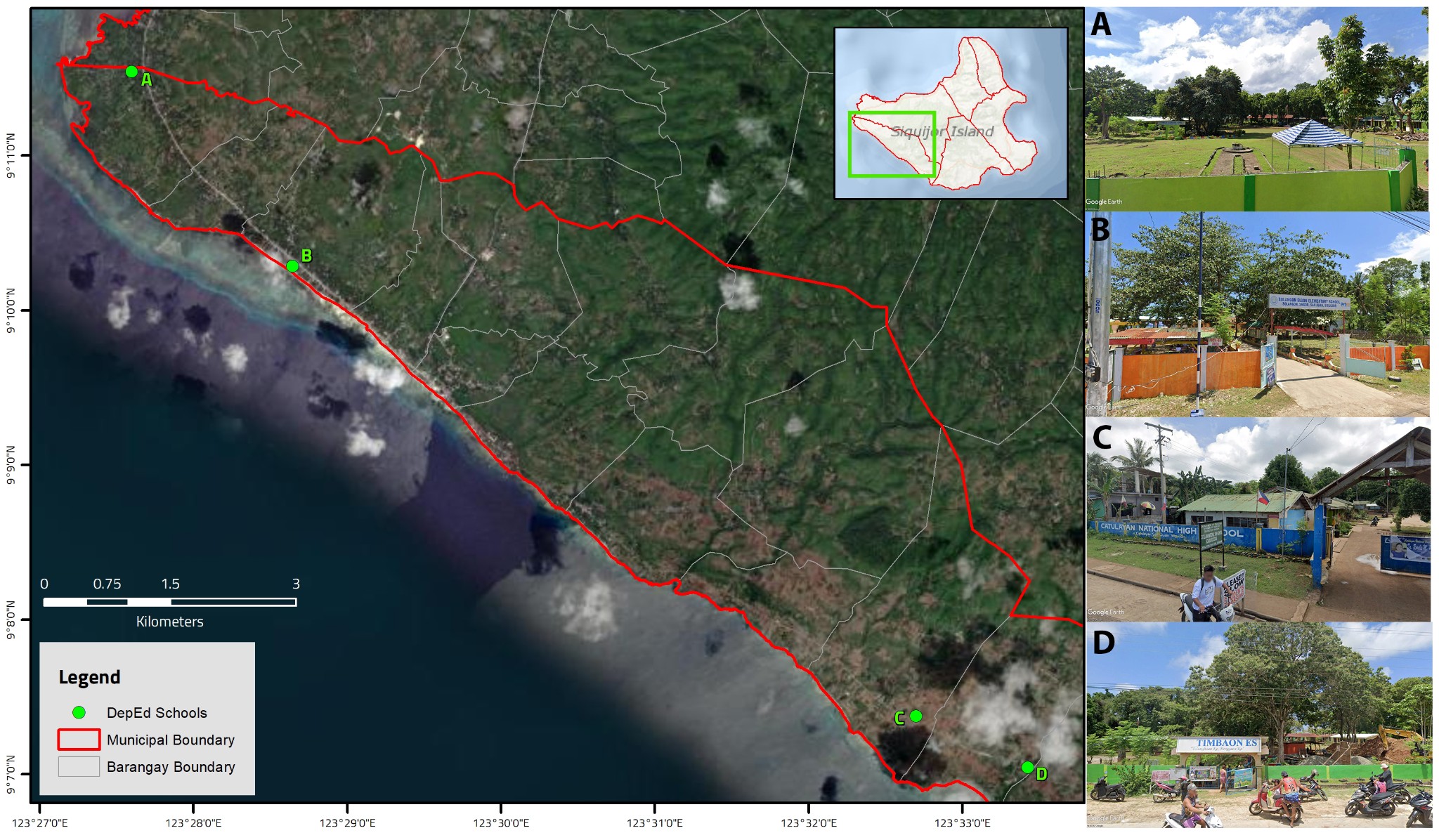
The mission visited four schools: Solangon Elementary School, Catulayan National High School, Timbaon Elementary School, and Tambisan Elementary School (Figure 2). Field inspections and drone-based aerial surveys were conducted to document site conditions and gathered geospatial information to complement ground observations and existing geohazard data of the four schools.
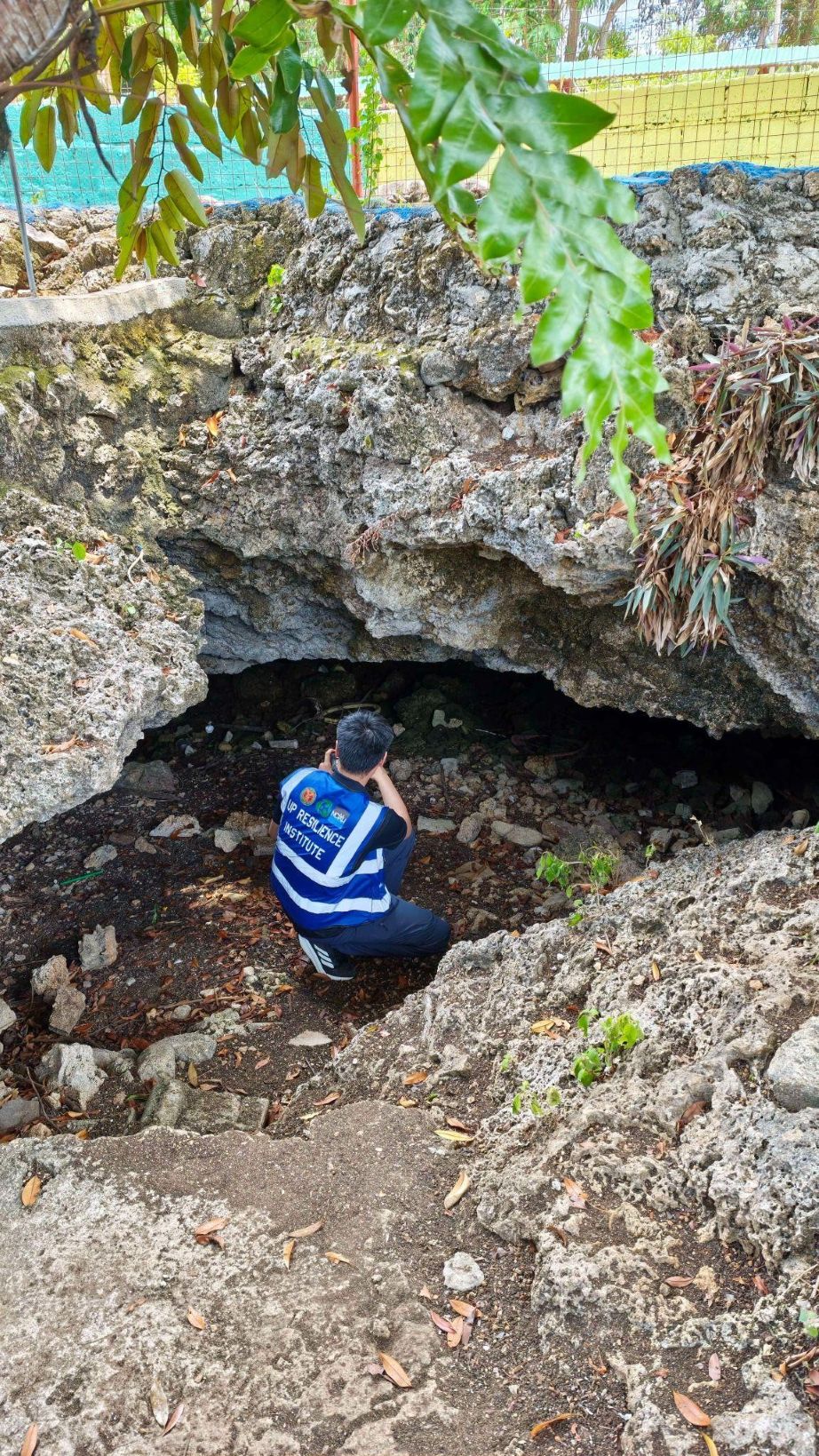
Ground subsidence refers to the gradual or sudden sinking of the ground surface. Sinkholes are depressions or openings that form when the ground surface collapses or settles into underlying cavities. These features commonly occur in karst environments, where soluble rocks such as limestone gradually dissolve through interactions with water, creating underground cavities that may eventually compromise ground stability.
The four school sites are situated within an area underlain by limestone, making the assessment of potential hazards particularly important. Field observations documented sinkholes and other surface manifestations across the schools, although site conditions varied. These included multiple sinkhole features at Solangon Elementary School, a major sinkhole opening and a subsided open field at Catulayan National High School, a vegetated sinkhole at Timbaon Elementary School, and existing cave and sinkhole features at Tambisan Elementary School.
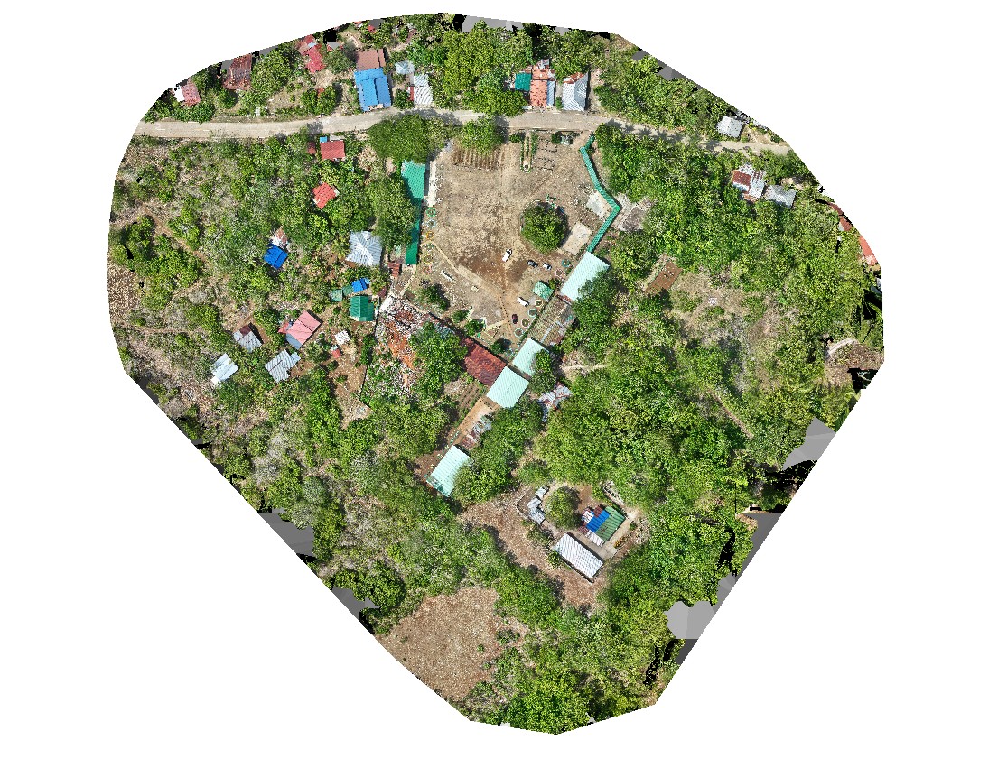
Drone-based documentation and geospatial analysis provided a broader view of the school grounds and their surroundings, complementing field observations and existing geohazard information. These outputs support the identification and spatial documentation of potentially vulnerable areas and can help determine locations requiring closer technical investigation.
The mission’s findings and observations underscore the importance of further subsurface characterization, including appropriate geophysical surveys and targeted geotechnical investigations where necessary. These assessments can help inform decisions on school safety, potential engineering interventions, and long-term learning continuity planning. The observations and geospatial data gathered during the mission will be discussed in greater detail in a separate NOAH Open File Report.
Through this inter-agency collaboration, UPRI continues to provide science-based assessments of ground subsidence and sinkhole hazards that may threaten the safety and structural integrity of educational facilities. These hazards can cause ground instability, structural damage, and potential ground collapse, posing risks to school and communities. By integrating field observations, drone-based documentation, and geospatial analysis, the assessment supports the identification of vulnerable areas, evaluation of proposed Learning Continuity Spaces (LCS), and development of evidence-informed recommendations for further scientific investigation. This UPRI’s initiative highlights the importance of integrating geohazard assessments into school infrastructure planning to ensure learning continuity in hazard-prone communities.