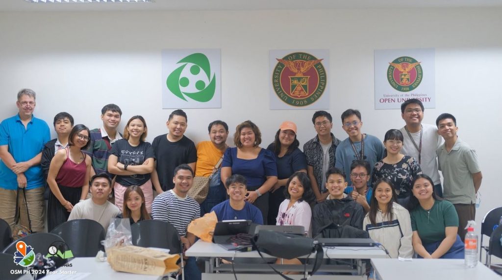
The UP Resilience Institute YouthMappers (UPRI YouthMappers), together with MapBeks and Geoladies Philippines, co-hosted the OpenStreetMap Philippines (OSM PH) Year-Starter event last January 27, 2024 at the UP Resilience Institute Training Room. OpenStreetMap (OSM), an open-source software and geographic database for mapping maintained by a community of volunteers through active engagement and community participation, was highlighted during the event.

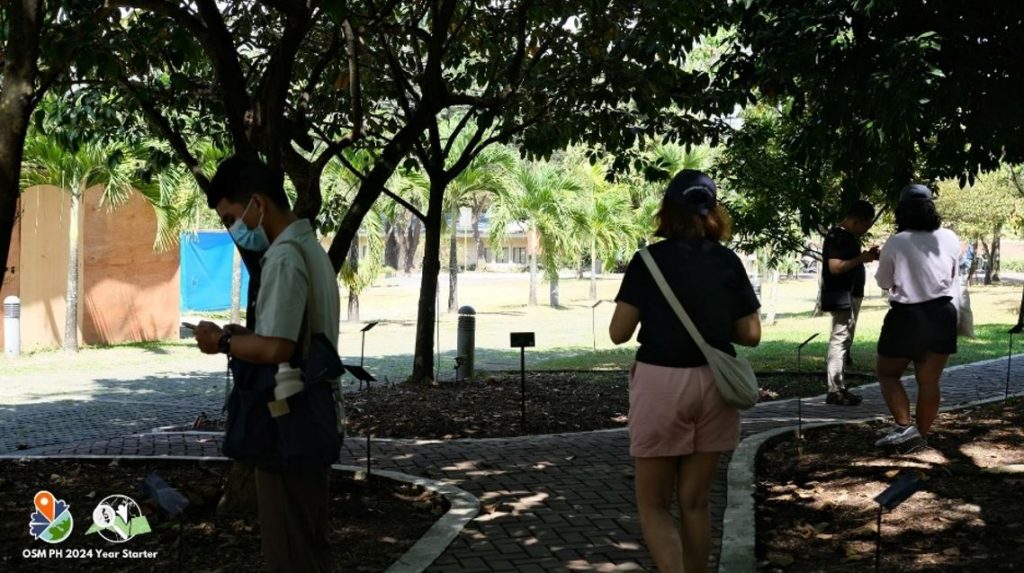
Members of the UPRI YouthMappers facilitated the workshops on Every Door, Organic Maps, and Mapillary – mobile applications that can be used to edit in and contribute to OpenStreetMap. Following the workshops, a mobile field mapping activity was conducted around the UP Diliman campus. OSM mappers utilized Mapillary to capture new street-level imagery for Magsaysay Avenue and Laurel Avenue, and the Every Door app was used to map points of interest, particularly trees, within the U.P.-Washington SyCip Garden of Native Trees.

The Year-starter gathered twenty-four (24) mappers from the OSM PH community to contribute open data, which can be used by researchers, decision-makers, and communities in societal and community development initiatives.
—
The UPRI YouthMappers, MapBeks, and Geoladies PH are some of the communities in the Philippines that advocate for the use of open data and OpenStreetMap. Know more about them through their Facebook page.
UP Resilience Institute YouthMappers: https://www.facebook.com/UPRIYouthMappers
MapBeks: https://www.facebook.com/mapbeks
Geoladies PH: https://www.facebook.com/geoladiesph
