The UP Resilience Institute NOAH Center was invited to serve in two different events last 22 March and 5 April 2024 namely CAMANAVA Flood and Disaster Resiliency Preparation Conference and the National Geology Congress.
The JCI Malabon held its first CAMANAVA Flood and Disaster Resiliency Preparation Conference and was participated by UPRI researchers Jolly Joyce Sulapas and Steffanie Chua. The event aimed to enable CAMANAVA to be disaster-resilient by providing an avenue to discuss ICT resiliency, and personal and community security and awareness. The speaking topic is UPRI Open Science Initiatives. The event is geared towards business owners and personal preparedness. Sulapas discussed the open science initiatives of the institute as well as its hazard modeling outputs. Chua shared the flood modeling activities of UP NOAH, such as formulating drainage master plans, internet-of-things, and exposure assessment, among others.

Whereas the National Geology Congress held last 5 to 6 April 2024 was organized by the UP Geological Society, the National Geology Congress is the country’s leading earth sciences event catered to high school students. Workshops, seminars, and a quiz bee all serve to empower and espouse interest in the earth sciences among high school students and teachers alike.
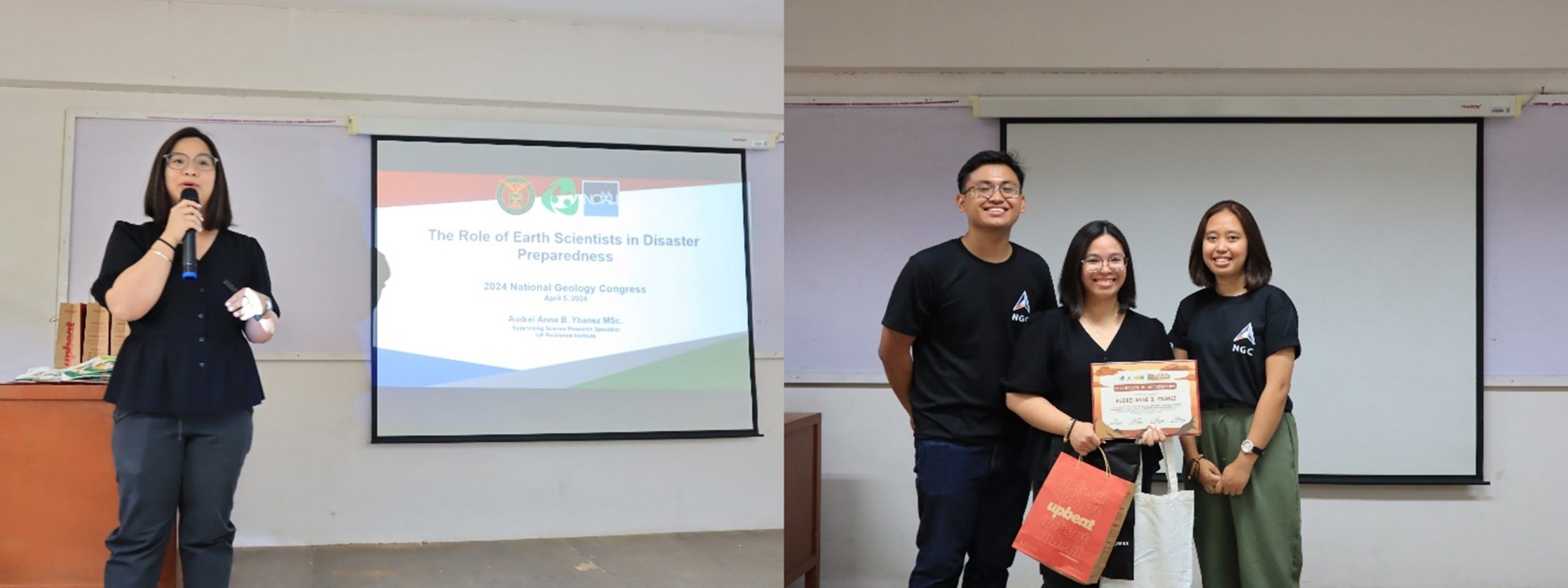
Speaking on the topic “The Role of Geoscientists in Disaster Risk Reduction and Mitigation”, Audrei Anne Ybañez, Supervising Science Research Specialist of the UP NOAH Center, discussed the critical role earth scientists play in the interdisciplinary and transdisciplinary practice of Disaster Risk Reduction and Mitigation. Identification and mapping out of natural hazards are crucial in developing accurate and effective mitigation and preparedness plans and projects. Through the analytic lens of earth processes, geologists are able to understand both past and present hazards to prepare for future occurrences of hazards. To cite concrete examples of this practice to the young and aspiring earth scientists, Ybañez showed the research outputs of the UP NOAH Center and the different instances that these have been used in response to disasters and for the service of the general public. Hazard maps and models and post-disaster response awed the students, spurring questions on stories and experiences in the field. The talk ended with a call for the students to be more involved in resilience building and DRR, even in their own small ways.