The UP RI Nationwide Operational Assessment of Hazards (NOAH) Center’s Hazards Assessment Team (HAT) underwent lahar modeling training using LaharZ software last May 10, 2023 led by Ella Virayo, an undergraduate student affiliated with the Volcano-Tectonics (VTec) Laboratory of the University of the Philippines National Institute of Geological Sciences (UP NIGS).
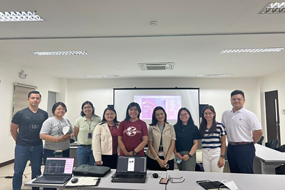
UP RI NOAH Hazards Team with Ella Joyce Virayo
Lahar is a natural process which is described as a hot or cold mixture of water and rock fragments that move rapidly down the slopes of volcanoes. This hazardous process may impact properties and lives on its path. To understand the mechanism, triggers, and forecasting of Lahar and Debris flows, several methods may be employed. One such software is LaharZ, a modeling software developed by the United States Geological Survey (USGS) which calculates the proximal hazard zone. It is a python-based program built for Geographic Information System (GIS) over a topographic model and calibrated using real-world scenarios of debris flows. Through the training, the HAT members learned how to utilize LaharZ in mapping inundation zones. Ella Virayo presented a general overview and methods of the GIS tool and led the team through a demonstration of Mayon lahar simulation.
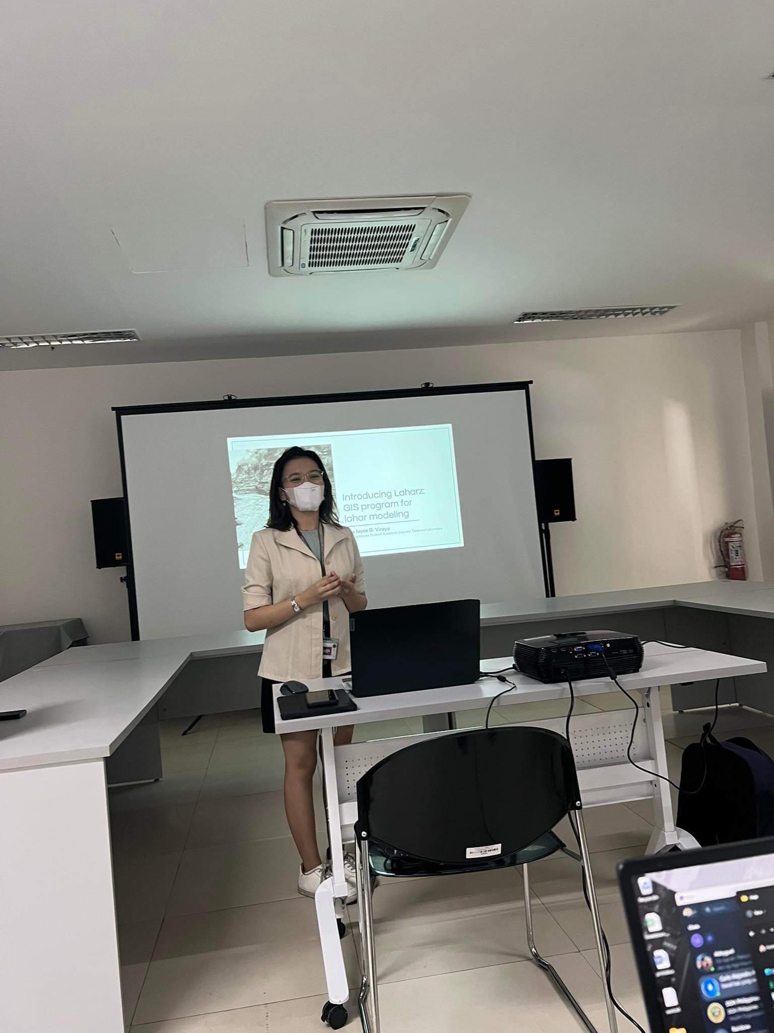
Ella Joyce Virayo presenting the LaharZ Software
Due to ease of use and rapid processing of the software, the HAT members have found the software to be a prospect for future use in modeling lahar and debris flows. Further testing of the software using various lahar scenarios from active volcanoes in the Philippines are in the pipeline.