
By Education Division and NOAH-Hazards Assessment Team
The UP Resilience Institute (UPRI), represented by Ms. Monica May Mendoza of the Education Division and Ms. Julian Bernice Grageda of the NOAH-Hazards Assessment Team, was among the selected participating organizations in the OpenDronePH Launch and Training of the Philippine Space Agency (PhilSA), held on 9–10 August 2026 as part of the Philippine Space Week 2026.
The OpenDronePH launch on 9 August introduced the OpenDronePH platform – a shared, map-based repository that aims to bring together drone-derived datasets and the people and organizations that can contribute to and make use of them. The OpenDronePH Training on 10 August aimed to train and establish a group of contributors and partner organizations that can help sustain and grow the platform. UPRI joined representatives coming from a wide range of institutions in the government, academe, industry, professional organizations, and other sectors in the two-day activity.
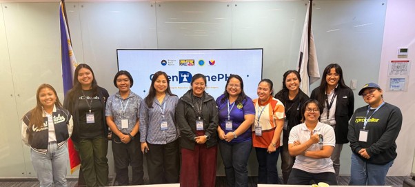
The second day focused on developing participants’ understanding of drone data collection and the OpenDronePH platform. Sessions covered PhilSA’s use of drone technology, open-source sharing of drone data, drone flying, and data collection. Participants also took part in a hands-on Drone Flying Activity before proceeding to a simulation of the OpenDronePH workflow.
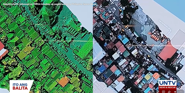
Through the simulation, participants were introduced to ways of engaging with the platform, including finding available drone datasets and missions, previewing orthophotos, uploading raw drone data or orthophotos, participating through organizations and missions, and responsibly using shared data.
OpenDronePH is envisioned as a shared drone data ecosystem, connecting contributors, data users, organizations, and other beneficiaries of drone data. Its identified applications include disaster response, flood and landslide assessment, urban and local planning, infrastructure assessment, environmental monitoring, agriculture, satellite data validation, research, and education. The OpenDronePH platform can be accessed at https://opendrone.philsa.gov.ph/.
For UPRI, participation in the activity provides an opportunity to engage with an initiative focused on making drone-derived information more accessible and useful for applications relevant to resilience, disaster risk reduction, and research. UPRI’s participation contributes to this emerging network of organizations working with drone data and geospatial technologies.
This article is part of the Philippine Space Week 2026 articles of the UP Resilience Institute.
Learn more here: UPRI Joins Philippine Space Week 2026.