
by UPRI Education Division and UP NOAH Center-Hazard Assessment Team
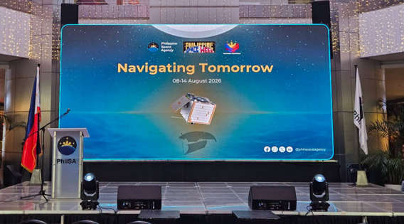
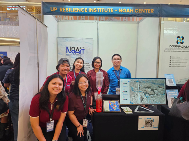
The UP Resilience Institute (UPRI) participated in the Philippine Space Week 2026 Interactive Exhibit on 9 August 2026 at Quantum Skyview, Gateway Mall 2, Quezon City. Organized by the Philippine Space Agency (PhilSA) under the theme “Navigating Tomorrow,” the exhibit brought together institutions and the public to explore how space science and technology can support national development.
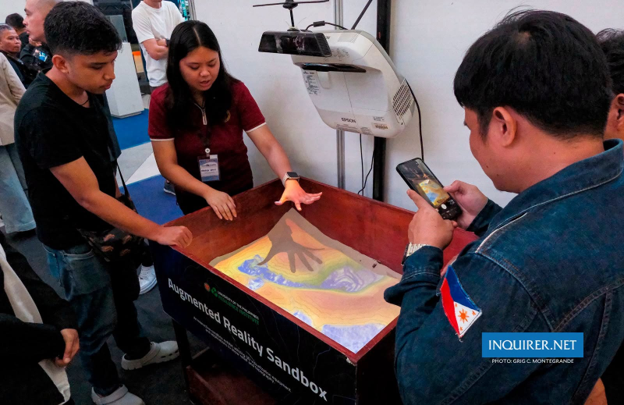
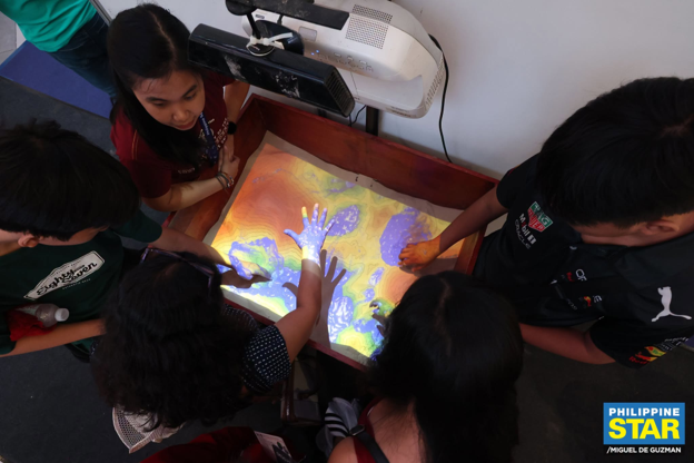
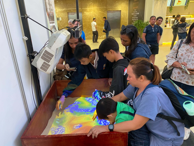
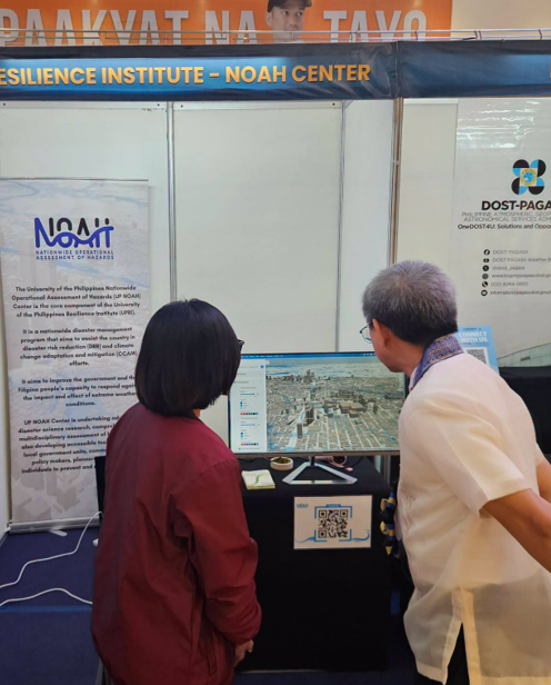
At the UPRI booth, visitors experienced the Augmented Reality Sandbox, which became a crowd favorite among children and other exhibit-goers. By shaping sand into hills, valleys, and other landforms, participants saw changing topographic contours and simulated water flow projected directly onto the sandbox surface. Tornado tubes also gave visitors a hands-on way to observe vortex formation and learn about atmospheric processes.
Prominently featured in the booth was the UP NOAH website, introducing visitors to accessible hazard and risk information that can support risk awareness, preparedness, and informed decision-making. The exhibit demonstrated how geospatial data and interactive learning tools can make complex scientific information more understandable and engaging for diverse audiences.
During the program, Quezon City Mayor Joy Belmonte cited UPRI as an example of the City’s support for science and technology in governance. She highlighted the Quezon City Drainage Master Plan, developed through the City’s partnership with UP, which advances an evidence-based approach to flooding by combining structural and nature-based interventions. The project supports drainage and flood-management planning across Quezon City’s 142 barangays, 44 tributaries, and five major river systems.
UPRI also attended the launch of OpenDronePH, PhilSA’s open-access drone imagery platform that aims to expand the use of aerial data for mapping, environmental monitoring, disaster risk reduction and management, and the validation of satellite-derived information.
UPRI thanks PhilSA for the opportunity to participate in Philippine Space Week 2026 and share science-based, interactive approaches to building resilience with the public.
This article is part of the Philippine Space Week 2026 articles of the UP Resilience Institute.
Learn more here: UPRI Participates in OpenDronePH Launch and Training